
Photo: Bahnfrend · CC BY-SA 4.0 · Wikimedia Commons
Yallingup BeachReport this photo · linked, not stored
Yallingup BeachReport this photo · linked, not stored
 Ngilgi Cave

Photo: Bahnfrend · CC BY-SA 4.0 · Wikimedia Commons
Smiths Beach, Western AustraliaReport this photo · linked, not stored
Smiths Beach, Western AustraliaSmiths Beach, Western AustraliaReport this photo · linked, not stored

Photo: Calistemon · CC BY-SA 4.0 · Wikimedia Commons
Dunsborough BeachReport this photo · linked, not stored
Dunsborough BeachDunsborough BeachReport this photo · linked, not stored

Photo: Calistemon · CC BY-SA 4.0 · Wikimedia Commons
Little Meelup BeachReport this photo · linked, not stored
Little Meelup BeachLittle Meelup BeachReport this photo · linked, not stored
BeachGracetown, Western Australia
Yallingup Beach
BeachBest Jan–Feb · Dec
Elevation–above sea level
Sea, warmest22°CApril
Nearest townGracetown23 km
33.64° S, 115.03° EUTC+8 · Australian Western Standard Time
When to goGracetown · weather score
Best timeJan–Feb · Dec
October: high / low17° / 13°
Beach
Yallingup Beach in brief
Yallingup Beach is a beach in Gracetown, Western Australia, Australia.
The nearest town in the atlas is Gracetown, 23 km to the S, where the weather is best in January, February and December.
The sea is warmest in April, at about 22°C.
Weather nearby now
Forecast for Gracetown13°
Showers now
Today
22 Oct
15°
13°
1 mm
Fri
23 Oct
13°
11°
2 mm
Sat
24 Oct
14°
10°
4 mm
Sun
25 Oct
14°
11°
2 mm
Mon
26 Oct
17°
11°
Model run 00:00 UTCRefreshed several times a day
Sea and air through the year
Sea surface temperature off the coast and the average daily high in Gracetown, month by month.Jan21°22°
Feb21°22°
Mar22°22°
Apr22°20°
May21°18°
Jun21°17°
Jul20°16°
Aug19°15°
Sep18°16°
Oct18°17°
Nov19°19°
Dec20°20°
seaair, daily high
When to go
Climate of GracetownThe best months around Yallingup Beach
Month score in Gracetown
Comfort, dry days and sunshine · out of 10097
Jan
95
Feb
91
Mar
84
Apr
70
May
57
Jun
51
Jul
53
Aug
61
Sep
74
Oct
89
Nov
99
Dec
Map
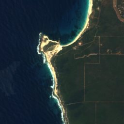
Yallingup Beach from above
Nature nearbyAll of Australia



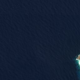
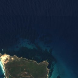


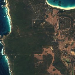
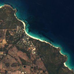


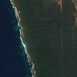
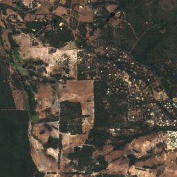
Satellite: Sentinel-2 cloudless 2016 by EOX IT Services GmbH · CC BY 4.0 · Contains modified Copernicus Sentinel data 2016



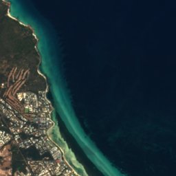


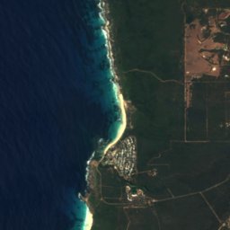
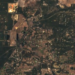
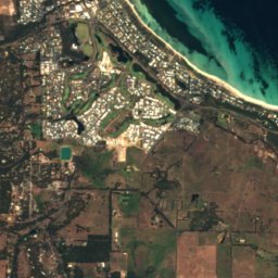
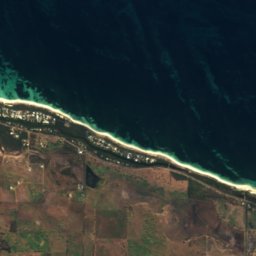
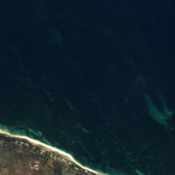
Satellite: Sentinel-2 cloudless 2016 by EOX IT Services GmbH · CC BY 4.0 · Contains modified Copernicus Sentinel data 2016

Stay nearby
Towns close by


Photo: Photograph by Greg O'Beirne · CC BY 2.5 · Wikimedia CommonsReport this photo · linked, not stored
Busselton
Western Australia · 30 km E
18°Oct high
7wet days
82score

Around here
Gracetown and around
Nature
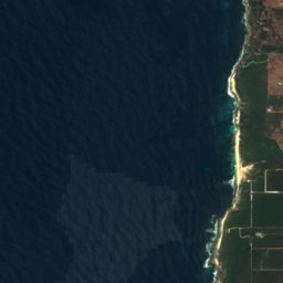
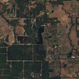
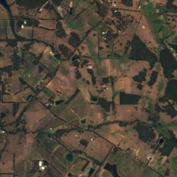

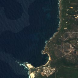
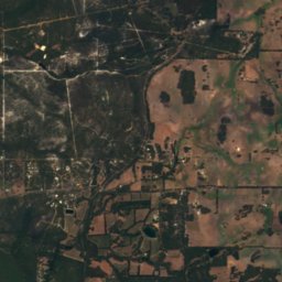
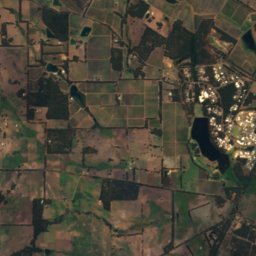
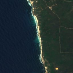
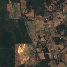
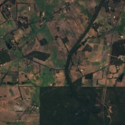
Satellite: Sentinel-2 cloudless 2016 by EOX IT Services GmbH · CC BY 4.0 · Contains modified Copernicus Sentinel data 2016
Cowaramup National Park
National park · 81 m
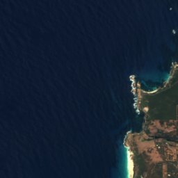
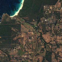
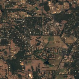
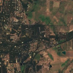
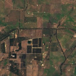
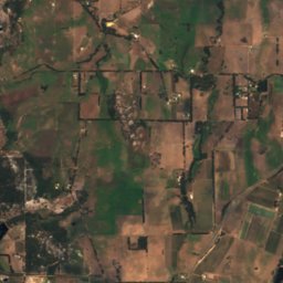
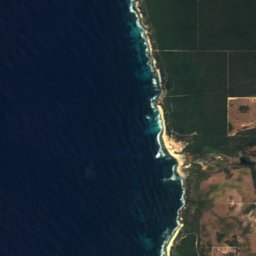
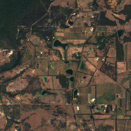
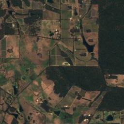
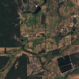
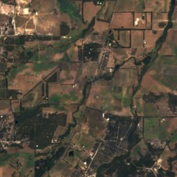
Satellite: Sentinel-2 cloudless 2016 by EOX IT Services GmbH · CC BY 4.0 · Contains modified Copernicus Sentinel data 2016
Yelverton National Park
National park

Photo: The original uploader was Tirin at English Wikipedia. · CC BY-SA 3.0 · Wikimedia CommonsReport this photo · linked, not stored
Mammoth Cave
Cave
Heritage
Museums


Satellite: Sentinel-2 cloudless 2016 by EOX IT Services GmbH · CC BY 4.0 · Contains modified Copernicus Sentinel data 2016
Holmes à Court Gallery
Art museum