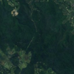
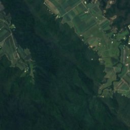
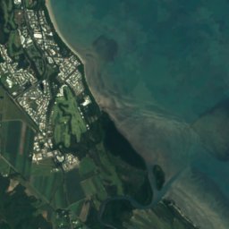






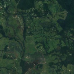
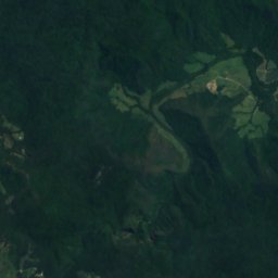
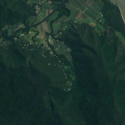
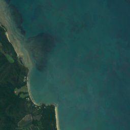





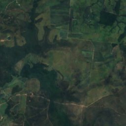
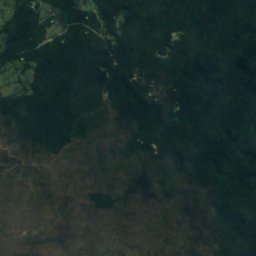
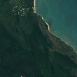





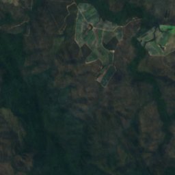
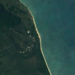




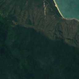
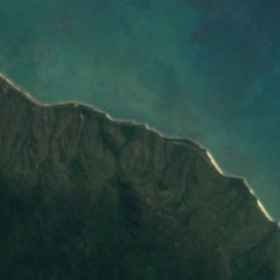


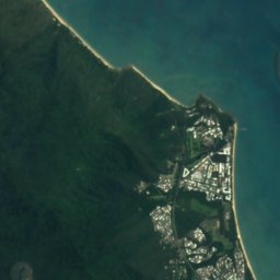
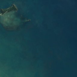

Satellite: Sentinel-2 cloudless 2016 by EOX IT Services GmbH · CC BY 4.0 · Contains modified Copernicus Sentinel data 2016

Photo: David Cook Wildlife Photography · CC BY-SA 2.0 · Wikimedia Commons
Macalister Range National ParkReport this photo · linked, not stored
Macalister Range National ParkMacalister Range National ParkReport this photo · linked, not stored
IslandMowbray, Queensland
Unity Reef
IslandBest Jun–Jul · Oct
Elevation–above sea level
Area–surface
Nearest townMowbray15 km
16.65° S, 145.58° EUTC+10 · Australian Eastern Standard Time
When to goMowbray · weather score
Best timeJun–Jul · Oct
October: high / low26° / 22°
Island
Unity Reef in brief
Unity Reef is an island in Mowbray, Queensland, Australia.
The nearest town is Mowbray, 15 km to the NW, where the weather is best in June, July and October.
Weather nearby now
Forecast for Mowbray27°
Cloudy now
Today
31 Oct
28°
26°
1 mm
Sun
1 Nov
27°
26°
1 mm
Mon
2 Nov
27°
26°
3 mm
Tue
3 Nov
27°
25°
1 mm
Wed
4 Nov
27°
25°
Model run 00:00 UTCRefreshed several times a day
When to go
Climate of MowbrayThe best months around Unity Reef
Month score in Mowbray
Comfort, dry days and sunshine · out of 10044
Jan
42
Feb
50
Mar
60
Apr
67
May
82
Jun
82
Jul
82
Aug
79
Sep
84
Oct
72
Nov
49
Dec
Map
Unity Reef from above
Nature nearbyAll of Australia
Satellite: Sentinel-2 cloudless 2016 by EOX IT Services GmbH · CC BY 4.0 · Contains modified Copernicus Sentinel data 2016

Photo: David Cook Wildlife Photography · CC BY-SA 2.0 · Wikimedia CommonsReport this photo · linked, not stored
Satellite: Sentinel-2 cloudless 2016 by EOX IT Services GmbH · CC BY 4.0 · Contains modified Copernicus Sentinel data 2016
Satellite: Sentinel-2 cloudless 2016 by EOX IT Services GmbH · CC BY 4.0 · Contains modified Copernicus Sentinel data 2016
Satellite: Sentinel-2 cloudless 2016 by EOX IT Services GmbH · CC BY 4.0 · Contains modified Copernicus Sentinel data 2016
Satellite: Sentinel-2 cloudless 2016 by EOX IT Services GmbH · CC BY 4.0 · Contains modified Copernicus Sentinel data 2016
Stay nearby
Towns close by

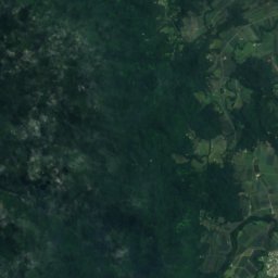
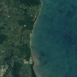

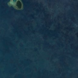
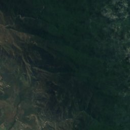
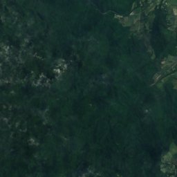
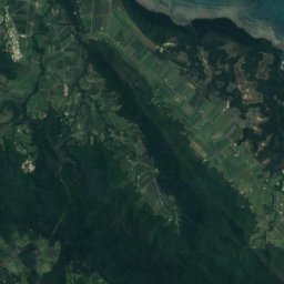
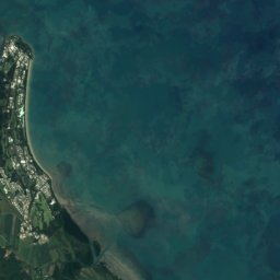

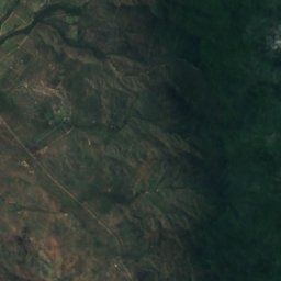
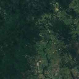
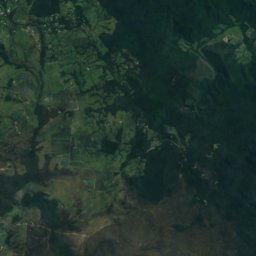
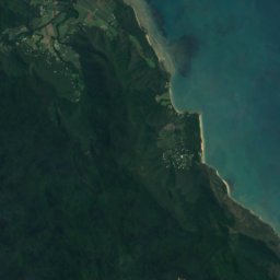

Satellite: Sentinel-2 cloudless 2016 by EOX IT Services GmbH · CC BY 4.0 · Contains modified Copernicus Sentinel data 2016
Craiglie
Queensland · 17 km NW
26°Oct high
5wet days
85score


Photo: Steve Stringer from Billericay, UK · CC BY-SA 2.0 · Wikimedia CommonsReport this photo · linked, not stored
Port Douglas
Queensland · 22 km NW
26°Oct high
5wet days
84score
Around here
Mowbray and around
Nature
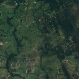
Satellite: Sentinel-2 cloudless 2016 by EOX IT Services GmbH · CC BY 4.0 · Contains modified Copernicus Sentinel data 2016
Mowbray National Park
National park · 229 m
Photo: David Cook Wildlife Photography · CC BY-SA 2.0 · Wikimedia CommonsReport this photo · linked, not stored
Macalister Range National Park
National park
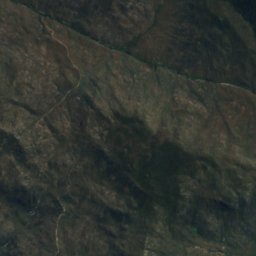
Satellite: Sentinel-2 cloudless 2016 by EOX IT Services GmbH · CC BY 4.0 · Contains modified Copernicus Sentinel data 2016
Mount Lewis National Park
National park
Heritage


St Mary's by the Sea, Port Douglas
listed on the Queensland Heritage Register









Satellite: Sentinel-2 cloudless 2016 by EOX IT Services GmbH · CC BY 4.0 · Contains modified Copernicus Sentinel data 2016
Port Douglas Wharf
listed on the Queensland Heritage Register
Museums


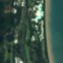



Satellite: Sentinel-2 cloudless 2016 by EOX IT Services GmbH · CC BY 4.0 · Contains modified Copernicus Sentinel data 2016
Ballyhooley Steam Railway
Heritage railway