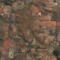
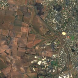
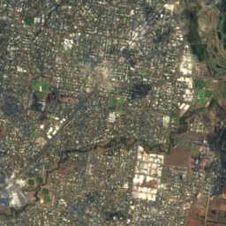
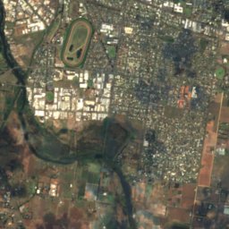
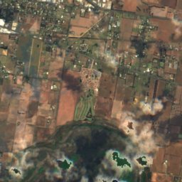
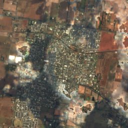
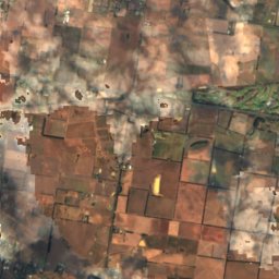
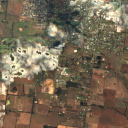
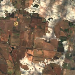
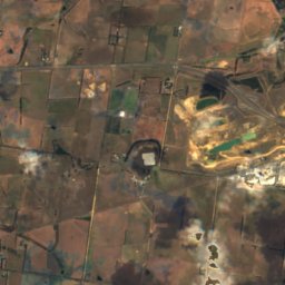
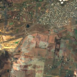
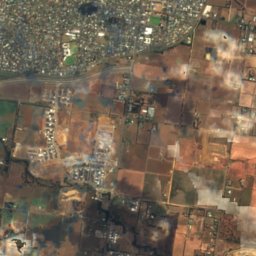
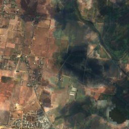
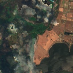
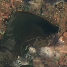
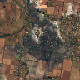
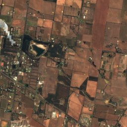
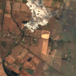
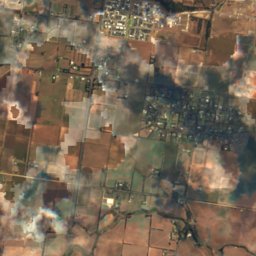
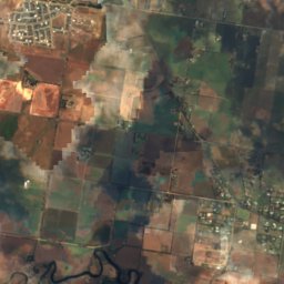
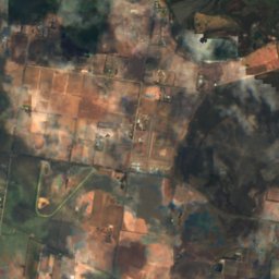
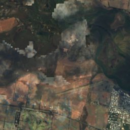
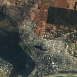
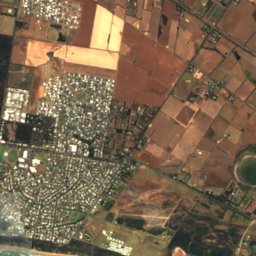
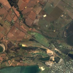
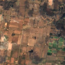
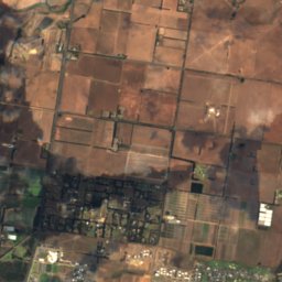
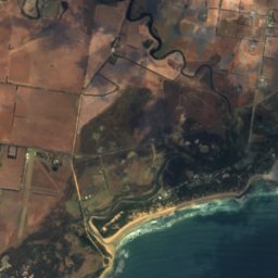
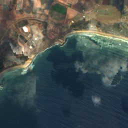
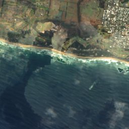
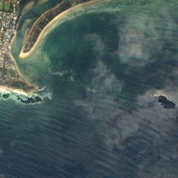
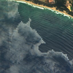
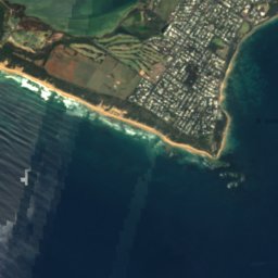
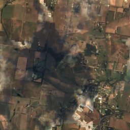
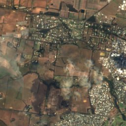
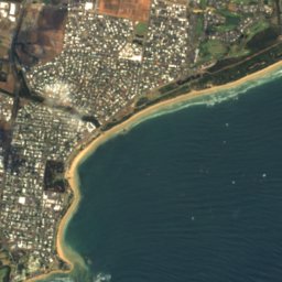
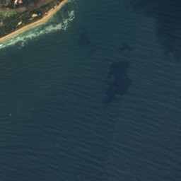
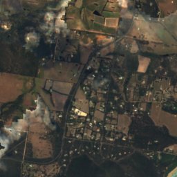
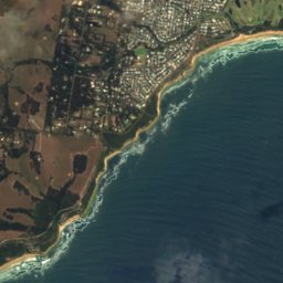

Satellite: Sentinel-2 cloudless 2016 by EOX IT Services GmbH · CC BY 4.0 · Contains modified Copernicus Sentinel data 2016

Photo: Maias · CC BY-SA 3.0 · Wikimedia Commons
Murtnaghurt LagoonReport this photo · linked, not stored
Murtnaghurt LagoonMurtnaghurt LagoonReport this photo · linked, not stored

Photo: 1geel0ng1 · CC BY 4.0 · Wikimedia Commons
Bancoora BeachReport this photo · linked, not stored
Bancoora BeachBancoora BeachReport this photo · linked, not stored

Photo: Stevage · CC BY-SA 3.0 · Wikimedia Commons
Barwon River, VictoriaReport this photo · linked, not stored
Barwon River, VictoriaBarwon River, VictoriaReport this photo · linked, not stored

Photo: Maias · CC BY-SA 3.0 · Wikimedia Commons
Lake ConnewarreReport this photo · linked, not stored
Lake ConnewarreLake ConnewarreReport this photo · linked, not stored
BeachBarwon Heads, Victoria
Thirteenth Beach
Beach13 m elevationBest Feb–Mar · Dec
Elevation13 mabove sea level
Sea, warmest19°CFebruary
Nearest townBarwon Heads4.0 km
38.28° S, 144.44° EElevation 13 mUTC+11 · Australian Eastern Daylight Time
When to goBarwon Heads · weather score
Best timeFeb–Mar · Dec
October: high / low15° / 12°
Beach
Thirteenth Beach in brief
Thirteenth Beach is a beach in Barwon Heads, Victoria, Australia.
It lies at 13 m above sea level.
The nearest town in the atlas is Barwon Heads, 4.0 km to the E, where the weather is best in February, March and December.
The sea is warmest in February, at about 19°C.
Weather nearby now
Forecast for Barwon Heads20°
Clear now
Today
23 Oct
30°
17°
2 mm
Sat
24 Oct
19°
15°
5 mm
Sun
25 Oct
15°
11°
19 mm
Mon
26 Oct
14°
8°
3 mm
Tue
27 Oct
15°
8°
Model run 00:00 UTCRefreshed several times a day
Sea and air through the year
Sea surface temperature off the coast and the average daily high in Barwon Heads, month by month.Jan18°20°
Feb19°20°
Mar19°19°
Apr17°18°
May16°16°
Jun14°13°
Jul13°13°
Aug13°13°
Sep13°14°
Oct14°15°
Nov15°17°
Dec17°18°
seaair, daily high
Map
Thirteenth Beach from above
Nature nearbyAll of Australia


Satellite: Sentinel-2 cloudless 2016 by EOX IT Services GmbH · CC BY 4.0 · Contains modified Copernicus Sentinel data 2016

Satellite: Sentinel-2 cloudless 2016 by EOX IT Services GmbH · CC BY 4.0 · Contains modified Copernicus Sentinel data 2016

Stay nearby
Towns close by

Photo: Earth Science and Remote Sensing Unit, Lyndon B. Johnson Space Center · Public domain · Wikimedia CommonsReport this photo · linked, not stored
Barwon Heads
Victoria · 4.0 km E
15°Oct high
14wet days
51score

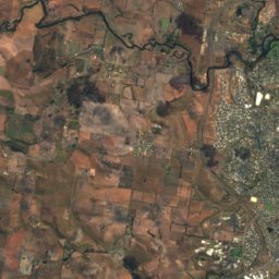
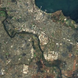
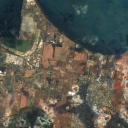
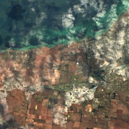
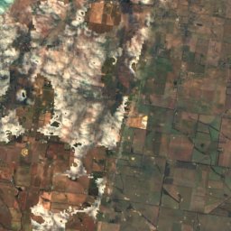
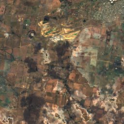
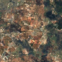
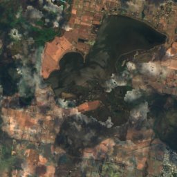
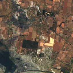
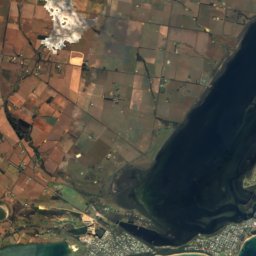
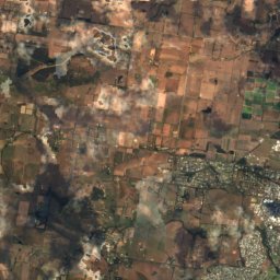
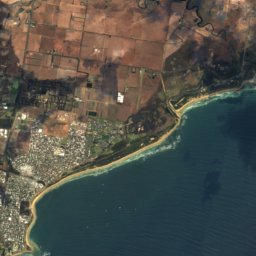
Satellite: Sentinel-2 cloudless 2016 by EOX IT Services GmbH · CC BY 4.0 · Contains modified Copernicus Sentinel data 2016
Ocean Grove
Victoria · 7.1 km NE
15°Oct high
14wet days
50score
Around here
Barwon Heads and around
Photo: Earth Science and Remote Sensing Unit, Lyndon B. Johnson Space Center · Public domain · Wikimedia CommonsReport this photo · linked, not stored
Barwon Heads
Victoria · Australia
Feb–Mar · Decbest months
13°July high
4 maltitude
Nature

Mountains

Heritage

Satellite: Sentinel-2 cloudless 2016 by EOX IT Services GmbH · CC BY 4.0 · Contains modified Copernicus Sentinel data 2016
Barwon Heads Bridge
listed on the Victorian Heritage Register · 2010


Satellite: Sentinel-2 cloudless 2016 by EOX IT Services GmbH · CC BY 4.0 · Contains modified Copernicus Sentinel data 2016
Murtnaghurt Lagoon
Ramsar site


St George the Martyr church
listed on the Victorian Heritage Register · 1863