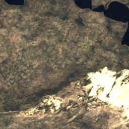
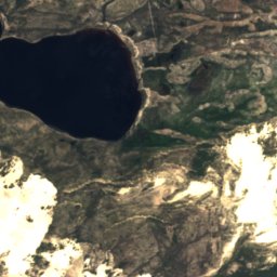
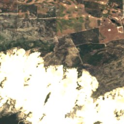
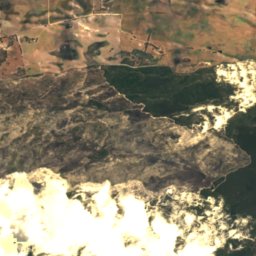
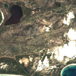
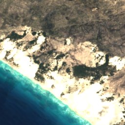
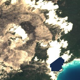
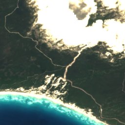
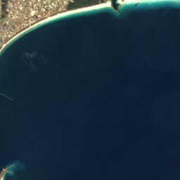
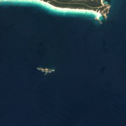
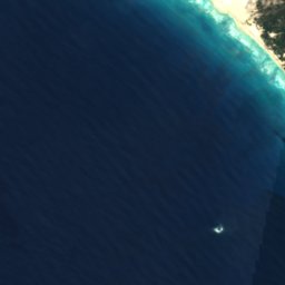
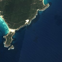
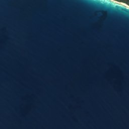
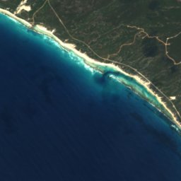
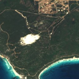
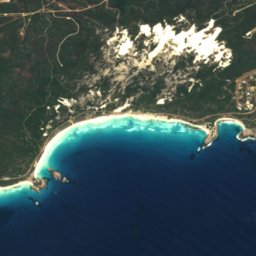
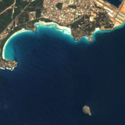



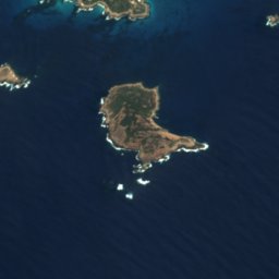
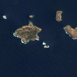
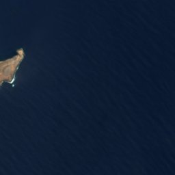
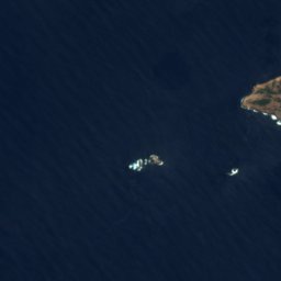








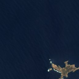
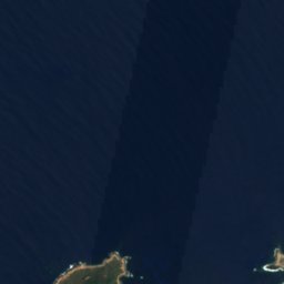
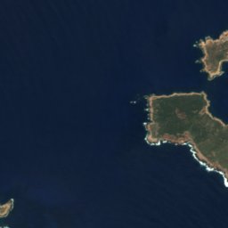
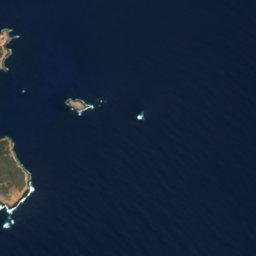



Satellite: Sentinel-2 cloudless 2016 by EOX IT Services GmbH · CC BY 4.0 · Contains modified Copernicus Sentinel data 2016

Photo: Calistemon · CC BY-SA 4.0 · Wikimedia Commons
Observatory IslandReport this photo · linked, not stored
Observatory IslandObservatory IslandReport this photo · linked, not stored

Photo: Calistemon · CC BY-SA 4.0 · Wikimedia Commons
Charley IslandReport this photo · linked, not stored
Charley IslandCharley IslandReport this photo · linked, not stored

Photo: Calistemon · CC BY-SA 4.0 · Wikimedia Commons
Picnic Cove BeachReport this photo · linked, not stored
Picnic Cove BeachPicnic Cove BeachReport this photo · linked, not stored

Photo: Calistemon · CC BY-SA 4.0 · Wikimedia Commons
Twilight BeachReport this photo · linked, not stored
Twilight BeachTwilight BeachReport this photo · linked, not stored
IslandSinclair, Western Australia
Sunday Patch
IslandBest Jan–Feb · Dec
Elevation–above sea level
Area–surface
Nearest townSinclair8.5 km
33.93° S, 121.83° EUTC+8 · Australian Western Standard Time
When to goSinclair · weather score
Best timeJan–Feb · Dec
October: high / low18° / 13°
Island
Sunday Patch in brief
Sunday Patch is an island in Sinclair, Western Australia, Australia.
The nearest town is Sinclair, 8.5 km to the NE, where the weather is best in January, February and December.
Weather nearby now
Forecast for Sinclair25°
Partly cloudy now
Today
31 Oct
24°
12°
1 mm
Sun
1 Nov
20°
14°
1 mm
Mon
2 Nov
21°
13°
Tue
3 Nov
19°
14°
1 mm
Wed
4 Nov
20°
14°
Model run 12:00 UTCRefreshed several times a day
When to go
Climate of SinclairThe best months around Sunday Patch
Month score in Sinclair
Comfort, dry days and sunshine · out of 10096
Jan
93
Feb
89
Mar
84
Apr
81
May
63
Jun
58
Jul
62
Aug
77
Sep
81
Oct
84
Nov
98
Dec
Map
Sunday Patch from above
Nature nearbyAll of Australia


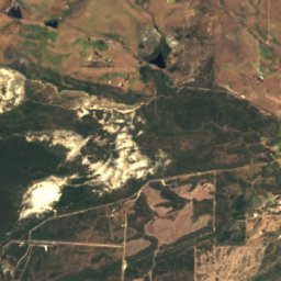
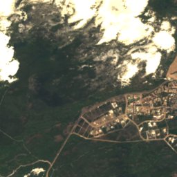
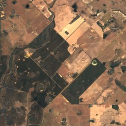
Satellite: Sentinel-2 cloudless 2016 by EOX IT Services GmbH · CC BY 4.0 · Contains modified Copernicus Sentinel data 2016

Stay nearby
Towns close by


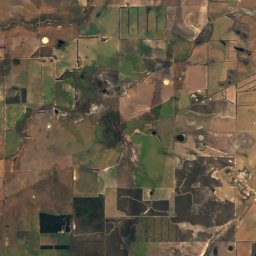
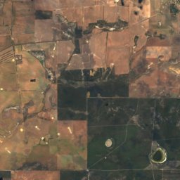
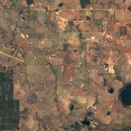
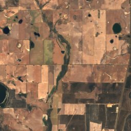
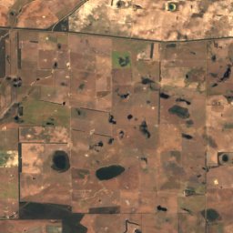
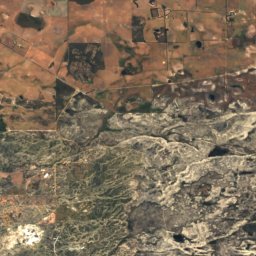
Around here
Sinclair and around
Nature
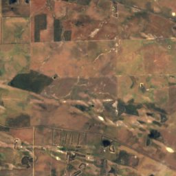
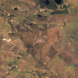
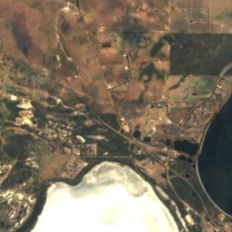
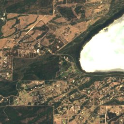
Satellite: Sentinel-2 cloudless 2016 by EOX IT Services GmbH · CC BY 4.0 · Contains modified Copernicus Sentinel data 2016
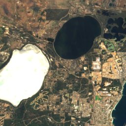
Lake Warden
Lake · 5 m
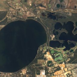
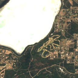
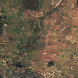
Satellite: Sentinel-2 cloudless 2016 by EOX IT Services GmbH · CC BY 4.0 · Contains modified Copernicus Sentinel data 2016
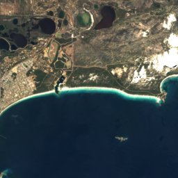
Pink Lake, Western Australia
Lake · 1 m
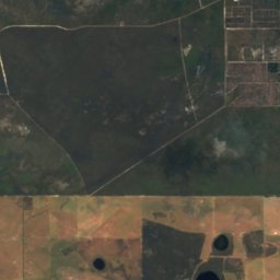
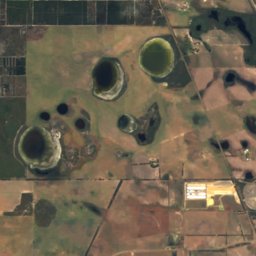
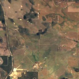
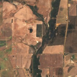
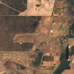
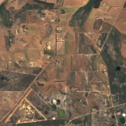
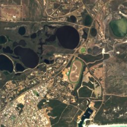
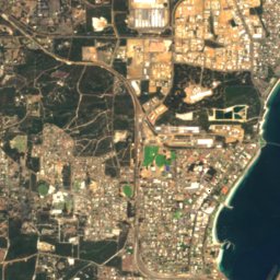
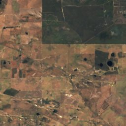
Satellite: Sentinel-2 cloudless 2016 by EOX IT Services GmbH · CC BY 4.0 · Contains modified Copernicus Sentinel data 2016
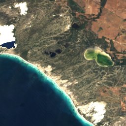
Woody Lake
Lake · 6 m
Heritage


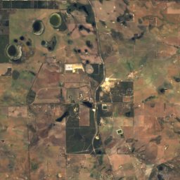
Satellite: Sentinel-2 cloudless 2016 by EOX IT Services GmbH · CC BY 4.0 · Contains modified Copernicus Sentinel data 2016
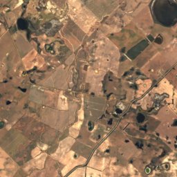
Lake Warden
Ramsar site · 1990


