

Photo: Peripitus · CC BY-SA 4.0 · Wikimedia Commons
Patawalonga RiverReport this photo · linked, not stored
Patawalonga RiverPatawalonga RiverReport this photo · linked, not stored

Photo: User:Chuq · Public domain · Wikimedia Commons
River TorrensReport this photo · linked, not stored
River TorrensRiver TorrensReport this photo · linked, not stored
RiverAdelaide, South Australia
Sturt River
RiverBest Feb–Mar · Dec
Elevation–above sea level
Area–surface
Nearest townAdelaide8.4 km
34.96° S, 138.52° EUTC+10:30 · Australian Central Daylight Time
When to goAdelaide · weather score
Best timeFeb–Mar · Dec
October: high / low19° / 12°
River
Sturt River in brief
Sturt River is a river in Adelaide, South Australia, Australia.
The nearest town in the atlas is Adelaide, 8.4 km to the NE, where the weather is best in February, March and December.
Weather nearby now
Forecast for Adelaide22°
Cloudy now
Today
23 Oct
23°
17°
Sat
24 Oct
21°
14°
4 mm
Sun
25 Oct
15°
12°
7 mm
Mon
26 Oct
15°
10°
1 mm
Tue
27 Oct
17°
11°
Model run 00:00 UTCRefreshed several times a day
Map
Sturt River from above
Nature nearbyAll of Australia


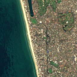
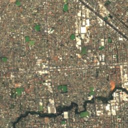
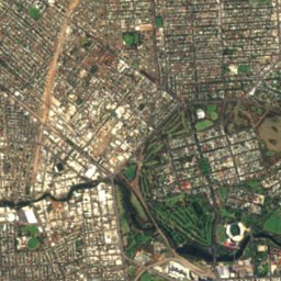

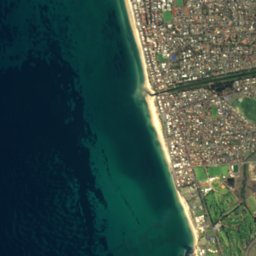
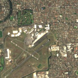
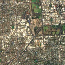


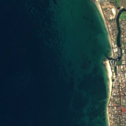
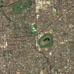
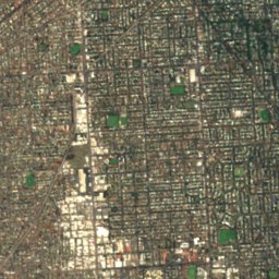
Satellite: Sentinel-2 cloudless 2016 by EOX IT Services GmbH · CC BY 4.0 · Contains modified Copernicus Sentinel data 2016



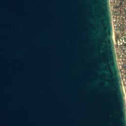
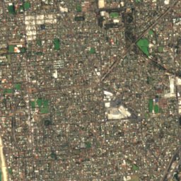
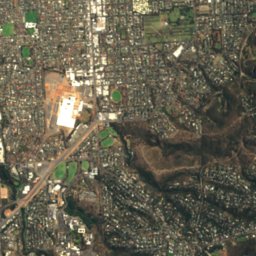
Satellite: Sentinel-2 cloudless 2016 by EOX IT Services GmbH · CC BY 4.0 · Contains modified Copernicus Sentinel data 2016


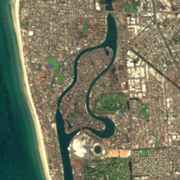
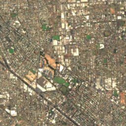
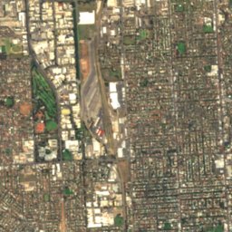
Satellite: Sentinel-2 cloudless 2016 by EOX IT Services GmbH · CC BY 4.0 · Contains modified Copernicus Sentinel data 2016
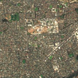
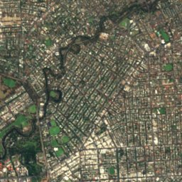
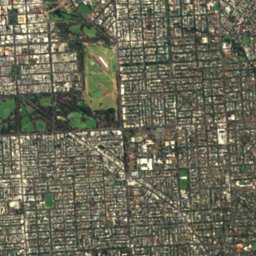
Satellite: Sentinel-2 cloudless 2016 by EOX IT Services GmbH · CC BY 4.0 · Contains modified Copernicus Sentinel data 2016
Summits nearbyMountains of Australia
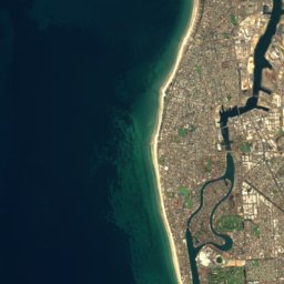
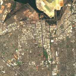
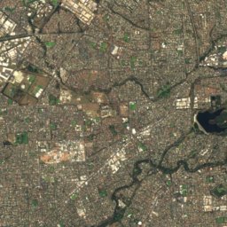
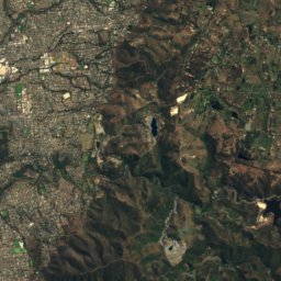
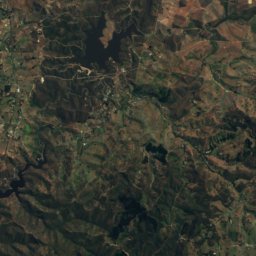
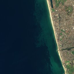
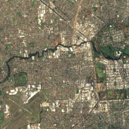
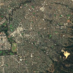
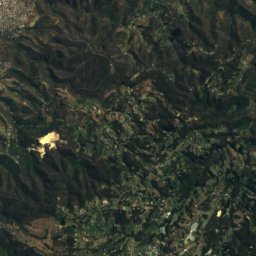
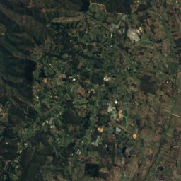
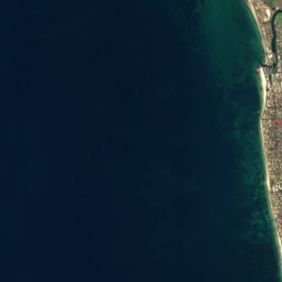
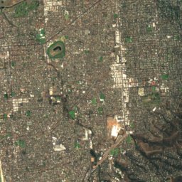
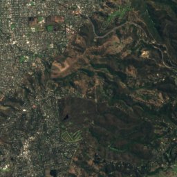
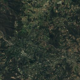
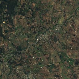
Satellite: Sentinel-2 cloudless 2016 by EOX IT Services GmbH · CC BY 4.0 · Contains modified Copernicus Sentinel data 2016
Satellite: Sentinel-2 cloudless 2016 by EOX IT Services GmbH · CC BY 4.0 · Contains modified Copernicus Sentinel data 2016



Satellite: Sentinel-2 cloudless 2016 by EOX IT Services GmbH · CC BY 4.0 · Contains modified Copernicus Sentinel data 2016
Stay nearby
Towns close by

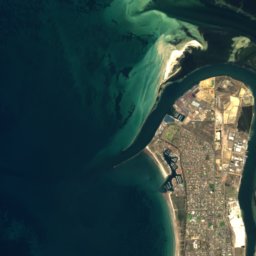
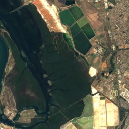
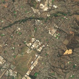
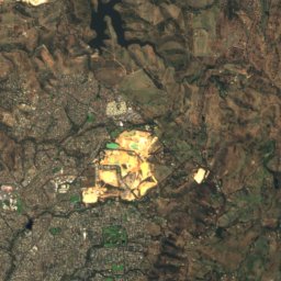
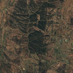
Satellite: Sentinel-2 cloudless 2016 by EOX IT Services GmbH · CC BY 4.0 · Contains modified Copernicus Sentinel data 2016
Adelaide Hills
South Australia · 18 km E
18°Oct high
5wet days
88score

Satellite: Sentinel-2 cloudless 2016 by EOX IT Services GmbH · CC BY 4.0 · Contains modified Copernicus Sentinel data 2016
Norton Summit
South Australia · 20 km E
18°Oct high
5wet days
87score
Around here
Adelaide and around
Nature


Mountains
Satellite: Sentinel-2 cloudless 2016 by EOX IT Services GmbH · CC BY 4.0 · Contains modified Copernicus Sentinel data 2016
Mount Lofty
727 m · Mount Lofty Ranges
Satellite: Sentinel-2 cloudless 2016 by EOX IT Services GmbH · CC BY 4.0 · Contains modified Copernicus Sentinel data 2016
Mount Bonython
677 m
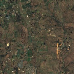
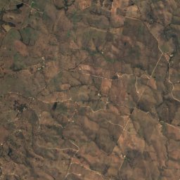
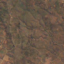
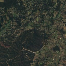
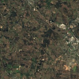
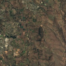
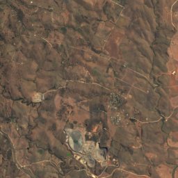
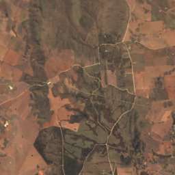
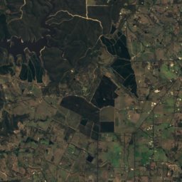
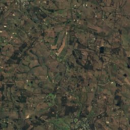
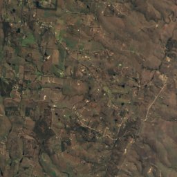
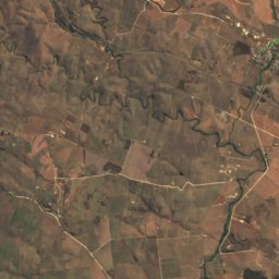
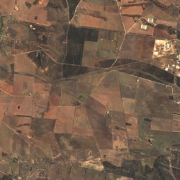
Satellite: Sentinel-2 cloudless 2016 by EOX IT Services GmbH · CC BY 4.0 · Contains modified Copernicus Sentinel data 2016
Mount Barker
517 m · Mount Lofty Ranges
Heritage

Photo: Mike Lehmann, Mike Switzerland 09:46, 28 February 2007 (UTC) · CC BY-SA 3.0 · Wikimedia CommonsReport this photo · linked, not stored
St Peter's Cathedral
listed on the South Australian Heritage Register · 1869

Parliament House of South Australia
listed on the Australian National Heritage List · 1874

Government House, Adelaide
listed on the South Australian Heritage Register · 1839
Museums


Adelaide Holocaust Museum and Andrew Steiner Education Centre
Jewish museum · 2020