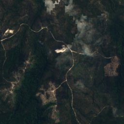
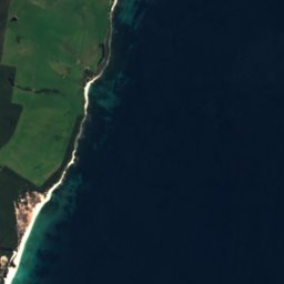







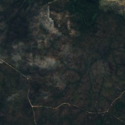
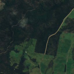
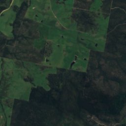
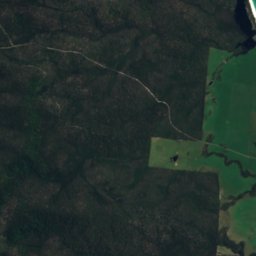
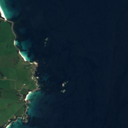



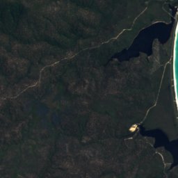
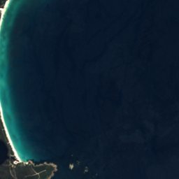



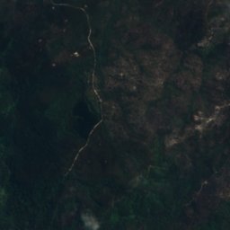
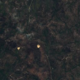
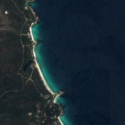



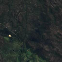
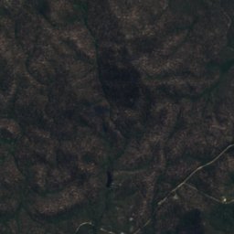
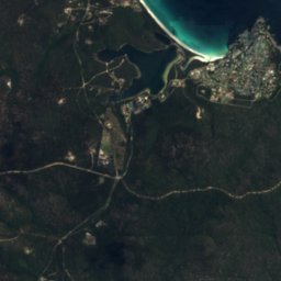
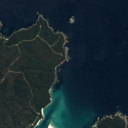


Satellite: Sentinel-2 cloudless 2016 by EOX IT Services GmbH · CC BY 4.0 · Contains modified Copernicus Sentinel data 2016

Photo: Jay Ryan · CC BY-SA 4.0 · Wikimedia Commons
Old Man RocksReport this photo · linked, not stored
Old Man RocksOld Man RocksReport this photo · linked, not stored

Photo: Roxanne Desgagnés roxannedesgagnes · CC0 · Wikimedia Commons
Jeanneret BeachReport this photo · linked, not stored
Jeanneret BeachJeanneret BeachReport this photo · linked, not stored

Photo: Jason Hollinger · CC BY 2.0 · Wikimedia Commons
Taylors Beach, TasmaniaReport this photo · linked, not stored
Taylors Beach, TasmaniaTaylors Beach, TasmaniaReport this photo · linked, not stored
IslandStieglitz, Tasmania
Sloop Reef
IslandBest Jan–Mar
Elevation–above sea level
Area–surface
Nearest townStieglitz13 km
41.21° S, 148.29° EUTC+11 · Australian Eastern Daylight Time
When to goStieglitz · weather score
Best timeJan–Mar
October: high / low14° / 11°
Island
Sloop Reef in brief
Sloop Reef is an island in Stieglitz, Tasmania, Australia.
The nearest town is Stieglitz, 13 km to the S, where the weather is best in January, February and March.
Weather nearby now
Forecast for Stieglitz10°
Clear now
Today
30 Oct
23°
10°
Sat
31 Oct
19°
11°
5 mm
Sun
1 Nov
18°
10°
Mon
2 Nov
20°
8°
Tue
3 Nov
19°
10°
Model run 00:00 UTCRefreshed several times a day
When to go
Climate of StieglitzThe best months around Sloop Reef
Month score in Stieglitz
Comfort, dry days and sunshine · out of 10083
Jan
80
Feb
81
Mar
71
Apr
58
May
45
Jun
44
Jul
47
Aug
52
Sep
52
Oct
62
Nov
70
Dec
Map
Sloop Reef from above
Nature nearbyAll of Australia


Photo: Roxanne Desgagnés roxannedesgagnes · CC0 · Wikimedia CommonsReport this photo · linked, not stored
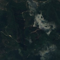
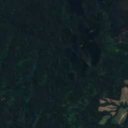
Satellite: Sentinel-2 cloudless 2016 by EOX IT Services GmbH · CC BY 4.0 · Contains modified Copernicus Sentinel data 2016
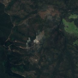
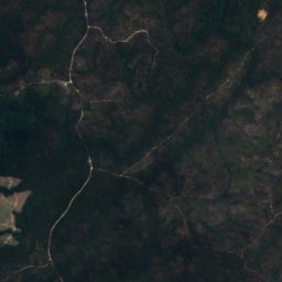
Satellite: Sentinel-2 cloudless 2016 by EOX IT Services GmbH · CC BY 4.0 · Contains modified Copernicus Sentinel data 2016
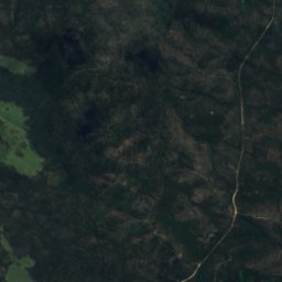
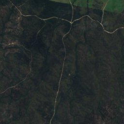
Satellite: Sentinel-2 cloudless 2016 by EOX IT Services GmbH · CC BY 4.0 · Contains modified Copernicus Sentinel data 2016
Stay nearby
Towns close by
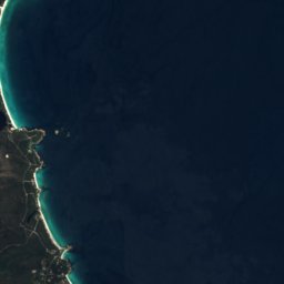

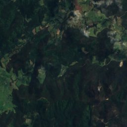
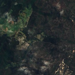
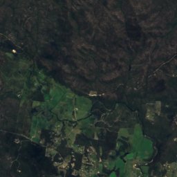
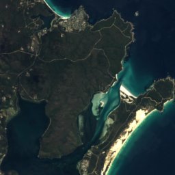

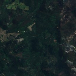
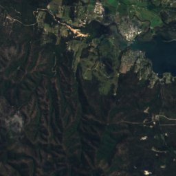
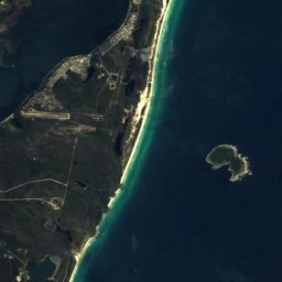

Satellite: Sentinel-2 cloudless 2016 by EOX IT Services GmbH · CC BY 4.0 · Contains modified Copernicus Sentinel data 2016
Stieglitz
Tasmania · 13 km S
14°Oct high
11wet days
52score

Photo: The original uploader was Aaroncrick at English Wikipedia. · CC BY-SA 3.0 · Wikimedia CommonsReport this photo · linked, not stored
St Helens
Tasmania · 13 km S
14°Oct high
11wet days
53score


Around here
Stieglitz and around
Nature
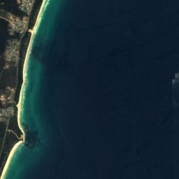
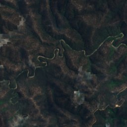
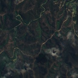
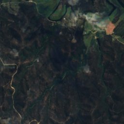
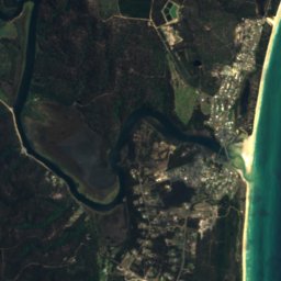
Satellite: Sentinel-2 cloudless 2016 by EOX IT Services GmbH · CC BY 4.0 · Contains modified Copernicus Sentinel data 2016
Scamander River
River



Satellite: Sentinel-2 cloudless 2016 by EOX IT Services GmbH · CC BY 4.0 · Contains modified Copernicus Sentinel data 2016
Henderson Lagoon
Lake

Mountains
Satellite: Sentinel-2 cloudless 2016 by EOX IT Services GmbH · CC BY 4.0 · Contains modified Copernicus Sentinel data 2016
Mount Victoria
1,207 m · Ben Lomond
Heritage





Satellite: Sentinel-2 cloudless 2016 by EOX IT Services GmbH · CC BY 4.0 · Contains modified Copernicus Sentinel data 2016
Jocks Lagoon
Ramsar site · 1982