Photo: simone.brunozzi · CC BY-SA 2.0 · Wikimedia Commons
Tamborine MountainReport this photo · linked, not stored
Tamborine MountainTamborine MountainReport this photo · linked, not stored
RiverCoomera, Queensland
Pimpama River
RiverBest Jun · Aug–Sep
Elevation–above sea level
Area–surface
Nearest townCoomera6.7 km
27.82° S, 153.40° EUTC+10 · Australian Eastern Standard Time
When to goCoomera · weather score
Best timeJun · Aug–Sep
October: high / low23° / 18°
River
Pimpama River in brief
Pimpama River is a river in Coomera, Queensland, Australia.
The nearest town in the atlas is Coomera, 6.7 km to the SW, where the weather is best in June, August and September.
Weather nearby now
Forecast for Coomera18°
Rain now
Today
23 Oct
22°
18°
14 mm
Sat
24 Oct
22°
19°
22 mm
Sun
25 Oct
23°
20°
18 mm
Mon
26 Oct
30°
21°
1 mm
Tue
27 Oct
26°
19°
1 mm
Model run 00:00 UTCRefreshed several times a day
The course of the river
As mapped in OpenStreetMap, with the towns of the atlas along its banks.sourcemouth (or where the mapped line leaves the country)
When to go
Climate of CoomeraThe best months around Pimpama River
Month score in Coomera
Comfort, dry days and sunshine · out of 10061
Jan
62
Feb
67
Mar
71
Apr
68
May
86
Jun
83
Jul
87
Aug
88
Sep
76
Oct
70
Nov
63
Dec
Map
Pimpama River from above
Nature nearbyAll of Australia
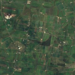
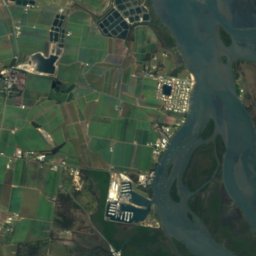
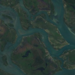
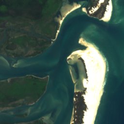

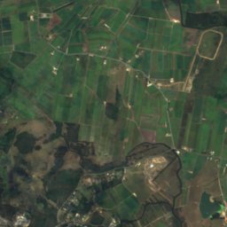
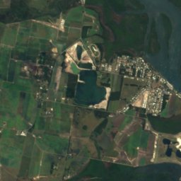
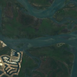
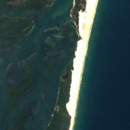

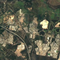
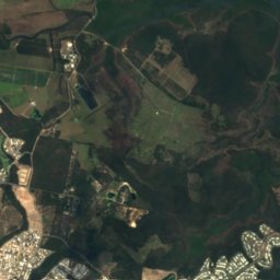
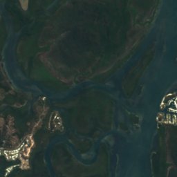
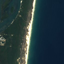

Satellite: Sentinel-2 cloudless 2016 by EOX IT Services GmbH · CC BY 4.0 · Contains modified Copernicus Sentinel data 2016
Satellite: Sentinel-2 cloudless 2016 by EOX IT Services GmbH · CC BY 4.0 · Contains modified Copernicus Sentinel data 2016
Satellite: Sentinel-2 cloudless 2016 by EOX IT Services GmbH · CC BY 4.0 · Contains modified Copernicus Sentinel data 2016
Satellite: Sentinel-2 cloudless 2016 by EOX IT Services GmbH · CC BY 4.0 · Contains modified Copernicus Sentinel data 2016
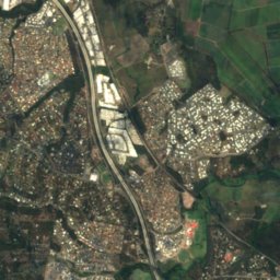
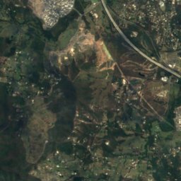
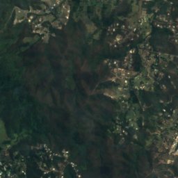
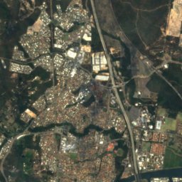
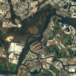
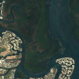
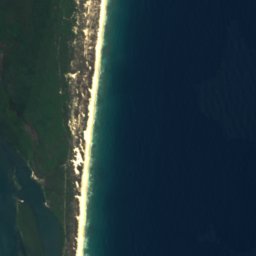
Satellite: Sentinel-2 cloudless 2016 by EOX IT Services GmbH · CC BY 4.0 · Contains modified Copernicus Sentinel data 2016
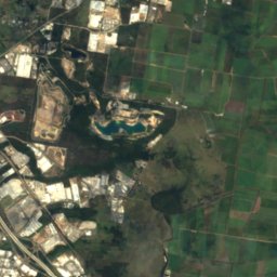
Satellite: Sentinel-2 cloudless 2016 by EOX IT Services GmbH · CC BY 4.0 · Contains modified Copernicus Sentinel data 2016
Summits nearbyMountains of Australia

Stay nearby
Towns close by


Photo: E-CBD at English Wikipedia · CC BY-SA 3.0 · Wikimedia CommonsReport this photo · linked, not stored
Gold Coast
Queensland · 21 km S
22°Oct high
10wet days
76score


Around here
Coomera and around
Nature

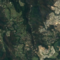
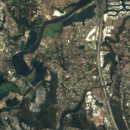
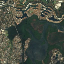
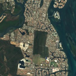
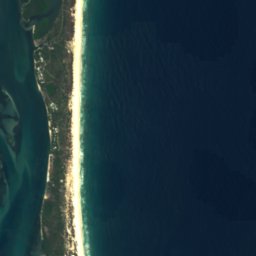
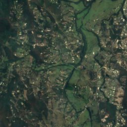
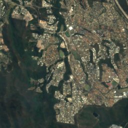
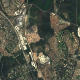
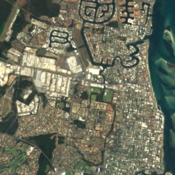
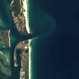
Satellite: Sentinel-2 cloudless 2016 by EOX IT Services GmbH · CC BY 4.0 · Contains modified Copernicus Sentinel data 2016
Coombabah Lake
Lake · 1 m
Satellite: Sentinel-2 cloudless 2016 by EOX IT Services GmbH · CC BY 4.0 · Contains modified Copernicus Sentinel data 2016
Saltwater Creek (Gold Coast)
River
Mountains


Heritage



Satellite: Sentinel-2 cloudless 2016 by EOX IT Services GmbH · CC BY 4.0 · Contains modified Copernicus Sentinel data 2016
Laurel Hill Farmhouse
listed on the Queensland Heritage Register

Pimpama & Ormeau War Memorial
listed on the Queensland Heritage Register