
Photo: JJ Harrison (https://www.jjharrison.com.au/) · CC BY-SA 3.0 · Wikimedia Commons
Nelson FallsReport this photo · linked, not stored
Nelson FallsReport this photo · linked, not stored

Photo: WikiWookie · CC BY-SA 3.0 · Wikimedia Commons
Lake Burbury, TasmaniaReport this photo · linked, not stored
Lake Burbury, TasmaniaLake Burbury, TasmaniaReport this photo · linked, not stored

Photo: Photographs by JarrahTree...commons.wikimedia.org · CC BY 2.5 au · Wikimedia Commons
Lake Burbury, TasmaniaReport this photo · linked, not stored
Lake Burbury, TasmaniaLake Burbury, TasmaniaReport this photo · linked, not stored

Photo: User:Bourgeois · CC BY-SA 3.0 · Wikimedia Commons
Frenchmans CapReport this photo · linked, not stored
Frenchmans CapFrenchmans CapReport this photo · linked, not stored

Photo: M J. Rutherford · CC BY-SA 4.0 · Wikimedia Commons
Mount MurchisonReport this photo · linked, not stored
Mount MurchisonMount MurchisonReport this photo · linked, not stored
WaterfallQueenstown, Tasmania
Nelson Falls
WaterfallBest Jan–Mar
Elevation–above sea level
Height–of the falls
Nearest townQueenstown14 km
42.09° S, 145.73° EUTC+11 · Australian Eastern Daylight Time
When to goQueenstown · weather score
Best timeJan–Mar
October: high / low14° / 7°
Waterfall
Nelson Falls in brief
Nelson Falls is a waterfall in Queenstown, Tasmania, Australia.
The nearest town in the atlas is Queenstown, 14 km to the W, where the weather is best in January, February and March.
Weather nearby now
Forecast for Queenstown17°
Partly cloudy now
Today
23 Oct
25°
14°
6 mm
Sat
24 Oct
17°
10°
2 mm
Sun
25 Oct
10°
6°
16 mm
Mon
26 Oct
10°
4°
10 mm
Tue
27 Oct
11°
5°
11 mm
Model run 00:00 UTCRefreshed several times a day
When to go
Climate of QueenstownThe best months around Nelson Falls
Month score in Queenstown
Comfort, dry days and sunshine · out of 10064
Jan
66
Feb
58
Mar
43
Apr
29
May
20
Jun
18
Jul
20
Aug
27
Sep
36
Oct
49
Nov
57
Dec
Map
Nelson Falls from above
Nature nearbyAll of Australia
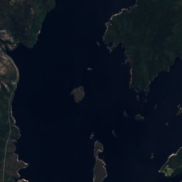
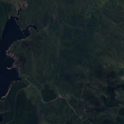
Satellite: Sentinel-2 cloudless 2016 by EOX IT Services GmbH · CC BY 4.0 · Contains modified Copernicus Sentinel data 2016
Satellite: Sentinel-2 cloudless 2016 by EOX IT Services GmbH · CC BY 4.0 · Contains modified Copernicus Sentinel data 2016


Photo: Photographs by JarrahTree...commons.wikimedia.org · CC BY 2.5 au · Wikimedia CommonsReport this photo · linked, not stored
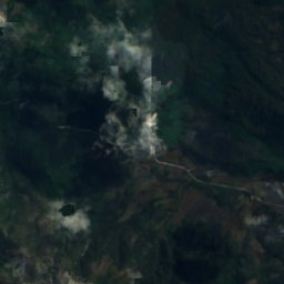
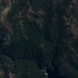
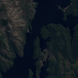
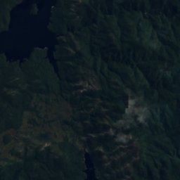
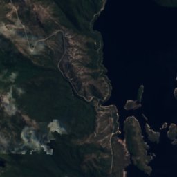
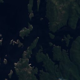
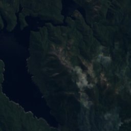
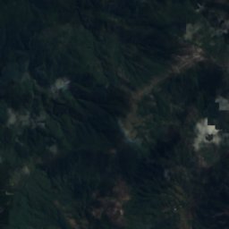
Satellite: Sentinel-2 cloudless 2016 by EOX IT Services GmbH · CC BY 4.0 · Contains modified Copernicus Sentinel data 2016
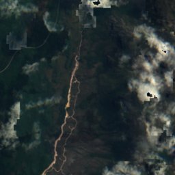
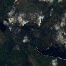
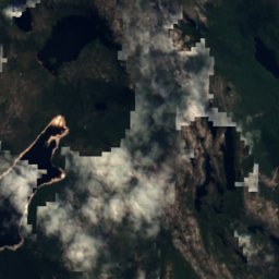
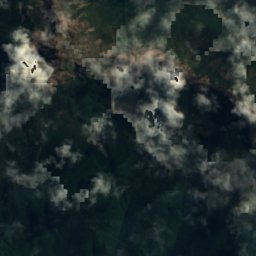
Satellite: Sentinel-2 cloudless 2016 by EOX IT Services GmbH · CC BY 4.0 · Contains modified Copernicus Sentinel data 2016
Summits nearbyMountains of Australia
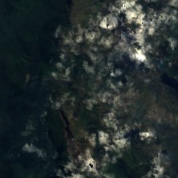
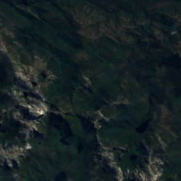
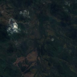
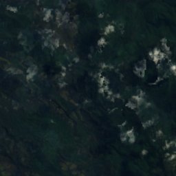
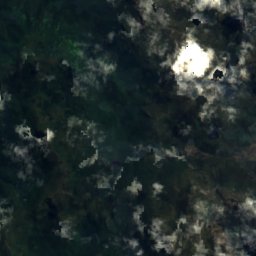
Satellite: Sentinel-2 cloudless 2016 by EOX IT Services GmbH · CC BY 4.0 · Contains modified Copernicus Sentinel data 2016


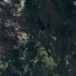
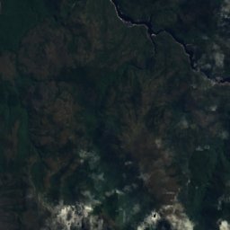
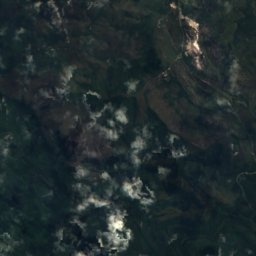
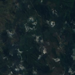
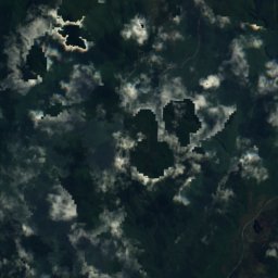
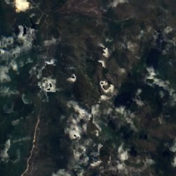
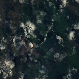
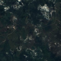
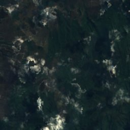
Satellite: Sentinel-2 cloudless 2016 by EOX IT Services GmbH · CC BY 4.0 · Contains modified Copernicus Sentinel data 2016
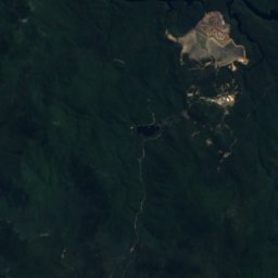
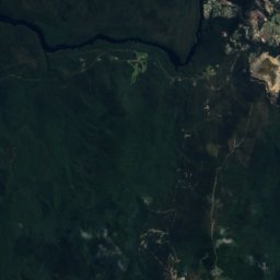
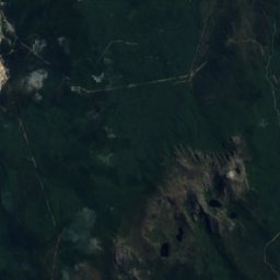
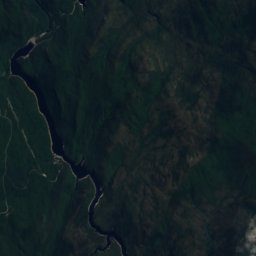
Satellite: Sentinel-2 cloudless 2016 by EOX IT Services GmbH · CC BY 4.0 · Contains modified Copernicus Sentinel data 2016

Photo: Photographs by JarrahTree...commons.wikimedia.org · CC BY 2.5 au · Wikimedia CommonsReport this photo · linked, not stored
Stay nearby
Towns close by

Photo: Gas Panic42 at en.wikipedia · CC BY-SA 3.0 · Wikimedia CommonsReport this photo · linked, not stored
Queenstown
Tasmania · 14 km W
14°Oct high
20wet days
36score

Around here
Queenstown and around
Photo: Gas Panic42 at en.wikipedia · CC BY-SA 3.0 · Wikimedia CommonsReport this photo · linked, not stored
Queenstown
Tasmania · Australia
Jan–Marbest months
10°July high
148 maltitude
Nature
Photo: Photographs by JarrahTree...commons.wikimedia.org · CC BY 2.5 au · Wikimedia CommonsReport this photo · linked, not stored
Lake Burbury, Tasmania
Lake · 235 m


Photo: Photographs by JarrahTree...commons.wikimedia.org · CC BY 2.5 au · Wikimedia CommonsReport this photo · linked, not stored
Lake Beatrice
Lake · 746 m
Mountains
Satellite: Sentinel-2 cloudless 2016 by EOX IT Services GmbH · CC BY 4.0 · Contains modified Copernicus Sentinel data 2016
Castle Crag
1,482 m · Du Cane Range
Heritage

Empire Hotel, Queenstown
listed on the Tasmanian Heritage Register · 1901

Museums

Photo: Photographs by JarrahTree...commons.wikimedia.org · CC BY 2.5 au · Wikimedia CommonsReport this photo · linked, not stored
Galley Museum
1897


