
Photo: Frances76 at the English-language Wikipedia · CC BY-SA 3.0 · Wikimedia Commons
Johnstone RiverReport this photo · linked, not stored
Johnstone RiverReport this photo · linked, not stored

Photo: Mrpalermo · CC BY-SA 4.0 · Wikimedia Commons
Ella Bay National ParkReport this photo · linked, not stored
Ella Bay National ParkElla Bay National ParkReport this photo · linked, not stored
RiverInnisfail Estate, Queensland
Johnstone River
RiverBest Aug–Oct
Elevation–above sea level
Area–surface
Nearest townInnisfail Estate2.3 km
17.51° S, 146.06° EUTC+10 · Australian Eastern Standard Time
When to goInnisfail Estate · weather score
Best timeAug–Oct
October: high / low27° / 21°
River
Johnstone River in brief
Johnstone River is a river in Innisfail Estate, Queensland, Australia.
The nearest town in the atlas is Innisfail Estate, 2.3 km to the SW, where the weather is best in August, September and October.
Weather nearby now
Forecast for Innisfail Estate22°
Cloudy now
Today
23 Oct
28°
22°
3 mm
Sat
24 Oct
28°
22°
5 mm
Sun
25 Oct
29°
21°
Mon
26 Oct
30°
21°
Tue
27 Oct
30°
23°
1 mm
Model run 00:00 UTCRefreshed several times a day
When to go
Climate of Innisfail EstateThe best months around Johnstone River
Month score in Innisfail Estate
Comfort, dry days and sunshine · out of 10042
Jan
41
Feb
48
Mar
57
Apr
64
May
79
Jun
78
Jul
84
Aug
84
Sep
81
Oct
68
Nov
46
Dec
Map
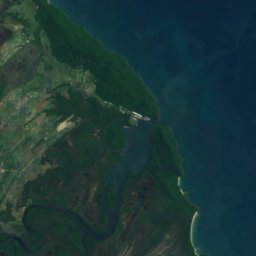
Johnstone River from above
Nature nearbyAll of Australia
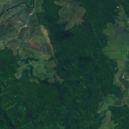
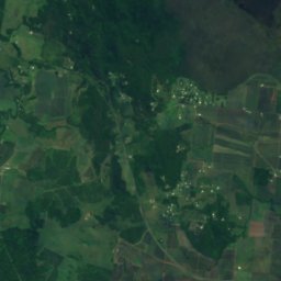
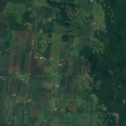
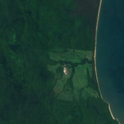

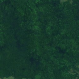
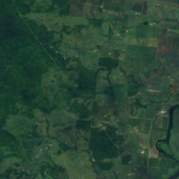
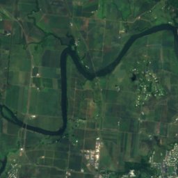
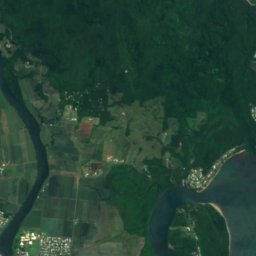
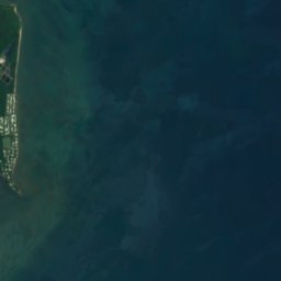
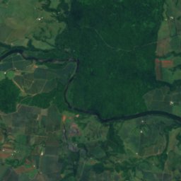
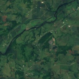
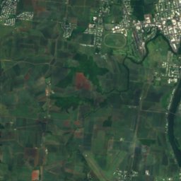
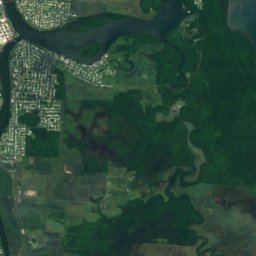
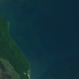
Satellite: Sentinel-2 cloudless 2016 by EOX IT Services GmbH · CC BY 4.0 · Contains modified Copernicus Sentinel data 2016



Satellite: Sentinel-2 cloudless 2016 by EOX IT Services GmbH · CC BY 4.0 · Contains modified Copernicus Sentinel data 2016
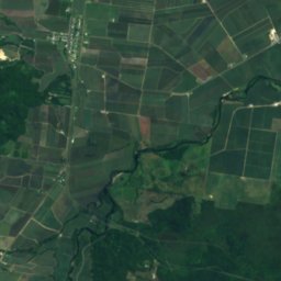
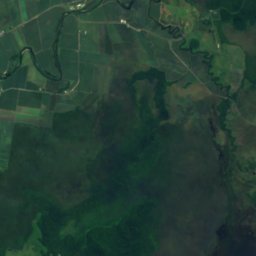
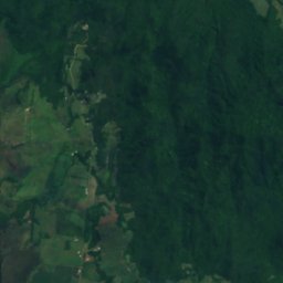
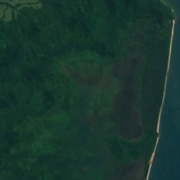

Satellite: Sentinel-2 cloudless 2016 by EOX IT Services GmbH · CC BY 4.0 · Contains modified Copernicus Sentinel data 2016
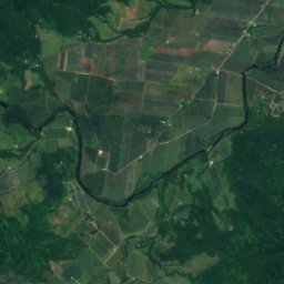
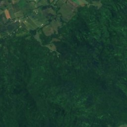
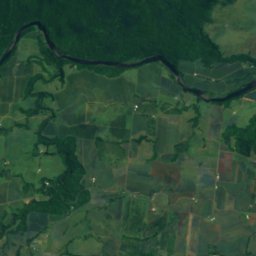
Satellite: Sentinel-2 cloudless 2016 by EOX IT Services GmbH · CC BY 4.0 · Contains modified Copernicus Sentinel data 2016
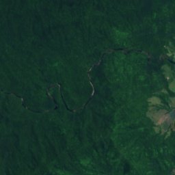
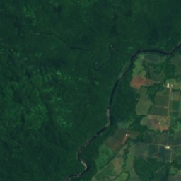
Satellite: Sentinel-2 cloudless 2016 by EOX IT Services GmbH · CC BY 4.0 · Contains modified Copernicus Sentinel data 2016

Stay nearby
Towns close by
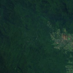
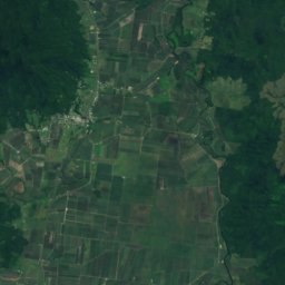
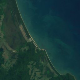


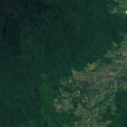
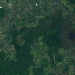
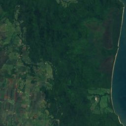


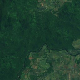
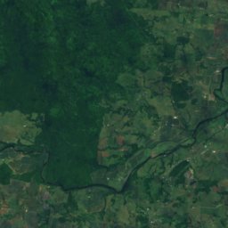
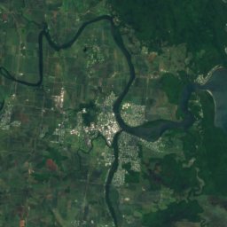


Satellite: Sentinel-2 cloudless 2016 by EOX IT Services GmbH · CC BY 4.0 · Contains modified Copernicus Sentinel data 2016
Innisfail Estate
Queensland · 2.3 km SW
27°Oct high
4wet days
81score
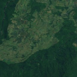
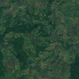
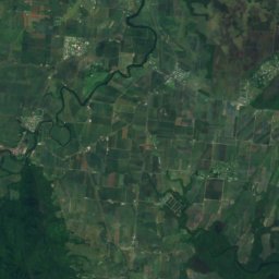

Satellite: Sentinel-2 cloudless 2016 by EOX IT Services GmbH · CC BY 4.0 · Contains modified Copernicus Sentinel data 2016
Webb
Queensland · 3.2 km SW
27°Oct high
4wet days
81score

Photo: The original uploader was Frances76 at English Wikipedia. · CC BY-SA 3.0 · Wikimedia CommonsReport this photo · linked, not stored
Innisfail
Queensland · 3.8 km SW
27°Oct high
4wet days
81score

Around here
Innisfail Estate and around
Satellite: Sentinel-2 cloudless 2016 by EOX IT Services GmbH · CC BY 4.0 · Contains modified Copernicus Sentinel data 2016
Innisfail Estate
Queensland · Australia
Aug–Octbest months
22°July high
5 maltitude
Nature
Satellite: Sentinel-2 cloudless 2016 by EOX IT Services GmbH · CC BY 4.0 · Contains modified Copernicus Sentinel data 2016
Moresby Range National Park
National park · 143 m

Mountains


Heritage

Photo: Frances76 at the English-language Wikipedia · CC BY-SA 3.0 · Wikimedia CommonsReport this photo · linked, not stored
Innisfail Courthouse
listed on the Queensland Heritage Register


Satellite: Sentinel-2 cloudless 2016 by EOX IT Services GmbH · CC BY 4.0 · Contains modified Copernicus Sentinel data 2016
Canecutters Memorial
listed on the Queensland Heritage Register
Satellite: Sentinel-2 cloudless 2016 by EOX IT Services GmbH · CC BY 4.0 · Contains modified Copernicus Sentinel data 2016
Innisfail Water Tower
listed on the Queensland Heritage Register