Skip to content
Destinations
Weather & climate
Nature
Outdoors
Culture
Events
Sky & live
Ithaca Creek
Photo: Robertwhyteus · CC BY-SA 3.0 · Wikimedia Commons
Ithaca CreekReport this photo · linked, not stored
Streets Beach
Photo: Kgbo · CC BY-SA 4.0 · Wikimedia Commons
Streets BeachReport this photo · linked, not stored
Streets Beach
Breakfast Creek, Queensland
Photo: Chris Olszewski · CC BY-SA 3.0 · Wikimedia Commons
Breakfast Creek, QueenslandReport this photo · linked, not stored
Breakfast Creek, Queensland
Kedron Brook
Photo: Q8682 · CC BY-SA 4.0 · Wikimedia Commons
Kedron BrookReport this photo · linked, not stored
Kedron Brook
Mount Petrie
Photo: User:Leejamieson · Public domain · Wikimedia Commons
Mount PetrieReport this photo · linked, not stored
Mount Petrie
RiverBrisbane, Queensland

Ithaca Creek

RiverBest Jun · Aug–Sep
Elevation–above sea level
Area–surface
Nearest townBrisbane3.6 km
27.45° S, 153.00° EUTC+10 · Australian Eastern Standard Time
When to goBrisbane · weather score
JanFebMarAprMayJunJulAugSepOctNovDec74October
Best timeJun · Aug–Sep
October: high / low25° / 16°
River

Ithaca Creek in brief

Ithaca Creek is a river in Brisbane, Queensland, Australia.

The nearest town in the atlas is Brisbane, 3.6 km to the SE, where the weather is best in June, August and September.

Brisbane: weather and travel guide

Weather nearby now

Forecast for Brisbane
18°
Rain now
Wind7 km/h
Humidity96%
Cloud cover100%
Today
23 Oct
23°
18°
24 mm
Sat
24 Oct
22°
19°
18 mm
Sun
25 Oct
25°
20°
15 mm
Mon
26 Oct
31°
21°
1 mm
Tue
27 Oct
28°
20°
1 mm

Model run 00:00 UTCRefreshed several times a day

When to go

The best months around Ithaca Creek

Climate of Brisbane

Month score in Brisbane

Comfort, dry days and sunshine · out of 100
Map

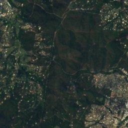
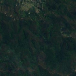
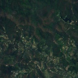
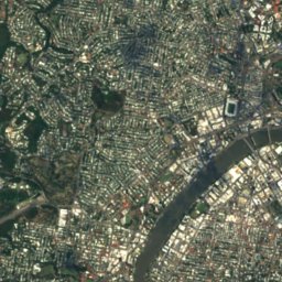
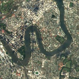
Ithaca Creek from above

Nature nearbyAll of Australia
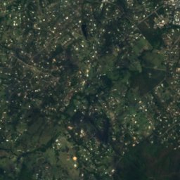
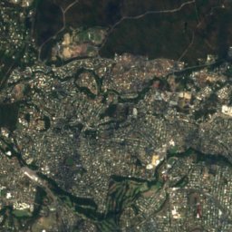
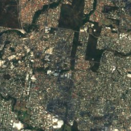
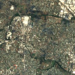
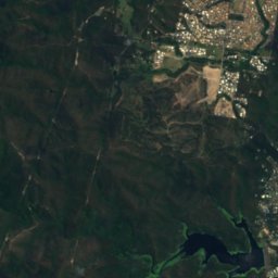
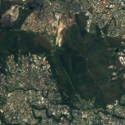
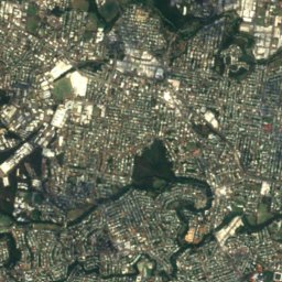
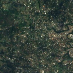
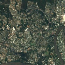
Satellite: Sentinel-2 cloudless 2016 by EOX IT Services GmbH · CC BY 4.0 · Contains modified Copernicus Sentinel data 2016
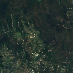
Enoggera CreekRiver1.6 kmNWEnoggera Creek
Photo: Kgbo · CC BY-SA 4.0 · Wikimedia CommonsReport this photo · linked, not stored
Streets BeachBeach4.0 kmSEStreets Beach
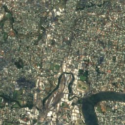
Satellite: Sentinel-2 cloudless 2016 by EOX IT Services GmbH · CC BY 4.0 · Contains modified Copernicus Sentinel data 2016
Simpson FallsWaterfall4.3 kmWSimpson Falls
Photo: Chris Olszewski · CC BY-SA 3.0 · Wikimedia CommonsReport this photo · linked, not stored
Breakfast Creek, QueenslandRiver4.3 kmEBreakfast Creek, Queensland
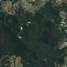
Satellite: Sentinel-2 cloudless 2016 by EOX IT Services GmbH · CC BY 4.0 · Contains modified Copernicus Sentinel data 2016
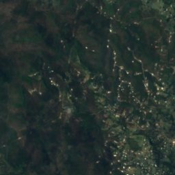
J C Slaughter FallsWaterfall4.5 kmSWJ C Slaughter Falls
Photo: Q8682 · CC BY-SA 4.0 · Wikimedia CommonsReport this photo · linked, not stored
Kedron BrookRiver4.6 kmNEKedron Brook
Photo: User:Leejamieson · Public domain · Wikimedia CommonsReport this photo · linked, not stored
Mount Petrie16 km SE170 mJuly 18°Mount Petrie
Stay nearby

Towns close by

Brisbane
Photo: Chris Olszewski · CC BY-SA 4.0 · Wikimedia CommonsReport this photo · linked, not stored

Brisbane

Queensland · 3.6 km SE
25°Oct high
10wet days
74score
Brisbane
Capalaba
Photo: Neegzistuoja · CC BY-SA 4.0 · Wikimedia CommonsReport this photo · linked, not stored

Capalaba

Queensland · 23 km SE
23°Oct high
10wet days
76score
Capalaba
Logan City
Photo: Shiftchange · CC0 · Wikimedia CommonsReport this photo · linked, not stored

Logan City

Queensland · 24 km SE
25°Oct high
10wet days
76score
Logan City
Samsonvale
Photo: Kerry Raymond · CC BY 4.0 · Wikimedia CommonsReport this photo · linked, not stored

Samsonvale

Queensland · 25 km NW
26°Oct high
10wet days
74score
Samsonvale
Around here

Brisbane and around

Brisbane
Photo: Chris Olszewski · CC BY-SA 4.0 · Wikimedia CommonsReport this photo · linked, not stored

Brisbane

Queensland · Australia
Jun · Aug–Sepbest months
20°July high
27 maltitude
Brisbane

Nature

Breakfast Creek, Queensland
Photo: Chris Olszewski · CC BY-SA 3.0 · Wikimedia CommonsReport this photo · linked, not stored
3.4 km N

Breakfast Creek, Queensland

River
Breakfast Creek, Queensland
Norman Creek
Photo: Neegzistuoja · CC BY-SA 4.0 · Wikimedia CommonsReport this photo · linked, not stored
2.9 km SE

Norman Creek

River
Norman Creek
Kedron Brook
Photo: Q8682 · CC BY-SA 4.0 · Wikimedia CommonsReport this photo · linked, not stored
5.8 km N

Kedron Brook

River
Kedron Brook

Mountains

Mount Petrie
Photo: User:Leejamieson · Public domain · Wikimedia CommonsReport this photo · linked, not stored
13 km SE

Mount Petrie

170 m
Mount Petrie

Heritage

Cathedral of St Stephen, Brisbane
Photo: Masalai at English Wikipedia · Public domain · Wikimedia CommonsReport this photo · linked, not stored
0.1 km SE

Cathedral of St Stephen, Brisbane

listed on the Queensland Heritage Register · 1922
Cathedral of St Stephen, Brisbane
St John's Cathedral
Photo: Masalai (talk) · Public domain · Wikimedia CommonsReport this photo · linked, not stored
0.5 km NE

St John's Cathedral

listed on the Queensland Heritage Register · 1901
St John's Cathedral
Old Government House, Brisbane
Photo: Chris Olszewski · CC BY-SA 3.0 · Wikimedia CommonsReport this photo · linked, not stored
1.0 km S

Old Government House, Brisbane

listed on the Queensland Heritage Register · 1862
Old Government House, Brisbane

Museums

Gallery of Modern Art
Photo: Phillip Capper · CC BY 2.0 · Wikimedia CommonsReport this photo · linked, not stored
1.1 km W

Gallery of Modern Art

Art museum · 2013
Gallery of Modern Art
Queensland Art Gallery
Photo: GordonMakryllos · CC BY-SA 4.0 · Wikimedia CommonsReport this photo · linked, not stored
1.1 km SW

Queensland Art Gallery

Art museum · 2013
Queensland Art Gallery
Queensland Maritime Museum
Photo: Vanbasten 23 · CC BY-SA 3.0 · Wikimedia CommonsReport this photo · linked, not stored
1.6 km S

Queensland Maritime Museum

Maritime museum · 1971
Queensland Maritime Museum