Skip to content
Destinations
Weather & climate
Nature
Outdoors
Culture
Events
Sky & live
Eastern Beach
Photo: Mattplaysthedrums · CC BY-SA 4.0 · Wikimedia Commons
Eastern BeachReport this photo · linked, not stored
Moorabool River
Photo: Mattinbgn · CC BY-SA 3.0 · Wikimedia Commons
Moorabool RiverReport this photo · linked, not stored
Moorabool River
Buckley Falls
Photo: Thom Devereux · CC BY-SA 4.0 · Wikimedia Commons
Buckley FallsReport this photo · linked, not stored
Buckley Falls
You Yangs
Photo: Marcus Wong Wongm · CC BY-SA 3.0 · Wikimedia Commons
You YangsReport this photo · linked, not stored
You Yangs
BeachGeelong, Victoria

Eastern Beach

Beach8 m elevationBest Feb–Apr
Elevation8 mabove sea level
Sea, warmest19°CFebruary
Nearest townGeelong1.1 km
38.15° S, 144.37° EElevation 8 mUTC+11 · Australian Eastern Daylight Time
When to goGeelong · weather score
JanFebMarAprMayJunJulAugSepOctNovDec62October
Best timeFeb–Apr
October: high / low17° / 11°
Beach

Eastern Beach in brief

Eastern Beach is a beach in Geelong, Victoria, Australia.

It lies at 8 m above sea level.

The nearest town in the atlas is Geelong, 1.1 km to the W, where the weather is best in February, March and April.

The sea is warmest in February, at about 19°C.

Geelong: weather and travel guide

Weather nearby now

Forecast for Geelong
19°
Clear now
Wind10 km/h
Humidity50%
Cloud cover0%
Today
23 Oct
30°
17°
1 mm
Sat
24 Oct
19°
15°
2 mm
Sun
25 Oct
14°
10°
23 mm
Mon
26 Oct
14°
7°
1 mm
Tue
27 Oct
15°
7°

Model run 00:00 UTCRefreshed several times a day

Sea and air through the year

Sea surface temperature off the coast and the average daily high in Geelong, month by month.
Jan18°22°
Feb19°23°
Mar19°21°
Apr17°19°
May16°16°
Jun14°14°
Jul13°13°
Aug13°14°
Sep13°15°
Oct14°17°
Nov15°19°
Dec17°21°
seaair, daily high
When to go

The best months around Eastern Beach

Climate of Geelong

Month score in Geelong

Comfort, dry days and sunshine · out of 100
Map

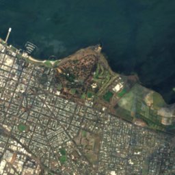
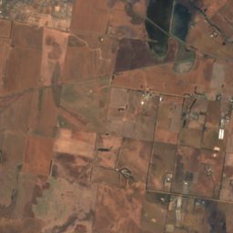
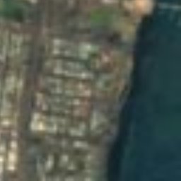
Eastern Beach from above

Nature nearbyAll of Australia
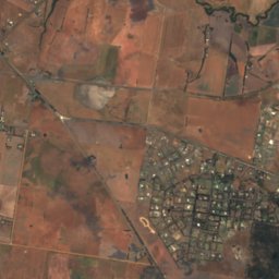
Satellite: Sentinel-2 cloudless 2016 by EOX IT Services GmbH · CC BY 4.0 · Contains modified Copernicus Sentinel data 2016
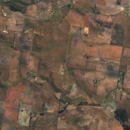
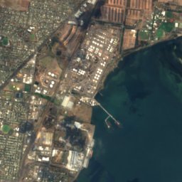
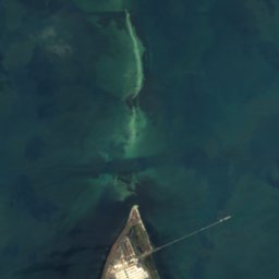
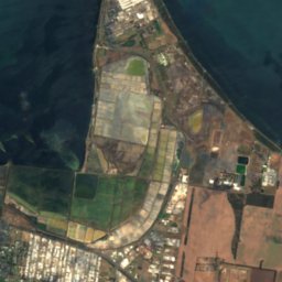
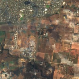
Western BeachBeach2.0 kmNWWestern Beach
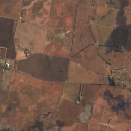
Satellite: Sentinel-2 cloudless 2016 by EOX IT Services GmbH · CC BY 4.0 · Contains modified Copernicus Sentinel data 2016
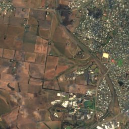
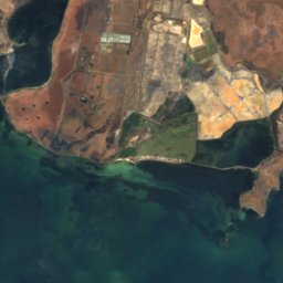
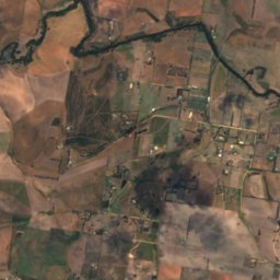
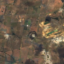
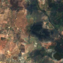
Rippleside BeachBeach2.5 kmNWRippleside Beach
Satellite: Sentinel-2 cloudless 2016 by EOX IT Services GmbH · CC BY 4.0 · Contains modified Copernicus Sentinel data 2016
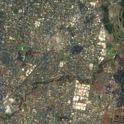
Goat Island, GeelongIsland5.1 kmSGoat Island, Geelong
Photo: Mattinbgn · CC BY-SA 3.0 · Wikimedia CommonsReport this photo · linked, not stored
Moorabool RiverRiver5.1 kmWMoorabool River
Photo: Thom Devereux · CC BY-SA 4.0 · Wikimedia CommonsReport this photo · linked, not stored
Buckley FallsWaterfall5.8 kmWBuckley Falls
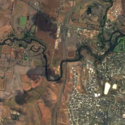
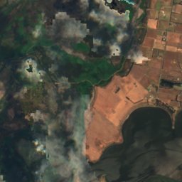
Satellite: Sentinel-2 cloudless 2016 by EOX IT Services GmbH · CC BY 4.0 · Contains modified Copernicus Sentinel data 2016
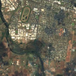
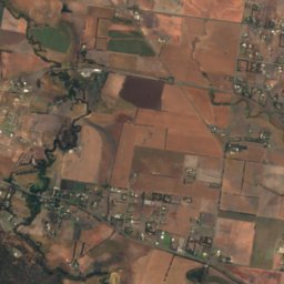
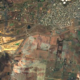
Cowies CreekRiver8.1 kmNWCowies Creek
Photo: Marcus Wong Wongm · CC BY-SA 3.0 · Wikimedia CommonsReport this photo · linked, not stored
You Yangs23 km N319 mJuly 12°You Yangs
Stay nearby

Towns close by

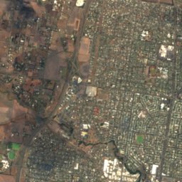
Geelong
Photo: Mattinbgn · CC BY-SA 3.0 · Wikimedia CommonsReport this photo · linked, not stored

Geelong

Victoria · 1.1 km W
17°Oct high
12wet days
62score
Geelong
Batesford
Photo: Mattinbgn · CC BY-SA 3.0 · Wikimedia CommonsReport this photo · linked, not stored

Batesford

Victoria · 11 km NW
18°Oct high
12wet days
66score
Batesford
Moorabool
Photo: Mattinbgn (talk · contribs) · CC BY 3.0 · Wikimedia CommonsReport this photo · linked, not stored

Moorabool

Victoria · 13 km NW
18°Oct high
12wet days
65score
Moorabool
Connewarre
Photo: Marshelec · CC BY 4.0 · Wikimedia CommonsReport this photo · linked, not stored

Connewarre

Victoria · 13 km S
16°Oct high
14wet days
53score
Connewarre
Around here

Geelong and around

Geelong
Photo: Mattinbgn · CC BY-SA 3.0 · Wikimedia CommonsReport this photo · linked, not stored

Geelong

Victoria · Australia
Feb–Aprbest months
13°July high
23 maltitude
Geelong

Nature

Buckley Falls
Photo: Thom Devereux · CC BY-SA 4.0 · Wikimedia CommonsReport this photo · linked, not stored
4.7 km W

Buckley Falls

Waterfall
Buckley Falls
Moorabool River
Photo: Mattinbgn · CC BY-SA 3.0 · Wikimedia CommonsReport this photo · linked, not stored
4.0 km W

Moorabool River

River
Moorabool River
Reedy Lake, Connewarre
Photo: Maias · CC BY-SA 3.0 · Wikimedia CommonsReport this photo · linked, not stored
8.8 km SE

Reedy Lake, Connewarre

Lake
Reedy Lake, Connewarre

Mountains

You Yangs
Photo: Marcus Wong Wongm · CC BY-SA 3.0 · Wikimedia CommonsReport this photo · linked, not stored
23 km N

You Yangs

319 m · Great Dividing Range
You Yangs

Heritage

St Mary of the Angels Basilica
Photo: Mattinbgn · CC BY-SA 3.0 · Wikimedia CommonsReport this photo · linked, not stored
0.6 km S

St Mary of the Angels Basilica

listed on the Victorian Heritage Register · 1938
St Mary of the Angels Basilica
Christ Church, Geelong
Photo: Mattinbgn · CC BY-SA 3.0 · Wikimedia CommonsReport this photo · linked, not stored
0.7 km S

Christ Church, Geelong

listed on the Victorian Heritage Register · 1843
Christ Church, Geelong
Geelong Customs House
Photo: Peterdownunder · CC BY-SA 3.0 · Wikimedia CommonsReport this photo · linked, not stored
0.3 km NE

Geelong Customs House

listed on the Victorian Heritage Register · 1856
Geelong Customs House

Museums

Osborne House
Photo: Marcus Wong Wongm · CC BY-SA 3.0 · Wikimedia CommonsReport this photo · linked, not stored
3.1 km N

Osborne House

Maritime museum · 1857
Osborne House
Geelong Art Gallery
Photo: Geelonggallery · CC BY-SA 4.0 · Wikimedia CommonsReport this photo · linked, not stored
0.3 km W

Geelong Art Gallery

Art museum · 1895
Geelong Art Gallery
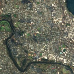
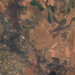
Satellite: Sentinel-2 cloudless 2016 by EOX IT Services GmbH · CC BY 4.0 · Contains modified Copernicus Sentinel data 2016
0.2 km N

National Wool Museum

1988
National Wool Museum