
Photo: Tiaangobius20 · CC BY-SA 4.0 · Wikimedia Commons
Dinner FallsReport this photo · linked, not stored
Dinner FallsReport this photo · linked, not stored

Photo: Kerry Raymond · CC BY 4.0 · Wikimedia Commons
Malanda FallsReport this photo · linked, not stored
Malanda FallsMalanda FallsReport this photo · linked, not stored

Photo: Wayne Butterworth · CC BY 3.0 · Wikimedia Commons
Hasties Swamp National ParkReport this photo · linked, not stored
Hasties Swamp National ParkHasties Swamp National ParkReport this photo · linked, not stored

Photo: Hagai Agmon-Snir حچاي اچمون-سنير חגי אגמון-שניר · CC BY-SA 4.0 · Wikimedia Commons
Millaa Millaa FallsReport this photo · linked, not stored
Millaa Millaa FallsMillaa Millaa FallsReport this photo · linked, not stored
WaterfallWondecla, Queensland
Dinner Falls
WaterfallBest Jun · Aug · Oct
Elevation–above sea level
Height–of the falls
Nearest townWondecla9.4 km
17.43° S, 145.49° EUTC+10 · Australian Eastern Standard Time
When to goWondecla · weather score
Best timeJun · Aug · Oct
October: high / low26° / 16°
Waterfall
Dinner Falls in brief
Dinner Falls is a waterfall in Wondecla, Queensland, Australia — waterfall.
The nearest town in the atlas is Wondecla, 9.4 km to the W, where the weather is best in June, August and October.
Weather nearby now
Forecast for Wondecla19°
Rain now
Today
23 Oct
24°
17°
28 mm
Sat
24 Oct
24°
17°
24 mm
Sun
25 Oct
26°
16°
1 mm
Mon
26 Oct
27°
17°
2 mm
Tue
27 Oct
26°
17°
3 mm
Model run 00:00 UTCRefreshed several times a day
When to go
Climate of WondeclaThe best months around Dinner Falls
Month score in Wondecla
Comfort, dry days and sunshine · out of 10051
Jan
52
Feb
59
Mar
62
Apr
66
May
82
Jun
80
Jul
84
Aug
82
Sep
83
Oct
74
Nov
53
Dec
Map
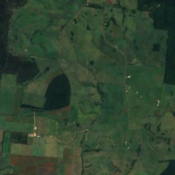
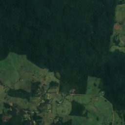
Dinner Falls from above
Nature nearbyAll of Australia
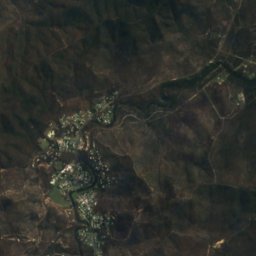
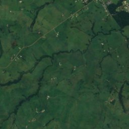
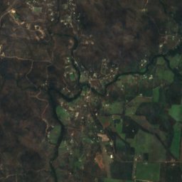
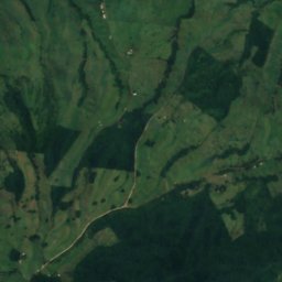
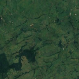
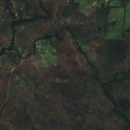
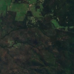
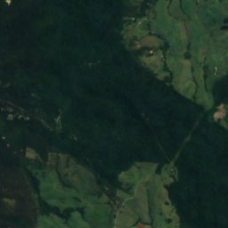
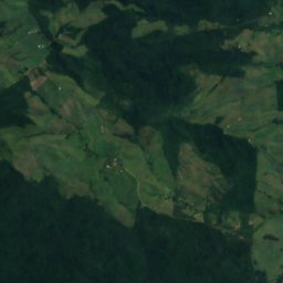
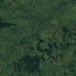
Satellite: Sentinel-2 cloudless 2016 by EOX IT Services GmbH · CC BY 4.0 · Contains modified Copernicus Sentinel data 2016
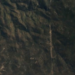
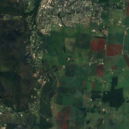
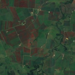
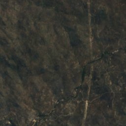
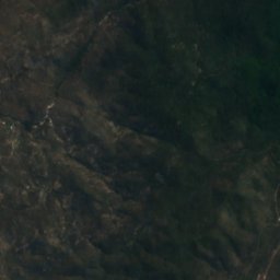
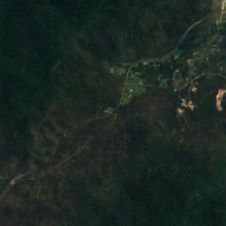
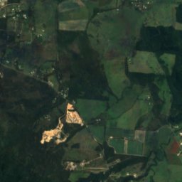
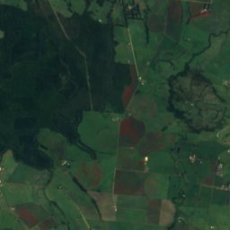
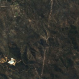
Satellite: Sentinel-2 cloudless 2016 by EOX IT Services GmbH · CC BY 4.0 · Contains modified Copernicus Sentinel data 2016


Photo: Hagai Agmon-Snir حچاي اچمون-سنير חגי אגמון-שניר · CC BY-SA 4.0 · Wikimedia CommonsReport this photo · linked, not stored
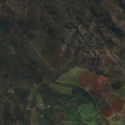
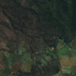
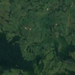
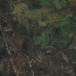
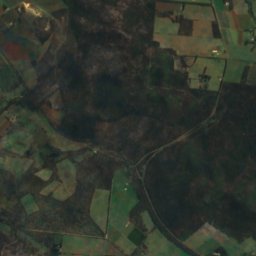
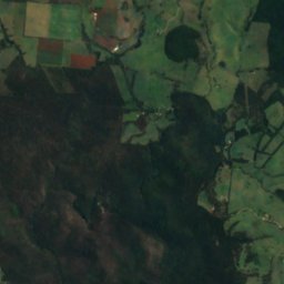
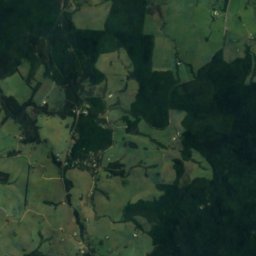
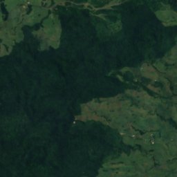
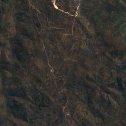
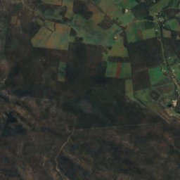
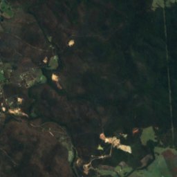
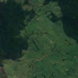
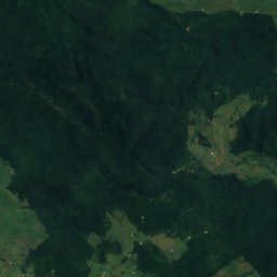
Satellite: Sentinel-2 cloudless 2016 by EOX IT Services GmbH · CC BY 4.0 · Contains modified Copernicus Sentinel data 2016
Stay nearby
Towns close by


Photo: Irvinebank State School Principal · CC BY 4.0 · Wikimedia CommonsReport this photo · linked, not stored
Herberton
Queensland · 12 km NW
26°Oct high
5wet days
82score

Photo: Jan Smith from Brisbane, Australia · CC BY 2.0 · Wikimedia CommonsReport this photo · linked, not stored
Malanda
Queensland · 14 km NE
25°Oct high
5wet days
87score
Around here
Wondecla and around
Nature
Satellite: Sentinel-2 cloudless 2016 by EOX IT Services GmbH · CC BY 4.0 · Contains modified Copernicus Sentinel data 2016
Herberton Range National Park
National park
Satellite: Sentinel-2 cloudless 2016 by EOX IT Services GmbH · CC BY 4.0 · Contains modified Copernicus Sentinel data 2016
Mount Hypipamee National Park
National park · 973 m
Heritage



Satellite: Sentinel-2 cloudless 2016 by EOX IT Services GmbH · CC BY 4.0 · Contains modified Copernicus Sentinel data 2016
Evelyn Scrub War Memorial
listed on the Queensland Heritage Register
Satellite: Sentinel-2 cloudless 2016 by EOX IT Services GmbH · CC BY 4.0 · Contains modified Copernicus Sentinel data 2016
Herberton War Memorial
listed on the Queensland Heritage Register
Satellite: Sentinel-2 cloudless 2016 by EOX IT Services GmbH · CC BY 4.0 · Contains modified Copernicus Sentinel data 2016
Great Northern Mine
listed on the Queensland Heritage Register


