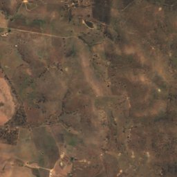
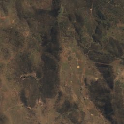
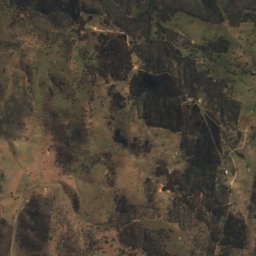
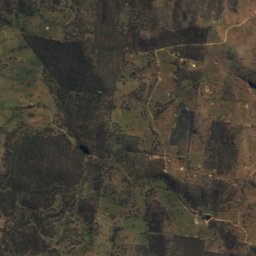
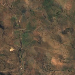
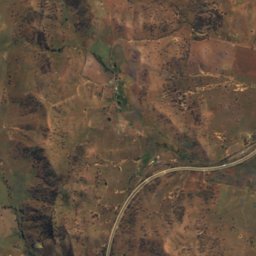
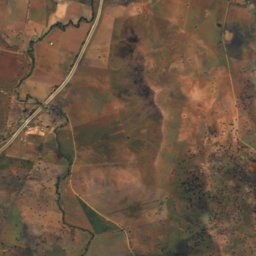
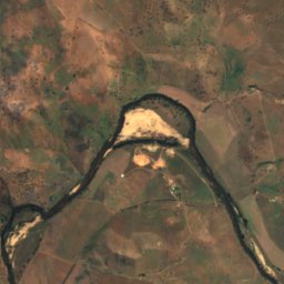
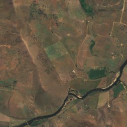
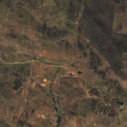
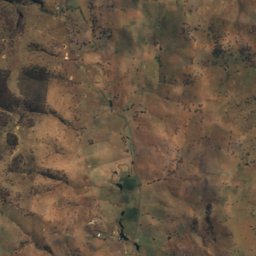
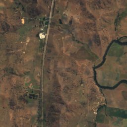
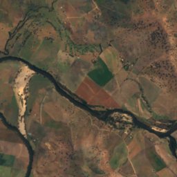
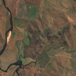
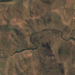
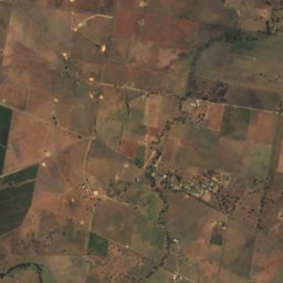
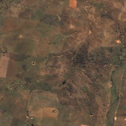
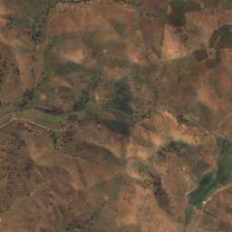
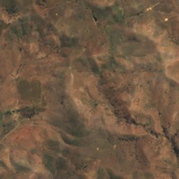
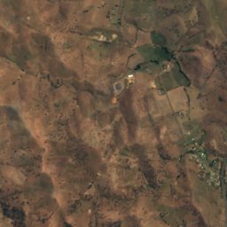
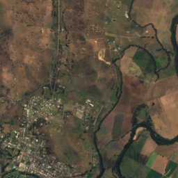
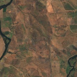
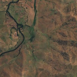
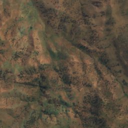
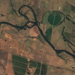
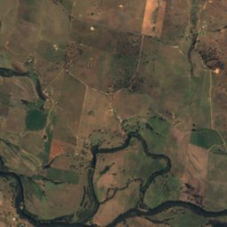
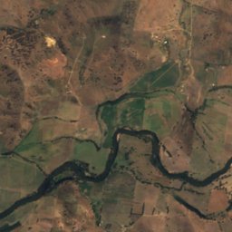
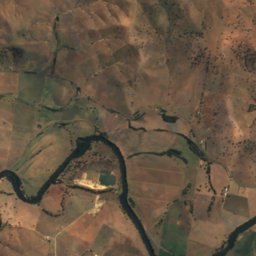
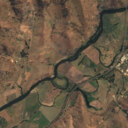
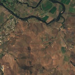
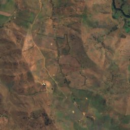
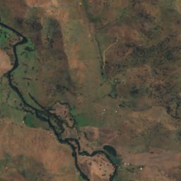
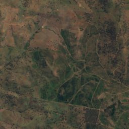
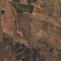
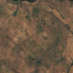
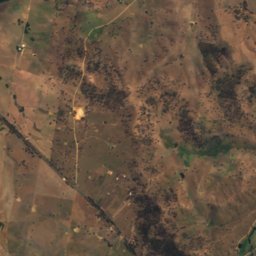
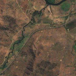
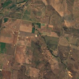
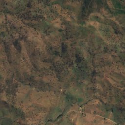
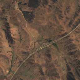
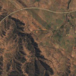
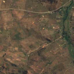
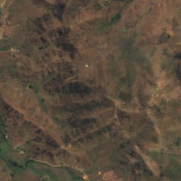
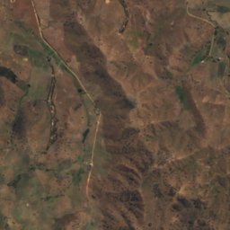
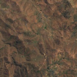
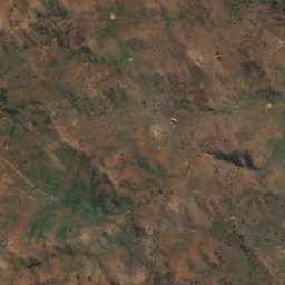
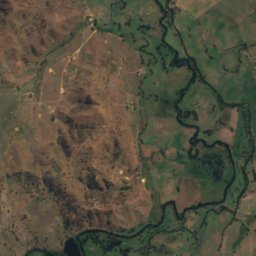
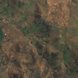
Satellite: Sentinel-2 cloudless 2016 by EOX IT Services GmbH · CC BY 4.0 · Contains modified Copernicus Sentinel data 2016

Photo: Mattinbgn · CC BY-SA 3.0 · Wikimedia Commons
Tumut RiverReport this photo · linked, not stored
Tumut RiverTumut RiverReport this photo · linked, not stored
BeachGundagai, New South Wales
Deightons Beach
Beach265 m elevationBest Mar–May
Elevation265 mabove sea level
Area–surface
Nearest townGundagai1.7 km
35.07° S, 148.09° EElevation 265 mUTC+11 · Australian Eastern Daylight Time
When to goGundagai · weather score
Best timeMar–May
October: high / low20° / 8°
Beach
Deightons Beach in brief
Deightons Beach is a beach in Gundagai, New South Wales, Australia.
It lies at 265 m above sea level.
The nearest town in the atlas is Gundagai, 1.7 km to the NE, where the weather is best in March, April and May.
Weather nearby now
Forecast for Gundagai17°
Clear now
Today
23 Oct
26°
15°
1 mm
Sat
24 Oct
28°
15°
1 mm
Sun
25 Oct
25°
19°
22 mm
Mon
26 Oct
17°
9°
4 mm
Tue
27 Oct
17°
7°
Model run 00:00 UTCRefreshed several times a day
When to go
Climate of GundagaiThe best months around Deightons Beach
Month score in Gundagai
Comfort, dry days and sunshine · out of 10057
Jan
66
Feb
77
Mar
85
Apr
78
May
49
Jun
45
Jul
56
Aug
76
Sep
77
Oct
77
Nov
72
Dec
Map
Deightons Beach from above
Nature nearbyAll of Australia

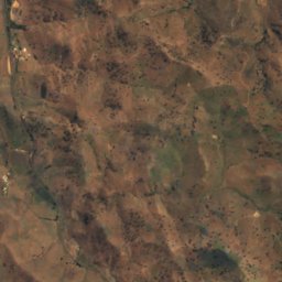
Satellite: Sentinel-2 cloudless 2016 by EOX IT Services GmbH · CC BY 4.0 · Contains modified Copernicus Sentinel data 2016
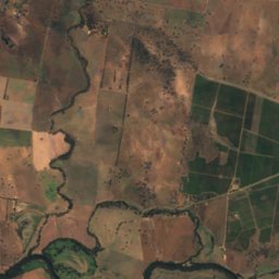
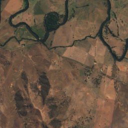
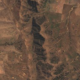
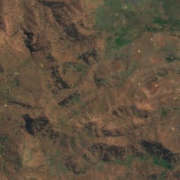
Satellite: Sentinel-2 cloudless 2016 by EOX IT Services GmbH · CC BY 4.0 · Contains modified Copernicus Sentinel data 2016
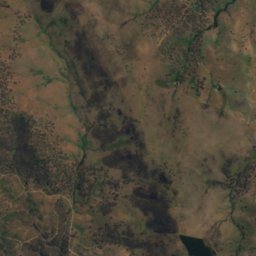
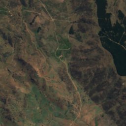
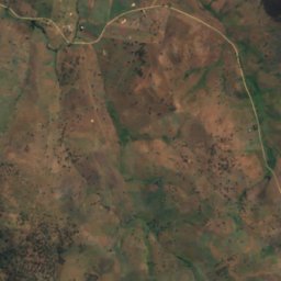
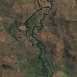
Satellite: Sentinel-2 cloudless 2016 by EOX IT Services GmbH · CC BY 4.0 · Contains modified Copernicus Sentinel data 2016
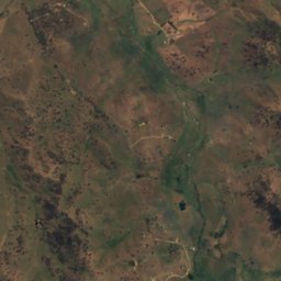
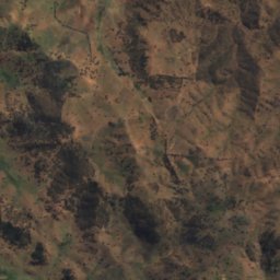
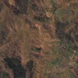
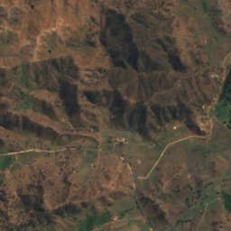
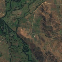
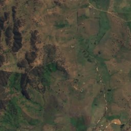
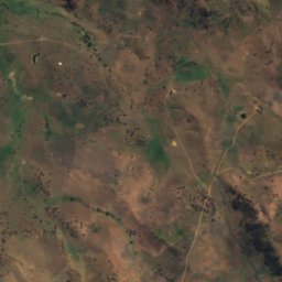
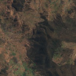
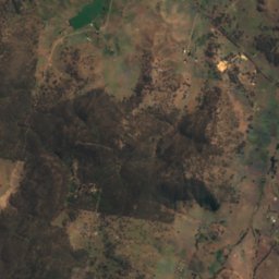
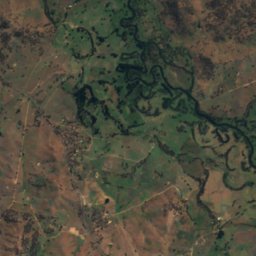
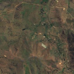
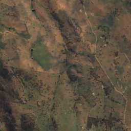
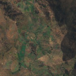
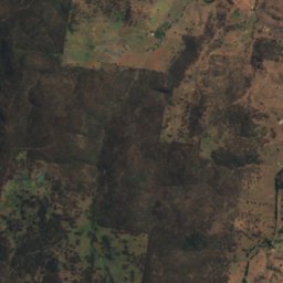
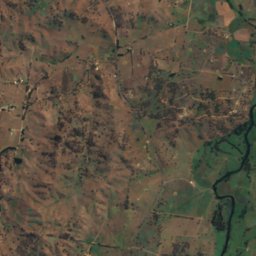
Satellite: Sentinel-2 cloudless 2016 by EOX IT Services GmbH · CC BY 4.0 · Contains modified Copernicus Sentinel data 2016
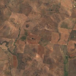
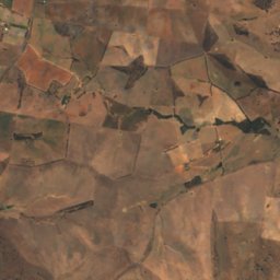
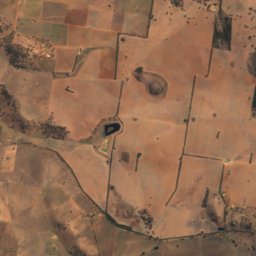
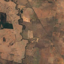
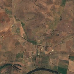
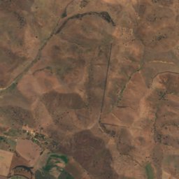
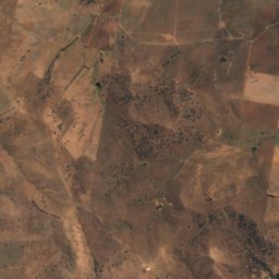
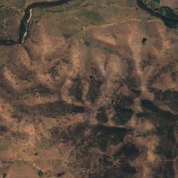
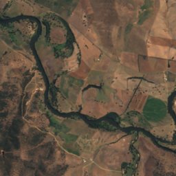
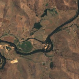
Satellite: Sentinel-2 cloudless 2016 by EOX IT Services GmbH · CC BY 4.0 · Contains modified Copernicus Sentinel data 2016
Stay nearby
Towns close by

Photo: Robert Myers (CC-BY-SA 3.0 AU) · CC BY-SA 3.0 au · Wikimedia CommonsReport this photo · linked, not stored
Gundagai
New South Wales · 1.7 km NE
20°Oct high
10wet days
77score


Around here
Gundagai and around
Photo: Robert Myers (CC-BY-SA 3.0 AU) · CC BY-SA 3.0 au · Wikimedia CommonsReport this photo · linked, not stored
Gundagai
New South Wales · Australia
Mar–Maybest months
12°July high
226 maltitude
Nature
Satellite: Sentinel-2 cloudless 2016 by EOX IT Services GmbH · CC BY 4.0 · Contains modified Copernicus Sentinel data 2016
Adjungbilly Creek
River
Satellite: Sentinel-2 cloudless 2016 by EOX IT Services GmbH · CC BY 4.0 · Contains modified Copernicus Sentinel data 2016
Minjary National Park
National park
Mountains
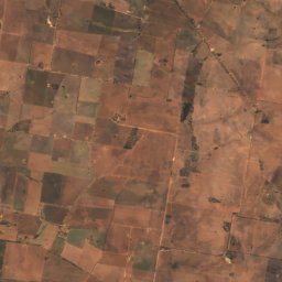
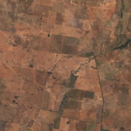
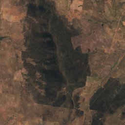
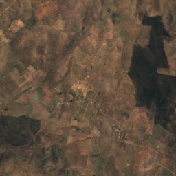
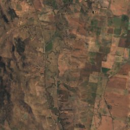
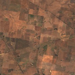
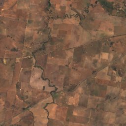
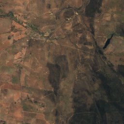
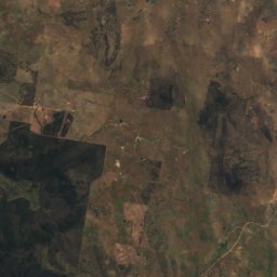
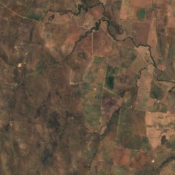
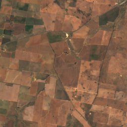
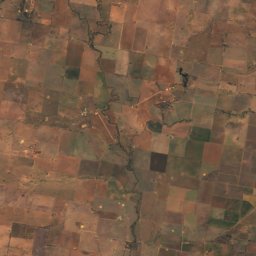
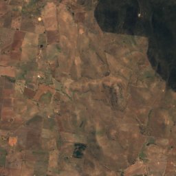
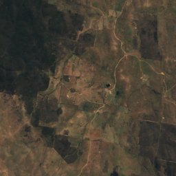
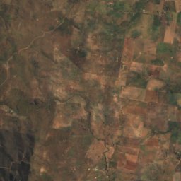


Satellite: Sentinel-2 cloudless 2016 by EOX IT Services GmbH · CC BY 4.0 · Contains modified Copernicus Sentinel data 2016
Mount Ulandra
761 m
Heritage


Murrumbidgee River railway bridge, Gundagai
Heritage Act - s.170 NSW State agency heritage register · 1903


Prince Alfred Bridge
Heritage Act - s.170 NSW State agency heritage register

Photo: Robert Myers (CC-BY-SA 3.0 AU) · CC BY-SA 3.0 au · Wikimedia CommonsReport this photo · linked, not stored

Gundagai railway station
Heritage Act — State Heritage Register
Museums

Photo: Mattinbgn (talk · contribs) · CC BY 3.0 · Wikimedia CommonsReport this photo · linked, not stored
