




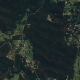
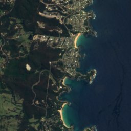


Satellite: Sentinel-2 cloudless 2016 by EOX IT Services GmbH · CC BY 4.0 · Contains modified Copernicus Sentinel data 2016
BeachBatemans Bay, New South Wales
Corrigans Beach
Beach6 m elevationBest Apr–May · Sep
Elevation6 mabove sea level
Sea, warmest22°CFebruary
Nearest townBatemans Bay1.3 km
35.72° S, 150.18° EElevation 6 mUTC+11 · Australian Eastern Daylight Time
When to goBatemans Bay · weather score
Best timeApr–May · Sep
October: high / low20° / 13°
Beach
Corrigans Beach in brief
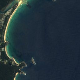
Corrigans Beach is a beach in Batemans Bay, New South Wales, Australia.
It lies at 6 m above sea level.
The nearest town in the atlas is Batemans Bay, 1.3 km to the NW, where the weather is best in April, May and September.
The sea is warmest in February, at about 22°C.
Weather nearby now
Forecast for Batemans Bay17°
Partly cloudy now
Today
23 Oct
23°
15°
1 mm
Sat
24 Oct
24°
17°
Sun
25 Oct
28°
17°
5 mm
Mon
26 Oct
18°
13°
9 mm
Tue
27 Oct
18°
12°
6 mm
Model run 00:00 UTCRefreshed several times a day
Sea and air through the year
Sea surface temperature off the coast and the average daily high in Batemans Bay, month by month.Jan22°24°
Feb22°24°
Mar22°23°
Apr21°20°
May20°18°
Jun18°15°
Jul17°15°
Aug17°16°
Sep17°18°
Oct18°20°
Nov19°21°
Dec20°23°
seaair, daily high
Map
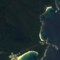
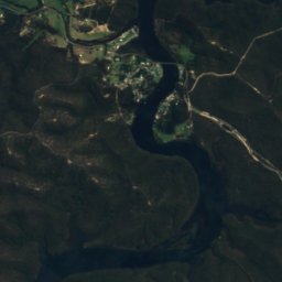
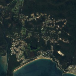
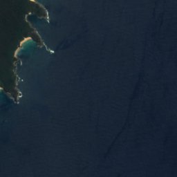
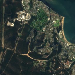
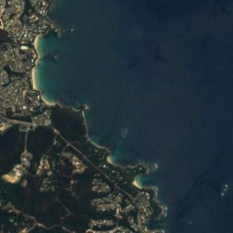
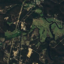
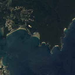
Corrigans Beach from above
Nature nearbyAll of Australia
Satellite: Sentinel-2 cloudless 2016 by EOX IT Services GmbH · CC BY 4.0 · Contains modified Copernicus Sentinel data 2016
Satellite: Sentinel-2 cloudless 2016 by EOX IT Services GmbH · CC BY 4.0 · Contains modified Copernicus Sentinel data 2016
Satellite: Sentinel-2 cloudless 2016 by EOX IT Services GmbH · CC BY 4.0 · Contains modified Copernicus Sentinel data 2016
Satellite: Sentinel-2 cloudless 2016 by EOX IT Services GmbH · CC BY 4.0 · Contains modified Copernicus Sentinel data 2016
Satellite: Sentinel-2 cloudless 2016 by EOX IT Services GmbH · CC BY 4.0 · Contains modified Copernicus Sentinel data 2016
Satellite: Sentinel-2 cloudless 2016 by EOX IT Services GmbH · CC BY 4.0 · Contains modified Copernicus Sentinel data 2016
Stay nearby
Towns close by


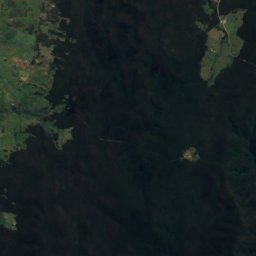
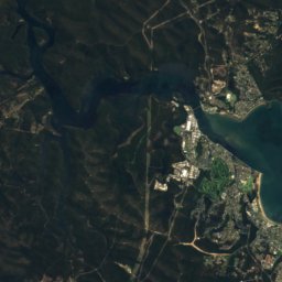
Around here
Batemans Bay and around
Nature
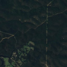
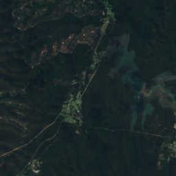
Satellite: Sentinel-2 cloudless 2016 by EOX IT Services GmbH · CC BY 4.0 · Contains modified Copernicus Sentinel data 2016
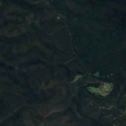
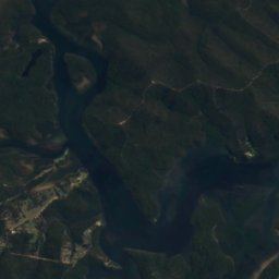
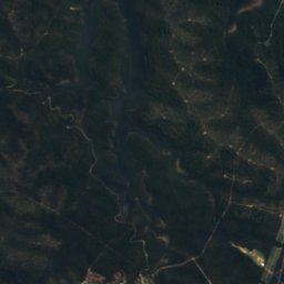
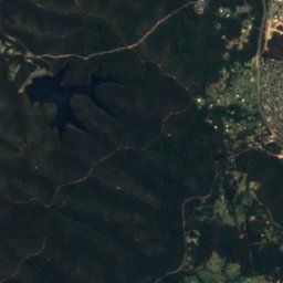
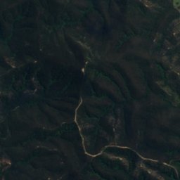
Clyde River National Park
National park
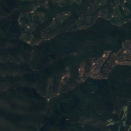
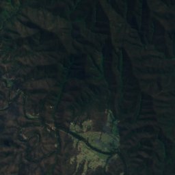
Satellite: Sentinel-2 cloudless 2016 by EOX IT Services GmbH · CC BY 4.0 · Contains modified Copernicus Sentinel data 2016
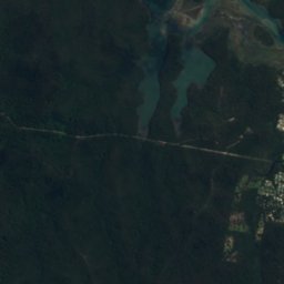
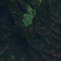
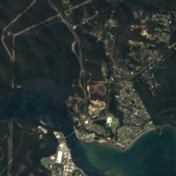
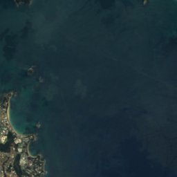
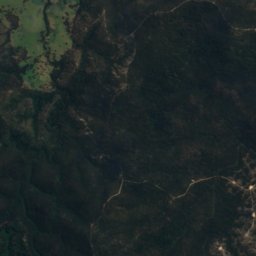
Catalina Lake
Lake · 19 m
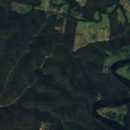
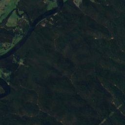
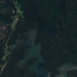
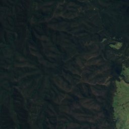
Satellite: Sentinel-2 cloudless 2016 by EOX IT Services GmbH · CC BY 4.0 · Contains modified Copernicus Sentinel data 2016
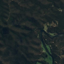
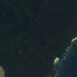
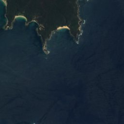
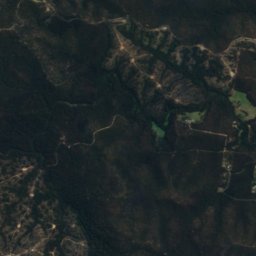
Durras Lake
Lake · 45 m


