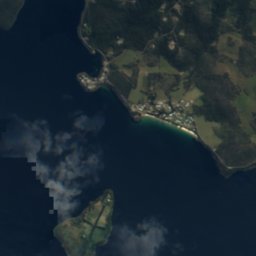
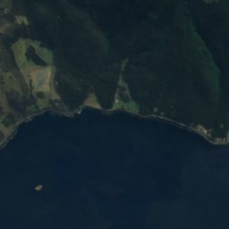
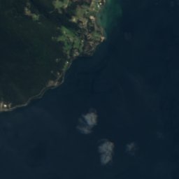
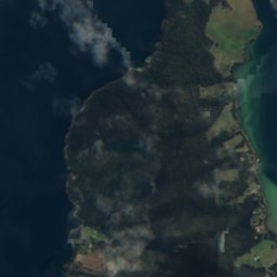

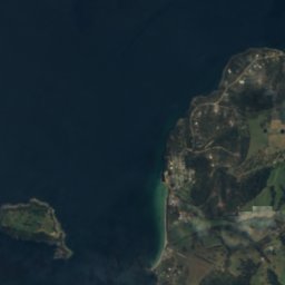
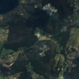
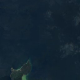
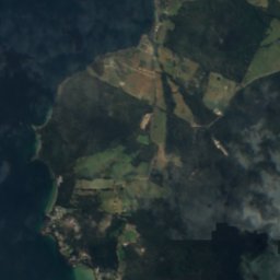
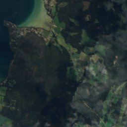
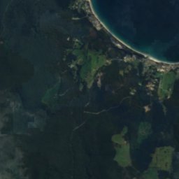
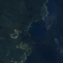

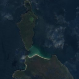
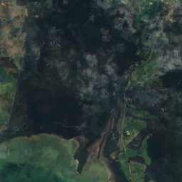
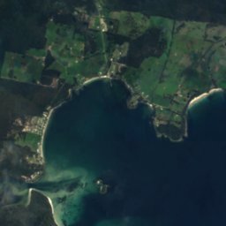
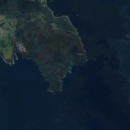
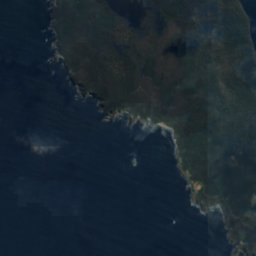
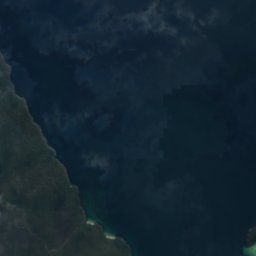
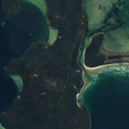
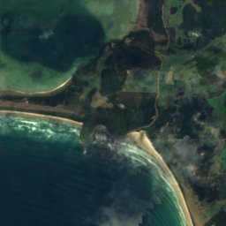
Satellite: Sentinel-2 cloudless 2016 by EOX IT Services GmbH · CC BY 4.0 · Contains modified Copernicus Sentinel data 2016

Photo: Alpha Juliet · CC BY-SA 4.0 · Wikimedia Commons
Curlew Island, TasmaniaReport this photo · linked, not stored
Curlew Island, TasmaniaCurlew Island, TasmaniaReport this photo · linked, not stored

Photo: JJ Harrison (https://www.jjharrison.com.au/) · CC BY-SA 2.5 · Wikimedia Commons
Cemetery Beach, TasmaniaReport this photo · linked, not stored
Cemetery Beach, TasmaniaCemetery Beach, TasmaniaReport this photo · linked, not stored
BeachDover, Tasmania
Conleys Beach
Beach1 m elevationBest Jan–Mar
Elevation1 mabove sea level
Sea, warmest16°CFebruary
Nearest townDover15 km
43.38° S, 147.18° EElevation 1 mUTC+11 · Australian Eastern Daylight Time
When to goDover · weather score
Best timeJan–Mar
October: high / low13° / 9°
Beach
Conleys Beach in brief
Conleys Beach is a beach in Dover, Tasmania, Australia.
It lies at 1 m above sea level.
The nearest town in the atlas is Dover, 15 km to the NW, where the weather is best in January, February and March.
The sea is warmest in February, at about 16°C.
Weather nearby now
Forecast for Dover17°
Partly cloudy now
Today
23 Oct
27°
15°
2 mm
Sat
24 Oct
19°
12°
3 mm
Sun
25 Oct
12°
7°
19 mm
Mon
26 Oct
11°
4°
3 mm
Tue
27 Oct
13°
5°
1 mm
Model run 00:00 UTCRefreshed several times a day
Sea and air through the year
Sea surface temperature off the coast and the average daily high in Dover, month by month.Jan16°17°
Feb16°18°
Mar16°17°
Apr15°15°
May14°13°
Jun13°11°
Jul13°11°
Aug12°12°
Sep12°12°
Oct12°13°
Nov13°15°
Dec14°16°
seaair, daily high
When to go
Climate of DoverThe best months around Conleys Beach
Month score in Dover
Comfort, dry days and sunshine · out of 10073
Jan
74
Feb
66
Mar
57
Apr
47
May
31
Jun
33
Jul
29
Aug
34
Sep
38
Oct
47
Nov
55
Dec
Map
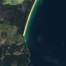
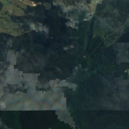
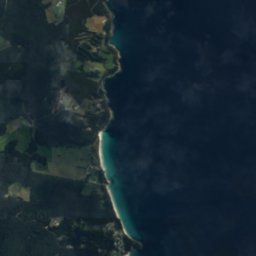
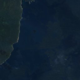
Conleys Beach from above
Nature nearbyAll of Australia
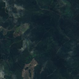
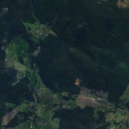
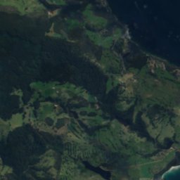
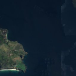
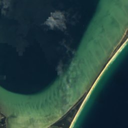
Satellite: Sentinel-2 cloudless 2016 by EOX IT Services GmbH · CC BY 4.0 · Contains modified Copernicus Sentinel data 2016


Photo: JJ Harrison (https://www.jjharrison.com.au/) · CC BY-SA 2.5 · Wikimedia CommonsReport this photo · linked, not stored
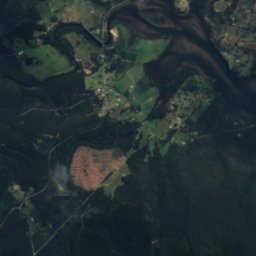
Satellite: Sentinel-2 cloudless 2016 by EOX IT Services GmbH · CC BY 4.0 · Contains modified Copernicus Sentinel data 2016
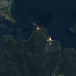
Satellite: Sentinel-2 cloudless 2016 by EOX IT Services GmbH · CC BY 4.0 · Contains modified Copernicus Sentinel data 2016
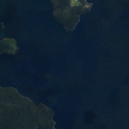
Satellite: Sentinel-2 cloudless 2016 by EOX IT Services GmbH · CC BY 4.0 · Contains modified Copernicus Sentinel data 2016
Summits nearbyMountains of Australia
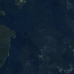
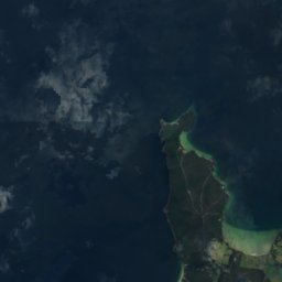
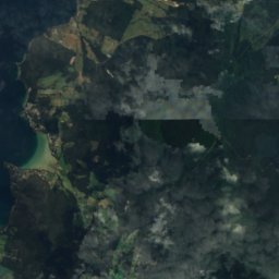
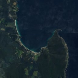

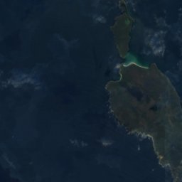
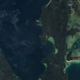
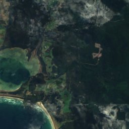
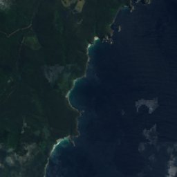
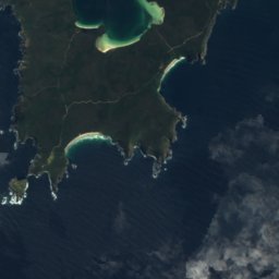
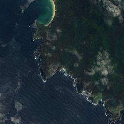
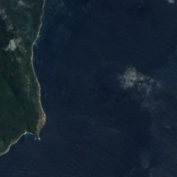
Satellite: Sentinel-2 cloudless 2016 by EOX IT Services GmbH · CC BY 4.0 · Contains modified Copernicus Sentinel data 2016
Stay nearby
Towns close by

Photo: Stephen Edmonds from Melbourne, Australia · CC BY-SA 2.0 · Wikimedia CommonsReport this photo · linked, not stored
Dover
Tasmania · 15 km NW
13°Oct high
15wet days
38score
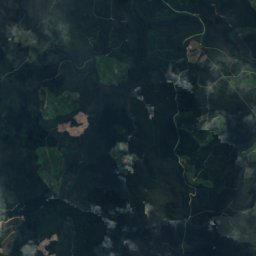
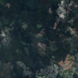
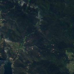
Satellite: Sentinel-2 cloudless 2016 by EOX IT Services GmbH · CC BY 4.0 · Contains modified Copernicus Sentinel data 2016
Lymington
Tasmania · 22 km NW
14°Oct high
15wet days
41score
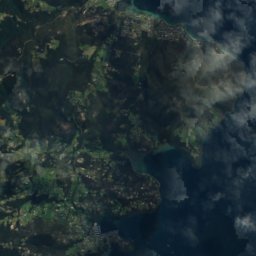
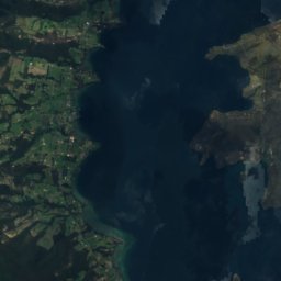
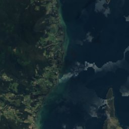
Satellite: Sentinel-2 cloudless 2016 by EOX IT Services GmbH · CC BY 4.0 · Contains modified Copernicus Sentinel data 2016
Gardners Bay
Tasmania · 23 km N
14°Oct high
15wet days
40score
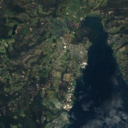
Satellite: Sentinel-2 cloudless 2016 by EOX IT Services GmbH · CC BY 4.0 · Contains modified Copernicus Sentinel data 2016
Nicholls Rivulet
Tasmania · 25 km N
14°Oct high
15wet days
39score
Around here
Dover and around
Photo: Stephen Edmonds from Melbourne, Australia · CC BY-SA 2.0 · Wikimedia CommonsReport this photo · linked, not stored
Dover
Tasmania · Australia
Jan–Marbest months
11°July high
29 maltitude
Nature

Photo: JJ Harrison (https://www.jjharrison.com.au/) · CC BY-SA 3.0 · Wikimedia CommonsReport this photo · linked, not stored
Hartz Mountains National Park
National park · 768 m


Mountains
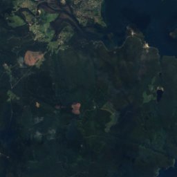


Satellite: Sentinel-2 cloudless 2016 by EOX IT Services GmbH · CC BY 4.0 · Contains modified Copernicus Sentinel data 2016
Adamsons Peak
1,225 m · Hartz Mountains
Satellite: Sentinel-2 cloudless 2016 by EOX IT Services GmbH · CC BY 4.0 · Contains modified Copernicus Sentinel data 2016
Mount Bruny
504 m