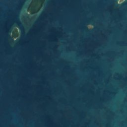
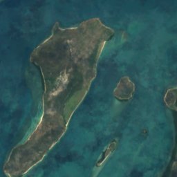
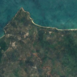
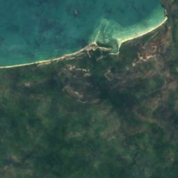
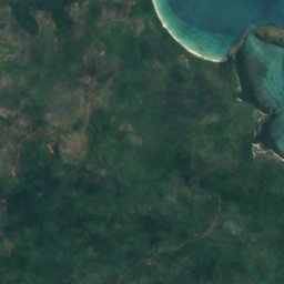
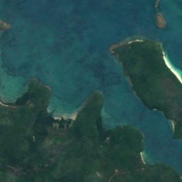
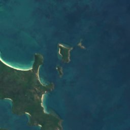


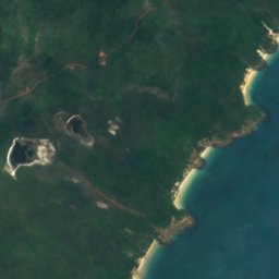



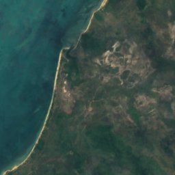
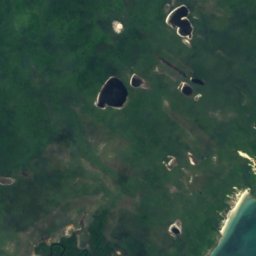
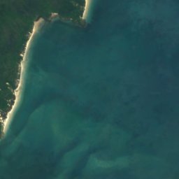



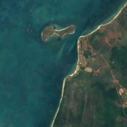
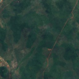
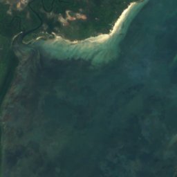
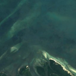



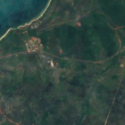
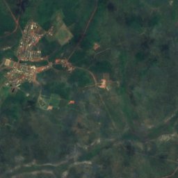
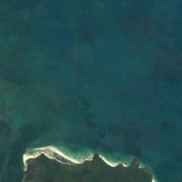

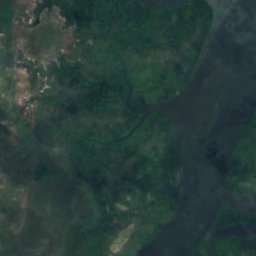
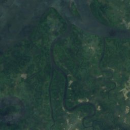
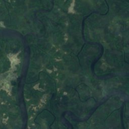
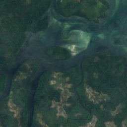
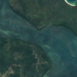
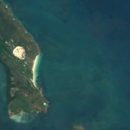
Satellite: Sentinel-2 cloudless 2016 by EOX IT Services GmbH · CC BY 4.0 · Contains modified Copernicus Sentinel data 2016
BeachNew Mapoon, Queensland
Congora Beach
Beach16 m elevationBest Jul–Sep
Elevation16 mabove sea level
Sea, warmest29°CJanuary
Nearest townNew Mapoon18 km
10.84° S, 142.54° EElevation 16 mUTC+10 · Australian Eastern Standard Time
When to goNew Mapoon · weather score
Best timeJul–Sep
October: high / low28° / 24°
Beach
Congora Beach in brief
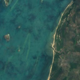
Congora Beach is a beach in New Mapoon, Queensland, Australia.
It lies at 16 m above sea level.
The nearest town in the atlas is New Mapoon, 18 km to the W, where the weather is best in July, August and September.
The sea is warmest in January, at about 29°C.
Weather nearby now
Forecast for New Mapoon25°
Cloudy now
Today
23 Oct
31°
24°
Sat
24 Oct
31°
24°
Sun
25 Oct
32°
25°
Mon
26 Oct
32°
25°
Tue
27 Oct
32°
24°
Model run 00:00 UTCRefreshed several times a day
Sea and air through the year
Sea surface temperature off the coast and the average daily high in New Mapoon, month by month.Jan29°29°
Feb29°28°
Mar29°28°
Apr28°28°
May27°28°
Jun26°27°
Jul25°26°
Aug25°26°
Sep26°27°
Oct27°28°
Nov28°29°
Dec29°29°
seaair, daily high
When to go
Climate of New MapoonThe best months around Congora Beach
Month score in New Mapoon
Comfort, dry days and sunshine · out of 10038
Jan
37
Feb
40
Mar
46
Apr
57
May
79
Jun
87
Jul
86
Aug
88
Sep
81
Oct
62
Nov
41
Dec
Map
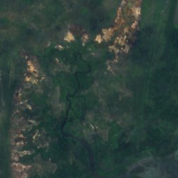
Congora Beach from above
Nature nearbyAll of Australia
Satellite: Sentinel-2 cloudless 2016 by EOX IT Services GmbH · CC BY 4.0 · Contains modified Copernicus Sentinel data 2016
Satellite: Sentinel-2 cloudless 2016 by EOX IT Services GmbH · CC BY 4.0 · Contains modified Copernicus Sentinel data 2016
Satellite: Sentinel-2 cloudless 2016 by EOX IT Services GmbH · CC BY 4.0 · Contains modified Copernicus Sentinel data 2016
Satellite: Sentinel-2 cloudless 2016 by EOX IT Services GmbH · CC BY 4.0 · Contains modified Copernicus Sentinel data 2016
Satellite: Sentinel-2 cloudless 2016 by EOX IT Services GmbH · CC BY 4.0 · Contains modified Copernicus Sentinel data 2016
Satellite: Sentinel-2 cloudless 2016 by EOX IT Services GmbH · CC BY 4.0 · Contains modified Copernicus Sentinel data 2016
Stay nearby
Towns close by
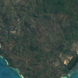
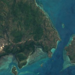
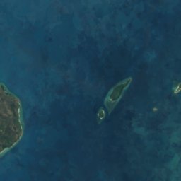
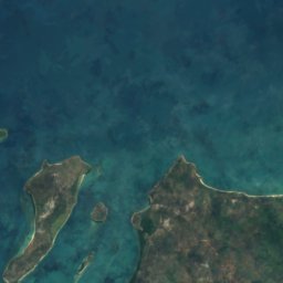
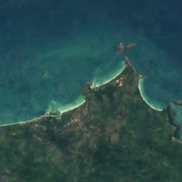
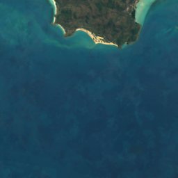


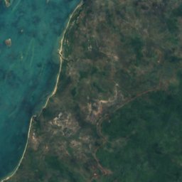


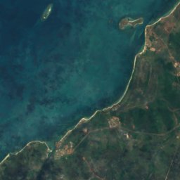
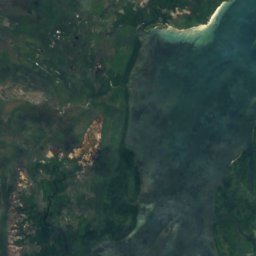
Satellite: Sentinel-2 cloudless 2016 by EOX IT Services GmbH · CC BY 4.0 · Contains modified Copernicus Sentinel data 2016
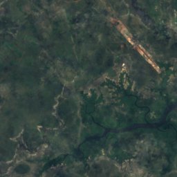
New Mapoon
Queensland · 18 km W
28°Oct high
2wet days
81score
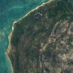
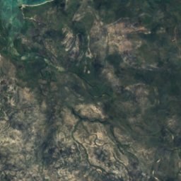
Satellite: Sentinel-2 cloudless 2016 by EOX IT Services GmbH · CC BY 4.0 · Contains modified Copernicus Sentinel data 2016
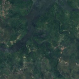
Bamaga
Queensland · 18 km W
29°Oct high
2wet days
80score

Around here
New Mapoon and around
Satellite: Sentinel-2 cloudless 2016 by EOX IT Services GmbH · CC BY 4.0 · Contains modified Copernicus Sentinel data 2016
New Mapoon
Queensland · Australia
Jul–Sepbest months
26°July high
41 maltitude
Nature









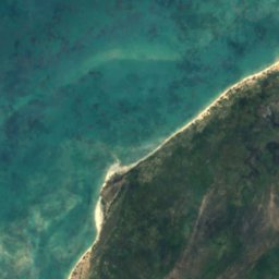
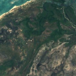
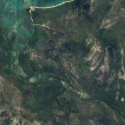
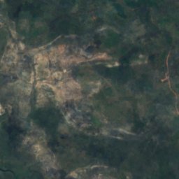
Satellite: Sentinel-2 cloudless 2016 by EOX IT Services GmbH · CC BY 4.0 · Contains modified Copernicus Sentinel data 2016
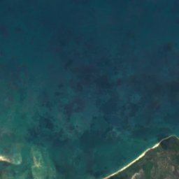
Jardine River
River
Satellite: Sentinel-2 cloudless 2016 by EOX IT Services GmbH · CC BY 4.0 · Contains modified Copernicus Sentinel data 2016
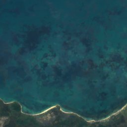
Jackey Jackey Creek
River
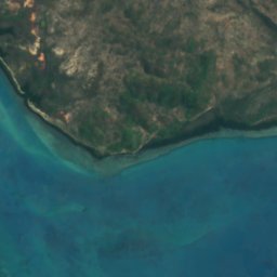
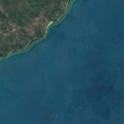



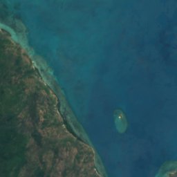




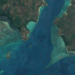
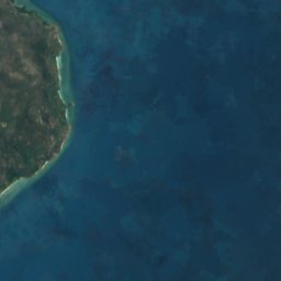

Satellite: Sentinel-2 cloudless 2016 by EOX IT Services GmbH · CC BY 4.0 · Contains modified Copernicus Sentinel data 2016
Possession Island National Park
National park · 9 m