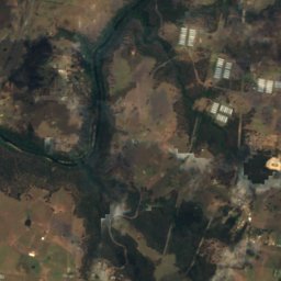
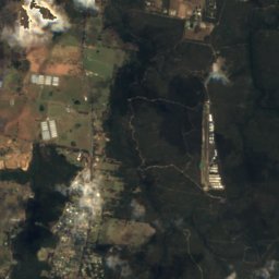





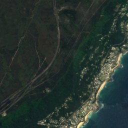



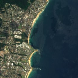




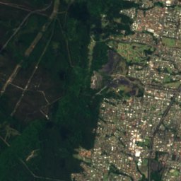
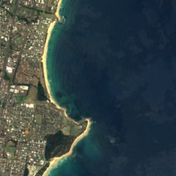




Satellite: Sentinel-2 cloudless 2016 by EOX IT Services GmbH · CC BY 4.0 · Contains modified Copernicus Sentinel data 2016

Photo: Maksym Kozlenko · CC BY-SA 4.0 · Wikimedia Commons
Wombarra BeachReport this photo · linked, not stored
Wombarra BeachWombarra BeachReport this photo · linked, not stored

Photo: Maksym Kozlenko · CC BY-SA 4.0 · Wikimedia Commons
Scarborough Beach, New South WalesReport this photo · linked, not stored
Scarborough Beach, New South WalesScarborough Beach, New South WalesReport this photo · linked, not stored

Photo: Maksym Kozlenko · CC BY-SA 4.0 · Wikimedia Commons
Little Austinmer BeachReport this photo · linked, not stored
Little Austinmer BeachLittle Austinmer BeachReport this photo · linked, not stored

Photo: Maksym Kozlenko · CC BY-SA 3.0 · Wikimedia Commons
Thirroul BeachReport this photo · linked, not stored
Thirroul BeachThirroul BeachReport this photo · linked, not stored
BeachScarborough, New South Wales
Coledale Beach
Beach4 m elevationBest Apr · Sep–Oct
Elevation4 mabove sea level
Sea, warmest23°CFebruary
Nearest townScarborough3.0 km
34.29° S, 150.95° EElevation 4 mUTC+11 · Australian Eastern Daylight Time
When to goScarborough · weather score
Best timeApr · Sep–Oct
October: high / low19° / 13°
Beach
Coledale Beach in brief
Coledale Beach is a beach in Scarborough, New South Wales, Australia.
It lies at 4 m above sea level.
The nearest town in the atlas is Scarborough, 3.0 km to the NE, where the weather is best in April, September and October.
The sea is warmest in February, at about 23°C.
Weather nearby now
Forecast for Scarborough18°
Partly cloudy now
Today
23 Oct
20°
17°
2 mm
Sat
24 Oct
22°
17°
Sun
25 Oct
26°
18°
2 mm
Mon
26 Oct
20°
14°
3 mm
Tue
27 Oct
19°
13°
Model run 00:00 UTCRefreshed several times a day
Sea and air through the year
Sea surface temperature off the coast and the average daily high in Scarborough, month by month.Jan23°23°
Feb23°23°
Mar23°22°
Apr22°20°
May21°17°
Jun20°15°
Jul19°14°
Aug18°15°
Sep18°17°
Oct19°19°
Nov20°20°
Dec21°22°
seaair, daily high
When to go
Climate of ScarboroughThe best months around Coledale Beach
Month score in Scarborough
Comfort, dry days and sunshine · out of 10064
Jan
64
Feb
66
Mar
78
Apr
70
May
69
Jun
61
Jul
66
Aug
80
Sep
74
Oct
71
Nov
67
Dec
Map
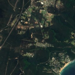
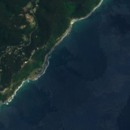
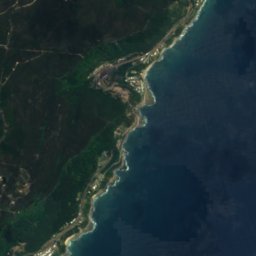
Coledale Beach from above
Nature nearbyAll of Australia

Satellite: Sentinel-2 cloudless 2016 by EOX IT Services GmbH · CC BY 4.0 · Contains modified Copernicus Sentinel data 2016


Satellite: Sentinel-2 cloudless 2016 by EOX IT Services GmbH · CC BY 4.0 · Contains modified Copernicus Sentinel data 2016

Summits nearbyMountains of Australia

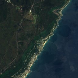
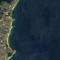
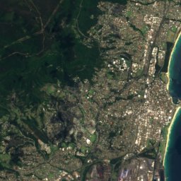
Satellite: Sentinel-2 cloudless 2016 by EOX IT Services GmbH · CC BY 4.0 · Contains modified Copernicus Sentinel data 2016



Satellite: Sentinel-2 cloudless 2016 by EOX IT Services GmbH · CC BY 4.0 · Contains modified Copernicus Sentinel data 2016

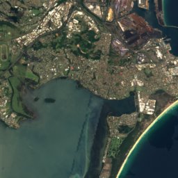
Satellite: Sentinel-2 cloudless 2016 by EOX IT Services GmbH · CC BY 4.0 · Contains modified Copernicus Sentinel data 2016
Stay nearby
Towns close by


Photo: Knows at English Wikipedia · Public domain · Wikimedia CommonsReport this photo · linked, not stored
Appin
New South Wales · 18 km NW
21°Oct high
11wet days
74score

Photo: Knows at English Wikipedia · Public domain · Wikimedia CommonsReport this photo · linked, not stored
Wilton
New South Wales · 24 km W
21°Oct high
11wet days
74score
Around here
Scarborough and around
Nature
Satellite: Sentinel-2 cloudless 2016 by EOX IT Services GmbH · CC BY 4.0 · Contains modified Copernicus Sentinel data 2016
Loddon Falls
Waterfall · 360 m

Photo: John Tann from Sydney, Australia · CC BY 2.0 · Wikimedia CommonsReport this photo · linked, not stored
Dharawal National Park
National park

Mountains


Satellite: Sentinel-2 cloudless 2016 by EOX IT Services GmbH · CC BY 4.0 · Contains modified Copernicus Sentinel data 2016
Mount Keira
464 m
Satellite: Sentinel-2 cloudless 2016 by EOX IT Services GmbH · CC BY 4.0 · Contains modified Copernicus Sentinel data 2016
Brokers Nose
440 m · Illawarra escarpment
Heritage


Scarborough railway station, New South Wales
Heritage Act — State Heritage Register


Helensburgh railway station
Heritage Act — State Heritage Register · 1889
Photo: Knows at English Wikipedia · Public domain · Wikimedia CommonsReport this photo · linked, not stored
Cataract Dam
Heritage Act — State Heritage Register