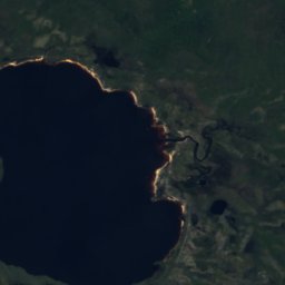
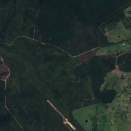
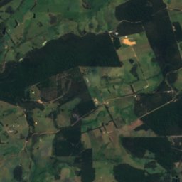
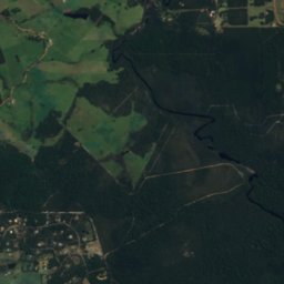
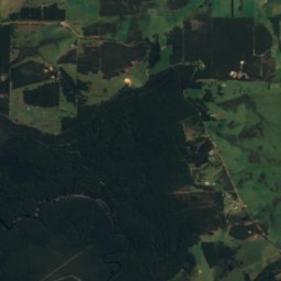
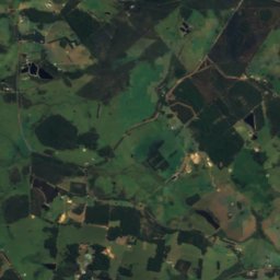
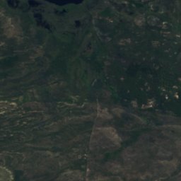
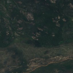
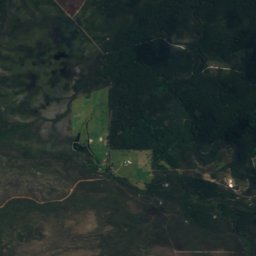
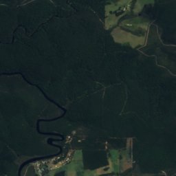
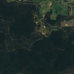
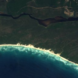
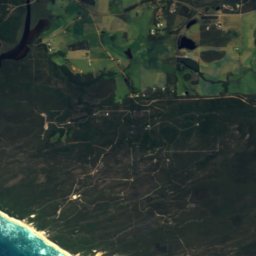
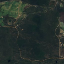
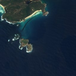

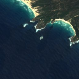
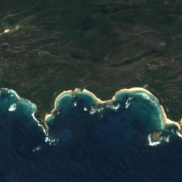




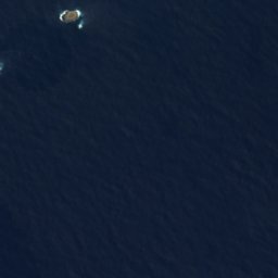







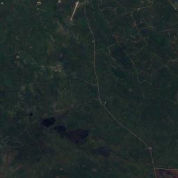
Satellite: Sentinel-2 cloudless 2016 by EOX IT Services GmbH · CC BY 4.0 · Contains modified Copernicus Sentinel data 2016

Photo: Hughesdarren · Public domain · Wikimedia Commons
Deep RiverReport this photo · linked, not stored
Deep RiverDeep RiverReport this photo · linked, not stored
BeachWalpole, Western Australia
Circus Beach
Beach17 m elevationBest Jan–Feb · Dec
Elevation17 mabove sea level
Sea, warmest21°CApril
Nearest townWalpole6.2 km
35.03° S, 116.71° EElevation 17 mUTC+8 · Australian Western Standard Time
When to goWalpole · weather score
Best timeJan–Feb · Dec
October: high / low17° / 12°
Beach
Circus Beach in brief
Circus Beach is a beach in Walpole, Western Australia, Australia.
It lies at 17 m above sea level.
The nearest town in the atlas is Walpole, 6.2 km to the N, where the weather is best in January, February and December.
The sea is warmest in April, at about 21°C.
Weather nearby now
Forecast for Walpole11°
Rain now
Today
22 Oct
16°
11°
2 mm
Fri
23 Oct
13°
10°
7 mm
Sat
24 Oct
13°
8°
9 mm
Sun
25 Oct
15°
12°
5 mm
Mon
26 Oct
14°
12°
2 mm
Model run 00:00 UTCRefreshed several times a day
Sea and air through the year
Sea surface temperature off the coast and the average daily high in Walpole, month by month.Jan20°22°
Feb20°23°
Mar21°22°
Apr21°20°
May21°18°
Jun20°16°
Jul19°15°
Aug18°15°
Sep18°16°
Oct18°17°
Nov18°19°
Dec19°20°
seaair, daily high
When to go
Climate of WalpoleThe best months around Circus Beach
Month score in Walpole
Comfort, dry days and sunshine · out of 10092
Jan
92
Feb
83
Mar
77
Apr
68
May
53
Jun
47
Jul
47
Aug
59
Sep
69
Oct
84
Nov
93
Dec
Map
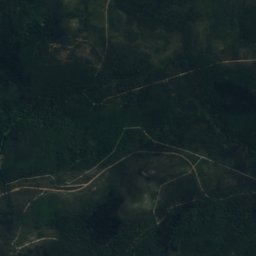
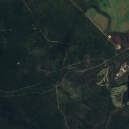
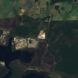
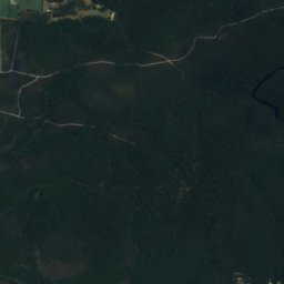
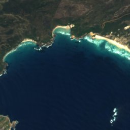
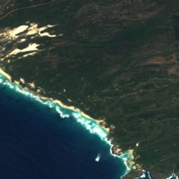
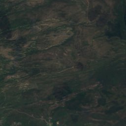
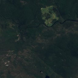
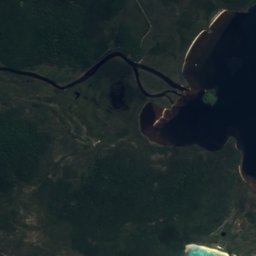
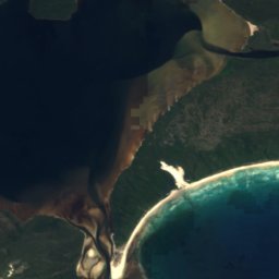
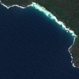
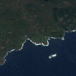
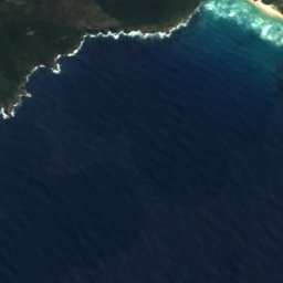
Circus Beach from above
Nature nearbyAll of Australia
Satellite: Sentinel-2 cloudless 2016 by EOX IT Services GmbH · CC BY 4.0 · Contains modified Copernicus Sentinel data 2016
Satellite: Sentinel-2 cloudless 2016 by EOX IT Services GmbH · CC BY 4.0 · Contains modified Copernicus Sentinel data 2016
Satellite: Sentinel-2 cloudless 2016 by EOX IT Services GmbH · CC BY 4.0 · Contains modified Copernicus Sentinel data 2016
Satellite: Sentinel-2 cloudless 2016 by EOX IT Services GmbH · CC BY 4.0 · Contains modified Copernicus Sentinel data 2016

Satellite: Sentinel-2 cloudless 2016 by EOX IT Services GmbH · CC BY 4.0 · Contains modified Copernicus Sentinel data 2016
Around here
Walpole and around

Nature

Photo: The original uploader was Tirin at English Wikipedia. · CC BY-SA 3.0 · Wikimedia CommonsReport this photo · linked, not stored
Walpole-Nornalup National Park
National park · 153 m


Photo: Sam Wilson (taken with Panasonic Lumix DMC-FT1) · CC BY-SA 2.0 · Wikimedia CommonsReport this photo · linked, not stored
Frankland River, Western Australia
River
Mountains
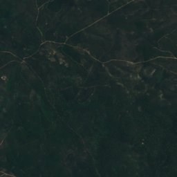
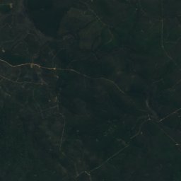


Satellite: Sentinel-2 cloudless 2016 by EOX IT Services GmbH · CC BY 4.0 · Contains modified Copernicus Sentinel data 2016
Granite Peak
387 m