
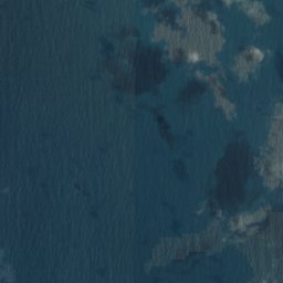


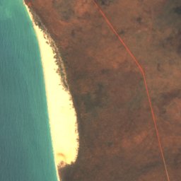
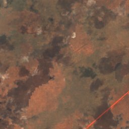
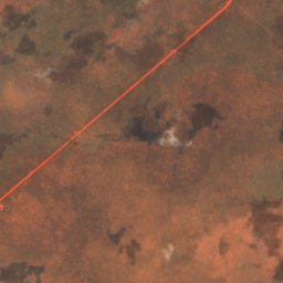

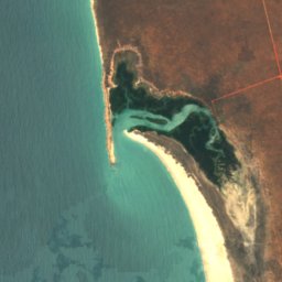
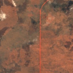
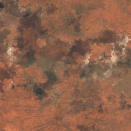
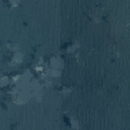


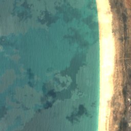
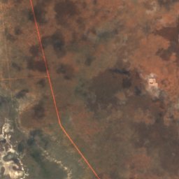
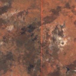
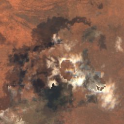

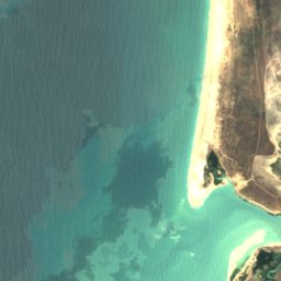
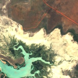
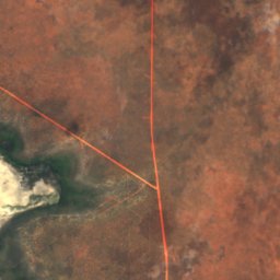
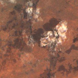


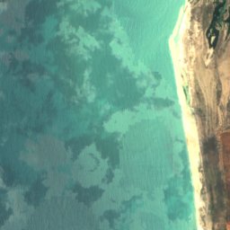
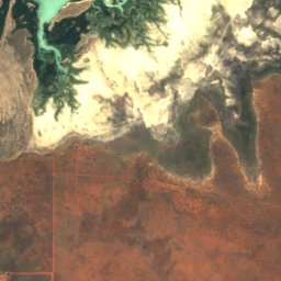
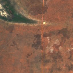
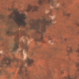

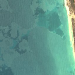
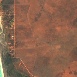
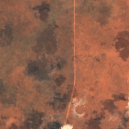
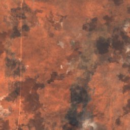
Satellite: Sentinel-2 cloudless 2016 by EOX IT Services GmbH · CC BY 4.0 · Contains modified Copernicus Sentinel data 2016

Photo: Zoharby · CC BY-SA 3.0 · Wikimedia Commons
Cable Beach, BroomeReport this photo · linked, not stored
Cable Beach, BroomeCable Beach, BroomeReport this photo · linked, not stored
IslandBroome, Western Australia
Cary Patch
IslandBest Jun–Aug
Elevation–above sea level
Area–surface
Nearest townBroome24 km
17.75° S, 122.18° EUTC+8 · Australian Western Standard Time
When to goBroome · weather score
Best timeJun–Aug
October: high / low33° / 24°
Island
Cary Patch in brief
Cary Patch is an island in Broome, Western Australia, Australia.
The nearest town is Broome, 24 km to the S, where the weather is best in June, July and August.
Weather nearby now
Forecast for Broome27°
Sunny now
Today
25 Oct
27°
27°
Mon
26 Oct
27°
26°
Tue
27 Oct
28°
27°
Wed
28 Oct
27°
26°
Thu
29 Oct
26°
26°
Model run 12:00 UTCRefreshed several times a day
Map
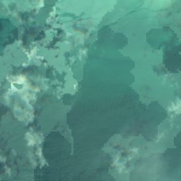
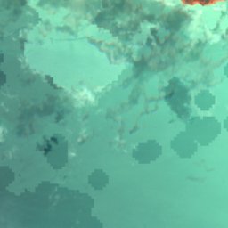
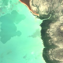
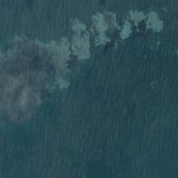
Cary Patch from above
Nature nearbyAll of Australia

Around here
Broome and around

Nature
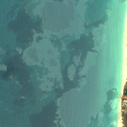
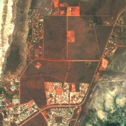
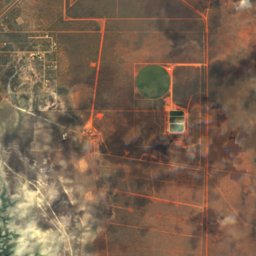
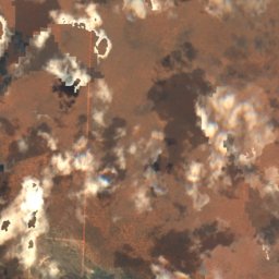
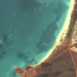
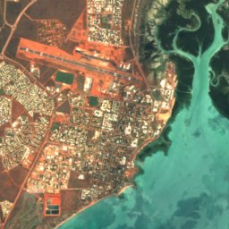
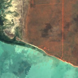
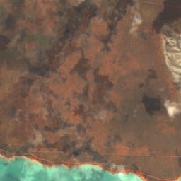
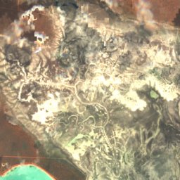
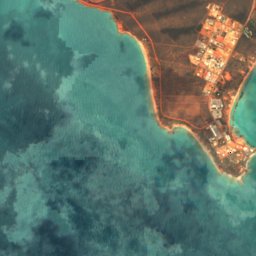
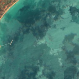
Satellite: Sentinel-2 cloudless 2016 by EOX IT Services GmbH · CC BY 4.0 · Contains modified Copernicus Sentinel data 2016
Black Ledge, Western Australia
Island





Satellite: Sentinel-2 cloudless 2016 by EOX IT Services GmbH · CC BY 4.0 · Contains modified Copernicus Sentinel data 2016
Riddell Beach
Beach · 1 m
Heritage

Photo: Photographs by Gnangarra...commons.wikimedia.org · CC BY 2.5 au · Wikimedia CommonsReport this photo · linked, not stored

Broome Cable House
State Registered Place

Photo: Photographs by Gnangarra...commons.wikimedia.org · CC BY 2.5 au · Wikimedia CommonsReport this photo · linked, not stored

Sun Picture Gardens
State Registered Place


Anglican Church of the Annunciation, Broome
State Registered Place