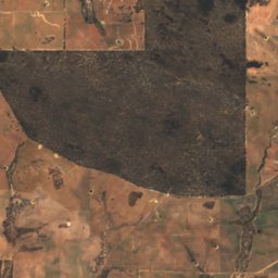
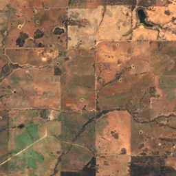
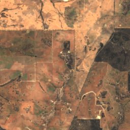
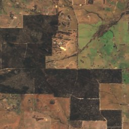
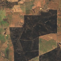
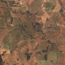
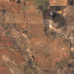
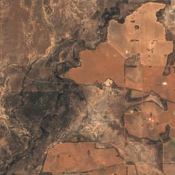
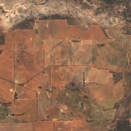
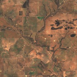
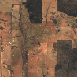
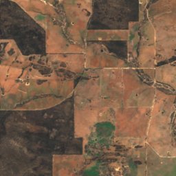
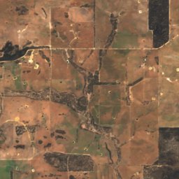
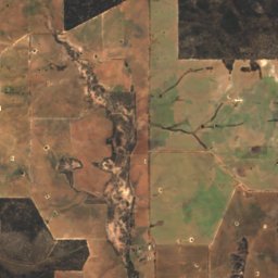
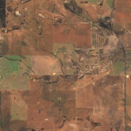
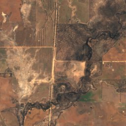
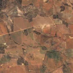
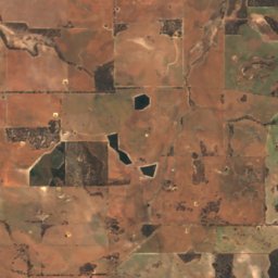
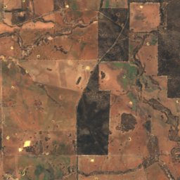
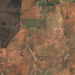
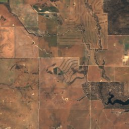
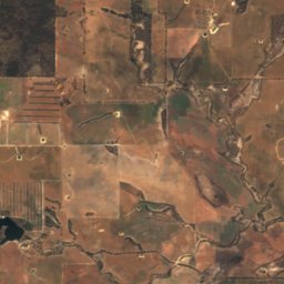
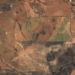
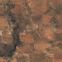
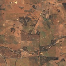
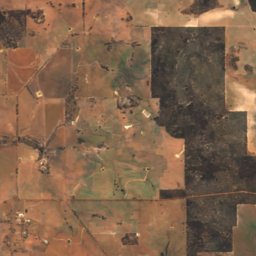
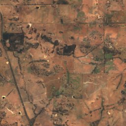
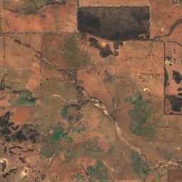
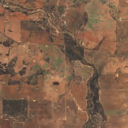
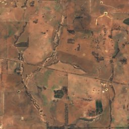
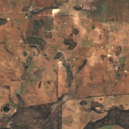
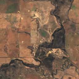
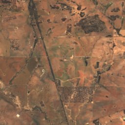
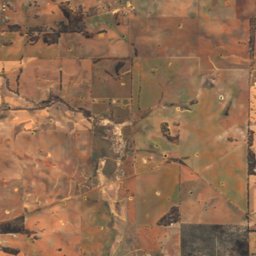
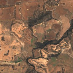
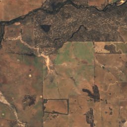
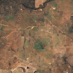
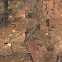
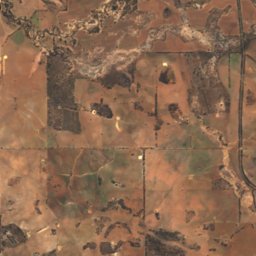
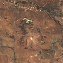
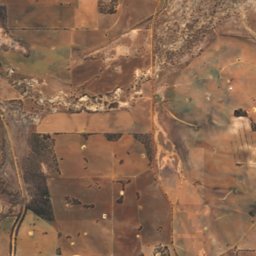
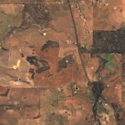
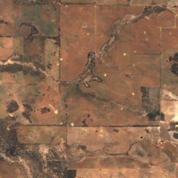
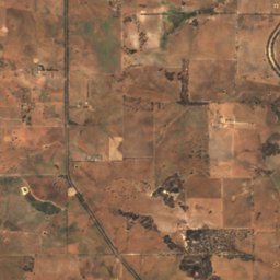
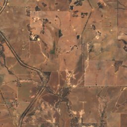
Satellite: Sentinel-2 cloudless 2016 by EOX IT Services GmbH · CC BY 4.0 · Contains modified Copernicus Sentinel data 2016

Photo: Hughesdarren · CC BY-SA 4.0 · Wikimedia Commons
Wagin LakeReport this photo · linked, not stored
Wagin LakeWagin LakeReport this photo · linked, not stored

Photo: Hughesdarren · CC BY-SA 4.0 · Wikimedia Commons
Parkeyerring LakeReport this photo · linked, not stored
Parkeyerring LakeParkeyerring LakeReport this photo · linked, not stored

Photo: Calistemon · CC BY-SA 4.0 · Wikimedia Commons
Arthur River, Western AustraliaReport this photo · linked, not stored
Arthur River, Western AustraliaArthur River, Western AustraliaReport this photo · linked, not stored
RiverWagin, Western Australia
Buchanan River
RiverBest Apr · Nov–Dec
Elevation–above sea level
Length35 kmsource to mouth
Nearest townWagin16 km
33.21° S, 117.22° EUTC+8 · Australian Western Standard Time
When to goWagin · weather score
Best timeApr · Nov–Dec
October: high / low20° / 9°
River
Buchanan River in brief
Buchanan River is a river in Wagin, Western Australia, Australia.
The nearest town in the atlas is Wagin, 16 km to the SE, where the weather is best in April, November and December.
Buchanan River is 35 km long.
Weather nearby now
Forecast for Wagin10°
Clear now
Today
22 Oct
18°
10°
Fri
23 Oct
15°
7°
2 mm
Sat
24 Oct
15°
4°
Sun
25 Oct
16°
5°
Mon
26 Oct
18°
8°
Model run 00:00 UTCRefreshed several times a day
When to go
Climate of WaginThe best months around Buchanan River
Month score in Wagin
Comfort, dry days and sunshine · out of 10080
Jan
79
Feb
82
Mar
86
Apr
75
May
55
Jun
47
Jul
53
Aug
72
Sep
84
Oct
90
Nov
89
Dec
Map
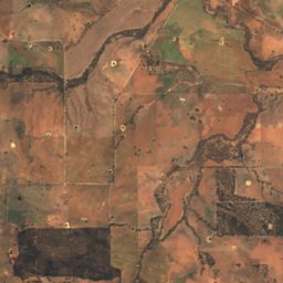
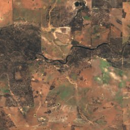
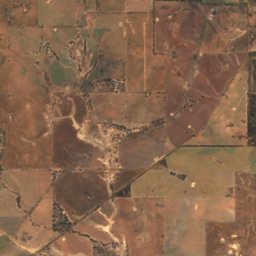
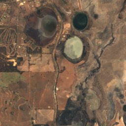
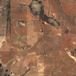
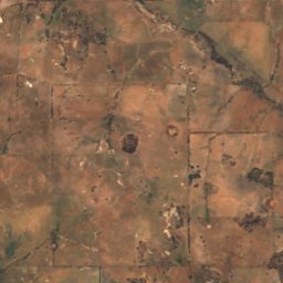
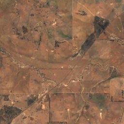
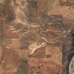
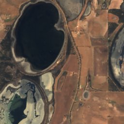
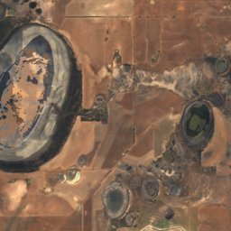
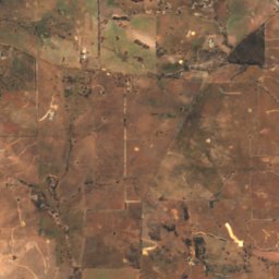
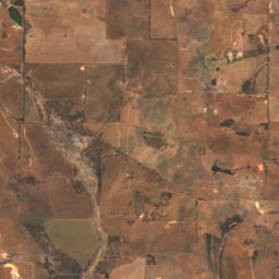
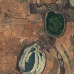
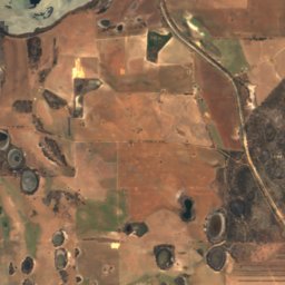
Buchanan River from above
Nature nearbyAll of Australia


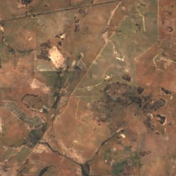
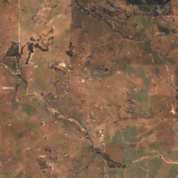
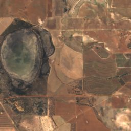
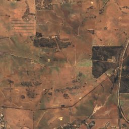
Satellite: Sentinel-2 cloudless 2016 by EOX IT Services GmbH · CC BY 4.0 · Contains modified Copernicus Sentinel data 2016
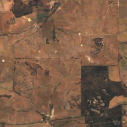
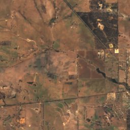
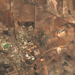
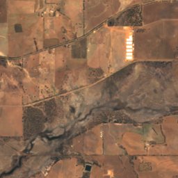
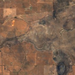
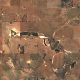
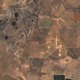
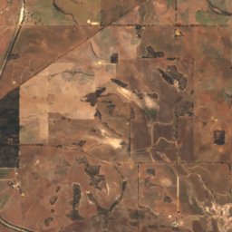
Satellite: Sentinel-2 cloudless 2016 by EOX IT Services GmbH · CC BY 4.0 · Contains modified Copernicus Sentinel data 2016
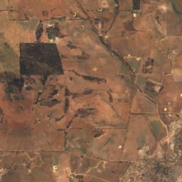
Satellite: Sentinel-2 cloudless 2016 by EOX IT Services GmbH · CC BY 4.0 · Contains modified Copernicus Sentinel data 2016
Stay nearby
Towns close by


Photo: Photographs by Gnangarra...commons.wikimedia.org · CC BY 3.0 au · Wikimedia CommonsReport this photo · linked, not stored

Narrogin
Western Australia · 31 km N
20°Oct high
7wet days
84score
Around here
Wagin and around
Nature
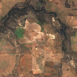
Satellite: Sentinel-2 cloudless 2016 by EOX IT Services GmbH · CC BY 4.0 · Contains modified Copernicus Sentinel data 2016
Little Parkeyerring Lake
Lake · 249 m