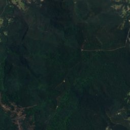
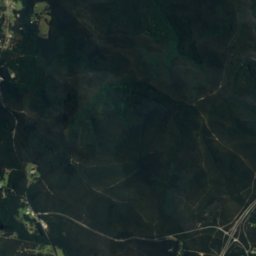
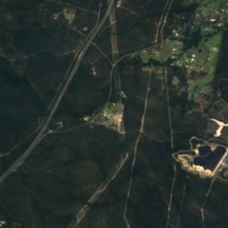
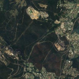
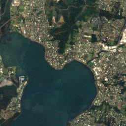
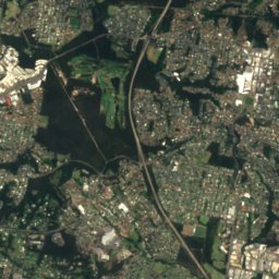
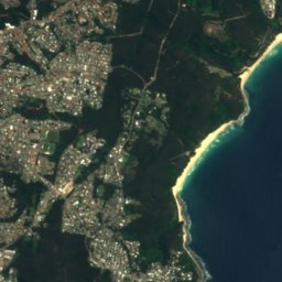

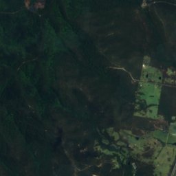
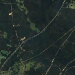
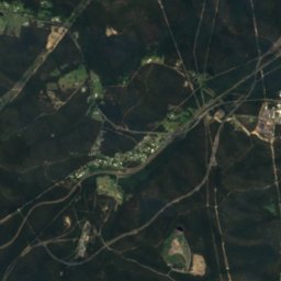
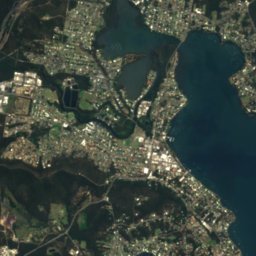
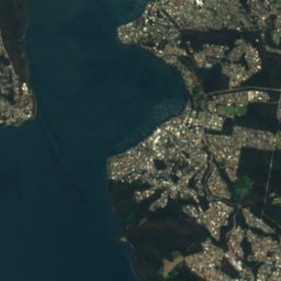
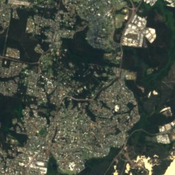
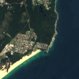


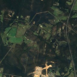
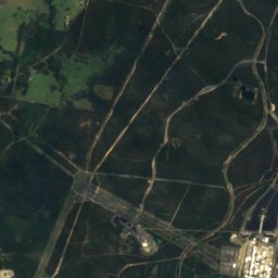
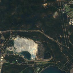
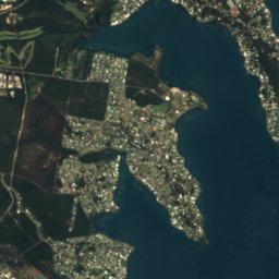
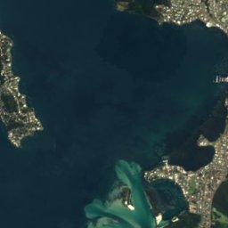



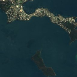
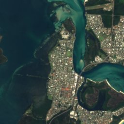
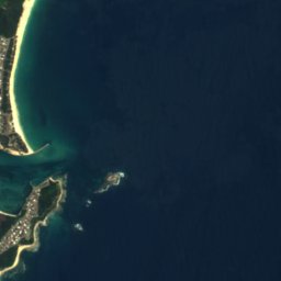



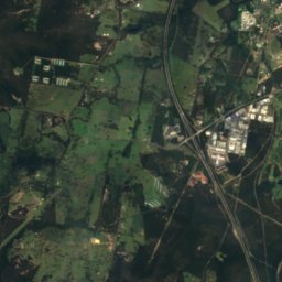
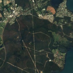
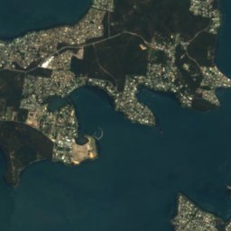
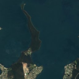
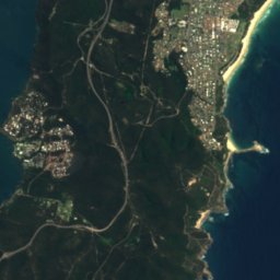



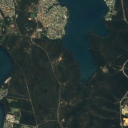
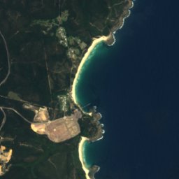




Satellite: Sentinel-2 cloudless 2016 by EOX IT Services GmbH · CC BY 4.0 · Contains modified Copernicus Sentinel data 2016
BeachToronto, New South Wales
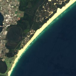
Blacksmiths Beach
BeachBest Jun · Aug–Sep
Elevation–above sea level
Sea, warmest23°CFebruary
Nearest townToronto11 km
33.08° S, 151.66° EUTC+11 · Australian Eastern Daylight Time
When to goToronto · weather score
Best timeJun · Aug–Sep
October: high / low21° / 15°
Beach
Blacksmiths Beach in brief
Blacksmiths Beach is a beach in Toronto, New South Wales, Australia.
The nearest town in the atlas is Toronto, 11 km to the NW, where the weather is best in June, August and September.
The sea is warmest in February, at about 23°C.
Weather nearby now
Forecast for Toronto17°
Cloudy now
Today
23 Oct
22°
17°
3 mm
Sat
24 Oct
27°
17°
Sun
25 Oct
29°
20°
1 mm
Mon
26 Oct
20°
16°
4 mm
Tue
27 Oct
20°
15°
3 mm
Model run 00:00 UTCRefreshed several times a day
Sea and air through the year
Sea surface temperature off the coast and the average daily high in Toronto, month by month.Jan23°25°
Feb23°25°
Mar23°23°
Apr22°22°
May21°19°
Jun20°17°
Jul19°16°
Aug18°17°
Sep18°19°
Oct19°21°
Nov20°22°
Dec21°24°
seaair, daily high
When to go
Climate of TorontoThe best months around Blacksmiths Beach
Month score in Toronto
Comfort, dry days and sunshine · out of 10066
Jan
66
Feb
67
Mar
76
Apr
73
May
77
Jun
68
Jul
77
Aug
84
Sep
75
Oct
68
Nov
71
Dec
Map
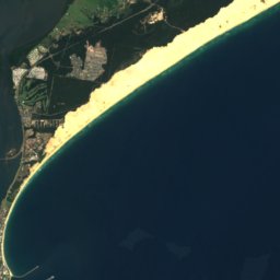
Blacksmiths Beach from above
Nature nearbyAll of Australia
Satellite: Sentinel-2 cloudless 2016 by EOX IT Services GmbH · CC BY 4.0 · Contains modified Copernicus Sentinel data 2016
Satellite: Sentinel-2 cloudless 2016 by EOX IT Services GmbH · CC BY 4.0 · Contains modified Copernicus Sentinel data 2016
Satellite: Sentinel-2 cloudless 2016 by EOX IT Services GmbH · CC BY 4.0 · Contains modified Copernicus Sentinel data 2016
Satellite: Sentinel-2 cloudless 2016 by EOX IT Services GmbH · CC BY 4.0 · Contains modified Copernicus Sentinel data 2016
Satellite: Sentinel-2 cloudless 2016 by EOX IT Services GmbH · CC BY 4.0 · Contains modified Copernicus Sentinel data 2016
Satellite: Sentinel-2 cloudless 2016 by EOX IT Services GmbH · CC BY 4.0 · Contains modified Copernicus Sentinel data 2016
Stay nearby
Towns close by

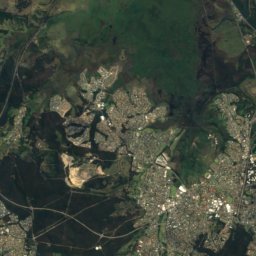
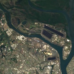
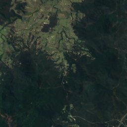
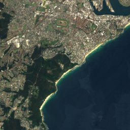
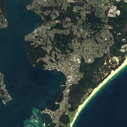

Satellite: Sentinel-2 cloudless 2016 by EOX IT Services GmbH · CC BY 4.0 · Contains modified Copernicus Sentinel data 2016
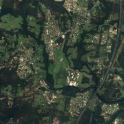
Whitebridge
New South Wales · 13 km NE
20°Oct high
11wet days
75score
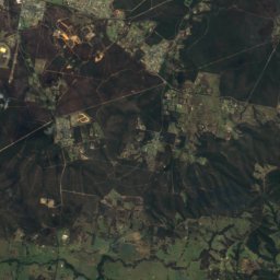
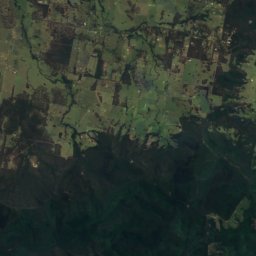
Satellite: Sentinel-2 cloudless 2016 by EOX IT Services GmbH · CC BY 4.0 · Contains modified Copernicus Sentinel data 2016
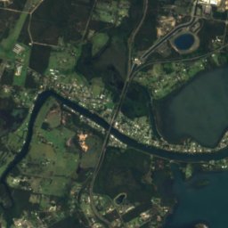
Teralba
New South Wales · 14 km NW
21°Oct high
11wet days
75score
Around here
Toronto and around
Nature


Satellite: Sentinel-2 cloudless 2016 by EOX IT Services GmbH · CC BY 4.0 · Contains modified Copernicus Sentinel data 2016
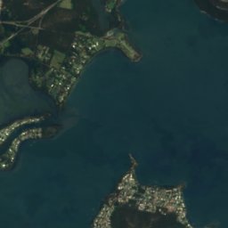
Whiteheads Lagoon
Lake · 7 m
Mountains
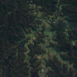
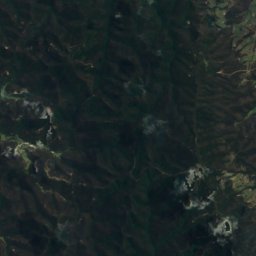
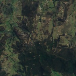
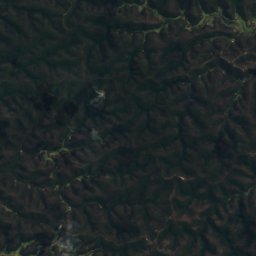
Satellite: Sentinel-2 cloudless 2016 by EOX IT Services GmbH · CC BY 4.0 · Contains modified Copernicus Sentinel data 2016
Mount Warrawolong
641 m · Watagan Mountains
Satellite: Sentinel-2 cloudless 2016 by EOX IT Services GmbH · CC BY 4.0 · Contains modified Copernicus Sentinel data 2016
Watagan Mountains
448 m

Heritage


Wallsend Railway Goods Shed
Heritage Act — State Heritage Register

Broadmeadow Locomotive Depot
Heritage Act — State Heritage Register
Museums
Satellite: Sentinel-2 cloudless 2016 by EOX IT Services GmbH · CC BY 4.0 · Contains modified Copernicus Sentinel data 2016
Museum of Art and Culture Lake Macquarie
Art museum


