






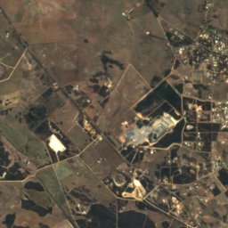
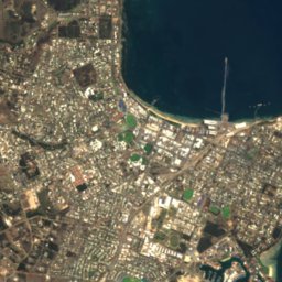
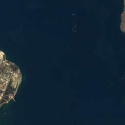
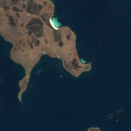







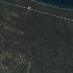
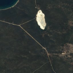
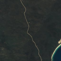
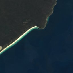



Satellite: Sentinel-2 cloudless 2016 by EOX IT Services GmbH · CC BY 4.0 · Contains modified Copernicus Sentinel data 2016
IslandPort Lincoln, South Australia
Bicker Isles
Island5 m elevationBest Jan–Mar
Elevation5 mabove sea level
Area0.2 km²surface
Nearest townPort Lincoln7.4 km
34.75° S, 135.95° EElevation 5 mUTC+10:30 · Australian Central Daylight Time
When to goPort Lincoln · weather score
Best timeJan–Mar
October: high / low18° / 13°
Island
Bicker Isles in brief
Bicker Isles is an island in Port Lincoln, South Australia, Australia.
It lies at 5 m above sea level and covers about 0.2 km².
The nearest town in the atlas is Port Lincoln, 7.4 km to the W, where the weather is best in January, February and March.
Weather nearby now
Forecast for Port Lincoln18°
Clear now
Today
23 Oct
22°
13°
2 mm
Sat
24 Oct
19°
12°
7 mm
Sun
25 Oct
15°
10°
3 mm
Mon
26 Oct
16°
9°
2 mm
Tue
27 Oct
16°
9°
4 mm
Model run 00:00 UTCRefreshed several times a day
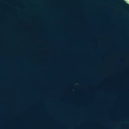
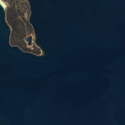
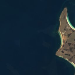
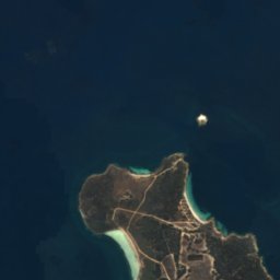
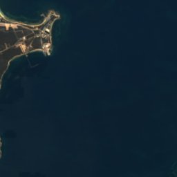
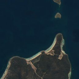
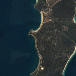
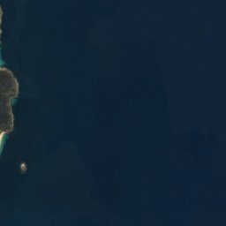
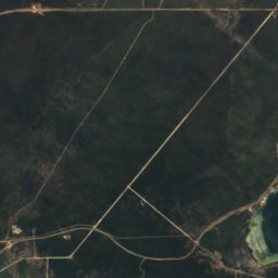
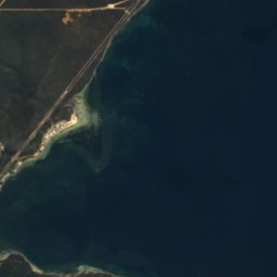
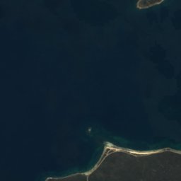
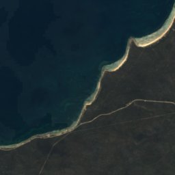
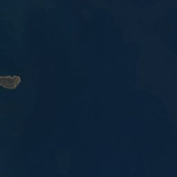
The island from above
0.2 km² · coastline as mapped in OpenStreetMapMap
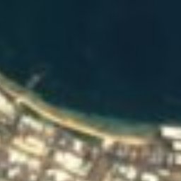
Bicker Isles from above
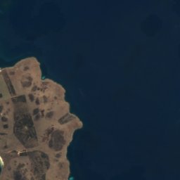
Nature nearbyAll of Australia
Satellite: Sentinel-2 cloudless 2016 by EOX IT Services GmbH · CC BY 4.0 · Contains modified Copernicus Sentinel data 2016
Satellite: Sentinel-2 cloudless 2016 by EOX IT Services GmbH · CC BY 4.0 · Contains modified Copernicus Sentinel data 2016
Satellite: Sentinel-2 cloudless 2016 by EOX IT Services GmbH · CC BY 4.0 · Contains modified Copernicus Sentinel data 2016
Satellite: Sentinel-2 cloudless 2016 by EOX IT Services GmbH · CC BY 4.0 · Contains modified Copernicus Sentinel data 2016
Satellite: Sentinel-2 cloudless 2016 by EOX IT Services GmbH · CC BY 4.0 · Contains modified Copernicus Sentinel data 2016
Satellite: Sentinel-2 cloudless 2016 by EOX IT Services GmbH · CC BY 4.0 · Contains modified Copernicus Sentinel data 2016
Stay nearby
Towns close by


Photo: Michael Coghlan from Adelaide, Australia · CC BY-SA 2.0 · Wikimedia CommonsReport this photo · linked, not stored
North Shields
South Australia · 16 km NW
19°Oct high
7wet days
83score
Around here
Port Lincoln and around
Nature
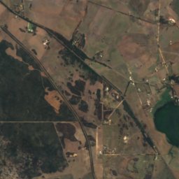
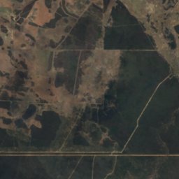
Satellite: Sentinel-2 cloudless 2016 by EOX IT Services GmbH · CC BY 4.0 · Contains modified Copernicus Sentinel data 2016
Pillie Lake
Lake

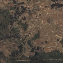
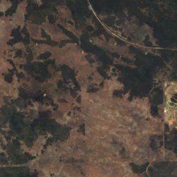
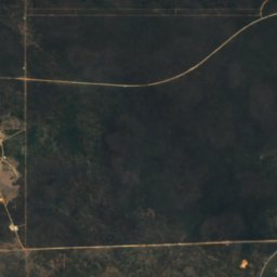
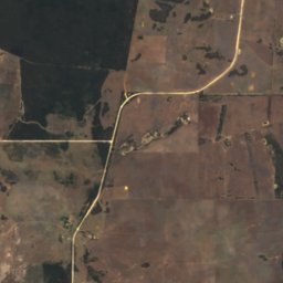
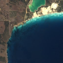
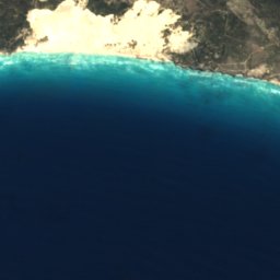
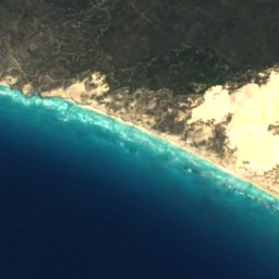
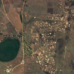
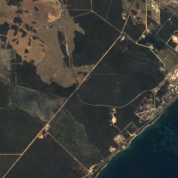
Satellite: Sentinel-2 cloudless 2016 by EOX IT Services GmbH · CC BY 4.0 · Contains modified Copernicus Sentinel data 2016
Sleaford Mere
Lake
Museums






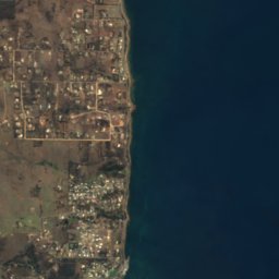
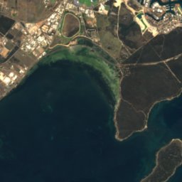
Satellite: Sentinel-2 cloudless 2016 by EOX IT Services GmbH · CC BY 4.0 · Contains modified Copernicus Sentinel data 2016
Eyre Pensinsula Railway Preservation Society
1999