
Photo: Mike Lehmann, Mike Switzerland 08:47, 23 December 2006 (UTC) · CC BY-SA 3.0 · Wikimedia Commons
Barron RiverReport this photo · linked, not stored
Barron RiverReport this photo · linked, not stored
RiverKuranda, Queensland
Barron River
RiverBest Aug–Oct
Elevation–above sea level
Length165 kmsource to mouth
Nearest townKuranda1.5 km
16.83° S, 145.64° EUTC+10 · Australian Eastern Standard Time
When to goKuranda · weather score
Best timeAug–Oct
October: high / low25° / 21°
River
Barron River in brief
Barron River is a river in Kuranda, Queensland, Australia.
The nearest town in the atlas is Kuranda, 1.5 km to the N, where the weather is best in August, September and October.
Barron River is 165 km long.
Weather nearby now
Forecast for Kuranda24°
Cloudy now
Today
23 Oct
26°
21°
Sat
24 Oct
26°
22°
4 mm
Sun
25 Oct
27°
22°
1 mm
Mon
26 Oct
26°
22°
Tue
27 Oct
27°
23°
2 mm
Model run 00:00 UTCRefreshed several times a day
When to go
Climate of KurandaThe best months around Barron River
Month score in Kuranda
Comfort, dry days and sunshine · out of 10049
Jan
47
Feb
56
Mar
65
Apr
66
May
79
Jun
80
Jul
83
Aug
82
Sep
89
Oct
79
Nov
54
Dec
Map
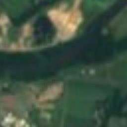
Barron River from above
Nature nearbyAll of Australia
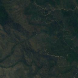
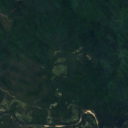
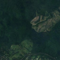
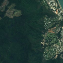
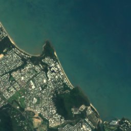
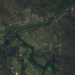
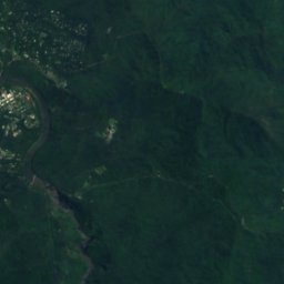
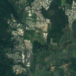
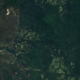
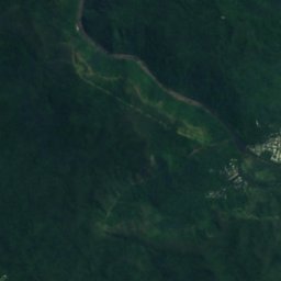
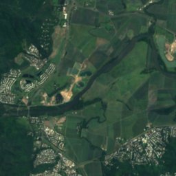
Satellite: Sentinel-2 cloudless 2016 by EOX IT Services GmbH · CC BY 4.0 · Contains modified Copernicus Sentinel data 2016
Satellite: Sentinel-2 cloudless 2016 by EOX IT Services GmbH · CC BY 4.0 · Contains modified Copernicus Sentinel data 2016
Satellite: Sentinel-2 cloudless 2016 by EOX IT Services GmbH · CC BY 4.0 · Contains modified Copernicus Sentinel data 2016
Satellite: Sentinel-2 cloudless 2016 by EOX IT Services GmbH · CC BY 4.0 · Contains modified Copernicus Sentinel data 2016
Satellite: Sentinel-2 cloudless 2016 by EOX IT Services GmbH · CC BY 4.0 · Contains modified Copernicus Sentinel data 2016
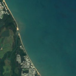
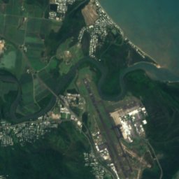
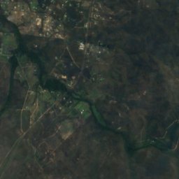
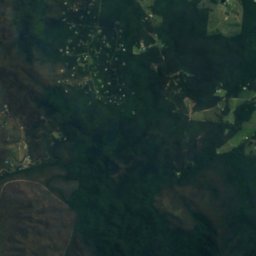
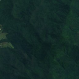
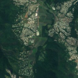
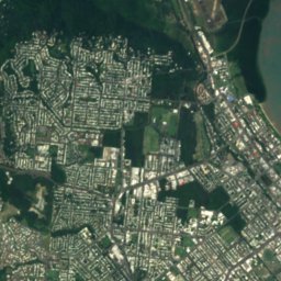
Satellite: Sentinel-2 cloudless 2016 by EOX IT Services GmbH · CC BY 4.0 · Contains modified Copernicus Sentinel data 2016
Stay nearby
Towns close by


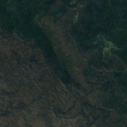
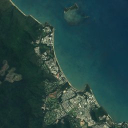


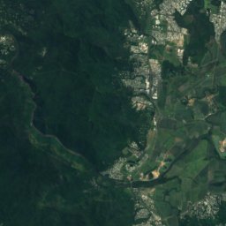
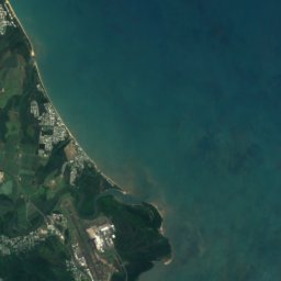

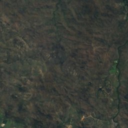
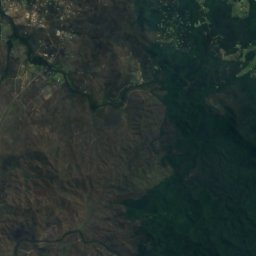
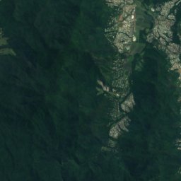
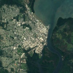
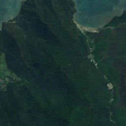
Satellite: Sentinel-2 cloudless 2016 by EOX IT Services GmbH · CC BY 4.0 · Contains modified Copernicus Sentinel data 2016
Redlynch
Queensland · 12 km SE
27°Oct high
5wet days
82score

Around here
Kuranda and around
Nature
Satellite: Sentinel-2 cloudless 2016 by EOX IT Services GmbH · CC BY 4.0 · Contains modified Copernicus Sentinel data 2016
Barron Gorge National Park
National park · 238 m
Satellite: Sentinel-2 cloudless 2016 by EOX IT Services GmbH · CC BY 4.0 · Contains modified Copernicus Sentinel data 2016
Barron Falls
Waterfall · 289 m
Satellite: Sentinel-2 cloudless 2016 by EOX IT Services GmbH · CC BY 4.0 · Contains modified Copernicus Sentinel data 2016
Stoney Creek Falls
Waterfall
Mountains

Photo: Hughesdarren at English Wikipedia · Public domain · Wikimedia CommonsReport this photo · linked, not stored
Walshs Pyramid
922 m
Heritage
Satellite: Sentinel-2 cloudless 2016 by EOX IT Services GmbH · CC BY 4.0 · Contains modified Copernicus Sentinel data 2016
Kuranda Fig Tree Avenue
listed on the Queensland Heritage Register






Satellite: Sentinel-2 cloudless 2016 by EOX IT Services GmbH · CC BY 4.0 · Contains modified Copernicus Sentinel data 2016
Second Innisfail Court House
listed on the Queensland Heritage Register
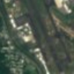
Satellite: Sentinel-2 cloudless 2016 by EOX IT Services GmbH · CC BY 4.0 · Contains modified Copernicus Sentinel data 2016
Flecker Botanical Gardens
listed on the Queensland Heritage Register
Museums

Australian Armour and Artillery Museum
Military museum


Satellite: Sentinel-2 cloudless 2016 by EOX IT Services GmbH · CC BY 4.0 · Contains modified Copernicus Sentinel data 2016
Kuranda Scenic Railway
Heritage railway
Satellite: Sentinel-2 cloudless 2016 by EOX IT Services GmbH · CC BY 4.0 · Contains modified Copernicus Sentinel data 2016
Cairns Botanic Gardens Visitor Centre
Visitor center · 2011