
Photo: Peterdownunder · CC BY-SA 3.0 · Wikimedia Commons
Anglesea RiverReport this photo · linked, not stored
Anglesea RiverReport this photo · linked, not stored

Photo: Michael J Fromholtz · CC BY-SA 4.0 · Wikimedia Commons
Bells BeachReport this photo · linked, not stored
Bells BeachBells BeachReport this photo · linked, not stored
 Eagle Rock

Photo: Sarah Zacharia · CC BY-SA 4.0 · Wikimedia Commons
Table RockReport this photo · linked, not stored
Table RockTable RockReport this photo · linked, not stored
RiverAnglesea, Victoria
Anglesea River
RiverBest Feb–Mar · Dec
Elevation–above sea level
Area–surface
Nearest townAnglesea0.6 km
38.41° S, 144.19° EUTC+11 · Australian Eastern Daylight Time
When to goAnglesea · weather score
Best timeFeb–Mar · Dec
October: high / low16° / 11°
River
Anglesea River in brief
Anglesea River is a river in Anglesea, Victoria, Australia.
The nearest town in the atlas is Anglesea, 0.6 km to the NW, where the weather is best in February, March and December.
Weather nearby now
Forecast for Anglesea18°
Clear now
Today
23 Oct
25°
16°
1 mm
Sat
24 Oct
17°
15°
8 mm
Sun
25 Oct
16°
12°
21 mm
Mon
26 Oct
14°
10°
Tue
27 Oct
15°
10°
Model run 00:00 UTCRefreshed several times a day
When to go
Climate of AngleseaThe best months around Anglesea River
Month score in Anglesea
Comfort, dry days and sunshine · out of 10078
Jan
89
Feb
81
Mar
77
Apr
63
May
45
Jun
42
Jul
45
Aug
56
Sep
57
Oct
66
Nov
79
Dec
Map
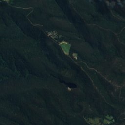
Anglesea River from above
Nature nearbyAll of Australia
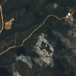
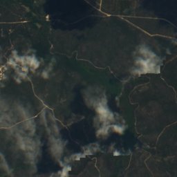
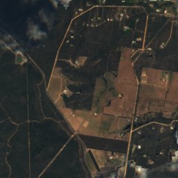
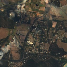
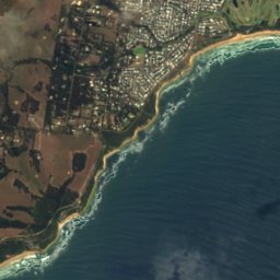
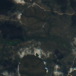
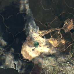
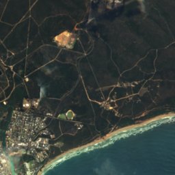
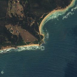
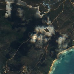
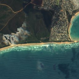
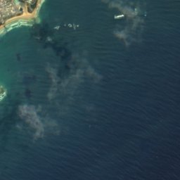

Satellite: Sentinel-2 cloudless 2016 by EOX IT Services GmbH · CC BY 4.0 · Contains modified Copernicus Sentinel data 2016
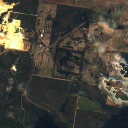
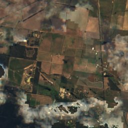
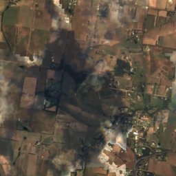
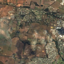
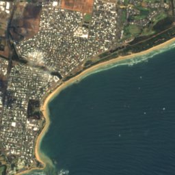
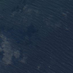
Satellite: Sentinel-2 cloudless 2016 by EOX IT Services GmbH · CC BY 4.0 · Contains modified Copernicus Sentinel data 2016
Satellite: Sentinel-2 cloudless 2016 by EOX IT Services GmbH · CC BY 4.0 · Contains modified Copernicus Sentinel data 2016


Stay nearby
Towns close by
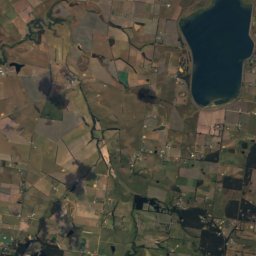
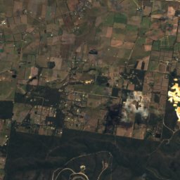
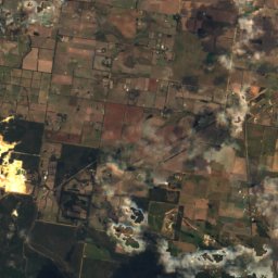
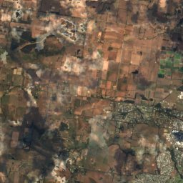
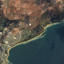
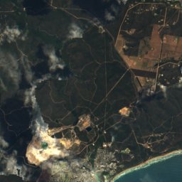
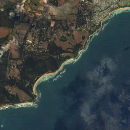
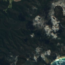
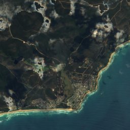
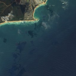
Satellite: Sentinel-2 cloudless 2016 by EOX IT Services GmbH · CC BY 4.0 · Contains modified Copernicus Sentinel data 2016
Anglesea
Victoria · 0.6 km NW
16°Oct high
12wet days
57score

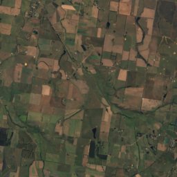
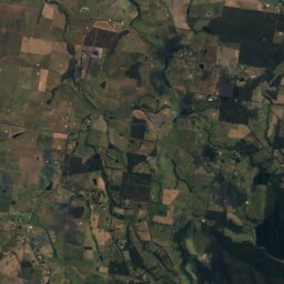
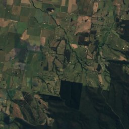
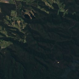
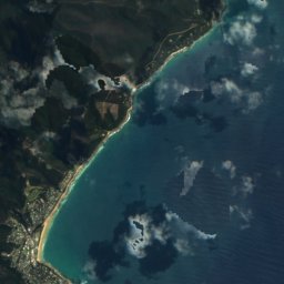
Satellite: Sentinel-2 cloudless 2016 by EOX IT Services GmbH · CC BY 4.0 · Contains modified Copernicus Sentinel data 2016
Fairhaven
Victoria · 10 km SW
16°Oct high
12wet days
56score

Photo: Earth Science and Remote Sensing Unit, Lyndon B. Johnson Space Center · Public domain · Wikimedia CommonsReport this photo · linked, not stored
Bellbrae
Victoria · 11 km NE
16°Oct high
12wet days
58score
Around here
Anglesea and around
Nature
Satellite: Sentinel-2 cloudless 2016 by EOX IT Services GmbH · CC BY 4.0 · Contains modified Copernicus Sentinel data 2016
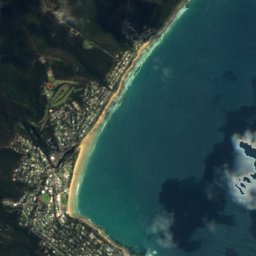
Point Addis Marine National Park
National park
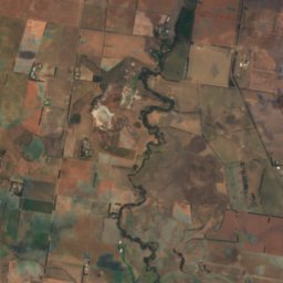
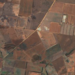
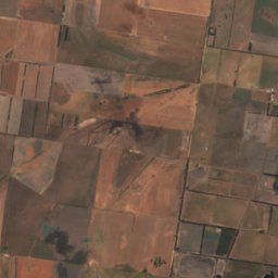
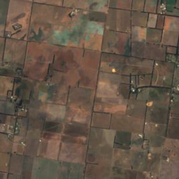
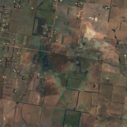
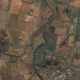
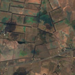
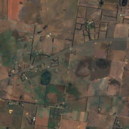
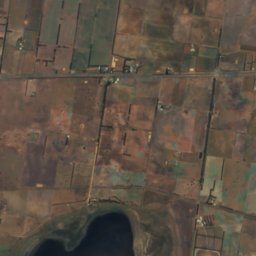
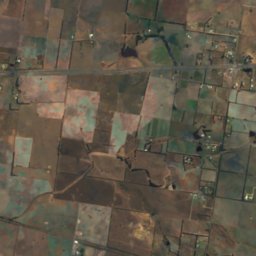
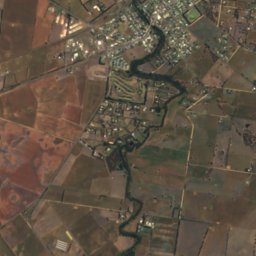
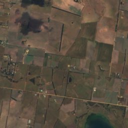
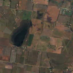
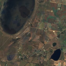
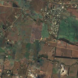
Satellite: Sentinel-2 cloudless 2016 by EOX IT Services GmbH · CC BY 4.0 · Contains modified Copernicus Sentinel data 2016
Lake Modewarre
Lake · 111 m
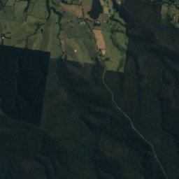
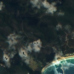
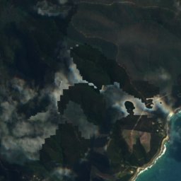
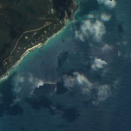
Satellite: Sentinel-2 cloudless 2016 by EOX IT Services GmbH · CC BY 4.0 · Contains modified Copernicus Sentinel data 2016
Waterlilly Pond
Lake · 53 m
Heritage

Photo: Mike Lehmann, Mike Switzerland · CC BY-SA 3.0 · Wikimedia CommonsReport this photo · linked, not stored
Split Point Lighthouse
listed on the Victorian Heritage Register · 1891
Satellite: Sentinel-2 cloudless 2016 by EOX IT Services GmbH · CC BY 4.0 · Contains modified Copernicus Sentinel data 2016
Great Ocean Road
listed on the Victorian Heritage Register · 1932
Museums





Satellite: Sentinel-2 cloudless 2016 by EOX IT Services GmbH · CC BY 4.0 · Contains modified Copernicus Sentinel data 2016
Australian National Surfing Museum
1993