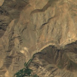
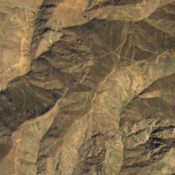
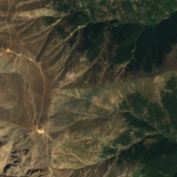
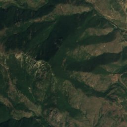
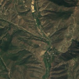
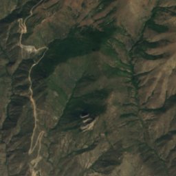
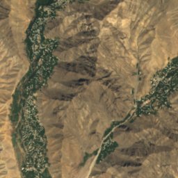
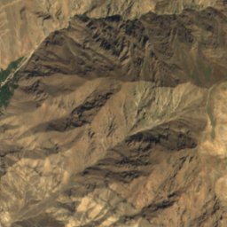
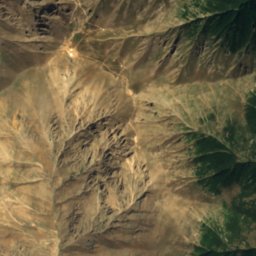
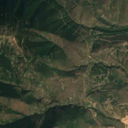
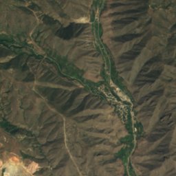
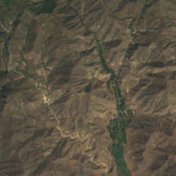
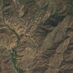
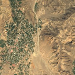
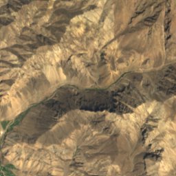
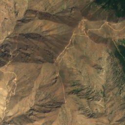
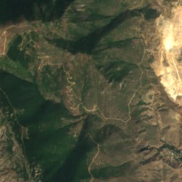
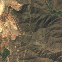
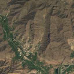
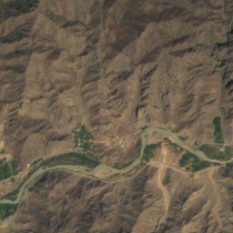
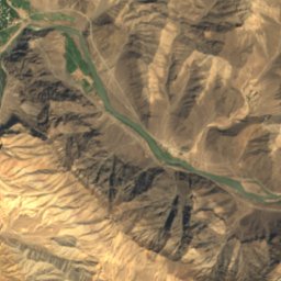
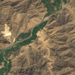
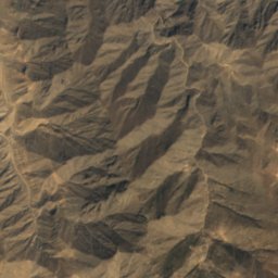
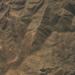
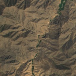
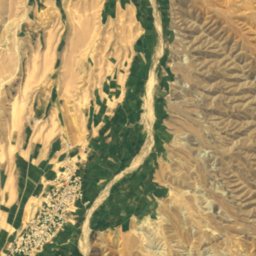
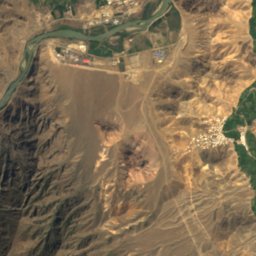
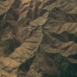
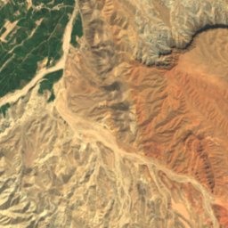
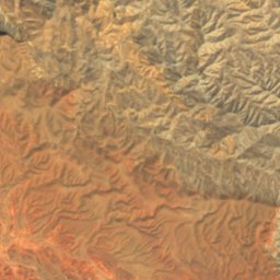
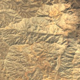
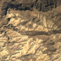
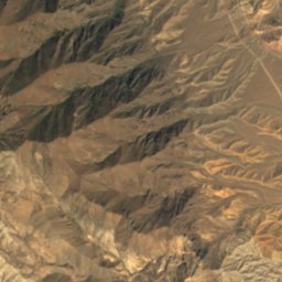
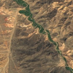
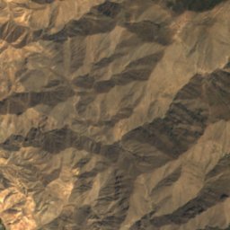
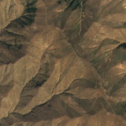
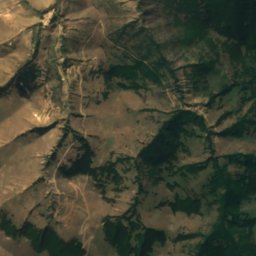
Satellite: Sentinel-2 cloudless 2016 by EOX IT Services GmbH · CC BY 4.0 · Contains modified Copernicus Sentinel data 2016
 Duzal
RiverAgarak, Syunik
Karchevan
River552 m elevationBest Apr · Sep–Oct
Elevation552 mabove sea level
Length10 kmsource to mouth
Nearest townAgarak1.6 km
38.86° N, 46.21° EElevation 552 mUTC+4 · Armenia Standard Time
When to goAgarak · weather score
Best timeApr · Sep–Oct
October: high / low22° / 12°
River
Karchevan in brief
Karchevan is a river in Agarak, Syunik, Armenia.
It lies at 552 m above sea level.
The nearest town in the atlas is Agarak, 1.6 km to the NW, where the weather is best in April, September and October.
Karchevan is 10 km long.
Weather nearby now
Forecast for Agarak19°
Cloudy now
Today
22 Oct
23°
16°
1 mm
Fri
23 Oct
23°
14°
2 mm
Sat
24 Oct
20°
15°
1 mm
Sun
25 Oct
19°
13°
3 mm
Mon
26 Oct
22°
11°
Model run 00:00 UTCRefreshed several times a day
When to go
Climate of AgarakThe best months around Karchevan
Month score in Agarak
Comfort, dry days and sunshine · out of 10049
Jan
46
Feb
55
Mar
75
Apr
75
May
72
Jun
67
Jul
69
Aug
79
Sep
88
Oct
70
Nov
47
Dec
Map
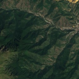
Karchevan from above
Nature nearbyAll of Armenia

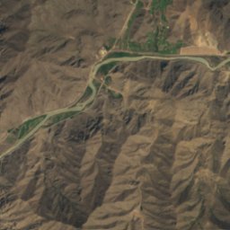
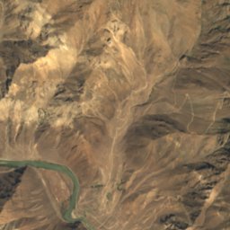
Satellite: Sentinel-2 cloudless 2016 by EOX IT Services GmbH · CC BY 4.0 · Contains modified Copernicus Sentinel data 2016
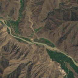
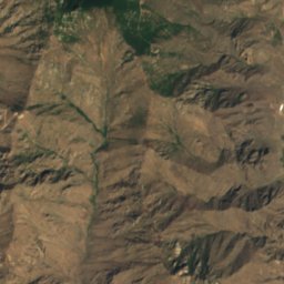
Satellite: Sentinel-2 cloudless 2016 by EOX IT Services GmbH · CC BY 4.0 · Contains modified Copernicus Sentinel data 2016
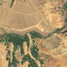
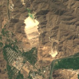
Satellite: Sentinel-2 cloudless 2016 by EOX IT Services GmbH · CC BY 4.0 · Contains modified Copernicus Sentinel data 2016
Satellite: Sentinel-2 cloudless 2016 by EOX IT Services GmbH · CC BY 4.0 · Contains modified Copernicus Sentinel data 2016
Summits nearbyMountains of Armenia
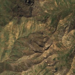
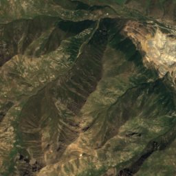
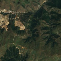
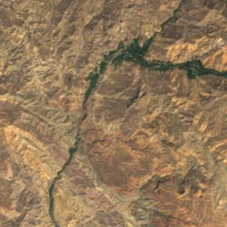
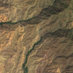
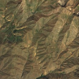
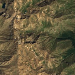
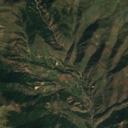
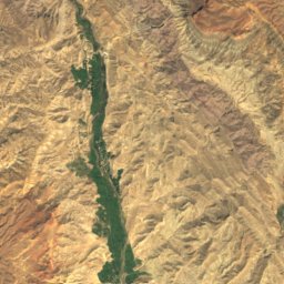
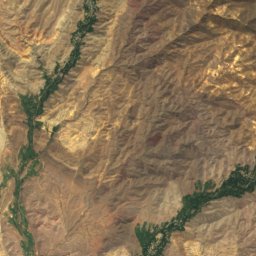
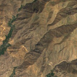
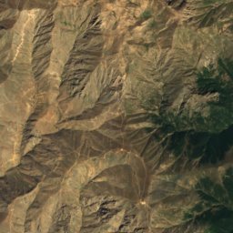
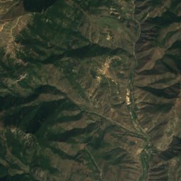
Satellite: Sentinel-2 cloudless 2016 by EOX IT Services GmbH · CC BY 4.0 · Contains modified Copernicus Sentinel data 2016
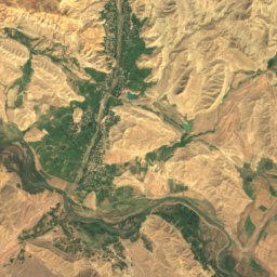
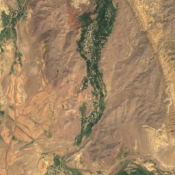
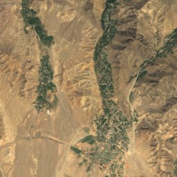
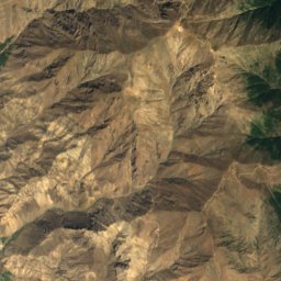
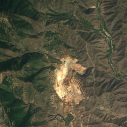
Satellite: Sentinel-2 cloudless 2016 by EOX IT Services GmbH · CC BY 4.0 · Contains modified Copernicus Sentinel data 2016
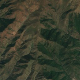
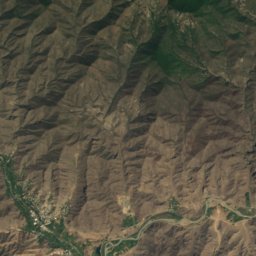
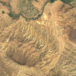
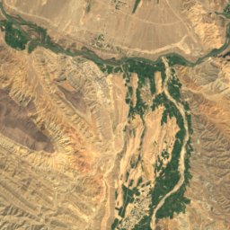
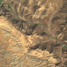
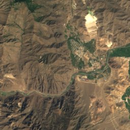
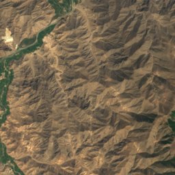
Satellite: Sentinel-2 cloudless 2016 by EOX IT Services GmbH · CC BY 4.0 · Contains modified Copernicus Sentinel data 2016
Satellite: Sentinel-2 cloudless 2016 by EOX IT Services GmbH · CC BY 4.0 · Contains modified Copernicus Sentinel data 2016
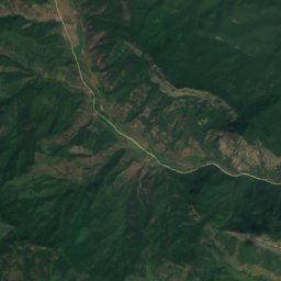
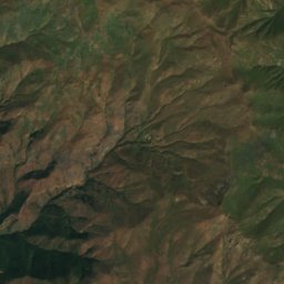
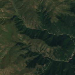
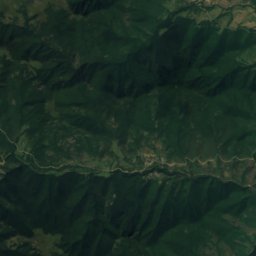
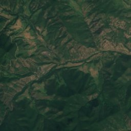
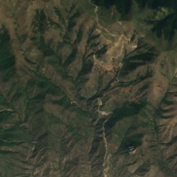
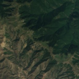
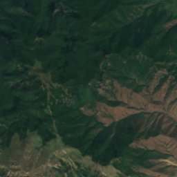
Satellite: Sentinel-2 cloudless 2016 by EOX IT Services GmbH · CC BY 4.0 · Contains modified Copernicus Sentinel data 2016
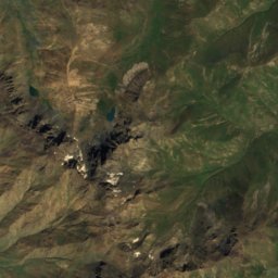
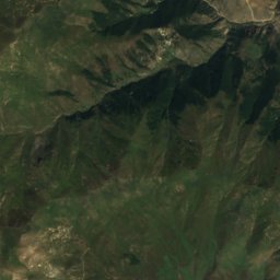
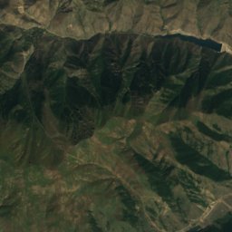
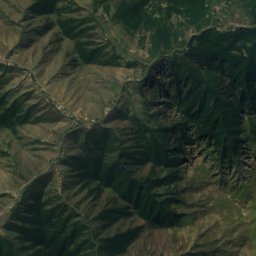
Stay nearby
Towns close by

Photo: Complied by Tagaworshah. Individual authors credited above. · CC BY-SA 4.0 · Wikimedia CommonsReport this photo · linked, not stored
Agarak
Syunik · 1.6 km NW
22°Oct high
5wet days
88score
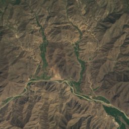
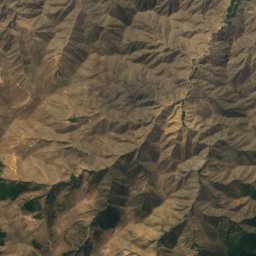
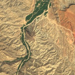
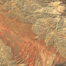
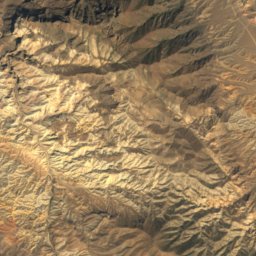
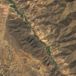
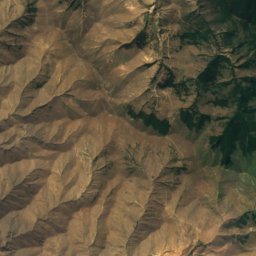
Satellite: Sentinel-2 cloudless 2016 by EOX IT Services GmbH · CC BY 4.0 · Contains modified Copernicus Sentinel data 2016
Nowjeh Mehr
East Azerbaijan · 2.5 km SE
22°Oct high
5wet days
88score

Around here
Agarak and around
Photo: Complied by Tagaworshah. Individual authors credited above. · CC BY-SA 4.0 · Wikimedia CommonsReport this photo · linked, not stored
Agarak
Syunik · Armenia
Apr · Sep–Octbest months
31°July high
629 maltitude
Nature
Satellite: Sentinel-2 cloudless 2016 by EOX IT Services GmbH · CC BY 4.0 · Contains modified Copernicus Sentinel data 2016
Meghri
River
Satellite: Sentinel-2 cloudless 2016 by EOX IT Services GmbH · CC BY 4.0 · Contains modified Copernicus Sentinel data 2016
Kantal National Park
National park
Mountains
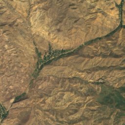
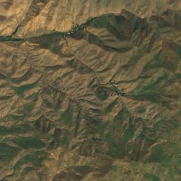
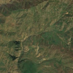
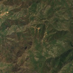
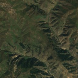
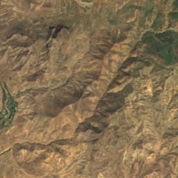
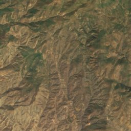
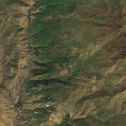
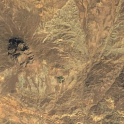
Satellite: Sentinel-2 cloudless 2016 by EOX IT Services GmbH · CC BY 4.0 · Contains modified Copernicus Sentinel data 2016
Mount Kaputjugh
3,904 m · Zangezur Mountains
Heritage

Photo: Well-read MountainMan · CC BY-SA 4.0 · Wikimedia CommonsReport this photo · linked, not stored
Surb Hovhannes Church, Meghri
cultural heritage monument in Armenia · 1700

Photo: Well-read MountainMan · CC BY-SA 4.0 · Wikimedia CommonsReport this photo · linked, not stored
Meghri Fortress
cultural heritage monument in Armenia · 1083


