
Photo: Mikko Koponen from Helsinki, Finland · CC BY 2.0 · Wikimedia Commons
El JuncoReport this photo · linked, not stored
El JuncoReport this photo · linked, not stored
LakeAdolfo Gonzales Chaves, Buenos Aires
El Junco
Lake659 m elevationBest Apr · Oct–Nov
Elevation659 mabove sea level
Area–surface
Nearest townAdolfo Gonzales Chaves20 km
37.89° S, 59.96° WElevation 659 mUTC−3 · Argentina Standard Time
When to goAdolfo Gonzales Chaves · weather score
Best timeApr · Oct–Nov
October: high / low19° / 9°
Lake
El Junco in brief
El Junco is a lake in Adolfo Gonzales Chaves, Buenos Aires, Argentina — lake.
It lies at 659 m above sea level.
The nearest town in the atlas is Adolfo Gonzales Chaves, 20 km to the SW, where the weather is best in April, October and November.
Weather nearby now
Forecast for Adolfo Gonzales Chaves19°
Cloudy now
Today
22 Oct
20°
9°
2 mm
Fri
23 Oct
18°
12°
4 mm
Sat
24 Oct
13°
10°
1 mm
Sun
25 Oct
12°
8°
1 mm
Mon
26 Oct
16°
5°
Model run 00:00 UTCRefreshed several times a day
When to go
Climate of Adolfo Gonzales ChavesThe best months around El Junco
Month score in Adolfo Gonzales Chaves
Comfort, dry days and sunshine · out of 10067
Jan
73
Feb
70
Mar
81
Apr
68
May
55
Jun
50
Jul
64
Aug
70
Sep
79
Oct
78
Nov
75
Dec
Map
El Junco from above
Nature nearbyAll of Argentina
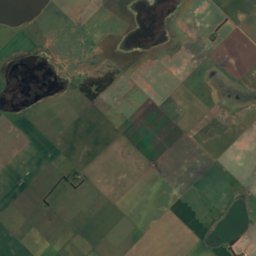
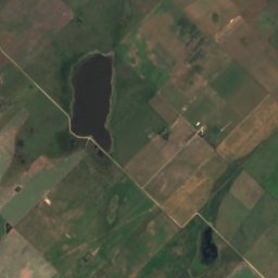
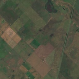
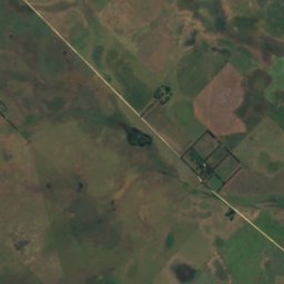
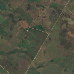
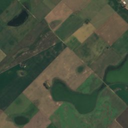
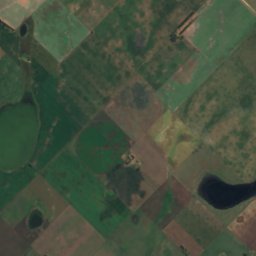
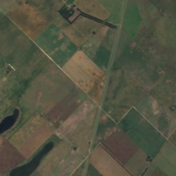
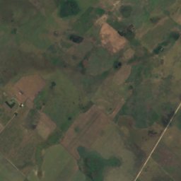
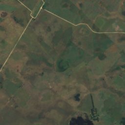
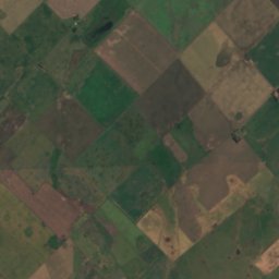
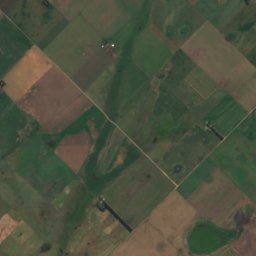
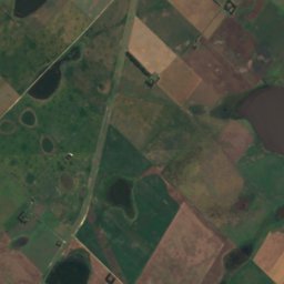
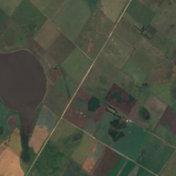
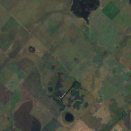
Satellite: Sentinel-2 cloudless 2016 by EOX IT Services GmbH · CC BY 4.0 · Contains modified Copernicus Sentinel data 2016
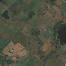
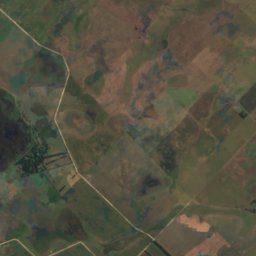
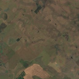
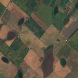
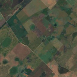
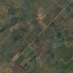
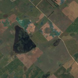
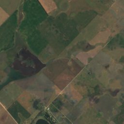
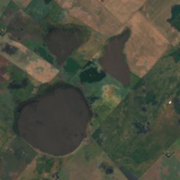
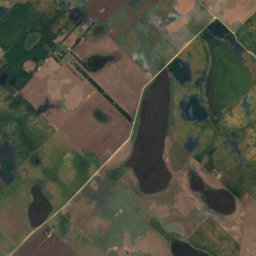
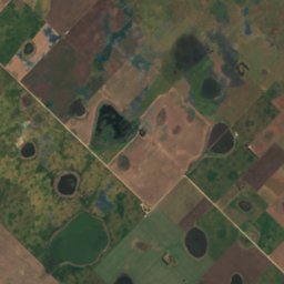
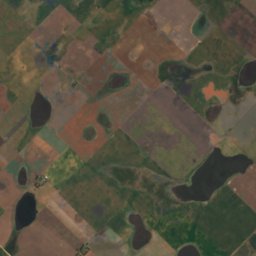
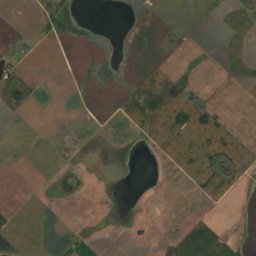
Satellite: Sentinel-2 cloudless 2016 by EOX IT Services GmbH · CC BY 4.0 · Contains modified Copernicus Sentinel data 2016
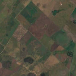
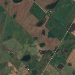
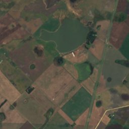
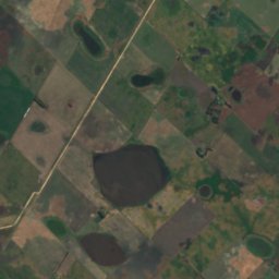
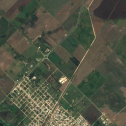
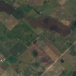
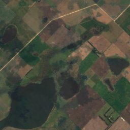
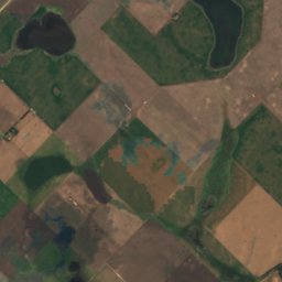
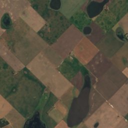
Satellite: Sentinel-2 cloudless 2016 by EOX IT Services GmbH · CC BY 4.0 · Contains modified Copernicus Sentinel data 2016
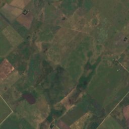
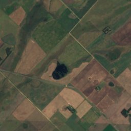
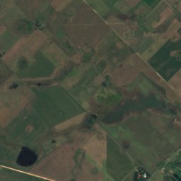
Satellite: Sentinel-2 cloudless 2016 by EOX IT Services GmbH · CC BY 4.0 · Contains modified Copernicus Sentinel data 2016
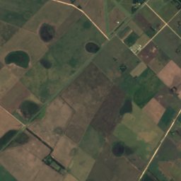
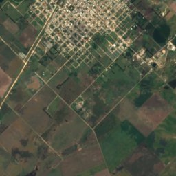
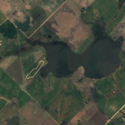
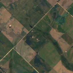
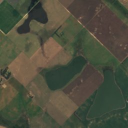
Satellite: Sentinel-2 cloudless 2016 by EOX IT Services GmbH · CC BY 4.0 · Contains modified Copernicus Sentinel data 2016
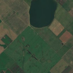
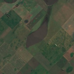
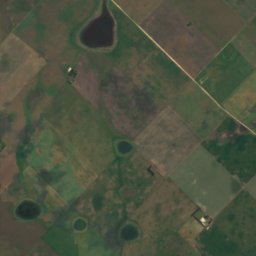
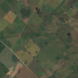
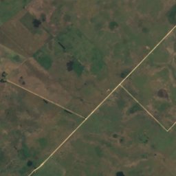
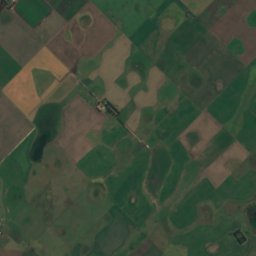
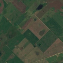
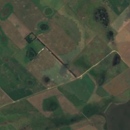
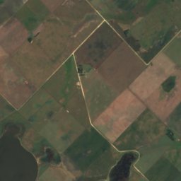
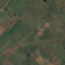
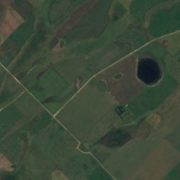
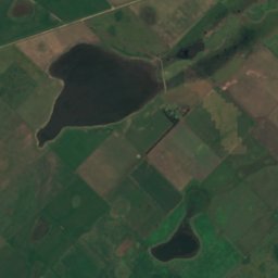
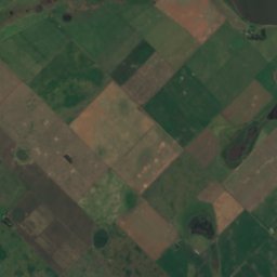

Satellite: Sentinel-2 cloudless 2016 by EOX IT Services GmbH · CC BY 4.0 · Contains modified Copernicus Sentinel data 2016
Around here
Adolfo Gonzales Chaves and around


Adolfo Gonzales Chaves
Buenos Aires · Argentina
Apr · Oct–Novbest months
12°July high
190 maltitude
Nature
Satellite: Sentinel-2 cloudless 2016 by EOX IT Services GmbH · CC BY 4.0 · Contains modified Copernicus Sentinel data 2016
Laguna Mitre
Lake · 190 m
Satellite: Sentinel-2 cloudless 2016 by EOX IT Services GmbH · CC BY 4.0 · Contains modified Copernicus Sentinel data 2016
Laguna La Blanca, Adolfo Gonzales Chaves
Lake · 196 m
Satellite: Sentinel-2 cloudless 2016 by EOX IT Services GmbH · CC BY 4.0 · Contains modified Copernicus Sentinel data 2016
Laguna La Blanea
Lake · 201 m