
 Kwanda Island
RiverSoyo, Zaire
River Congo
River32 m elevationBest Jun–Aug
Elevation32 mabove sea level
Length4,700 kmsource to mouth
Nearest townSoyo11 km
6.08° S, 12.45° EElevation 32 mUTC+1 · West Africa Time
When to goSoyo · weather score
Best timeJun–Aug
October: high / low25° / 24°
River
River Congo in brief
River Congo is a river in Soyo, Zaire, Angola — river in central Africa.
It lies at 32 m above sea level.
The nearest town in the atlas is Soyo, 11 km to the SW, where the weather is best in June, July and August.
River Congo is 4,700 km long.
Weather nearby now
Forecast for Soyo25°
Partly cloudy now
Today
22 Oct
26°
25°
2 mm
Fri
23 Oct
26°
25°
Sat
24 Oct
26°
25°
Sun
25 Oct
26°
25°
Mon
26 Oct
26°
25°
Model run 00:00 UTCRefreshed several times a day
The course of the river
As mapped in OpenStreetMap, with the towns of the atlas along its banks.- 1Kisangani400 m
- 2Loukoléla308 m
- 3Mossaka288 m
- 4Brazzaville284 m
- 5Boma11 m
sourcemouth (or where the mapped line leaves the country)
Map
River Congo from above
Nature nearbyAll of Angola


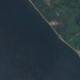
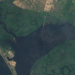
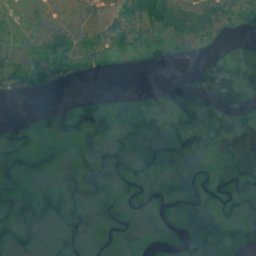



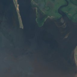
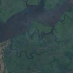

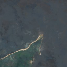


Satellite: Sentinel-2 cloudless 2016 by EOX IT Services GmbH · CC BY 4.0 · Contains modified Copernicus Sentinel data 2016


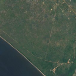
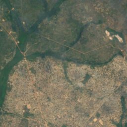



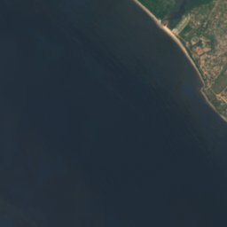
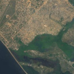


Satellite: Sentinel-2 cloudless 2016 by EOX IT Services GmbH · CC BY 4.0 · Contains modified Copernicus Sentinel data 2016
Stay nearby
Towns close by

Photo: unknown for picture taker (text: le commandant Cassart) · Public domain · Wikimedia CommonsReport this photo · linked, not stored
Moanda
Bas-Congo · 19 km NW
26°Oct high
16wet days
59score
Around here
Soyo and around
Nature



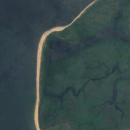
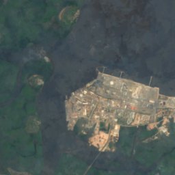
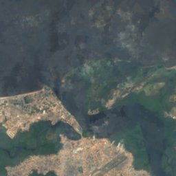


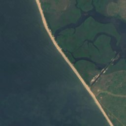
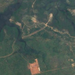
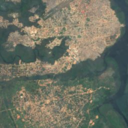


Satellite: Sentinel-2 cloudless 2016 by EOX IT Services GmbH · CC BY 4.0 · Contains modified Copernicus Sentinel data 2016
Kwanda Island
Island
Satellite: Sentinel-2 cloudless 2016 by EOX IT Services GmbH · CC BY 4.0 · Contains modified Copernicus Sentinel data 2016
Banc Stella
Island
Satellite: Sentinel-2 cloudless 2016 by EOX IT Services GmbH · CC BY 4.0 · Contains modified Copernicus Sentinel data 2016
Mona Mazea Bank
Island