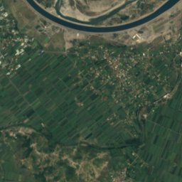
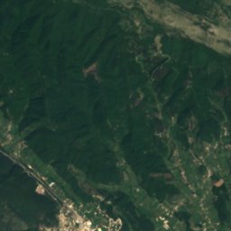
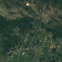
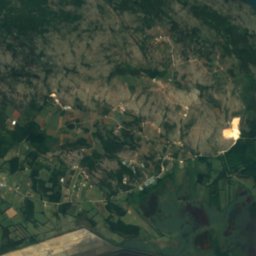
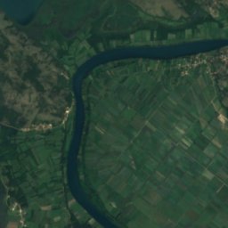
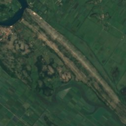
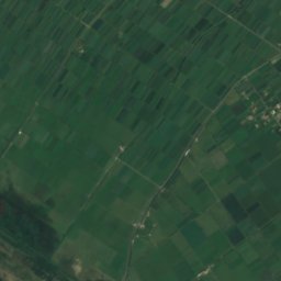
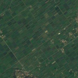
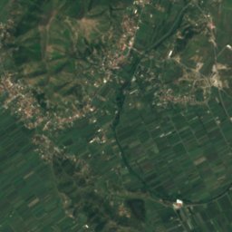
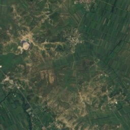
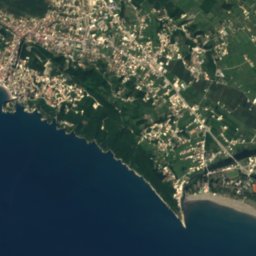
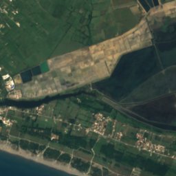
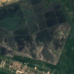
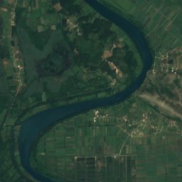
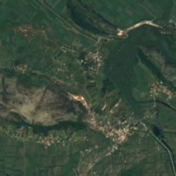
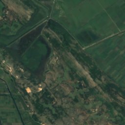

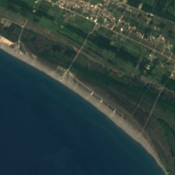
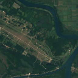
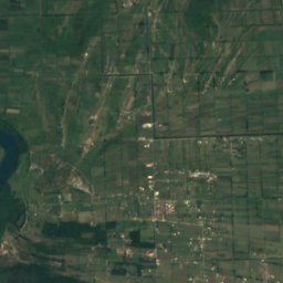
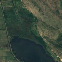
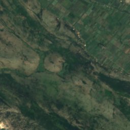
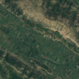
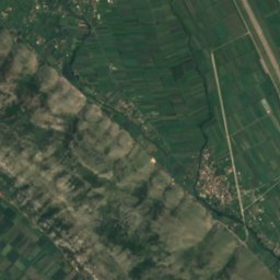



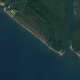
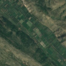







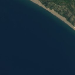
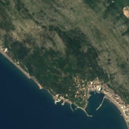
Satellite: Sentinel-2 cloudless 2016 by EOX IT Services GmbH · CC BY 4.0 · Contains modified Copernicus Sentinel data 2016
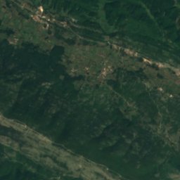
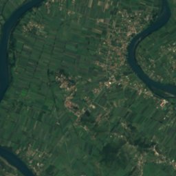
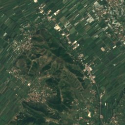
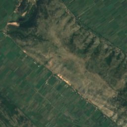
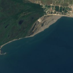
 Maja e Shitës
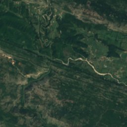
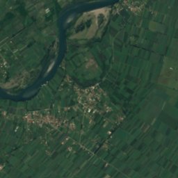
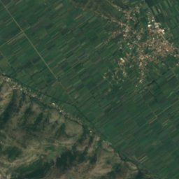
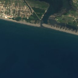
 Tarabosh
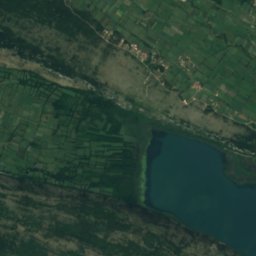
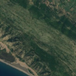
LakeVelipojë, Shkodër County
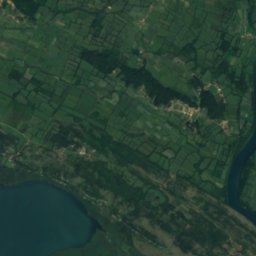
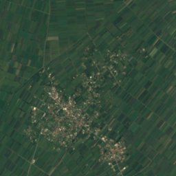
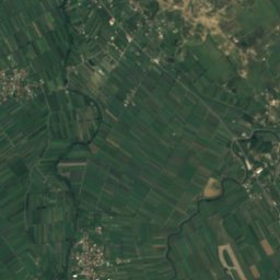
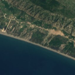
Keneta e Vilunit
LakeBest Apr–May · Oct
Elevation–above sea level
Area–surface
Nearest townVelipojë2.9 km
41.89° N, 19.43° EUTC+2 · Central European Summer Time
When to goVelipojë · weather score
Best timeApr–May · Oct
October: high / low23° / 13°
Lake
Keneta e Vilunit in brief
Keneta e Vilunit is a lake in Velipojë, Shkodër County, Albania.
The nearest town in the atlas is Velipojë, 2.9 km to the SW, where the weather is best in April, May and October.
Weather nearby now
Forecast for Velipojë22°
Rain now
Today
22 Oct
24°
15°
6 mm
Fri
23 Oct
25°
11°
2 mm
Sat
24 Oct
24°
10°
Sun
25 Oct
24°
12°
2 mm
Mon
26 Oct
25°
11°
Model run 00:00 UTCRefreshed several times a day
When to go
Climate of VelipojëThe best months around Keneta e Vilunit
Month score in Velipojë
Comfort, dry days and sunshine · out of 10036
Jan
44
Feb
60
Mar
71
Apr
72
May
61
Jun
57
Jul
57
Aug
66
Sep
75
Oct
68
Nov
40
Dec
Map
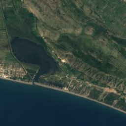
Keneta e Vilunit from above
Nature nearbyAll of Albania
Satellite: Sentinel-2 cloudless 2016 by EOX IT Services GmbH · CC BY 4.0 · Contains modified Copernicus Sentinel data 2016
Satellite: Sentinel-2 cloudless 2016 by EOX IT Services GmbH · CC BY 4.0 · Contains modified Copernicus Sentinel data 2016
Satellite: Sentinel-2 cloudless 2016 by EOX IT Services GmbH · CC BY 4.0 · Contains modified Copernicus Sentinel data 2016
Satellite: Sentinel-2 cloudless 2016 by EOX IT Services GmbH · CC BY 4.0 · Contains modified Copernicus Sentinel data 2016
Satellite: Sentinel-2 cloudless 2016 by EOX IT Services GmbH · CC BY 4.0 · Contains modified Copernicus Sentinel data 2016
Satellite: Sentinel-2 cloudless 2016 by EOX IT Services GmbH · CC BY 4.0 · Contains modified Copernicus Sentinel data 2016
Summits nearbyMountains of Albania
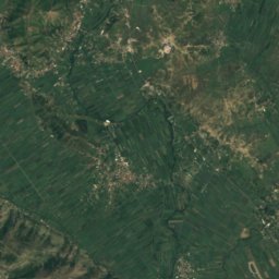
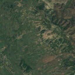
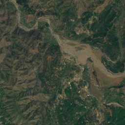
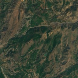
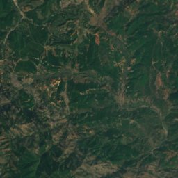

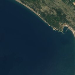
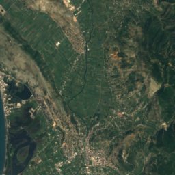
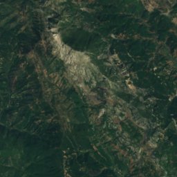
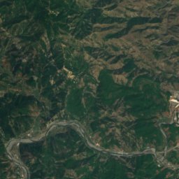
Satellite: Sentinel-2 cloudless 2016 by EOX IT Services GmbH · CC BY 4.0 · Contains modified Copernicus Sentinel data 2016


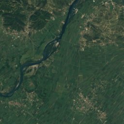
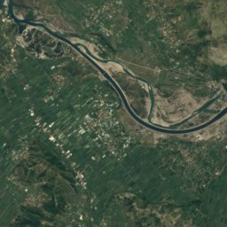
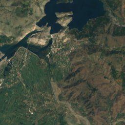
Satellite: Sentinel-2 cloudless 2016 by EOX IT Services GmbH · CC BY 4.0 · Contains modified Copernicus Sentinel data 2016
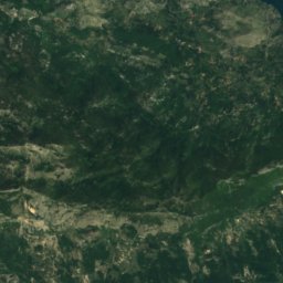
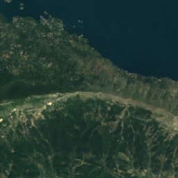
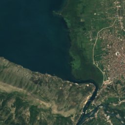
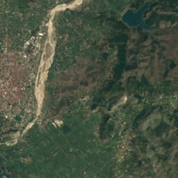
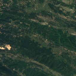
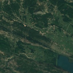
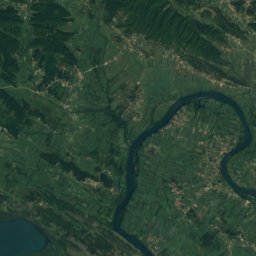
Satellite: Sentinel-2 cloudless 2016 by EOX IT Services GmbH · CC BY 4.0 · Contains modified Copernicus Sentinel data 2016
Satellite: Sentinel-2 cloudless 2016 by EOX IT Services GmbH · CC BY 4.0 · Contains modified Copernicus Sentinel data 2016
Stay nearby
Towns close by
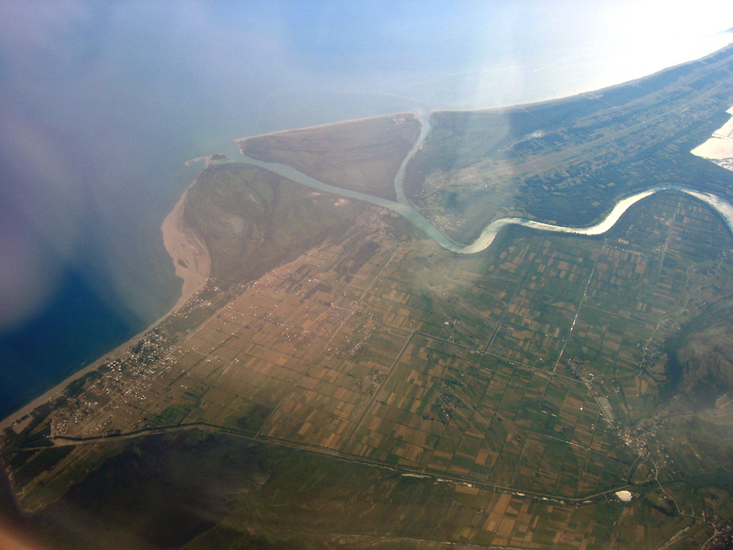
Photo: German Wikipedian De:User:Albinfo · CC BY-SA 3.0 · Wikimedia CommonsReport this photo · linked, not stored
Velipojë
Shkodër County · 2.9 km SW
23°Oct high
11wet days
75score


Photo: Pasztilla aka Attila Terbócs · CC BY-SA 4.0 · Wikimedia CommonsReport this photo · linked, not stored
Gramsh
Lezhë County · 12 km E
23°Oct high
11wet days
75score
Around here
Velipojë and around
Photo: German Wikipedian De:User:Albinfo · CC BY-SA 3.0 · Wikimedia CommonsReport this photo · linked, not stored
Velipojë
Shkodër County · Albania
Apr–May · Octbest months
31°July high
1 maltitude
Nature
Satellite: Sentinel-2 cloudless 2016 by EOX IT Services GmbH · CC BY 4.0 · Contains modified Copernicus Sentinel data 2016
Lake Zogaj
Lake · -3 m
Satellite: Sentinel-2 cloudless 2016 by EOX IT Services GmbH · CC BY 4.0 · Contains modified Copernicus Sentinel data 2016
Rjoll
Lake · 2 m
Satellite: Sentinel-2 cloudless 2016 by EOX IT Services GmbH · CC BY 4.0 · Contains modified Copernicus Sentinel data 2016
Keneta e Pertharjes
Lake
Mountains


Photo: You may re-use this image under the terms of the license using the following ref · CC BY 3.0 · Wikimedia CommonsReport this photo · linked, not stored
Maranaj
1,576 m · Accursed Mountains
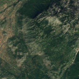
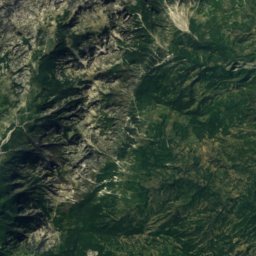
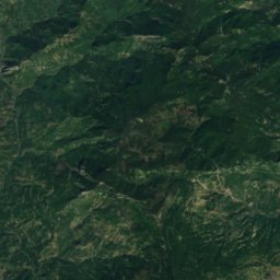
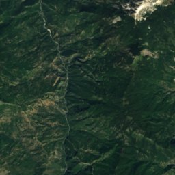
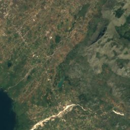
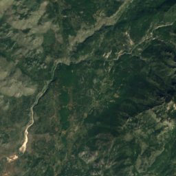
Satellite: Sentinel-2 cloudless 2016 by EOX IT Services GmbH · CC BY 4.0 · Contains modified Copernicus Sentinel data 2016
Maja e Suka e Boshnjes
1,128 m


