



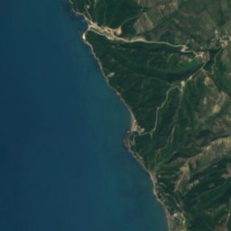
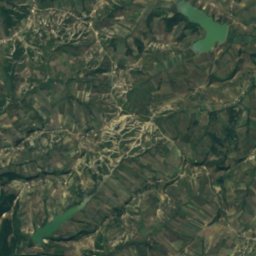
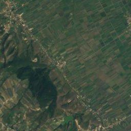
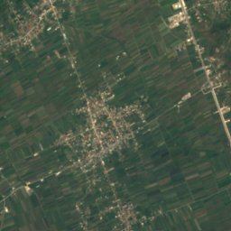
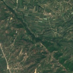




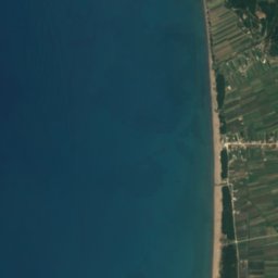
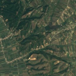
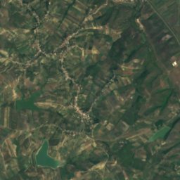
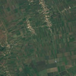
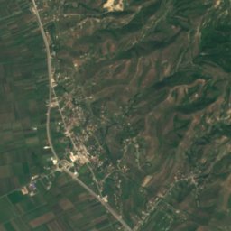




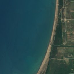
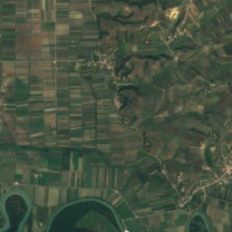








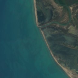
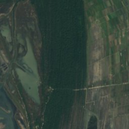
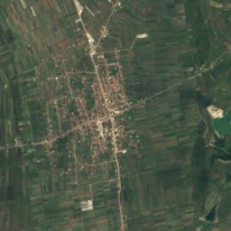
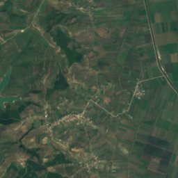





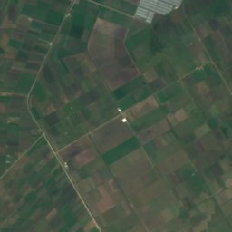
Satellite: Sentinel-2 cloudless 2016 by EOX IT Services GmbH · CC BY 4.0 · Contains modified Copernicus Sentinel data 2016

Photo: Original uploader was Albinfo at de.wikipedia · CC BY-SA 3.0 · Wikimedia Commons
ShkumbinReport this photo · linked, not stored
ShkumbinShkumbinReport this photo · linked, not stored

Photo: Arbenllapashtica · CC BY-SA 4.0 · Wikimedia Commons
Divjakë-Karavasta National ParkReport this photo · linked, not stored
Divjakë-Karavasta National ParkDivjakë-Karavasta National ParkReport this photo · linked, not stored
LakeDivjakë, Fier County
Golda e Kullarit
LakeBest May · Sep–Oct
Elevation–above sea level
Area–surface
Nearest townDivjakë5.7 km
41.02° N, 19.47° EUTC+2 · Central European Summer Time
When to goDivjakë · weather score
Best timeMay · Sep–Oct
October: high / low22° / 14°
Lake
Golda e Kullarit in brief
Golda e Kullarit is a lake in Divjakë, Fier County, Albania.
The nearest town in the atlas is Divjakë, 5.7 km to the SE, where the weather is best in May, September and October.
Weather nearby now
Forecast for Divjakë20°
Partly cloudy now
Today
22 Oct
23°
15°
5 mm
Fri
23 Oct
21°
14°
1 mm
Sat
24 Oct
22°
12°
Sun
25 Oct
19°
13°
6 mm
Mon
26 Oct
21°
12°
Model run 00:00 UTCRefreshed several times a day
When to go
Climate of DivjakëThe best months around Golda e Kullarit
Month score in Divjakë
Comfort, dry days and sunshine · out of 10038
Jan
46
Feb
58
Mar
72
Apr
75
May
70
Jun
65
Jul
66
Aug
73
Sep
76
Oct
64
Nov
41
Dec
Map
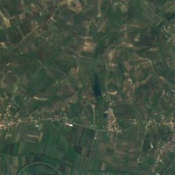
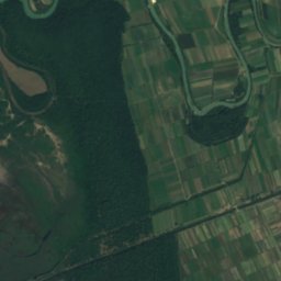
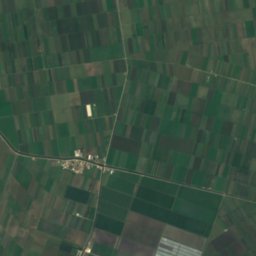
Golda e Kullarit from above
Nature nearbyAll of Albania

Photo: Original uploader was Albinfo at de.wikipedia · CC BY-SA 3.0 · Wikimedia CommonsReport this photo · linked, not stored



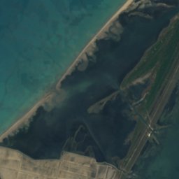
Satellite: Sentinel-2 cloudless 2016 by EOX IT Services GmbH · CC BY 4.0 · Contains modified Copernicus Sentinel data 2016
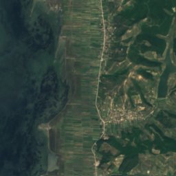
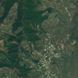
Satellite: Sentinel-2 cloudless 2016 by EOX IT Services GmbH · CC BY 4.0 · Contains modified Copernicus Sentinel data 2016



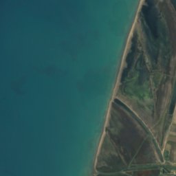
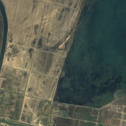
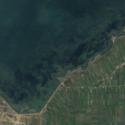
Satellite: Sentinel-2 cloudless 2016 by EOX IT Services GmbH · CC BY 4.0 · Contains modified Copernicus Sentinel data 2016
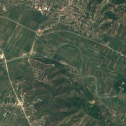
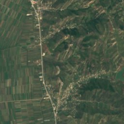
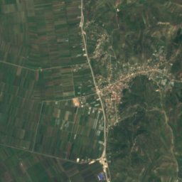
Satellite: Sentinel-2 cloudless 2016 by EOX IT Services GmbH · CC BY 4.0 · Contains modified Copernicus Sentinel data 2016
Summits nearbyMountains of Albania
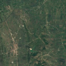
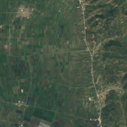
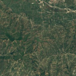
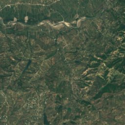
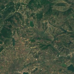
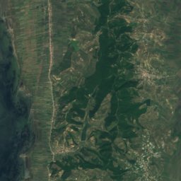
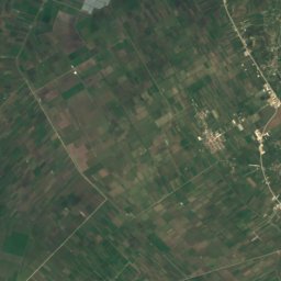
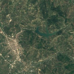
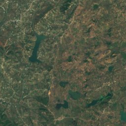
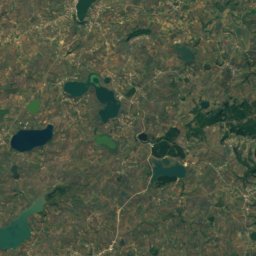
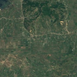
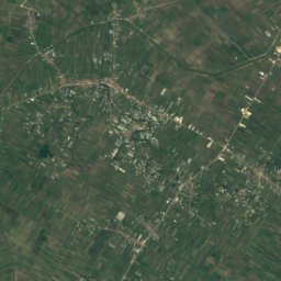
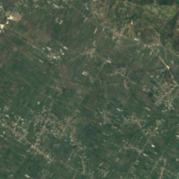
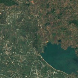
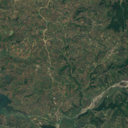
Satellite: Sentinel-2 cloudless 2016 by EOX IT Services GmbH · CC BY 4.0 · Contains modified Copernicus Sentinel data 2016
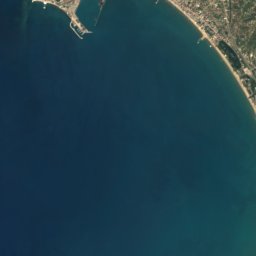
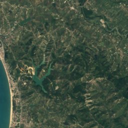
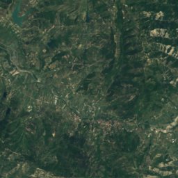
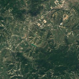
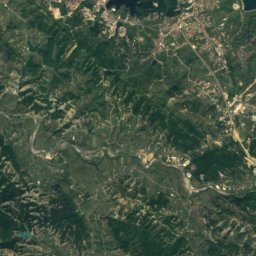
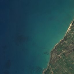
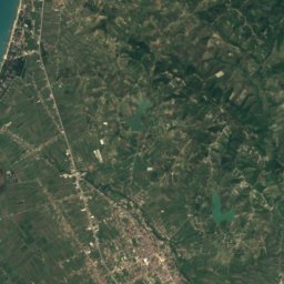
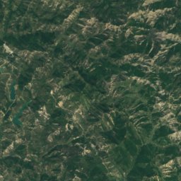
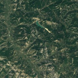
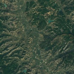
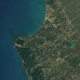
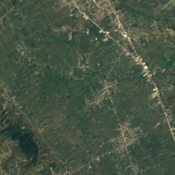
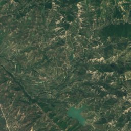
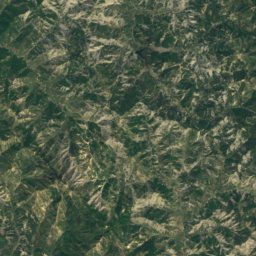
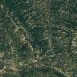
Satellite: Sentinel-2 cloudless 2016 by EOX IT Services GmbH · CC BY 4.0 · Contains modified Copernicus Sentinel data 2016
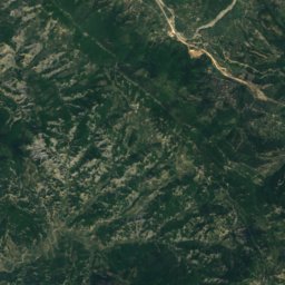
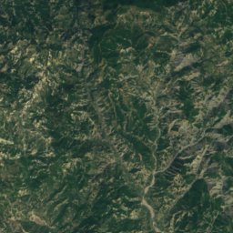
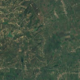
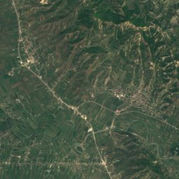
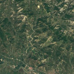
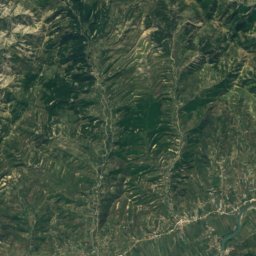
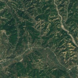
Satellite: Sentinel-2 cloudless 2016 by EOX IT Services GmbH · CC BY 4.0 · Contains modified Copernicus Sentinel data 2016



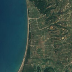
Satellite: Sentinel-2 cloudless 2016 by EOX IT Services GmbH · CC BY 4.0 · Contains modified Copernicus Sentinel data 2016
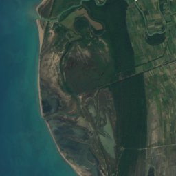
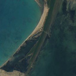
Satellite: Sentinel-2 cloudless 2016 by EOX IT Services GmbH · CC BY 4.0 · Contains modified Copernicus Sentinel data 2016
Stay nearby
Towns close by


Satellite: Sentinel-2 cloudless 2016 by EOX IT Services GmbH · CC BY 4.0 · Contains modified Copernicus Sentinel data 2016
Golem
Fier County · 19 km E
23°Oct high
10wet days
76score

Photo: Pasztilla aka Attila Terbócs · CC BY-SA 4.0 · Wikimedia CommonsReport this photo · linked, not stored
Kavajë
Tirana · 20 km N
23°Oct high
10wet days
76score
Around here
Divjakë and around
Nature
Photo: Original uploader was Albinfo at de.wikipedia · CC BY-SA 3.0 · Wikimedia CommonsReport this photo · linked, not stored
Shkumbin
River
Satellite: Sentinel-2 cloudless 2016 by EOX IT Services GmbH · CC BY 4.0 · Contains modified Copernicus Sentinel data 2016
Liqeni i Karavastase
Lake · -7 m
Mountains
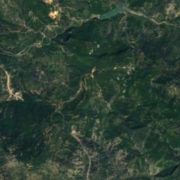
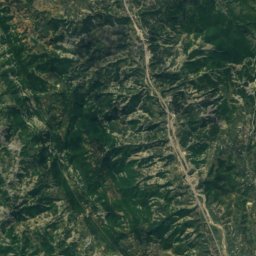
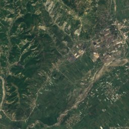
Satellite: Sentinel-2 cloudless 2016 by EOX IT Services GmbH · CC BY 4.0 · Contains modified Copernicus Sentinel data 2016
Maja e Manapjetras
502 m
Satellite: Sentinel-2 cloudless 2016 by EOX IT Services GmbH · CC BY 4.0 · Contains modified Copernicus Sentinel data 2016
Shkembi i Bishqemit
496 m
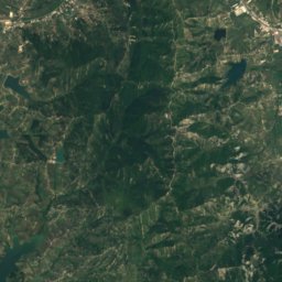
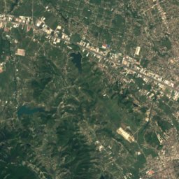
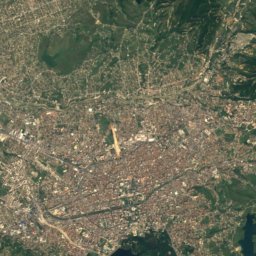
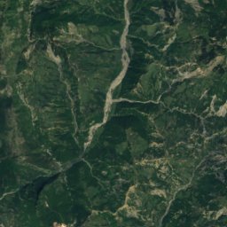
Satellite: Sentinel-2 cloudless 2016 by EOX IT Services GmbH · CC BY 4.0 · Contains modified Copernicus Sentinel data 2016
Mali i Petreles
442 m
Heritage












Satellite: Sentinel-2 cloudless 2016 by EOX IT Services GmbH · CC BY 4.0 · Contains modified Copernicus Sentinel data 2016
Divjakë-Karavasta National Park
Ramsar site · 2007


