Nature
Waters, ice and wild places of Afghanistan
Lakes, waterfalls, glaciers, national parks and mountain huts, each with its location, its size and the weather of the towns around it.
Lakes28with a page
Glaciers1with a page
Caves9with a page
Rivers21with a page

Lakes
Lakes of Afghanistan

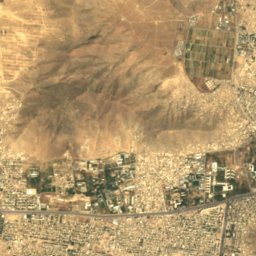
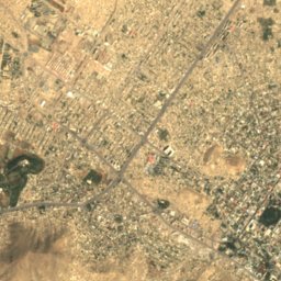
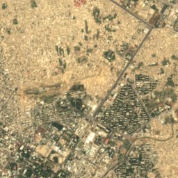
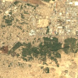
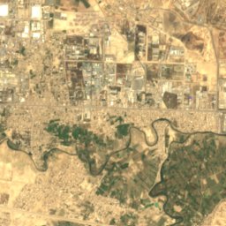
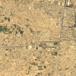
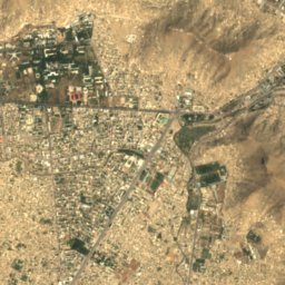
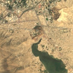
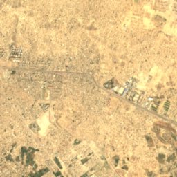
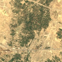
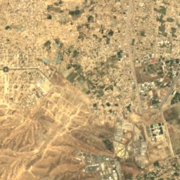
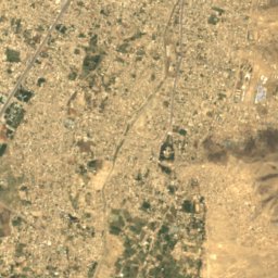
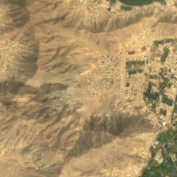
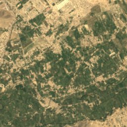
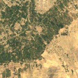
Satellite: Sentinel-2 cloudless 2016 by EOX IT Services GmbH · CC BY 4.0 · Contains modified Copernicus Sentinel data 2016
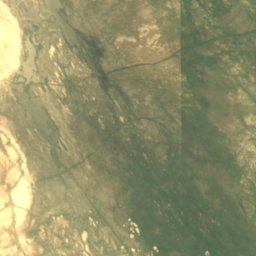
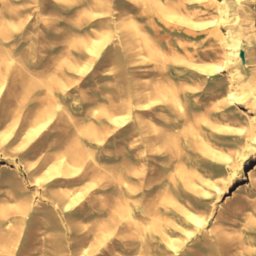
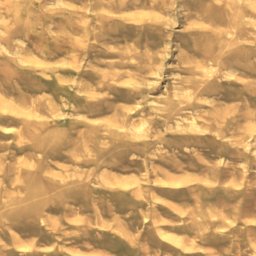
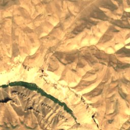
Hashmat Khan Lake
Kabul, Kabul
1.7 km²
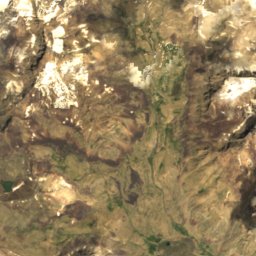
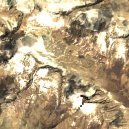
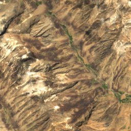
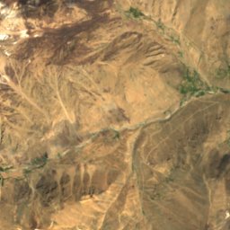
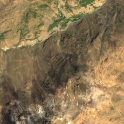
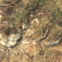
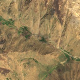
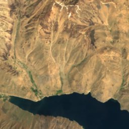
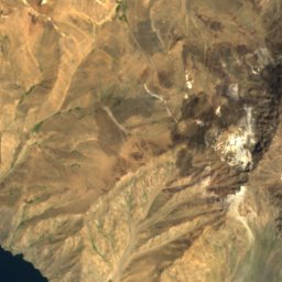
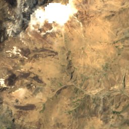
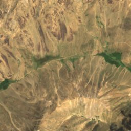
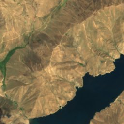
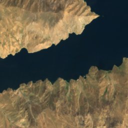
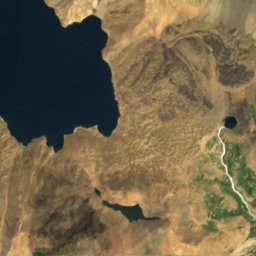
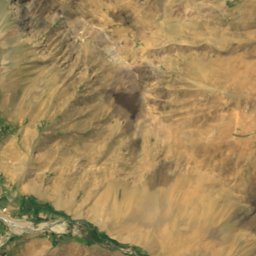
Satellite: Sentinel-2 cloudless 2016 by EOX IT Services GmbH · CC BY 4.0 · Contains modified Copernicus Sentinel data 2016
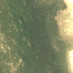
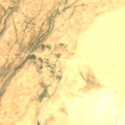
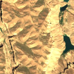
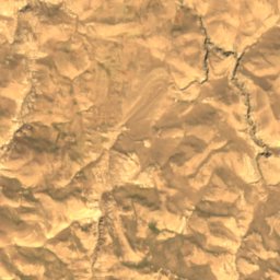
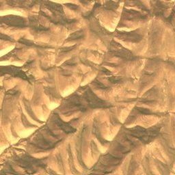
Kōl-e Shēwah
Arakht, Badakhshan
14 km²
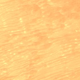
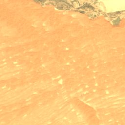
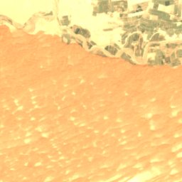
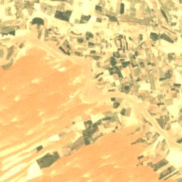
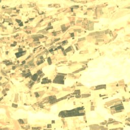
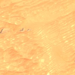
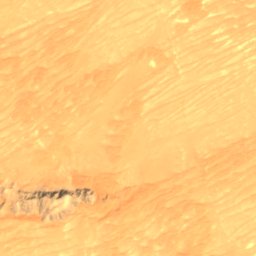
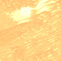
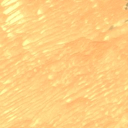
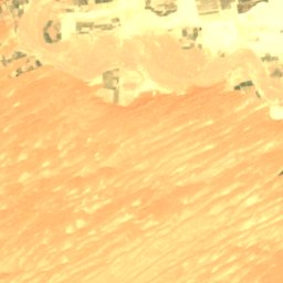
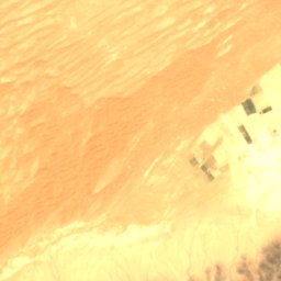
Satellite: Sentinel-2 cloudless 2016 by EOX IT Services GmbH · CC BY 4.0 · Contains modified Copernicus Sentinel data 2016
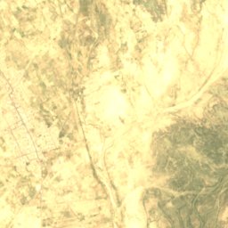
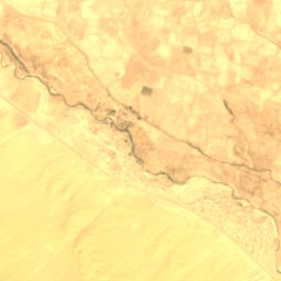
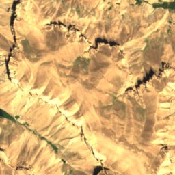
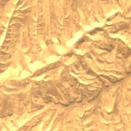
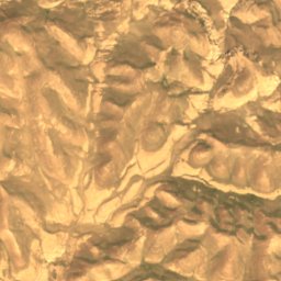
Chārgul Nāwêr
Spin Boldak, Kandahar
1,114 m
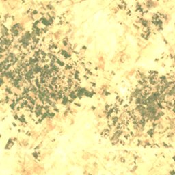
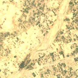
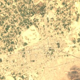
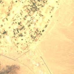
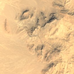
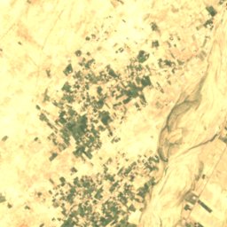
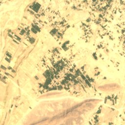
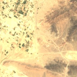
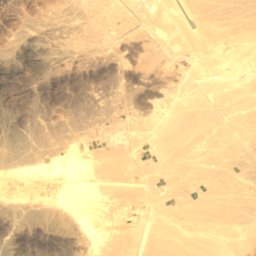
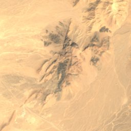
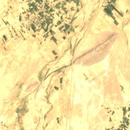
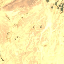
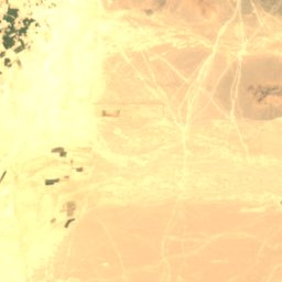
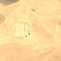
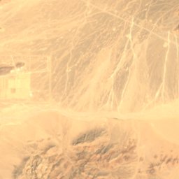
Satellite: Sentinel-2 cloudless 2016 by EOX IT Services GmbH · CC BY 4.0 · Contains modified Copernicus Sentinel data 2016
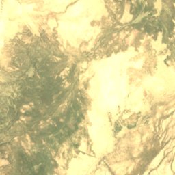
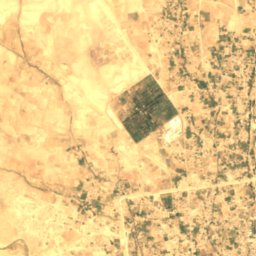
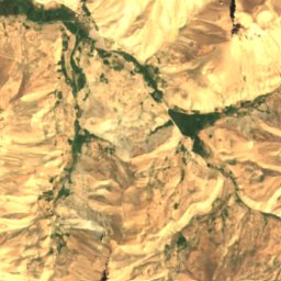
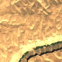
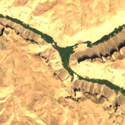
Daghāl, Farah
Farah, Farah
665 m
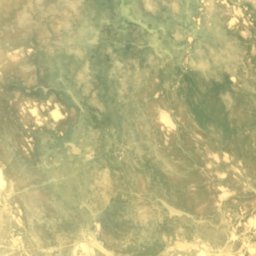
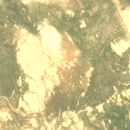
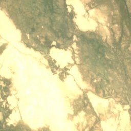
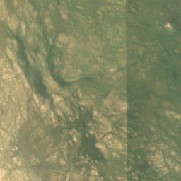
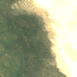
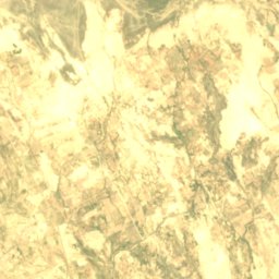
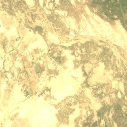
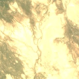
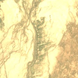
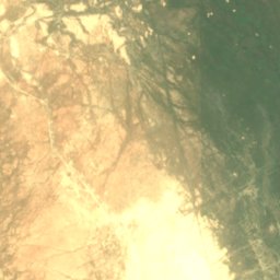
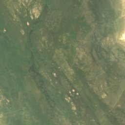
Satellite: Sentinel-2 cloudless 2016 by EOX IT Services GmbH · CC BY 4.0 · Contains modified Copernicus Sentinel data 2016
Eshgīn-e ‘Aām
Zaranj, Nimroz
478 m
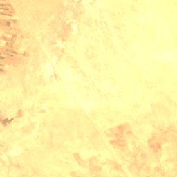
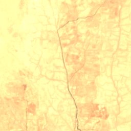
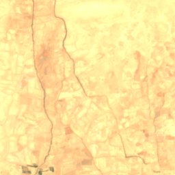
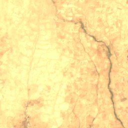
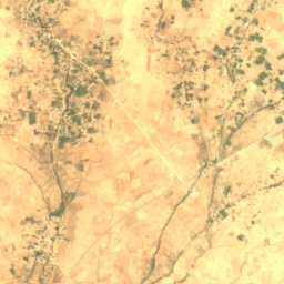
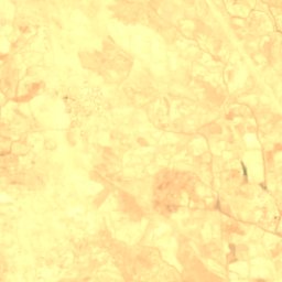
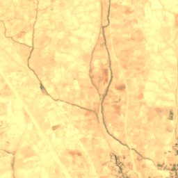
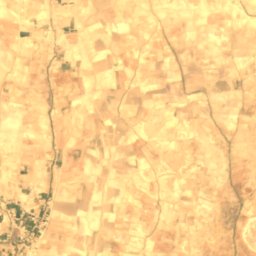
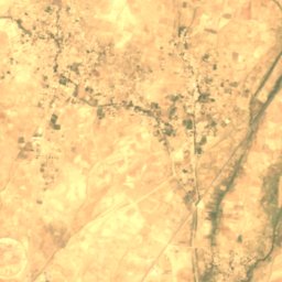
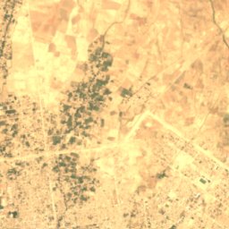
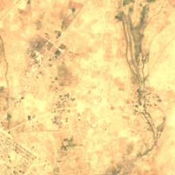
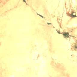
Satellite: Sentinel-2 cloudless 2016 by EOX IT Services GmbH · CC BY 4.0 · Contains modified Copernicus Sentinel data 2016
Imshik
Sheberghan, Jowzjan
341 m
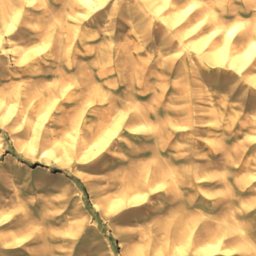
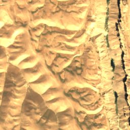
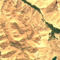
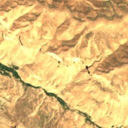
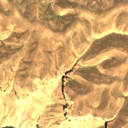
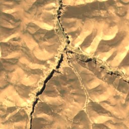
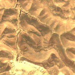
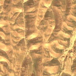
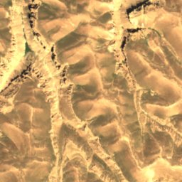
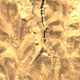
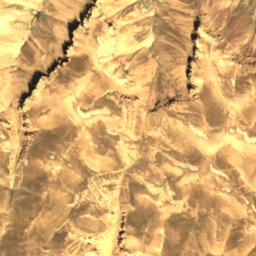
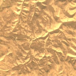
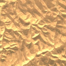
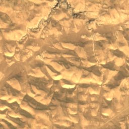
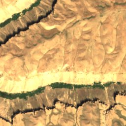
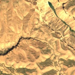
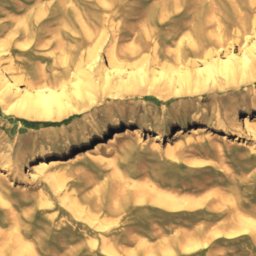
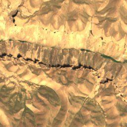
All 28 lakes
- Band-e Sultan
- Chārgul Nāwêr
- Daghāl, Farah
- Eshgīn-e ‘Aām
- Ḩalqah Kōl
- Hashmat Khan Lake
- Ḩowẕ-e Jar-e Bayd
- Ḩowẕ-e Khāş, Kabul
- Ḩowẕ-e Khāş, Logar
- Ḩowẕ-e Muhim Khān
- Imshik
- Jī Kalān
- Jiyā
- Kāsah-ye Band-e Darūntah
- Kōl-e Bāshūn
- Kōl-e Māhī Kōl
- Kōl-e Shēwah
- Kōl-e Shōr-e Kōl
- Kōl-e Wīzāwjēl
- Langar Nāwêr
- Qarah Kōl
- Qargha Reservoir
- Shōr Kān
- Taghzīr
- Tsapak Kōl
- Vodokhranilishche Abzikhudai
- Yakhak
- Zakhīrah-ye Āb-e Band-e Kajakī
Glaciers
Glaciers of Afghanistan
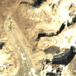
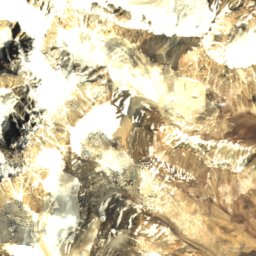
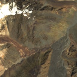
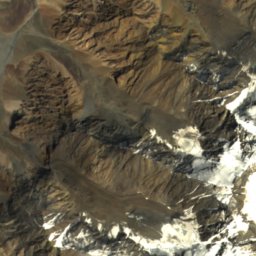
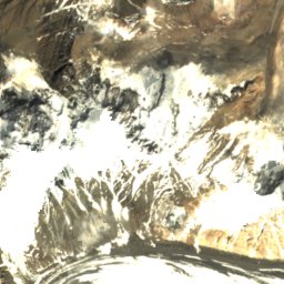
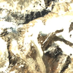
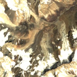
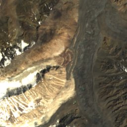
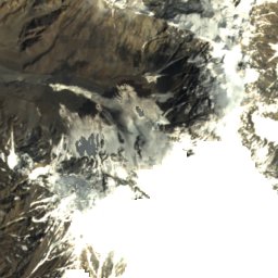
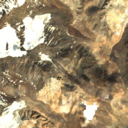
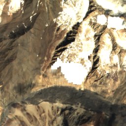
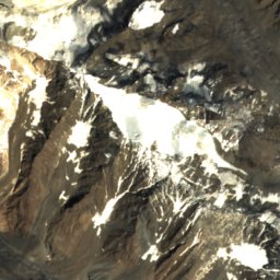
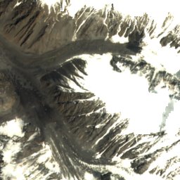
Satellite: Sentinel-2 cloudless 2016 by EOX IT Services GmbH · CC BY 4.0 · Contains modified Copernicus Sentinel data 2016
Qasdah Glacier
Fotur, Badakhshan
4,741 m
Caves
Caves of Afghanistan
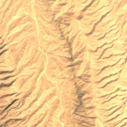
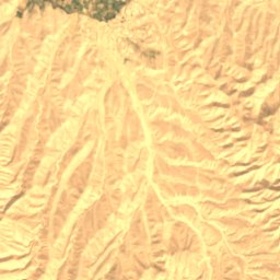
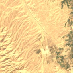
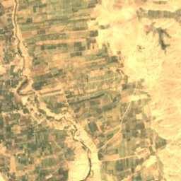
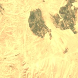
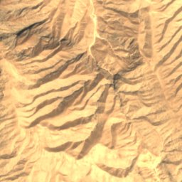
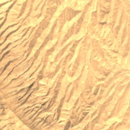
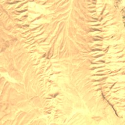
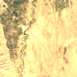
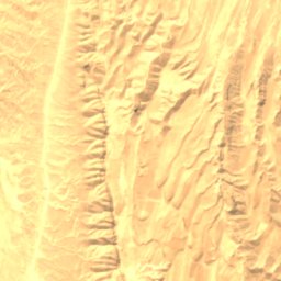
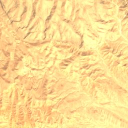
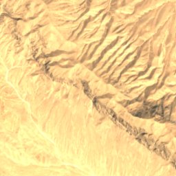
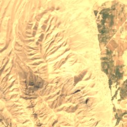
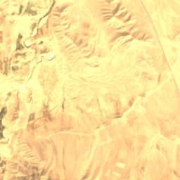
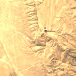
Satellite: Sentinel-2 cloudless 2016 by EOX IT Services GmbH · CC BY 4.0 · Contains modified Copernicus Sentinel data 2016
Kara Kamar cave
Aybak, Samangan
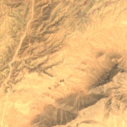
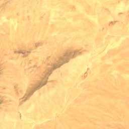
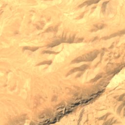
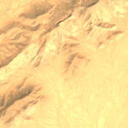
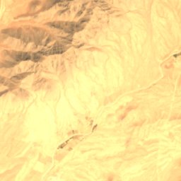
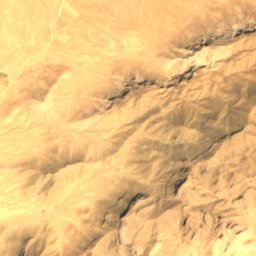
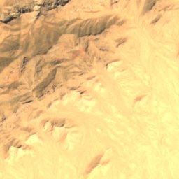
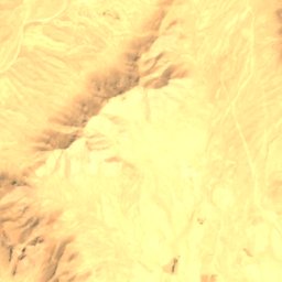
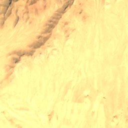
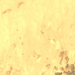
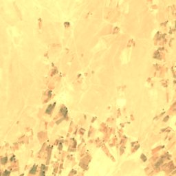
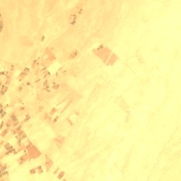
Satellite: Sentinel-2 cloudless 2016 by EOX IT Services GmbH · CC BY 4.0 · Contains modified Copernicus Sentinel data 2016
Burān Khēl Mēnē
Qalat, Zabul
1,724 m
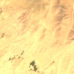
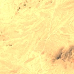
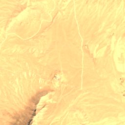
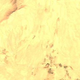
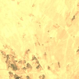
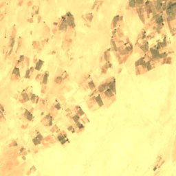
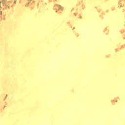
Satellite: Sentinel-2 cloudless 2016 by EOX IT Services GmbH · CC BY 4.0 · Contains modified Copernicus Sentinel data 2016
Dê Jīālīzī Mēnē
Qalat, Zabul
1,712 m
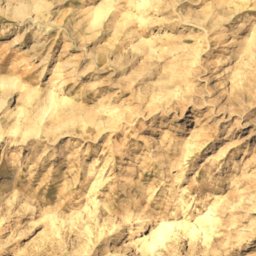
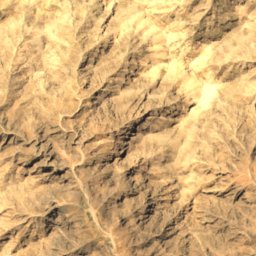
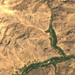
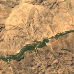
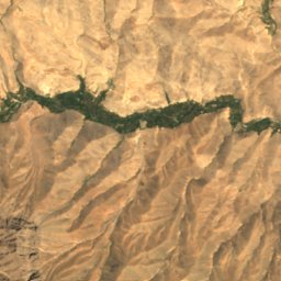
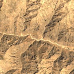
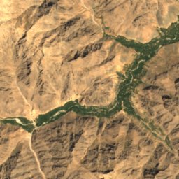
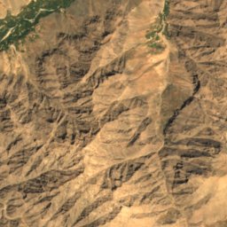
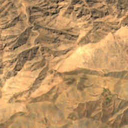
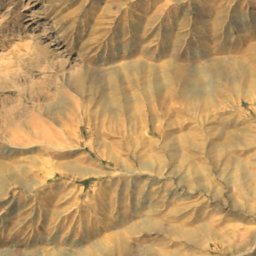
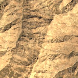
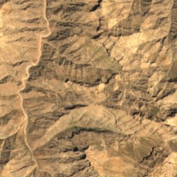
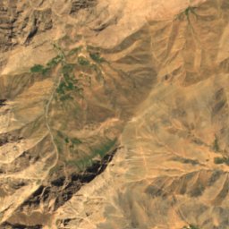
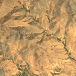
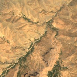
Satellite: Sentinel-2 cloudless 2016 by EOX IT Services GmbH · CC BY 4.0 · Contains modified Copernicus Sentinel data 2016
Ghār-e Kabūtar
Nili, Daykundi
2,676 m
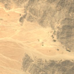
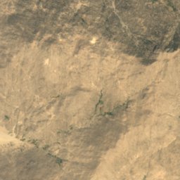
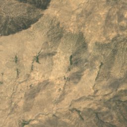
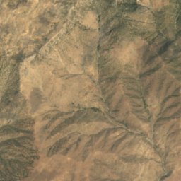
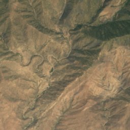
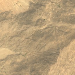
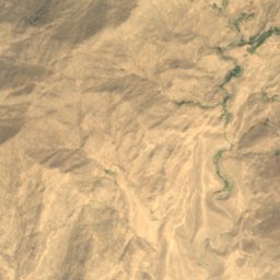
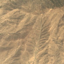
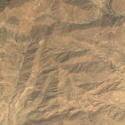
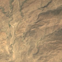
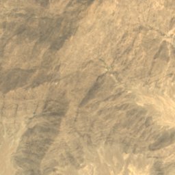
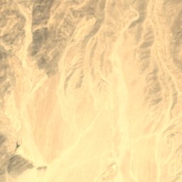
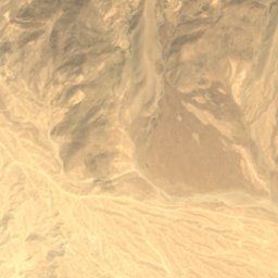
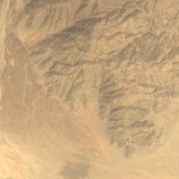
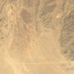
Satellite: Sentinel-2 cloudless 2016 by EOX IT Services GmbH · CC BY 4.0 · Contains modified Copernicus Sentinel data 2016
Ghārō Bayṯah
Mehtar Lām, Laghman
863 m
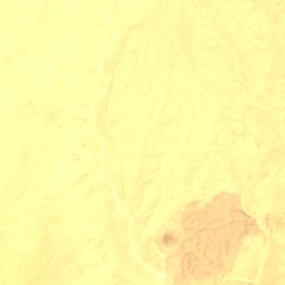
Satellite: Sentinel-2 cloudless 2016 by EOX IT Services GmbH · CC BY 4.0 · Contains modified Copernicus Sentinel data 2016
Muḩammad Shafīq Mēnah
Qalat, Zabul
1,703 m
Satellite: Sentinel-2 cloudless 2016 by EOX IT Services GmbH · CC BY 4.0 · Contains modified Copernicus Sentinel data 2016
Sulţān Mēnah
Qalat, Zabul
1,712 m
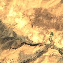
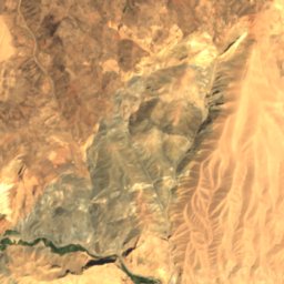
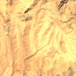
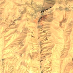
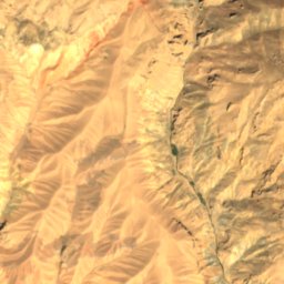
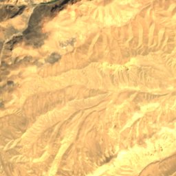
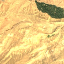
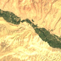
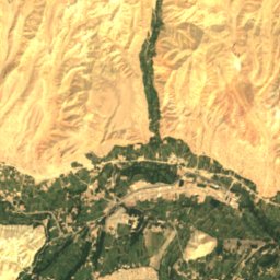
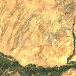
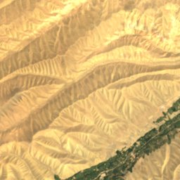
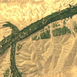
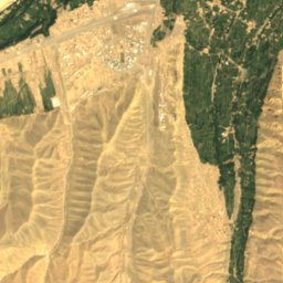
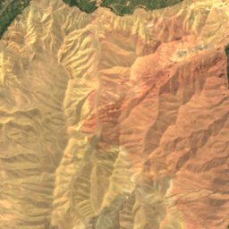
Satellite: Sentinel-2 cloudless 2016 by EOX IT Services GmbH · CC BY 4.0 · Contains modified Copernicus Sentinel data 2016
Qoul-I Akram Caves
Bamyan, Bamyan
Satellite: Sentinel-2 cloudless 2016 by EOX IT Services GmbH · CC BY 4.0 · Contains modified Copernicus Sentinel data 2016
Kalai Ghamai Caves
Bamyan, Bamyan
Rivers
Rivers of Afghanistan


Photo: Usman Mansoor Ansari عثمان منصور انصاري · CC BY-SA 4.0 · Wikimedia CommonsReport this photo · linked, not stored
Alingar River
Mehtar Lām, Laghman


Photo: 1st Lt. Georganne Hassell · Public domain · Wikimedia CommonsReport this photo · linked, not stored
Tarnak River
Kandahar, Kandahar

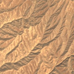
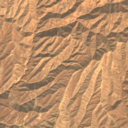
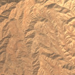
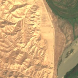
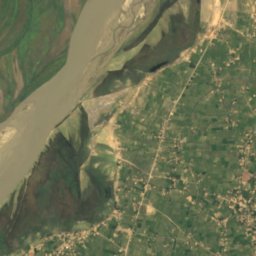
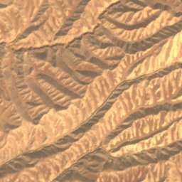
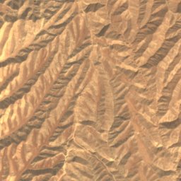
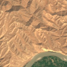
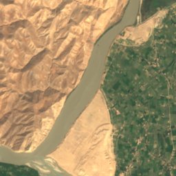
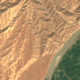
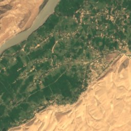
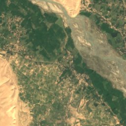
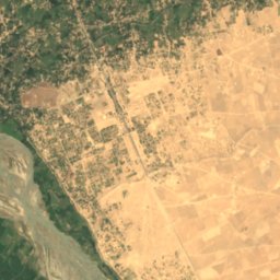
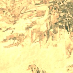
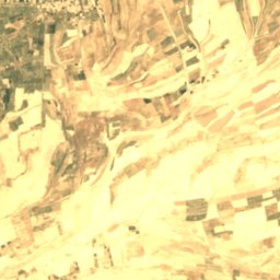
Satellite: Sentinel-2 cloudless 2016 by EOX IT Services GmbH · CC BY 4.0 · Contains modified Copernicus Sentinel data 2016
Kokcha River
Chīchkah, Kunduz
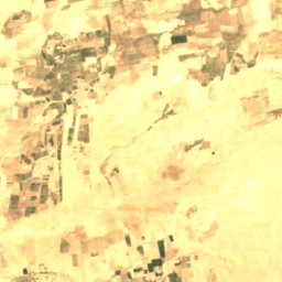
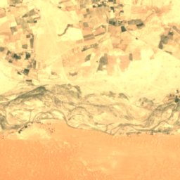
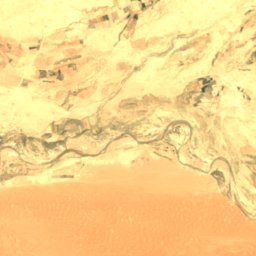
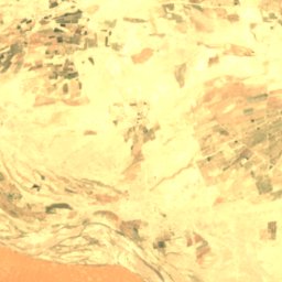
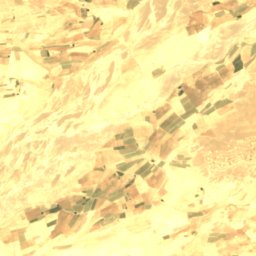


Satellite: Sentinel-2 cloudless 2016 by EOX IT Services GmbH · CC BY 4.0 · Contains modified Copernicus Sentinel data 2016
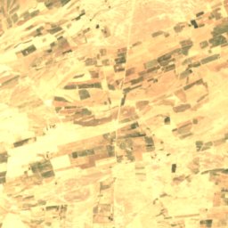
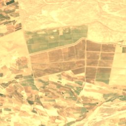
Dori River
Kandahar, Kandahar