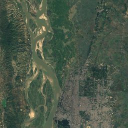
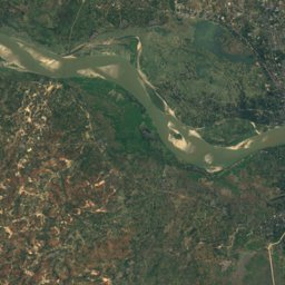
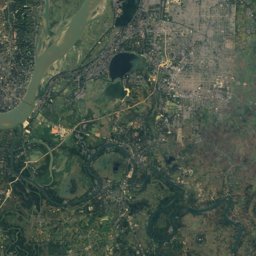
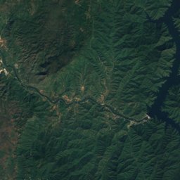
Satellite: Sentinel-2 cloudless 2016 by EOX IT Services GmbH · CC BY 4.0 · Contains modified Copernicus Sentinel data 2016
Outdoor activitiesMingun
Outdoors near Mingun
within 15 km15places
Viewpoints6
Camp sites3
22.04° N, 96.02° EElevation 79 mUTC+6:30 · Myanmar Time
When to goMingun · weather score
Best timeJan · Nov–Dec
October: high / low30° / 24°
Viewpoints
| Name | Nearby | Details |
|---|---|---|
| From the pagoda beautiful view over Hsinbyume Paya | 1.6 km | |
| Use this road to avoid checkpoint and entrance fee | 0.8 km | |
| Pa Hto Taw Gyi | 1 km | |
| Sunset Point | 7.2 km | |
| Amazing sunset viewpoint | 9.6 km | |
| Ma Har Ken Pat Lal Monastery | 12.8 km |
Camp sites
| Name | Nearby | Details |
|---|---|---|
| Edin Hall | 11.1 km | |
| Myanmar Adventure Xperience | 11.1 km | |
| K S W | 12 km |
Golf courses
| Name | Nearby | Details |
|---|---|---|
| Mandalay Golf Resource | 8.9 km | |
| Shwe Mann Taung Golf Club | 8.8 km | |
| Sin Phyu Can Golf Course | 12.4 km |
Golf courses in Sagaing Region
Theme parks
| Name | Nearby | Details |
|---|---|---|
| City Park | 7.9 km |
Zoos
| Name | Nearby | Details |
|---|---|---|
| Yadanarpon Zoo | 9 km |
Water parks
| Name | Nearby | Details |
|---|---|---|
| Little Stars Water Park | 8.8 km |
Places come from an open map made by volunteers: well-known sites are there, small or new ones may be missing. Opening times and prices change, so check before you go.