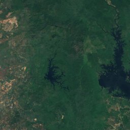
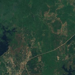
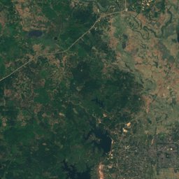
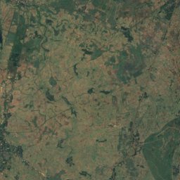
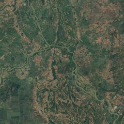
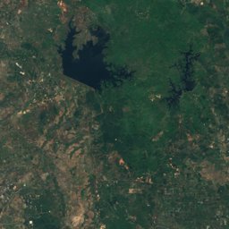
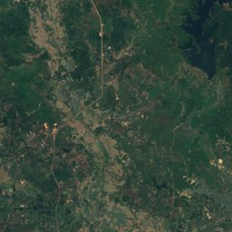
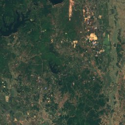
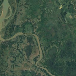
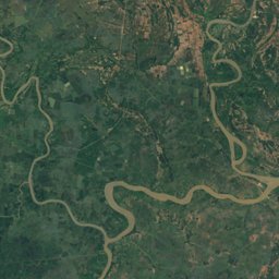
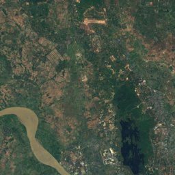
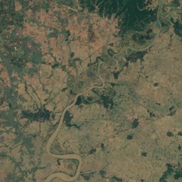
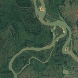
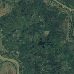
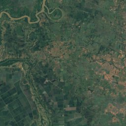
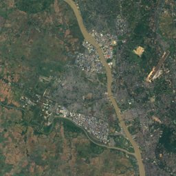
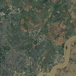
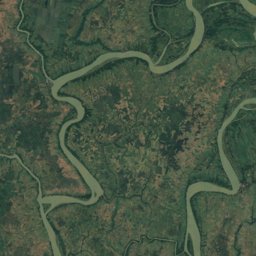
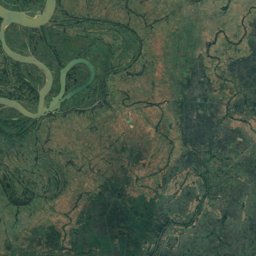
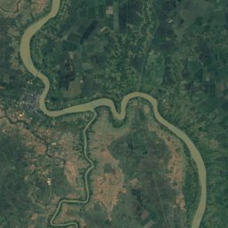
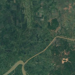
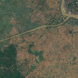
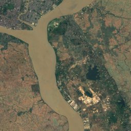
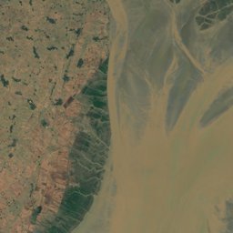
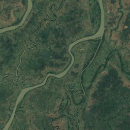
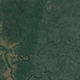
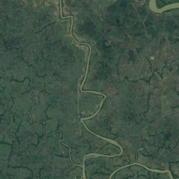
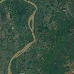
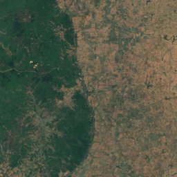
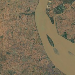
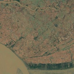
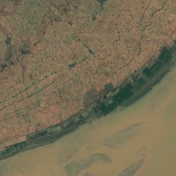
Satellite: Sentinel-2 cloudless 2016 by EOX IT Services GmbH · CC BY 4.0 · Contains modified Copernicus Sentinel data 2016
Outdoor activitiesInsein
Outdoors near Insein
within 15 km38places
Viewpoints21
Golf courses7
16.89° N, 96.10° EElevation 17 mUTC+6:30 · Myanmar Time
When to goInsein · weather score
Best timeJan · Nov–Dec
October: high / low30° / 24°
Viewpoints
| Name | Nearby | Details |
|---|---|---|
| Sakura Tower | 13.6 km | |
| nice views to Karaweik Palace | 12.4 km | |
| Yadanar Aung Myay School | 5.8 km | |
| Thiri Mingalar street | 11.1 km | |
| amazing views to the Shwedagon Pagoda | 12.3 km | |
| Htain Nhapin Village | 14.1 km | |
| Utopia Tower | 12.1 km | |
| Andromeda Engineering Co,Ltd | 1.3 km | |
| PAN hlaing | 5.4 km | |
| YGN0345 | 5.9 km | |
| Inya Bank | 6.8 km | |
| Rose garden | 7.7 km |
Golf courses
| Name | Nearby | Details |
|---|---|---|
| golf course | 4.3 km | |
| Mingalardon golf course | 9.1 km | |
| Pun Hlaing Golf Course | 5.9 km | |
| Okkala Golf Course | 7.5 km | |
| Military Golf Course | 4.1 km | |
| Military Golf Course | 5.9 km | |
| City Golf Club & Golf Course | 3.2 km |
Camp sites
| Name | Nearby | Details |
|---|---|---|
| Myint Mo | 1.6 km | |
| အခြန္ရံုးကမာရြတ္ | 5.9 km | |
| ငွေကြာရံရိပ်သာ ပါရမီcaravans & motorhomes | 7.9 km | |
| Rema Orphans Charity | 8 km | |
| ခ်မ္းေျမ႕ရိပ္ | 14.1 km |
Zoos
| Name | Nearby | Details |
|---|---|---|
| Yangon Zoological Gardens | 12.4 km | Website |
| Thaketa Crocodile Farm | 13.6 km | |
| ဒဂုံသီရိမဟာဘေးမဲ့ကန်တော်ကြီး | 6.2 km |
Hot springs & thermal baths
| Name | Nearby | Details |
|---|---|---|
| 华人工厂natural spring | 13.6 km |
Theme parks
| Name | Nearby | Details |
|---|---|---|
| Nawadday | 4.5 km |
Places come from an open map made by volunteers: well-known sites are there, small or new ones may be missing. Opening times and prices change, so check before you go.