








































Satellite: Sentinel-2 cloudless 2016 by EOX IT Services GmbH · CC BY 4.0 · Contains modified Copernicus Sentinel data 2016
MuseumNordingrå, Västernorrland
Kustmuseet
Museum
KindMuseumNordingrå
Visitors a year–
Founded–
Best monthsJun–AugNordingrå
62.91° N, 18.30° EUTC+2 · Central European Summer Time
When to goNordingrå · weather score
Best timeJun–Aug
October: high / low8° / 2°
About
Kustmuseet in brief
Kustmuseet is a museum in Nordingrå, Västernorrland, Sweden.
For the trip, the weather in Nordingrå is best in June, July and August; in October afternoons average 8°.
Facts
- Kind
- Museum
- Town
- Nordingrå
- Region
- Västernorrland
- Coordinates
- 62.91115° N, 18.30275° E
Location
Where to find it
When to visit
Climate guideWeather in Nordingrå
Month score for sightseeing
Best Jun–Aug20
Jan
31
Feb
28
Mar
35
Apr
49
May
69
Jun
65
Jul
65
Aug
47
Sep
19
Oct
15
Nov
19
Dec
Nearby
All museums in SwedenMore to see close by
Satellite: Sentinel-2 cloudless 2016 by EOX IT Services GmbH · CC BY 4.0 · Contains modified Copernicus Sentinel data 2016
Jordbruksmuseet
under 100 m N
Museum
Satellite: Sentinel-2 cloudless 2016 by EOX IT Services GmbH · CC BY 4.0 · Contains modified Copernicus Sentinel data 2016
Mannaminne
under 100 m E
Open-air museum




Satellite: Sentinel-2 cloudless 2016 by EOX IT Services GmbH · CC BY 4.0 · Contains modified Copernicus Sentinel data 2016
Svenska administrations- och byråkratimuseet
1.9 km W
Museum

Around here
Nordingrå and around
Nature

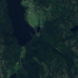
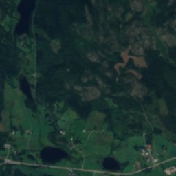
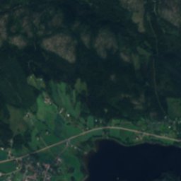
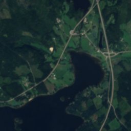
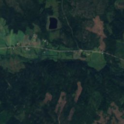
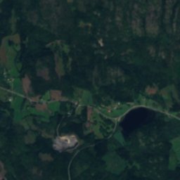
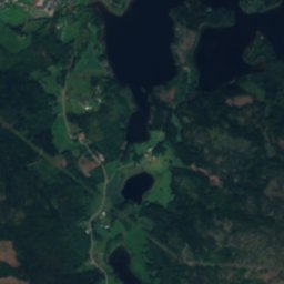
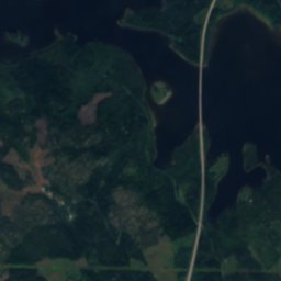
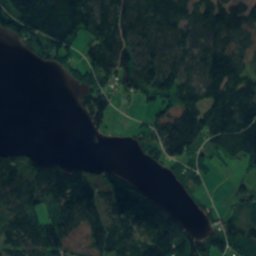
Satellite: Sentinel-2 cloudless 2016 by EOX IT Services GmbH · CC BY 4.0 · Contains modified Copernicus Sentinel data 2016
Storsjön, Västernorrland
Lake · 29 m
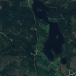
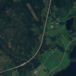
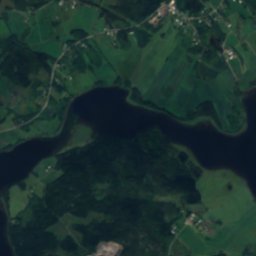
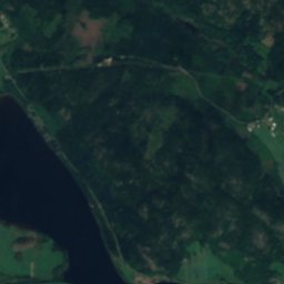
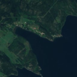
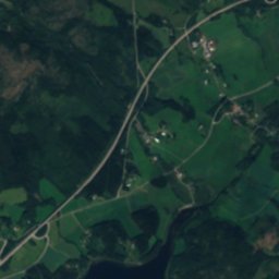
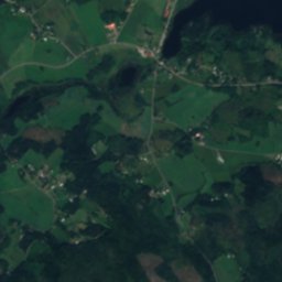
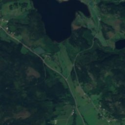
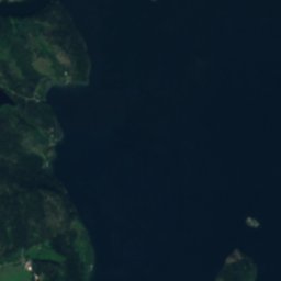
Satellite: Sentinel-2 cloudless 2016 by EOX IT Services GmbH · CC BY 4.0 · Contains modified Copernicus Sentinel data 2016
Norasundet
Lake · 5 m
Mountains

Heritage



Satellite: Sentinel-2 cloudless 2016 by EOX IT Services GmbH · CC BY 4.0 · Contains modified Copernicus Sentinel data 2016
Nordingrå Church
ecclesiastical listed building complex


Museums
Satellite: Sentinel-2 cloudless 2016 by EOX IT Services GmbH · CC BY 4.0 · Contains modified Copernicus Sentinel data 2016
Mannaminne
Open-air museum
Satellite: Sentinel-2 cloudless 2016 by EOX IT Services GmbH · CC BY 4.0 · Contains modified Copernicus Sentinel data 2016
Jordbruksmuseet
Satellite: Sentinel-2 cloudless 2016 by EOX IT Services GmbH · CC BY 4.0 · Contains modified Copernicus Sentinel data 2016