
Photo: Alex Bascuas · CC BY 4.0 · Wikimedia Commons
Espacio BurgesReport this photo · linked, not stored
Espacio BurgesReport this photo · linked, not stored

Photo: Inculcatio · CC0 · Wikimedia Commons
Battle of the Ebro MuseumReport this photo · linked, not stored
Battle of the Ebro MuseumBattle of the Ebro MuseumReport this photo · linked, not stored
MuseumFayón, Aragon
Espacio Burges
MuseumFounded 2021
KindMuseumFayón
Visitors a year–
Founded2021
Best monthsMar–Apr · OctFayón
41.24° N, 0.33° EUTC+1 · Central European Standard Time
When to goFayón · weather score
Best timeMar–Apr · Oct
October: high / low23° / 12°
About
Espacio Burges in brief
Espacio Burges is a museum in Fayón, Aragon, Spain.
It was founded in 2021.
For the trip, the weather in Fayón is best in March, April and October; in October afternoons average 23°.
Location
Where to find it
When to visit
Climate guideWeather in Fayón
Month score for sightseeing
Best Mar–Apr · Oct54
Jan
70
Feb
85
Mar
82
Apr
81
May
66
Jun
53
Jul
53
Aug
67
Sep
83
Oct
75
Nov
55
Dec
Nearby
All museums in SpainMore to see close by
Around here
Fayón and around
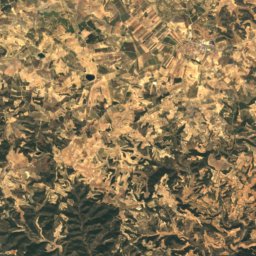
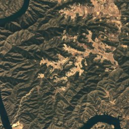
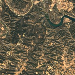
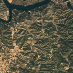
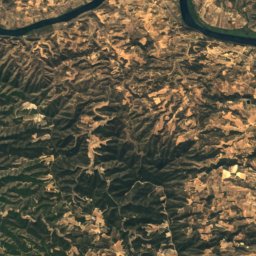
Nature

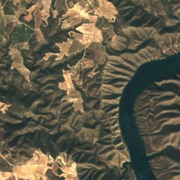
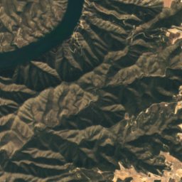
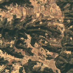
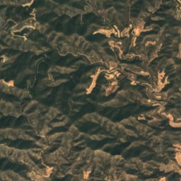
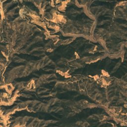
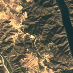
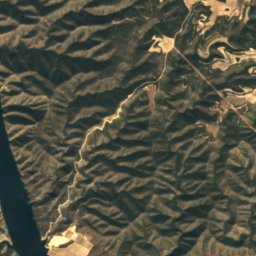
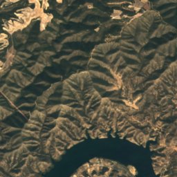
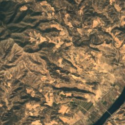
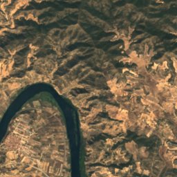
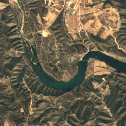
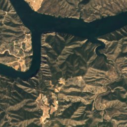
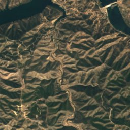
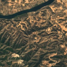
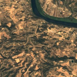
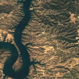
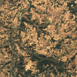
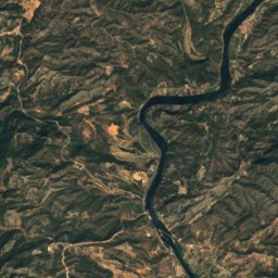
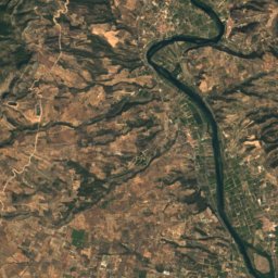
Satellite: Sentinel-2 cloudless 2016 by EOX IT Services GmbH · CC BY 4.0 · Contains modified Copernicus Sentinel data 2016
Ribarroja Reservoir
Lake · 70 m
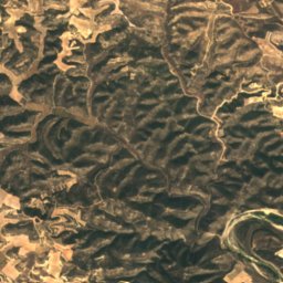
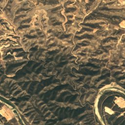
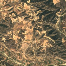
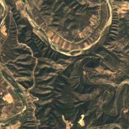
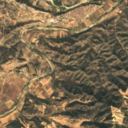
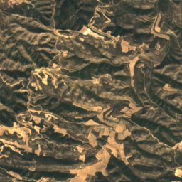
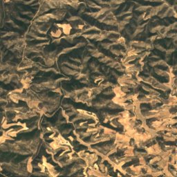
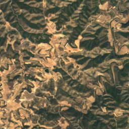
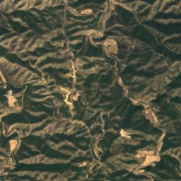
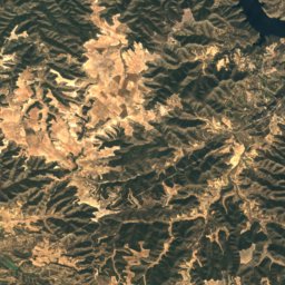
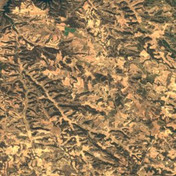
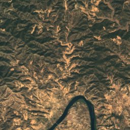
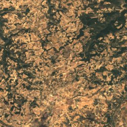
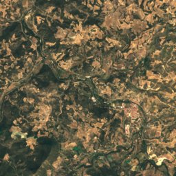
Satellite: Sentinel-2 cloudless 2016 by EOX IT Services GmbH · CC BY 4.0 · Contains modified Copernicus Sentinel data 2016
Cova de Pere Joan
Cave
Mountains
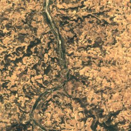
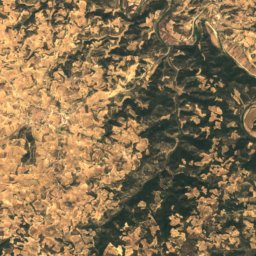
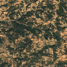
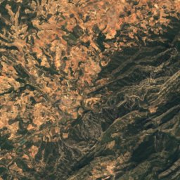
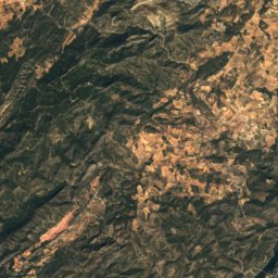
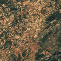
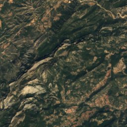
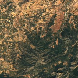
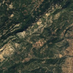
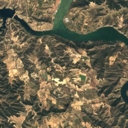
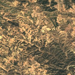
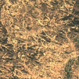
Satellite: Sentinel-2 cloudless 2016 by EOX IT Services GmbH · CC BY 4.0 · Contains modified Copernicus Sentinel data 2016
Punta de la Creueta
1,102 m
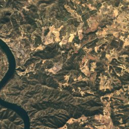
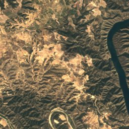
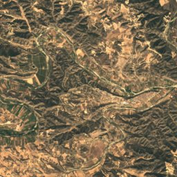
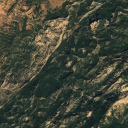
Satellite: Sentinel-2 cloudless 2016 by EOX IT Services GmbH · CC BY 4.0 · Contains modified Copernicus Sentinel data 2016
Punta de l'Aigua
1,092 m

Heritage


La Presó, Almatret
Cultural Asset part of the cultural heritage of Catalonia · 1600

Cal Sant, La Fatarella
Cultural Asset part of the cultural heritage of Catalonia · 1700
Museums



Satellite: Sentinel-2 cloudless 2016 by EOX IT Services GmbH · CC BY 4.0 · Contains modified Copernicus Sentinel data 2016