












Satellite: Sentinel-2 cloudless 2016 by EOX IT Services GmbH · CC BY 4.0 · Contains modified Copernicus Sentinel data 2016

Photo: Rachmat04 · CC BY-SA 3.0 · Wikimedia Commons
Aceh Tsunami MuseumReport this photo · linked, not stored
Aceh Tsunami MuseumAceh Tsunami MuseumReport this photo · linked, not stored
MuseumBanda Aceh, Aceh
Aceh Museum
MuseumFounded 1915
KindMuseumBanda Aceh
Visitors a year–
Founded1915
Best monthsJan–Feb · DecBanda Aceh
5.55° N, 95.32° EUTC+7 · Western Indonesia Time
When to goBanda Aceh · weather score
Best timeJan–Feb · Dec
October: high / low29° / 24°
About
Aceh Museum in brief
Aceh Museum is a museum in Banda Aceh, Aceh, Indonesia.
It was founded in 1915.
For the trip, the weather in Banda Aceh is best in January, February and December; in October afternoons average 29°.
Facts
- Kind
- Museum
- Founded
- 1915
- Town
- Banda Aceh
- Region
- Aceh
- Coordinates
- 5.54858° N, 95.32064° E
Location
Where to find it
Nearby
All museums in IndonesiaMore to see close by
Satellite: Sentinel-2 cloudless 2016 by EOX IT Services GmbH · CC BY 4.0 · Contains modified Copernicus Sentinel data 2016
Putroe Phang Museum
0.3 km SW
Museum
Satellite: Sentinel-2 cloudless 2016 by EOX IT Services GmbH · CC BY 4.0 · Contains modified Copernicus Sentinel data 2016
Museum PLTD Apung
1.6 km W
Museum
Satellite: Sentinel-2 cloudless 2016 by EOX IT Services GmbH · CC BY 4.0 · Contains modified Copernicus Sentinel data 2016
Ali Hasyimi Museum
2.7 km SW
Museum

Satellite: Sentinel-2 cloudless 2016 by EOX IT Services GmbH · CC BY 4.0 · Contains modified Copernicus Sentinel data 2016
Teuku Nyak Arief Museum
5.3 km NE
Museum

Satellite: Sentinel-2 cloudless 2016 by EOX IT Services GmbH · CC BY 4.0 · Contains modified Copernicus Sentinel data 2016
UIN Ar-Raniry Banda Aceh Museum
6.0 km NE
Museum
Around here
Banda Aceh and around

Photo: Photographer's Mate 1st Class Jon Gesch, USN · Public domain · Wikimedia CommonsReport this photo · linked, not stored
Banda Aceh
Aceh · Indonesia
Jan–Feb · Decbest months
30°July high
9 maltitude
Nature

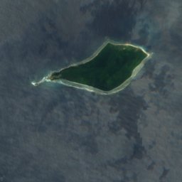


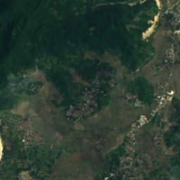
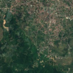


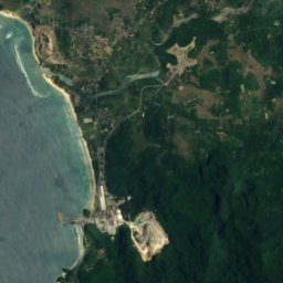
Satellite: Sentinel-2 cloudless 2016 by EOX IT Services GmbH · CC BY 4.0 · Contains modified Copernicus Sentinel data 2016
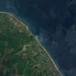
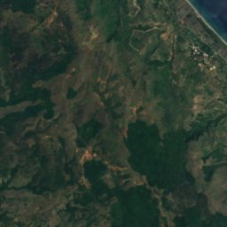
Guha Sarang
Cave · 220 m
Satellite: Sentinel-2 cloudless 2016 by EOX IT Services GmbH · CC BY 4.0 · Contains modified Copernicus Sentinel data 2016
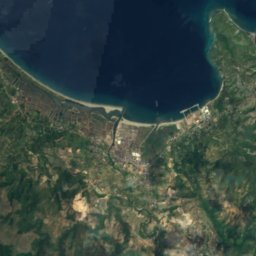
Guha Sikale
Cave · 252 m

Satellite: Sentinel-2 cloudless 2016 by EOX IT Services GmbH · CC BY 4.0 · Contains modified Copernicus Sentinel data 2016
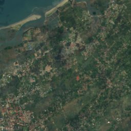
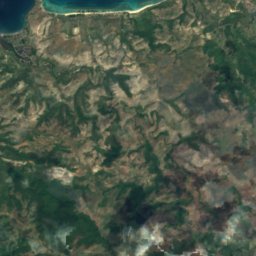
Taleue Teungku Cotbagoh
Lake · 362 m
Mountains


Satellite: Sentinel-2 cloudless 2016 by EOX IT Services GmbH · CC BY 4.0 · Contains modified Copernicus Sentinel data 2016
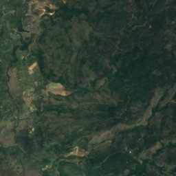
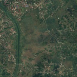
Cot Seulawah Agam
1,810 m · Barisan Mountains
Museums
Satellite: Sentinel-2 cloudless 2016 by EOX IT Services GmbH · CC BY 4.0 · Contains modified Copernicus Sentinel data 2016
Museum PLTD Apung
2004
Satellite: Sentinel-2 cloudless 2016 by EOX IT Services GmbH · CC BY 4.0 · Contains modified Copernicus Sentinel data 2016