
Photo: ChristianT · CC BY-SA 3.0 · Wikimedia Commons
ExploramerReport this photo · linked, not stored
ExploramerReport this photo · linked, not stored
MuseumSainte-Anne-des-Monts, Quebec
Exploramer
Museum
KindMuseumSainte-Anne-des-Monts
Visitors a year18k
Founded–
Best monthsJun–AugSainte-Anne-des-Monts
49.13° N, 66.49° WUTC−4 · Eastern Daylight Time
When to goSainte-Anne-des-Monts · weather score
Best timeJun–Aug
October: high / low9° / 4°
About
Exploramer in brief
Exploramer is a museum in Sainte-Anne-des-Monts, Quebec, Canada.
It welcomes about 18,478 visitors a year.
For the trip, the weather in Sainte-Anne-des-Monts is best in June, July and August; in October afternoons average 9°.
Facts
- Kind
- Museum
- Visitors
- 18,478
- Town
- Sainte-Anne-des-Monts
- Region
- Quebec
- Coordinates
- 49.13097° N, 66.48720° W
Location
Where to find it
Around here
Sainte-Anne-des-Monts and around

Nature


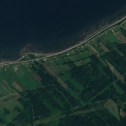
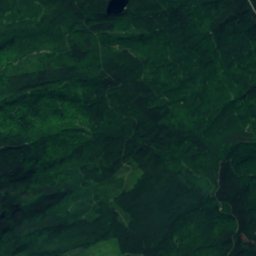
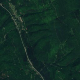
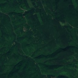
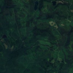
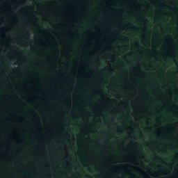
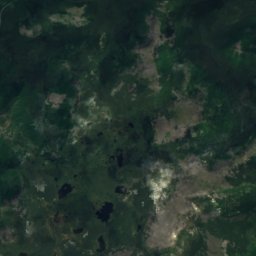
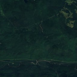
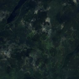
Satellite: Sentinel-2 cloudless 2016 by EOX IT Services GmbH · CC BY 4.0 · Contains modified Copernicus Sentinel data 2016
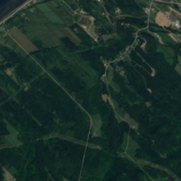
Lac des Thibault
Lake · 200 m
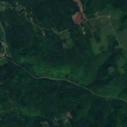
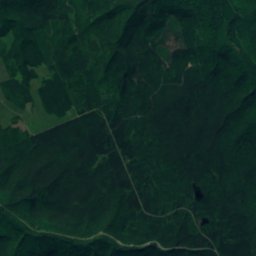
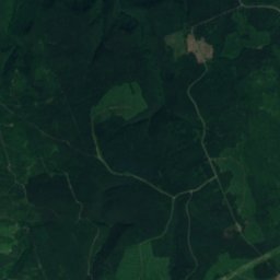
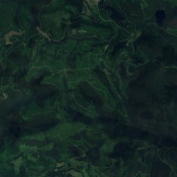
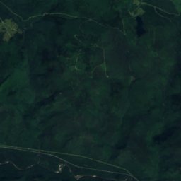
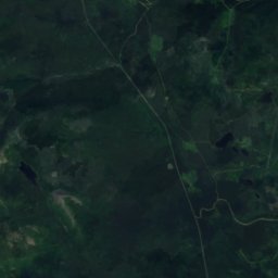
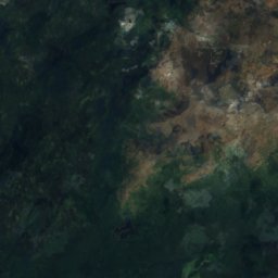
Satellite: Sentinel-2 cloudless 2016 by EOX IT Services GmbH · CC BY 4.0 · Contains modified Copernicus Sentinel data 2016
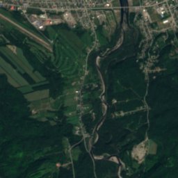
Lac du Quatre, Sainte-Anne-des-Monts
Lake · 315 m
Mountains
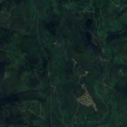
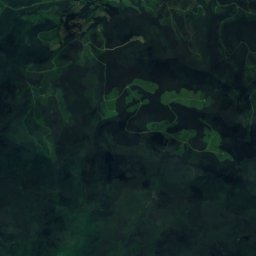
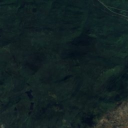
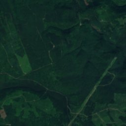
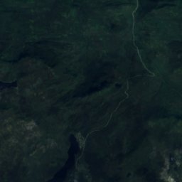
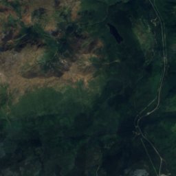
Satellite: Sentinel-2 cloudless 2016 by EOX IT Services GmbH · CC BY 4.0 · Contains modified Copernicus Sentinel data 2016
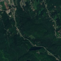
Mont de la Table
1,180 m · McGerrigle Mountains
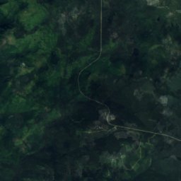
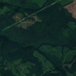
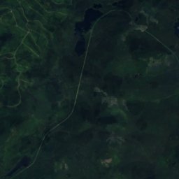
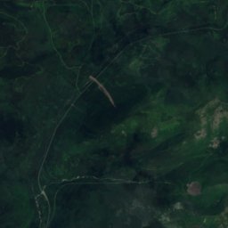
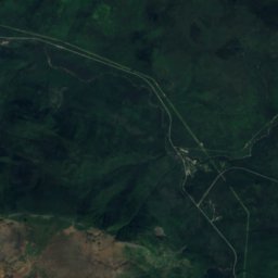
Satellite: Sentinel-2 cloudless 2016 by EOX IT Services GmbH · CC BY 4.0 · Contains modified Copernicus Sentinel data 2016
Sommet Albert Sud
1,154 m


