
Satellite: Sentinel-2 cloudless 2016 by EOX IT Services GmbH · CC BY 4.0 · Contains modified Copernicus Sentinel data 2016
Interpretation centreSainte-Julie, Quebec
Électrium
Interpretation centre
KindInterpretation centreSainte-Julie
Visitors a year–
Founded–
Best monthsMay–Jun · SepSainte-Julie
45.61° N, 73.38° WUTC−4 · Eastern Daylight Time
When to goSainte-Julie · weather score
Best timeMay–Jun · Sep
October: high / low14° / 4°
About
Électrium in brief
Électrium is an interpretation centre in Sainte-Julie, Quebec, Canada.
For the trip, the weather in Sainte-Julie is best in May, June and September; in October afternoons average 14°.
Facts
- Kind
- Interpretation centre
- Town
- Sainte-Julie
- Region
- Quebec
- Coordinates
- 45.60587° N, 73.37844° W
Location
Where to find it
Around here
Sainte-Julie and around

Nature
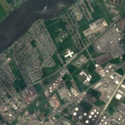
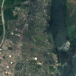
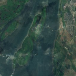
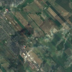
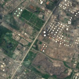
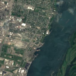
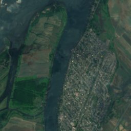
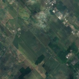
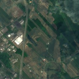
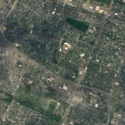
Satellite: Sentinel-2 cloudless 2016 by EOX IT Services GmbH · CC BY 4.0 · Contains modified Copernicus Sentinel data 2016
Rivière aux Pins
River
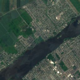
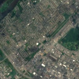
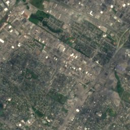
Satellite: Sentinel-2 cloudless 2016 by EOX IT Services GmbH · CC BY 4.0 · Contains modified Copernicus Sentinel data 2016
Rivière Sabrevois
River

Lac du Moulin, Saint-Bruno-de-Montarville
Lake · 81 m
Mountains
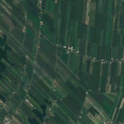
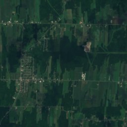
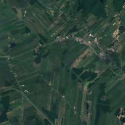
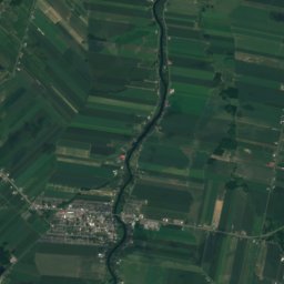
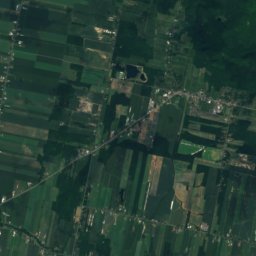
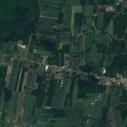
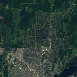
Satellite: Sentinel-2 cloudless 2016 by EOX IT Services GmbH · CC BY 4.0 · Contains modified Copernicus Sentinel data 2016
Mont Yamaska
411 m · Monteregian Hills


Photo: Guillaume Hébert-Jodoin · CC BY 3.0 · Wikimedia CommonsReport this photo · linked, not stored
Mont Rougemont
390 m · Monteregian Hills
Heritage

Photo: JasonParis from Toronto, Canada · CC BY 2.0 · Wikimedia CommonsReport this photo · linked, not stored
Co-Cathedral of Saint-Antoine-de-Padoue
classified heritage immovable · 1887


Museums
Satellite: Sentinel-2 cloudless 2016 by EOX IT Services GmbH · CC BY 4.0 · Contains modified Copernicus Sentinel data 2016
Quebec Aerospace Museum

The Museum of Fine Arts, Mont-Saint-Hilaire
Art museum · 1995


Satellite: Sentinel-2 cloudless 2016 by EOX IT Services GmbH · CC BY 4.0 · Contains modified Copernicus Sentinel data 2016
Women's Museum
2007