
Photo: Jonathan Fox · CC BY-SA 2.0 · Wikimedia Commons
Ruby PeakReport this photo · linked, not stored
Ruby PeakReport this photo · linked, not stored

Photo: Dcrjsr · CC BY-SA 3.0 · Wikimedia Commons
Mount HumphreysReport this photo · linked, not stored
Mount HumphreysMount HumphreysReport this photo · linked, not stored

Photo: Gregory Bryson from San Diego, CA, USA · CC BY 2.0 · Wikimedia Commons
Mount Morgan (Inyo County, California)Report this photo · linked, not stored
Mount Morgan (Inyo County, California)Mount Morgan (Inyo County, California)Report this photo · linked, not stored
 Mount Gabb

Photo: Will Beback at the English-language Wikipedia · CC BY-SA 3.0 · Wikimedia Commons
Bear Creek SpireReport this photo · linked, not stored
Bear Creek SpireBear Creek SpireReport this photo · linked, not stored
Sierra Nevada · California · United StatesSummit weather, forecast and climate
Ruby Peak
13,194 ftSnow likely Jan–May · Oct–Dec
Elevation13,194 ftabove sea level
Prominence588 ftindependent height
Isolation1.2 mito a higher summit
Summit, Jul66°average high
37.41° N, 118.78° WElevation 13,194 ftUTC−7 · Pacific Daylight Time
From the valley to the top
- Summit13,194 ft
- Mid-mountain9,875 ft
- Valley · Swall Meadows6,558 ft
Freezing level in October: above the summit
iThe mountain
Ruby Peak in brief
Ruby Peak rises to 13,194 ft in the Sierra Nevada, California, United States. Its topographic prominence — the height it stands above the lowest contour enclosing a higher summit — is 588 ft.
At the summit, July is the mildest month with average highs of 66°, while nights fall below freezing in 9 months of the year. Daytime highs climb above zero from May to October.
The nearest town is Swall Meadows, 10 mi to the NE at 6,558 ft.
Facts
- Elevation
- 13,194 ft
- Prominence
- 588 ft
- Range
- Sierra Nevada
- Region
- California
- Country
- United States
- Coordinates
- 37.4089, -118.7820
- Nearest airport
- Mammoth Yosemite Airport (MMH) · 15 mi
iiForecast
Weather at three heights
Temperatures are adjusted to each height; summits are usually colder and windier than the valley forecast suggests.
Loading the latest forecast…
Loading the latest forecast…
Loading the latest forecast…
iiiSummit climate
The top of Ruby Peak by month
Summit temperatures and precipitation
Climate normals for the summit area (~1 km grid), station-adjusted| Month | Jan | Feb | Mar | Apr | May | Jun | Jul | Aug | Sep | Oct | Nov | Dec |
|---|---|---|---|---|---|---|---|---|---|---|---|---|
| Average high | 20° | 20° | 24° | 29° | 41° | 56° | 66° | 64° | 55° | 43° | 29° | 20° |
| Average low | 1° | 2° | 5° | 10° | 19° | 31° | 42° | 40° | 32° | 21° | 9° | 1° |
| Precipitation | 8.8 in | 8.1 in | 6.9 in | 3.5 in | 2.4 in | 1.4 in | 1.8 in | 1.7 in | 1.9 in | 3.1 in | 5.1 in | 8.0 in |
| Cloud cover | 40% | 44% | 37% | 32% | 26% | 16% | 14% | 12% | 13% | 19% | 31% | 38% |
| Daylight | 9h 52 | 10h 50 | 11h 56 | 13h 10 | 14h 11 | 14h 44 | 14h 30 | 13h 37 | 12h 27 | 11h 16 | 10h 10 | 9h 36 |
| Month score | 21 | 19 | 22 | 33 | 41 | 65 | 87 | 86 | 60 | 36 | 25 | 22 |
Snow and freezing level
Average height of the 0 °C level from the summit normals (6.5 °C per km); snow months have a summit mean at or below +1 °C| Month | Jan | Feb | Mar | Apr | May | Jun | Jul | Aug | Sep | Oct | Nov | Dec |
|---|---|---|---|---|---|---|---|---|---|---|---|---|
| Freezing level | 7,218 ft | 7,218 ft | 8,202 ft | 9,678 ft | 12,631 ft | 16,404 ft | 19,193 ft | 18,865 ft | 16,404 ft | 13,287 ft | 9,514 ft | 7,218 ft |
| Summit | ❄ snow | ❄ snow | ❄ snow | ❄ snow | ❄ snow | above 0 °C | above 0 °C | above 0 °C | above 0 °C | ❄ snow | ❄ snow | ❄ snow |
ivTerrain
Ruby Peak in 3D
vNeighbours
Mountains of the United StatesPeaks nearby
| Mountain | Elevation | Prominence | Distance | July summit high |
|---|---|---|---|---|
| Mount Humphreys | 13,992 ft | 2,563 ft | 11 mi SE | 63° |
| Mount Morgan (Inyo County, California) | 13,754 ft | 2,628 ft | 2.7 mi E | 65° |
| Mount Gabb | 13,747 ft | 2,581 ft | 2.5 mi SW | 64° |
| Bear Creek Spire | 13,726 ft | 1,440 ft | 2.9 mi S | 64° |
| Mount Abbot | 13,704 ft | 864 ft | 1.6 mi S | 64° |
| Mount Tom (California) | 13,658 ft | 1,972 ft | 8.4 mi SE | 64° |
| Mount Dade | 13,593 ft | – | 1.9 mi S | 64° |
| Mount Mills | 13,457 ft | 451 ft | 1.2 mi SW | 64° |
viBase towns
Where to stay nearby
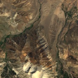
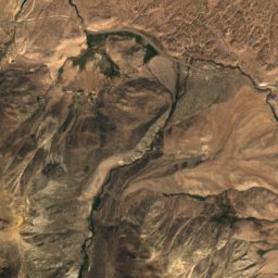
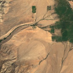
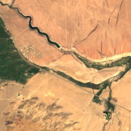
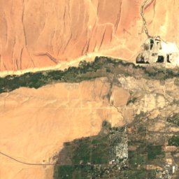
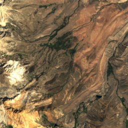
Satellite: Sentinel-2 cloudless 2016 by EOX IT Services GmbH · CC BY 4.0 · Contains modified Copernicus Sentinel data 2016
Round Valley
California · 11 mi E
73°Oct high
3wet days
93score
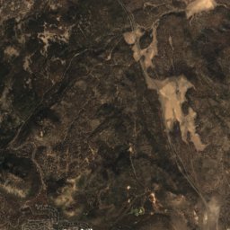
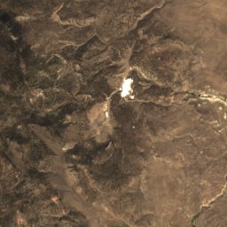
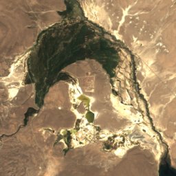
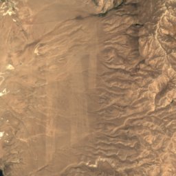
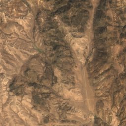
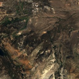
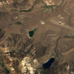
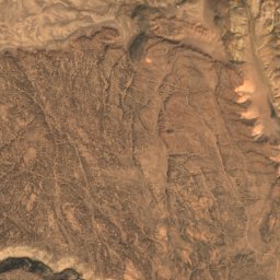
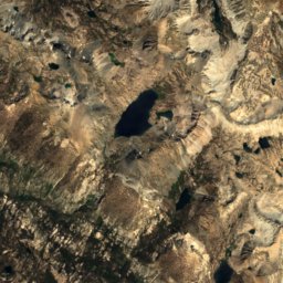
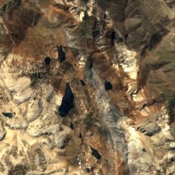
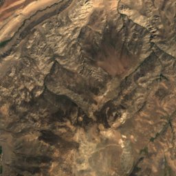
Satellite: Sentinel-2 cloudless 2016 by EOX IT Services GmbH · CC BY 4.0 · Contains modified Copernicus Sentinel data 2016
Crowley Lake
California · 11 mi N
64°Oct high
3wet days
92score

Around here
Swall Meadows and around

Swall Meadows
California · United States
Jun · Sep–Octbest months
82°July high
6,558 ftaltitude
Nature

Photo: Jane S. Richardson (talk · contribs) · CC BY-SA 3.0 · Wikimedia CommonsReport this photo · linked, not stored
Rock Creek, California
River
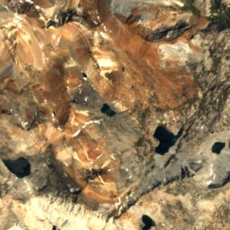
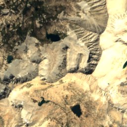
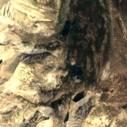
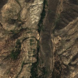
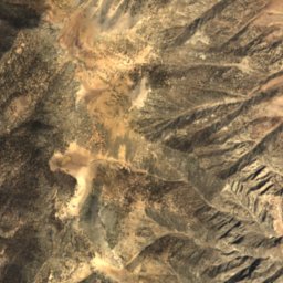
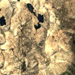
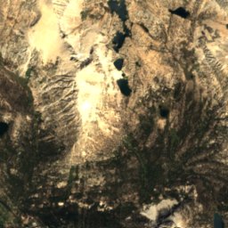
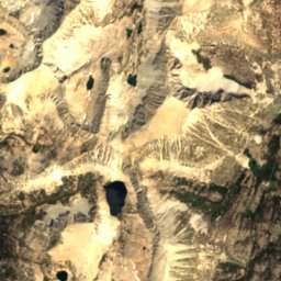
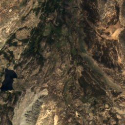
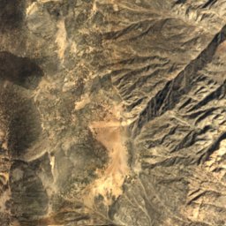
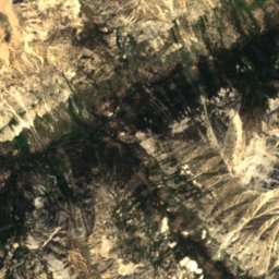
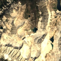
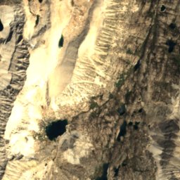
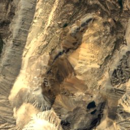
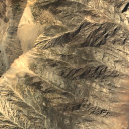
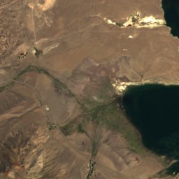
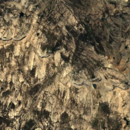
Satellite: Sentinel-2 cloudless 2016 by EOX IT Services GmbH · CC BY 4.0 · Contains modified Copernicus Sentinel data 2016
Rock Creek Lake, Swall Meadows
Lake · 9,715 ft
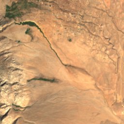
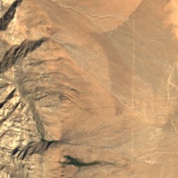
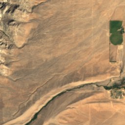
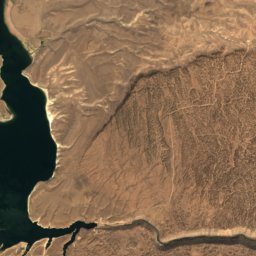
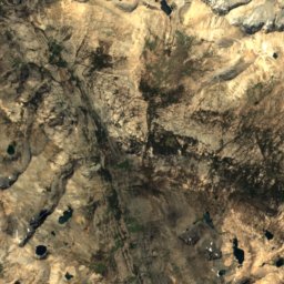
Satellite: Sentinel-2 cloudless 2016 by EOX IT Services GmbH · CC BY 4.0 · Contains modified Copernicus Sentinel data 2016
Dorothy Lake, California
Lake
Mountains

Photo: JonathanLamb (talk · contribs) · CC BY 3.0 · Wikimedia CommonsReport this photo · linked, not stored
White Mountain Peak
14,252 ft · White Mountains
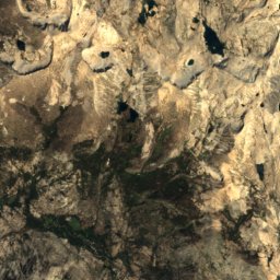
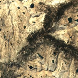
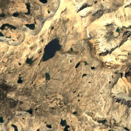
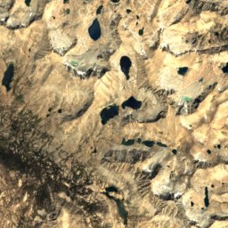
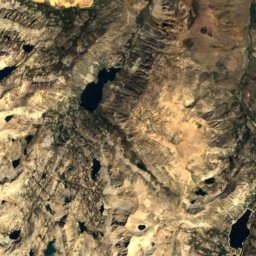


Satellite: Sentinel-2 cloudless 2016 by EOX IT Services GmbH · CC BY 4.0 · Contains modified Copernicus Sentinel data 2016
Mount Darwin
13,837 ft · Evolution Group