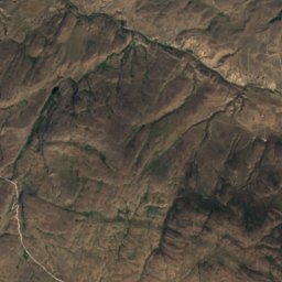
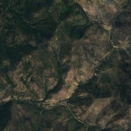
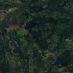
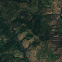
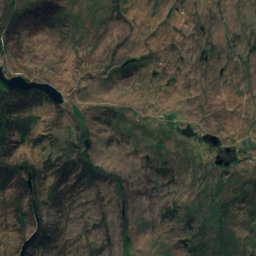
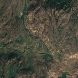
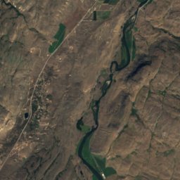
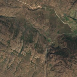
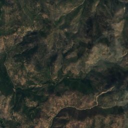
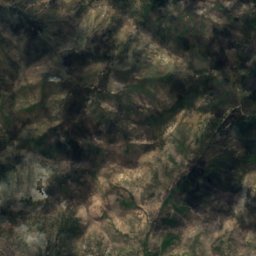
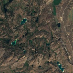
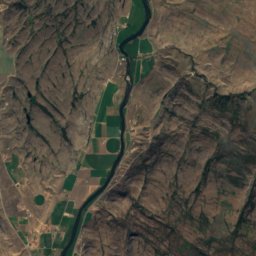
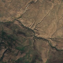
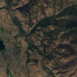
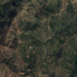
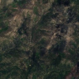
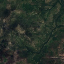
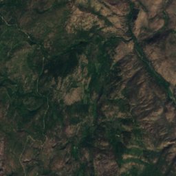
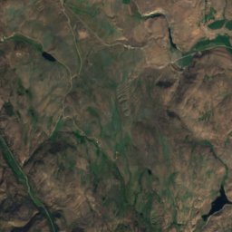
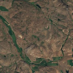
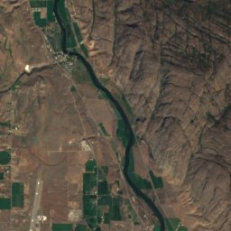
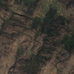
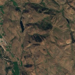
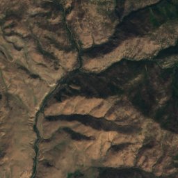
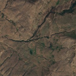
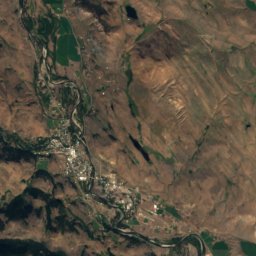
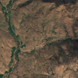
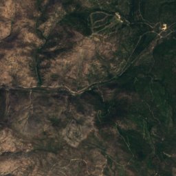
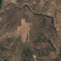
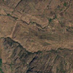
Satellite: Sentinel-2 cloudless 2016 by EOX IT Services GmbH · CC BY 4.0 · Contains modified Copernicus Sentinel data 2016
Cascade Range · Washington · United StatesSummit weather, forecast and climate
Ruby Hill
4,957 ftSnow likely Jan–Mar · Nov–Dec
Elevation4,957 ftabove sea level
Prominence–independent height
Isolation14 mito a higher summit
Summit, Jul73°average high
48.46° N, 119.74° WElevation 4,957 ftUTC−7 · Pacific Daylight Time
From the valley to the top
- Summit4,957 ft
- Mid-mountain3,642 ft
- Valley · Conconully2,303 ft
Freezing level in October: above the summit
iThe mountain
Ruby Hill in brief
Ruby Hill rises to 4,957 ft in the Cascade Range, Washington, United States.
At the summit, July is the mildest month with average highs of 73°, while nights fall below freezing in 8 months of the year. Daytime highs climb above zero from March to November.
The nearest town is Conconully, 6.5 mi to the N at 2,303 ft.
Facts
- Elevation
- 4,957 ft
- Range
- Cascade Range
- Region
- Washington
- Country
- United States
- Coordinates
- 48.4639, -119.7378
- Nearest airport
- Penticton Airport (YYF) · 69 mi
iiForecast
Weather at three heights
Temperatures are adjusted to each height; summits are usually colder and windier than the valley forecast suggests.
Loading the latest forecast…
Loading the latest forecast…
Loading the latest forecast…
iiiSummit climate
The top of Ruby Hill by month
Summit temperatures and precipitation
Climate normals for the summit area (~1 km grid), station-adjusted| Month | Jan | Feb | Mar | Apr | May | Jun | Jul | Aug | Sep | Oct | Nov | Dec |
|---|---|---|---|---|---|---|---|---|---|---|---|---|
| Average high | 26° | 30° | 37° | 46° | 57° | 65° | 73° | 73° | 64° | 49° | 33° | 24° |
| Average low | 12° | 14° | 19° | 24° | 32° | 39° | 45° | 45° | 37° | 28° | 18° | 10° |
| Precipitation | 2.9 in | 2.4 in | 1.9 in | 1.4 in | 2.4 in | 2.4 in | 1.2 in | 0.8 in | 1.0 in | 1.9 in | 3.3 in | 3.7 in |
| Cloud cover | 54% | 48% | 46% | 41% | 36% | 31% | 19% | 20% | 23% | 37% | 53% | 53% |
| Daylight | 8h 45 | 10h 14 | 11h 51 | 13h 41 | 15h 14 | 16h 06 | 15h 43 | 14h 22 | 12h 37 | 10h 52 | 9h 14 | 8h 20 |
| Month score | 28 | 33 | 38 | 44 | 60 | 83 | 92 | 95 | 91 | 42 | 25 | 23 |
Snow and freezing level
Average height of the 0 °C level from the summit normals (6.5 °C per km); snow months have a summit mean at or below +1 °C| Month | Jan | Feb | Mar | Apr | May | Jun | Jul | Aug | Sep | Oct | Nov | Dec |
|---|---|---|---|---|---|---|---|---|---|---|---|---|
| Freezing level | 1,312 ft | 2,133 ft | 3,773 ft | 5,741 ft | 8,530 ft | 10,499 ft | 12,631 ft | 12,467 ft | 10,171 ft | 6,726 ft | 3,117 ft | 656 ft |
| Summit | ❄ snow | ❄ snow | ❄ snow | above 0 °C | above 0 °C | above 0 °C | above 0 °C | above 0 °C | above 0 °C | above 0 °C | ❄ snow | ❄ snow |
ivTerrain
Ruby Hill in 3D
vNeighbours
Mountains of the United StatesPeaks nearby
| Mountain | Elevation | Prominence | Distance | July summit high |
|---|---|---|---|---|
| Pearrygin Peak | 6,644 ft | – | 14 mi W | 66° |
| Blue Buck Mountain | 6,217 ft | – | 14 mi W | 69° |
| Cougar Mountain, Conconully | 5,656 ft | – | 15 mi N | 70° |
| Blue Goat Mountain | 5,056 ft | – | 14 mi N | 72° |
| Bald Butte | 5,013 ft | – | 14 mi N | 72° |
| Peacock Mountain | 4,495 ft | 1,247 ft | 3.6 mi N | 77° |
| Wright Mountain, Okanogan | 4,321 ft | – | 2.9 mi SE | 78° |
| Little Peacock Mountain | 4,173 ft | – | 4.4 mi N | 77° |
viBase towns
Where to stay nearby


Around here
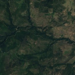
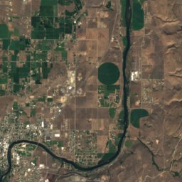
Conconully and around
Nature
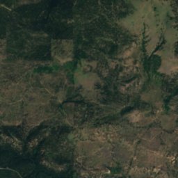
Satellite: Sentinel-2 cloudless 2016 by EOX IT Services GmbH · CC BY 4.0 · Contains modified Copernicus Sentinel data 2016
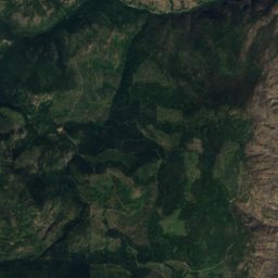
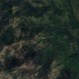
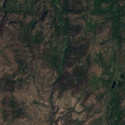
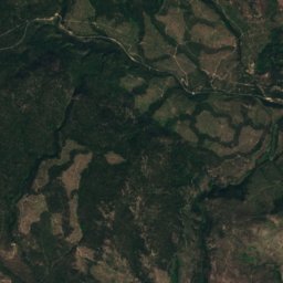
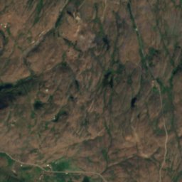
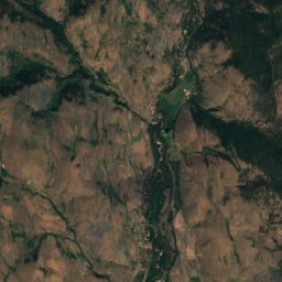
Wilder Creek
River
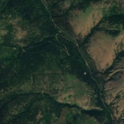
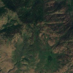
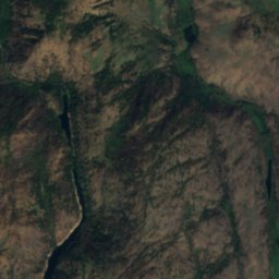
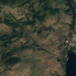
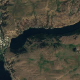
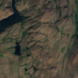
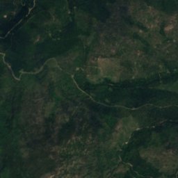
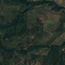
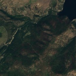
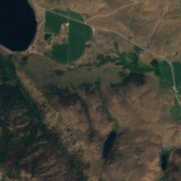
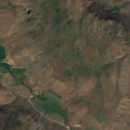
Satellite: Sentinel-2 cloudless 2016 by EOX IT Services GmbH · CC BY 4.0 · Contains modified Copernicus Sentinel data 2016
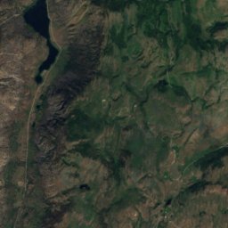
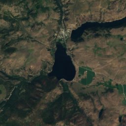
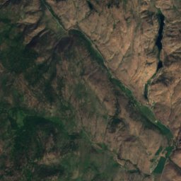
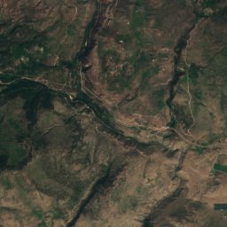
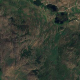
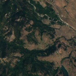
Conconully Reservoir
Lake · 2,287 ft
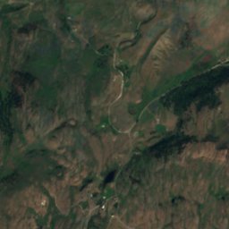
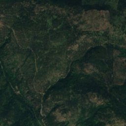
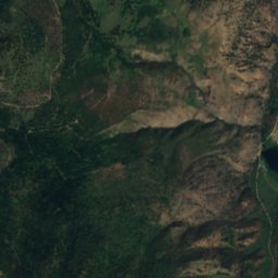
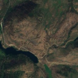
Satellite: Sentinel-2 cloudless 2016 by EOX IT Services GmbH · CC BY 4.0 · Contains modified Copernicus Sentinel data 2016
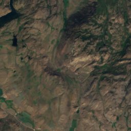
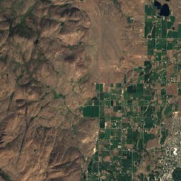
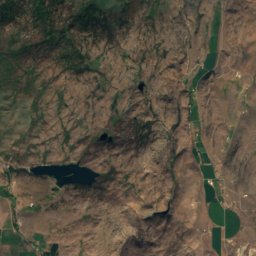
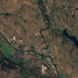
Fish Lake, Conconully
Lake · 1,808 ft
Mountains

Photo: Walter Siegmund (talk) · CC BY-SA 3.0 · Wikimedia CommonsReport this photo · linked, not stored
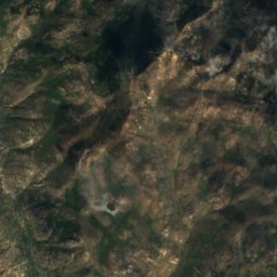
Primus Peak
8,508 ft · Cascade Range
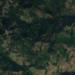
Satellite: Sentinel-2 cloudless 2016 by EOX IT Services GmbH · CC BY 4.0 · Contains modified Copernicus Sentinel data 2016
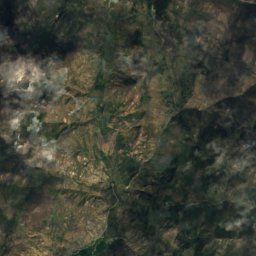
Thunder Mountain, Washington
7,064 ft · Okanagan Range
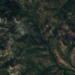
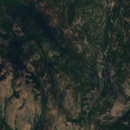
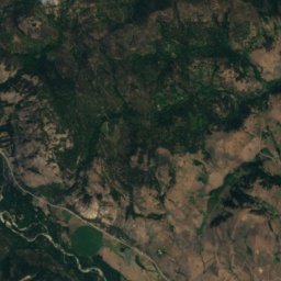
Satellite: Sentinel-2 cloudless 2016 by EOX IT Services GmbH · CC BY 4.0 · Contains modified Copernicus Sentinel data 2016
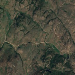
Pearrygin Peak
6,644 ft · Okanagan Range
Heritage




Satellite: Sentinel-2 cloudless 2016 by EOX IT Services GmbH · CC BY 4.0 · Contains modified Copernicus Sentinel data 2016
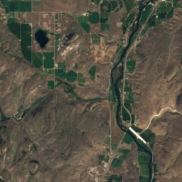
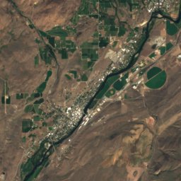
Conconully Dam
National Register of Historic Places listed place