
 Thomas Peak

Photo: Jonathan Fox · CC BY-SA 2.0 · Wikimedia Commons
Liberty PeakReport this photo · linked, not stored
Liberty PeakLiberty PeakReport this photo · linked, not stored
Ruby Mountains · Nevada · United StatesSummit weather, forecast and climate
Ruby Dome
11,388 ftMajor summitSnow likely Jan–Apr · Oct–Dec
Elevation11,388 ftabove sea level
Prominence4,793 ftindependent height
Isolation96 mito a higher summit
Summit, Jul69°average high
40.62° N, 115.48° WElevation 11,388 ftUTC−7 · Pacific Daylight Time
From the valley to the top
- Summit11,388 ft
- Mid-mountain8,629 ft
- Valley · Lamoille5,889 ft
Freezing level in October: above the summit
iThe mountain
Ruby Dome in brief
Ruby Dome rises to 11,388 ft in the Ruby Mountains, Nevada, United States. Its topographic prominence — the height it stands above the lowest contour enclosing a higher summit — is 4,793 ft, a major independent summit.
At the summit, July is the mildest month with average highs of 69°, while nights fall below freezing in 8 months of the year. Daytime highs climb above zero from April to October.
The nearest town is Lamoille, 7.3 mi to the N at 5,889 ft.
Facts
- Elevation
- 11,388 ft
- Prominence
- 4,793 ft
- Range
- Ruby Mountains
- Region
- Nevada
- Country
- United States
- Coordinates
- 40.6219, -115.4751
- Nearest airport
- Elko Regional Airport (EKO) · 22 mi
iiForecast
Weather at three heights
Temperatures are adjusted to each height; summits are usually colder and windier than the valley forecast suggests.
Loading the latest forecast…
Loading the latest forecast…
Loading the latest forecast…
iiiSummit climate
The top of Ruby Dome by month
Summit temperatures and precipitation
Climate normals for the summit area (~1 km grid), station-adjusted| Month | Jan | Feb | Mar | Apr | May | Jun | Jul | Aug | Sep | Oct | Nov | Dec |
|---|---|---|---|---|---|---|---|---|---|---|---|---|
| Average high | 15° | 18° | 26° | 35° | 47° | 59° | 69° | 67° | 57° | 43° | 27° | 15° |
| Average low | -1° | 1° | 7° | 13° | 24° | 33° | 43° | 41° | 33° | 21° | 8° | -2° |
| Precipitation | 2.9 in | 2.5 in | 3.3 in | 3.8 in | 4.0 in | 2.6 in | 1.0 in | 1.3 in | 1.8 in | 2.5 in | 3.1 in | 3.3 in |
| Cloud cover | 47% | 47% | 45% | 42% | 35% | 24% | 17% | 17% | 18% | 28% | 42% | 46% |
| Daylight | 9h 35 | 10h 41 | 11h 55 | 13h 17 | 14h 26 | 15h 04 | 14h 48 | 13h 48 | 12h 29 | 11h 10 | 9h 56 | 9h 17 |
| Month score | 31 | 33 | 29 | 27 | 28 | 65 | 93 | 91 | 66 | 40 | 31 | 28 |
Snow and freezing level
Average height of the 0 °C level from the summit normals (6.5 °C per km); snow months have a summit mean at or below +1 °C| Month | Jan | Feb | Mar | Apr | May | Jun | Jul | Aug | Sep | Oct | Nov | Dec |
|---|---|---|---|---|---|---|---|---|---|---|---|---|
| Freezing level | 4,265 ft | 4,921 ft | 7,054 ft | 9,186 ft | 12,303 ft | 15,256 ft | 18,045 ft | 17,552 ft | 14,928 ft | 11,483 ft | 7,218 ft | 4,265 ft |
| Summit | ❄ snow | ❄ snow | ❄ snow | ❄ snow | above 0 °C | above 0 °C | above 0 °C | above 0 °C | above 0 °C | ❄ snow | ❄ snow | ❄ snow |
ivTerrain
Ruby Dome in 3D
vNeighbours
Mountains of the United StatesPeaks nearby
| Mountain | Elevation | Prominence | Distance | July summit high |
|---|---|---|---|---|
| Thomas Peak | 11,321 ft | 1,050 ft | 4.3 mi E | 70° |
| Snow Lake Peak | 11,142 ft | – | 4.3 mi E | 70° |
| Mount Gilbert (Nevada) | 11,125 ft | – | 1.5 mi E | 70° |
| Verdi Peaks | 11,074 ft | 1,218 ft | 6.3 mi E | 70° |
| Liberty Peak | 11,037 ft | 752 ft | 4.6 mi SE | 70° |
| King Peak (Nevada) | 11,036 ft | 1,311 ft | 10 mi S | 70° |
viBase towns
Where to stay nearby


Around here
Lamoille and around
Nature

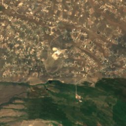
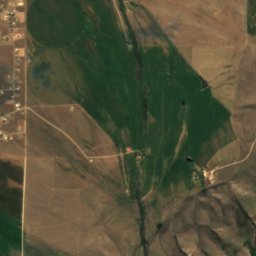
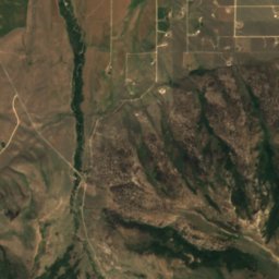
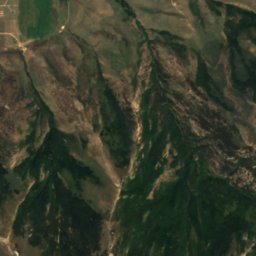
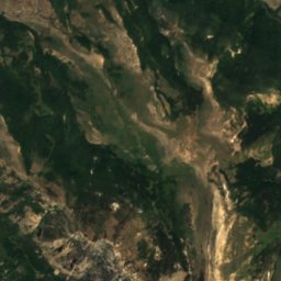
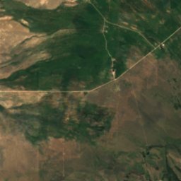
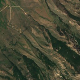
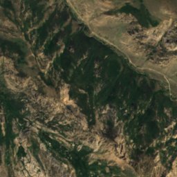
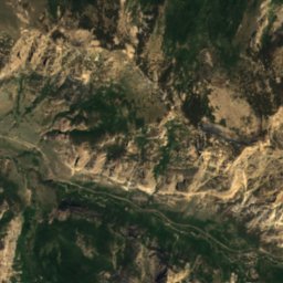
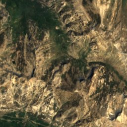
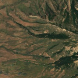
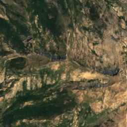
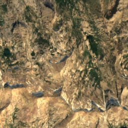
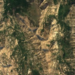
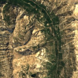
Satellite: Sentinel-2 cloudless 2016 by EOX IT Services GmbH · CC BY 4.0 · Contains modified Copernicus Sentinel data 2016
Seitz Lake, Nevada
Lake

Mountains

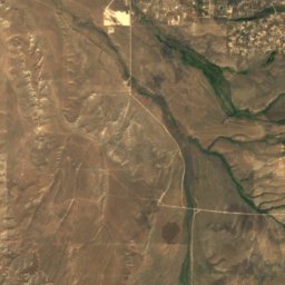
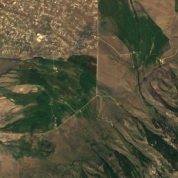
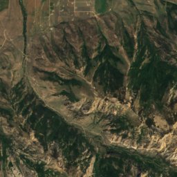
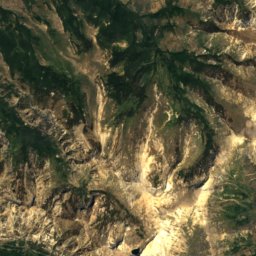
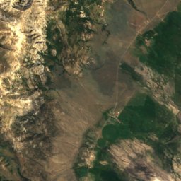
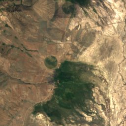
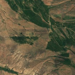
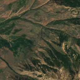
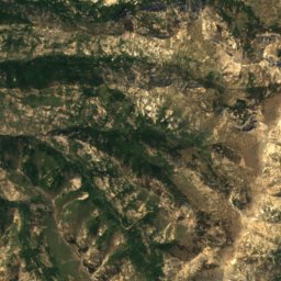
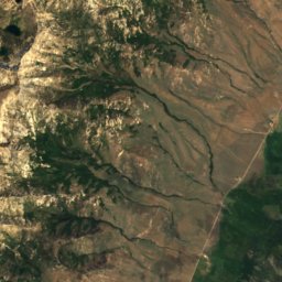
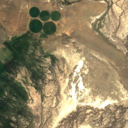


Satellite: Sentinel-2 cloudless 2016 by EOX IT Services GmbH · CC BY 4.0 · Contains modified Copernicus Sentinel data 2016
Snow Lake Peak
11,142 ft · Ruby Mountains