
Photo: Jarek Tuszyński / CC-BY-SA-4.0 · CC BY-SA 4.0 · Wikimedia Commons
River KnobsReport this photo · linked, not stored
River KnobsReport this photo · linked, not stored

Photo: Valerius Tygart · CC BY-SA 3.0 · Wikimedia Commons
Spruce Mountain (West Virginia)Report this photo · linked, not stored
Spruce Mountain (West Virginia)Spruce Mountain (West Virginia)Report this photo · linked, not stored

Photo: Pytheas at the English-language Wikipedia · CC BY-SA 3.0 · Wikimedia Commons
North Fork MountainReport this photo · linked, not stored
North Fork MountainNorth Fork MountainReport this photo · linked, not stored

Photo: Jll206 · CC BY-SA 4.0 · Wikimedia Commons
Castle Mountain (Pendleton County, West Virginia)Report this photo · linked, not stored
Castle Mountain (Pendleton County, West Virginia)Castle Mountain (Pendleton County, West Virginia)Report this photo · linked, not stored
Allegheny Mountains · West Virginia · United StatesSummit weather, forecast and climate
River Knobs
2,854 ftSnow likely Jan–Feb
Elevation2,854 ftabove sea level
Prominence–independent height
Isolation2.6 mito a higher summit
Summit, Jul82°average high
38.74° N, 79.43° WElevation 2,854 ftUTC−4 · Eastern Daylight Time
From the valley to the top
- Summit2,854 ft
- Mid-mountain2,198 ft
- Valley · Seneca Rocks1,568 ft
Freezing level in October: above the summit
iThe mountain
River Knobs in brief
River Knobs rises to 2,854 ft in the Allegheny Mountains, West Virginia, United States.
At the summit, July is the mildest month with average highs of 82°, while nights fall below freezing in 5 months of the year.
The nearest town in the atlas is Seneca Rocks, 7.5 mi to the NE at 1,568 ft.
Facts
- Elevation
- 2,854 ft
- Range
- Allegheny Mountains
- Region
- West Virginia
- Country
- United States
- Coordinates
- 38.7369, -79.4347
- Nearest airport
- Shenandoah Valley Regional Airport (SHD) · 44 mi
iiForecast
Weather at three heights
Temperatures are adjusted to each height; summits are usually colder and windier than the valley forecast suggests.
Loading the latest forecast…
Loading the latest forecast…
Loading the latest forecast…
iiiSummit climate
The top of River Knobs by month
Summit temperatures and precipitation
Climate normals for the summit area (~1 km grid), station-adjusted| Month | Jan | Feb | Mar | Apr | May | Jun | Jul | Aug | Sep | Oct | Nov | Dec |
|---|---|---|---|---|---|---|---|---|---|---|---|---|
| Average high | 40° | 43° | 51° | 64° | 72° | 79° | 82° | 81° | 75° | 65° | 53° | 43° |
| Average low | 20° | 22° | 29° | 38° | 48° | 56° | 60° | 58° | 52° | 40° | 31° | 25° |
| Precipitation | 2.9 in | 2.7 in | 3.7 in | 3.8 in | 4.8 in | 4.2 in | 4.8 in | 3.9 in | 3.6 in | 3.1 in | 3.1 in | 3.0 in |
| Cloud cover | 46% | 45% | 42% | 39% | 37% | 34% | 31% | 31% | 33% | 33% | 40% | 45% |
| Daylight | 9h 45 | 10h 46 | 11h 55 | 13h 12 | 14h 17 | 14h 52 | 14h 37 | 13h 42 | 12h 28 | 11h 13 | 10h 05 | 9h 28 |
| Month score | 31 | 33 | 32 | 68 | 64 | 65 | 55 | 63 | 74 | 77 | 41 | 31 |
Snow and freezing level
Average height of the 0 °C level from the summit normals (6.5 °C per km); snow months have a summit mean at or below +1 °C| Month | Jan | Feb | Mar | Apr | May | Jun | Jul | Aug | Sep | Oct | Nov | Dec |
|---|---|---|---|---|---|---|---|---|---|---|---|---|
| Freezing level | 2,297 ft | 2,953 ft | 5,085 ft | 8,038 ft | 10,663 ft | 12,795 ft | 13,780 ft | 13,451 ft | 11,647 ft | 8,694 ft | 5,577 ft | 3,445 ft |
| Summit | ❄ snow | ❄ snow | above 0 °C | above 0 °C | above 0 °C | above 0 °C | above 0 °C | above 0 °C | above 0 °C | above 0 °C | above 0 °C | above 0 °C |
ivTerrain
River Knobs in 3D
vNeighbours
Mountains of the United StatesPeaks nearby
| Mountain | Elevation | Prominence | Distance | July summit high |
|---|---|---|---|---|
| Spruce Mountain (West Virginia) | 4,863 ft | – | 2.6 mi W | 75° |
| Spruce Knob | 4,862 ft | 2,781 ft | 5.9 mi SW | 71° |
| North Fork Mountain | 4,588 ft | – | 4.8 mi S | 74° |
| Castle Mountain (Pendleton County, West Virginia) | 3,410 ft | 492 ft | 6.3 mi S | 78° |
viBase towns
Where to stay nearby


Photo: Jarek Tuszyński / CC-BY-3.0 & GDFL · CC BY 3.0 · Wikimedia CommonsReport this photo · linked, not stored
Upper Tract
West Virginia · 8.9 mi NE
67°Oct high
9wet days
78score

Photo: Jarek Tuszyński / CC-BY-3.0 & GDFL · CC BY 3.0 · Wikimedia CommonsReport this photo · linked, not stored
Ketterman
West Virginia · 14 mi NE
67°Oct high
9wet days
78score
Around here
Seneca Rocks and around

Seneca Rocks
West Virginia · United States
Apr · Sep–Octbest months
84°July high
1,568 ftaltitude
Nature

Photo: http://www.ForestWander.com · CC BY-SA 3.0 us · Wikimedia CommonsReport this photo · linked, not stored
Seneca Caverns, West Virginia
Cave


Photo: Saeriebearie&gregory · CC BY-SA 3.0 · Wikimedia CommonsReport this photo · linked, not stored
Smoke Hole Caverns
Cave
Mountains
Spruce Mountain (West Virginia)
4,863 ft · Allegheny Mountains
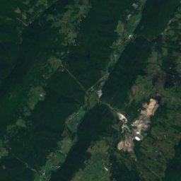
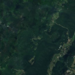
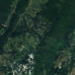
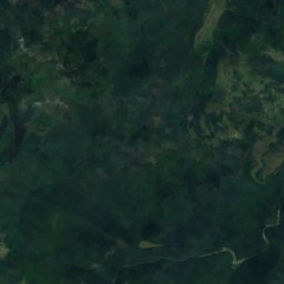
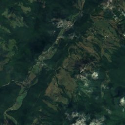
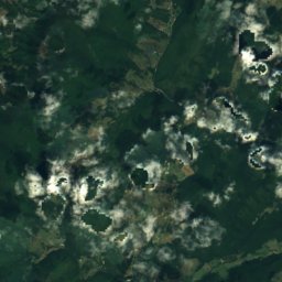
Satellite: Sentinel-2 cloudless 2016 by EOX IT Services GmbH · CC BY 4.0 · Contains modified Copernicus Sentinel data 2016
Spruce Knob
4,862 ft · Allegheny Mountains
Photo: Pytheas at the English-language Wikipedia · CC BY-SA 3.0 · Wikimedia CommonsReport this photo · linked, not stored
North Fork Mountain
4,588 ft · Allegheny Mountains
Heritage






Satellite: Sentinel-2 cloudless 2016 by EOX IT Services GmbH · CC BY 4.0 · Contains modified Copernicus Sentinel data 2016
Boggs Mill
National Register of Historic Places listed place

Photo: Jarek Tuszyński / CC-BY-3.0 & GDFL · CC BY 3.0 · Wikimedia CommonsReport this photo · linked, not stored

Germany Valley
National Natural Landmark