
Photo: Mark Clifton · CC BY-SA 2.0 · Wikimedia Commons
Pixie MountainReport this photo · linked, not stored
Pixie MountainReport this photo · linked, not stored
 Grassy Ridge Bald

Photo: Original uploader was KyleAndMelissa22 at en.wikipedia · Public domain · Wikimedia Commons
Grandfather MountainReport this photo · linked, not stored
Grandfather MountainGrandfather MountainReport this photo · linked, not stored
 Beech Mountain

Photo: Thomson200 · CC0 · Wikimedia Commons
Little Yellow MountainReport this photo · linked, not stored
Little Yellow MountainLittle Yellow MountainReport this photo · linked, not stored
Blue Ridge Mountains · North Carolina · United StatesSummit weather, forecast and climate
Pixie Mountain
4,058 ftSnow likely Jan
Elevation4,058 ftabove sea level
Prominence361 ftindependent height
Isolation1.4 mito a higher summit
Summit, Jul77°average high
36.06° N, 81.88° WElevation 4,058 ftUTC−4 · Eastern Daylight Time
From the valley to the top
- Summit4,058 ft
- Mid-mountain3,346 ft
- Valley · Gragg2,664 ft
Freezing level in October: above the summit
iThe mountain
Pixie Mountain in brief
Pixie Mountain rises to 4,058 ft in the Blue Ridge Mountains, North Carolina, United States. Its topographic prominence — the height it stands above the lowest contour enclosing a higher summit — is 361 ft.
At the summit, July is the mildest month with average highs of 77°, while nights fall below freezing in 5 months of the year.
The nearest town is Newland, 3.3 mi to the NW at 3,612 ft.
Facts
- Elevation
- 4,058 ft
- Prominence
- 361 ft
- Range
- Blue Ridge Mountains
- Region
- North Carolina
- Country
- United States
- Coordinates
- 36.0617, -81.8767
- Nearest airport
- Tri-Cities Regional TN/VA Airport (TRI) · 41 mi
iiForecast
Weather at three heights
Temperatures are adjusted to each height; summits are usually colder and windier than the valley forecast suggests.
Loading the latest forecast…
Loading the latest forecast…
Loading the latest forecast…
iiiSummit climate
The top of Pixie Mountain by month
Summit temperatures and precipitation
Climate normals for the summit area (~1 km grid), station-adjusted| Month | Jan | Feb | Mar | Apr | May | Jun | Jul | Aug | Sep | Oct | Nov | Dec |
|---|---|---|---|---|---|---|---|---|---|---|---|---|
| Average high | 40° | 44° | 50° | 60° | 67° | 73° | 77° | 75° | 70° | 61° | 52° | 44° |
| Average low | 22° | 25° | 31° | 39° | 48° | 55° | 59° | 58° | 52° | 41° | 32° | 26° |
| Precipitation | 4.8 in | 5.0 in | 5.6 in | 5.5 in | 5.2 in | 5.6 in | 6.8 in | 6.1 in | 5.0 in | 3.5 in | 4.3 in | 5.0 in |
| Cloud cover | 50% | 51% | 47% | 42% | 42% | 39% | 38% | 36% | 38% | 37% | 44% | 48% |
| Daylight | 9h 59 | 10h 53 | 11h 56 | 13h 06 | 14h 04 | 14h 36 | 14h 23 | 13h 33 | 12h 26 | 11h 18 | 10h 16 | 9h 43 |
| Month score | 17 | 16 | 19 | 50 | 62 | 63 | 64 | 65 | 64 | 64 | 28 | 18 |
Snow and freezing level
Average height of the 0 °C level from the summit normals (6.5 °C per km); snow months have a summit mean at or below +1 °C| Month | Jan | Feb | Mar | Apr | May | Jun | Jul | Aug | Sep | Oct | Nov | Dec |
|---|---|---|---|---|---|---|---|---|---|---|---|---|
| Freezing level | 3,937 ft | 4,593 ft | 6,398 ft | 9,022 ft | 11,155 ft | 13,123 ft | 14,108 ft | 13,780 ft | 12,303 ft | 9,514 ft | 6,890 ft | 4,921 ft |
| Summit | ❄ snow | above 0 °C | above 0 °C | above 0 °C | above 0 °C | above 0 °C | above 0 °C | above 0 °C | above 0 °C | above 0 °C | above 0 °C | above 0 °C |
ivTerrain
Pixie Mountain in 3D
vNeighbours
Mountains of the United StatesPeaks nearby
| Mountain | Elevation | Prominence | Distance | July summit high |
|---|---|---|---|---|
| Roan Mountain | 6,286 ft | 3,488 ft | 13 mi W | 68° |
| Grassy Ridge Bald | 6,165 ft | 688 ft | 12 mi W | 68° |
| Grandfather Mountain | 5,965 ft | 2,444 ft | 5.0 mi NE | 69° |
| Beech Mountain | 5,506 ft | 1,520 ft | 8.4 mi N | 70° |
| Little Yellow Mountain | 5,504 ft | 651 ft | 11 mi W | 70° |
| Big Yellow Mountain | 5,440 ft | 240 ft | 9.0 mi W | 70° |
| Sugar Mountain | 5,236 ft | 1,160 ft | 4.4 mi N | 72° |
| Bear's Paw | 5,203 ft | 1,080 ft | 7.0 mi NE | 72° |
viBase towns
Where to stay nearby


Around here
Newland and around
Nature

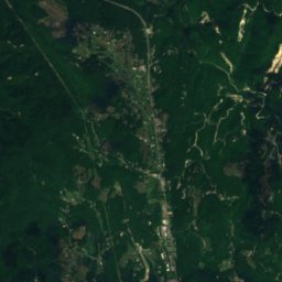
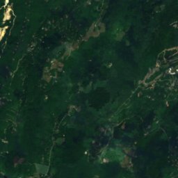
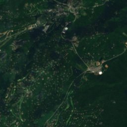
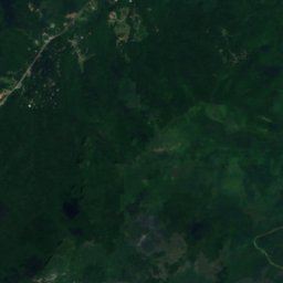
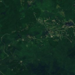
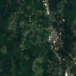
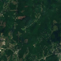
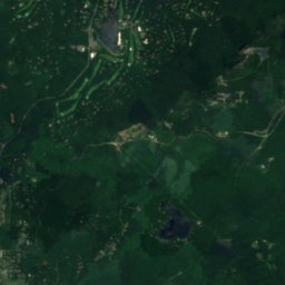
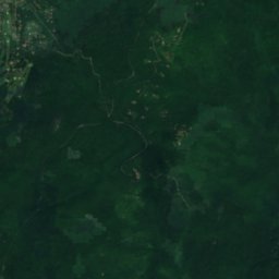
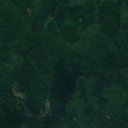
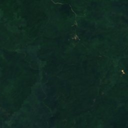
Satellite: Sentinel-2 cloudless 2016 by EOX IT Services GmbH · CC BY 4.0 · Contains modified Copernicus Sentinel data 2016
Grandmother Lake
Lake · 3,845 ft
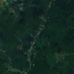
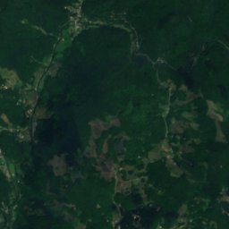
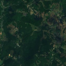
Satellite: Sentinel-2 cloudless 2016 by EOX IT Services GmbH · CC BY 4.0 · Contains modified Copernicus Sentinel data 2016
Lake Kawahna
Lake
Mountains
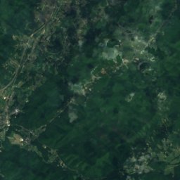
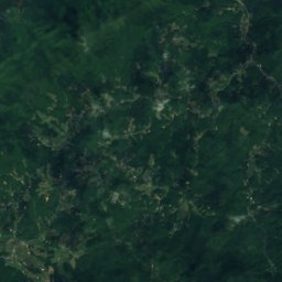
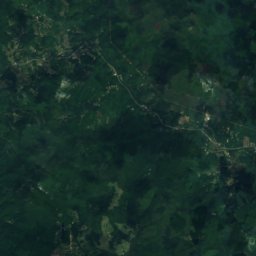
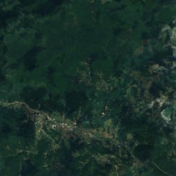
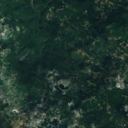
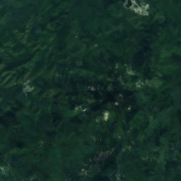
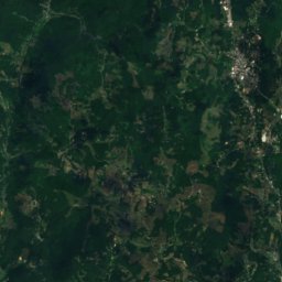
Satellite: Sentinel-2 cloudless 2016 by EOX IT Services GmbH · CC BY 4.0 · Contains modified Copernicus Sentinel data 2016
Roan Mountain
6,286 ft · Unaka Range
Photo: Original uploader was KyleAndMelissa22 at en.wikipedia · Public domain · Wikimedia CommonsReport this photo · linked, not stored
Grandfather Mountain
5,965 ft · Blue Ridge Mountains
Heritage

Avery County Jail
National Register of Historic Places listed place · 1913

Avery County Courthouse
National Register of Historic Places listed place

Museums

Linville Falls Visitor Center
National Park Service visitor center








Satellite: Sentinel-2 cloudless 2016 by EOX IT Services GmbH · CC BY 4.0 · Contains modified Copernicus Sentinel data 2016
Linn Cove Visitor Center
National Park Service visitor center