
Photo: © Frank Schulenburg · CC BY-SA 4.0 · Wikimedia Commons
Mount ShastaReport this photo · linked, not stored
Mount ShastaReport this photo · linked, not stored

Photo: KyleAndMelissa22 at English Wikipedia · Public domain · Wikimedia Commons
ShastinaReport this photo · linked, not stored
ShastinaShastinaReport this photo · linked, not stored

Photo: Stan Shebs · CC BY-SA 3.0 · Wikimedia Commons
Rainbow Mountain (California)Report this photo · linked, not stored
Rainbow Mountain (California)Rainbow Mountain (California)Report this photo · linked, not stored

Photo: KyleAndMelissa22 (talk) (Uploads) · Public domain · Wikimedia Commons
Black Butte (Siskiyou County, California)Report this photo · linked, not stored
Black Butte (Siskiyou County, California)Black Butte (Siskiyou County, California)Report this photo · linked, not stored
California Cascades · California · United StatesSummit weather, forecast and climate
Mount Shasta
Volcano14,180 ftUltra-prominent peakSnow likely Jan–Jun · Sep–Dec
Elevation14,180 ftabove sea level
Prominence9,767 ftindependent height
Isolation–to a higher summit
Summit, Jul52°average high
41.41° N, 122.19° WElevation 14,180 ftUTC−7 · Pacific Daylight Time
From the valley to the top
- Summit14,180 ft
- Mid-mountain8,891 ft
- Valley · Mount Shasta3,606 ft
Freezing level in October: 10,991 ft
iThe mountain
Mount Shasta in brief
Mount Shasta rises to 14,180 ft in the California Cascades, California, United States. Its topographic prominence — the height it stands above the lowest contour enclosing a higher summit — is 9,767 ft, which makes it an ultra-prominent peak.
At the summit, July is the mildest month with average highs of 52°, while nights stay below freezing all year. Daytime highs climb above zero from June to September.
The nearest town in the atlas is Mount Shasta, 9.2 mi to the SW at 3,606 ft.
Facts
- Elevation
- 14,180 ft
- Prominence
- 9,767 ft
- Range
- California Cascades
- Region
- California
- Country
- United States
- Coordinates
- 41.4092, -122.1949
- Nearest airport
- Redding Municipal Airport (RDD) · 62 mi
iiForecast
Weather at three heights
Temperatures are adjusted to each height; summits are usually colder and windier than the valley forecast suggests.
Loading the latest forecast…
Loading the latest forecast…
Loading the latest forecast…
iiiSummit climate
The top of Mount Shasta by month
Summit temperatures and precipitation
Climate normals for the summit area (~1 km grid), station-adjusted| Month | Jan | Feb | Mar | Apr | May | Jun | Jul | Aug | Sep | Oct | Nov | Dec |
|---|---|---|---|---|---|---|---|---|---|---|---|---|
| Average high | 9° | 11° | 15° | 21° | 32° | 42° | 52° | 51° | 44° | 32° | 16° | 8° |
| Average low | -4° | -4° | -2° | 1° | 8° | 15° | 23° | 22° | 17° | 10° | 0° | -5° |
| Precipitation | 15.0 in | 12.7 in | 11.4 in | 6.4 in | 4.3 in | 2.4 in | 0.9 in | 0.9 in | 1.5 in | 5.1 in | 12.3 in | 16.1 in |
| Cloud cover | 52% | 50% | 48% | 42% | 34% | 23% | 11% | 12% | 15% | 28% | 45% | 50% |
| Daylight | 9h 31 | 10h 38 | 11h 54 | 13h 19 | 14h 31 | 15h 09 | 14h 53 | 13h 51 | 12h 30 | 11h 08 | 9h 52 | 9h 12 |
| Month score | 16 | 17 | 18 | 20 | 26 | 41 | 57 | 55 | 48 | 25 | 19 | 17 |
Snow and freezing level
Average height of the 0 °C level from the summit normals (6.5 °C per km); snow months have a summit mean at or below +1 °C| Month | Jan | Feb | Mar | Apr | May | Jun | Jul | Aug | Sep | Oct | Nov | Dec |
|---|---|---|---|---|---|---|---|---|---|---|---|---|
| Freezing level | 5,906 ft | 6,234 ft | 6,890 ft | 8,366 ft | 10,827 ft | 13,287 ft | 15,748 ft | 15,584 ft | 13,780 ft | 10,991 ft | 7,382 ft | 5,577 ft |
| Summit | ❄ snow | ❄ snow | ❄ snow | ❄ snow | ❄ snow | ❄ snow | above 0 °C | above 0 °C | ❄ snow | ❄ snow | ❄ snow | ❄ snow |
ivTerrain
Mount Shasta in 3D
vNeighbours
Mountains of the United StatesPeaks nearby
| Mountain | Elevation | Prominence | Distance | July summit high |
|---|---|---|---|---|
| Shastina | 12,335 ft | 394 ft | 1.5 mi W | 57° |
| Rainbow Mountain (California) | 7,619 ft | 394 ft | 13 mi E | 75° |
| Black Butte (Siskiyou County, California) | 6,334 ft | 1,870 ft | 8.5 mi W | 81° |
| Mount Bradley (Siskiyou County, California) | 5,563 ft | – | 14 mi SW | 81° |
viBase towns
Where to stay nearby

Photo: Cullen328 photo by Jim Heaphy · CC BY-SA 3.0 · Wikimedia CommonsReport this photo · linked, not stored
Mount Shasta
California · 9.2 mi SW
66°Oct high
6wet days
86score
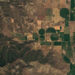
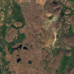
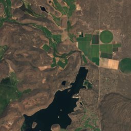
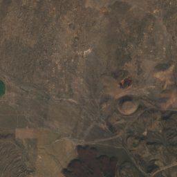
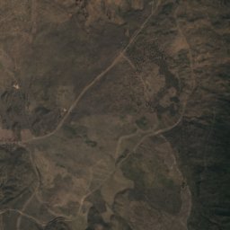
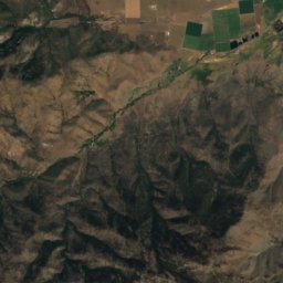
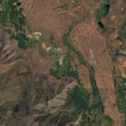
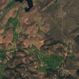
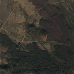
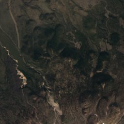
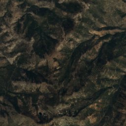
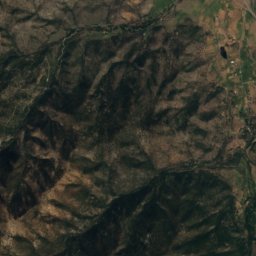
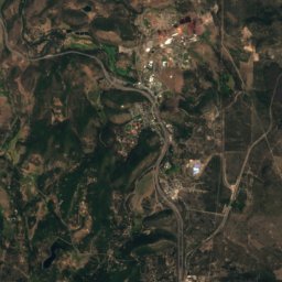
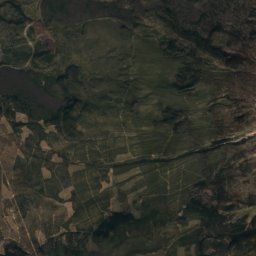
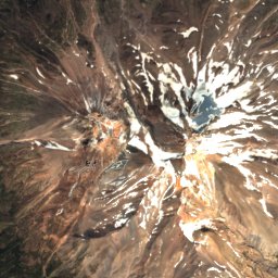
Satellite: Sentinel-2 cloudless 2016 by EOX IT Services GmbH · CC BY 4.0 · Contains modified Copernicus Sentinel data 2016
Weed
California · 10 mi W
66°Oct high
6wet days
86score

Photo: brewbooks from near Seattle, USA · CC BY-SA 2.0 · Wikimedia CommonsReport this photo · linked, not stored
McCloud
California · 11 mi S
69°Oct high
6wet days
86score

Around here
Mount Shasta and around
Photo: Cullen328 photo by Jim Heaphy · CC BY-SA 3.0 · Wikimedia CommonsReport this photo · linked, not stored
Mount Shasta
California · United States
Jun · Sep–Octbest months
87°July high
3,606 ftaltitude
Nature

Photo: Vlad Butsky from San Jose, CA, USA · CC BY 2.0 · Wikimedia CommonsReport this photo · linked, not stored
Castle Lake, California
Lake · 5,443 ft


Photo: Pinecar at English Wikipedia · Public domain · Wikimedia CommonsReport this photo · linked, not stored
Mossbrae Falls
Waterfall
Mountains
Photo: KyleAndMelissa22 at English Wikipedia · Public domain · Wikimedia CommonsReport this photo · linked, not stored
Shastina
12,335 ft · California Cascades


