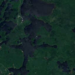
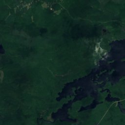
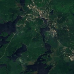
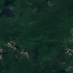
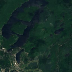
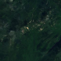
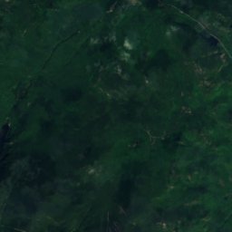
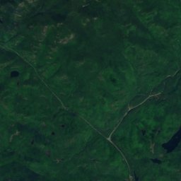
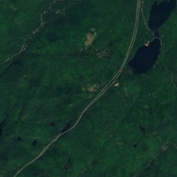
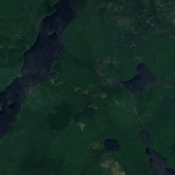
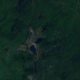
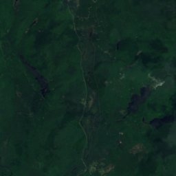
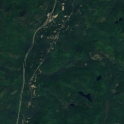
Satellite: Sentinel-2 cloudless 2016 by EOX IT Services GmbH · CC BY 4.0 · Contains modified Copernicus Sentinel data 2016

Photo: Daniel Tripp · Public domain · Wikimedia Commons
Mount MarcyReport this photo · linked, not stored
Mount MarcyMount MarcyReport this photo · linked, not stored

Photo: Sirmont (talk) (Uploads) · Public domain · Wikimedia Commons
Algonquin PeakReport this photo · linked, not stored
Algonquin PeakAlgonquin PeakReport this photo · linked, not stored

Photo: Mld74 at English Wikipedia · Public domain · Wikimedia Commons
Mount SkylightReport this photo · linked, not stored
Mount SkylightMount SkylightReport this photo · linked, not stored

Photo: Aepstein607 at the English Wikipedia · CC BY-SA 3.0 · Wikimedia Commons
Iroquois PeakReport this photo · linked, not stored
Iroquois PeakIroquois PeakReport this photo · linked, not stored
Adirondack Mountains · New York · United StatesSummit weather, forecast and climate
Mount Haystack
4,960 ftSnow likely Jan–Apr · Nov–Dec
Elevation4,960 ftabove sea level
Prominence840 ftindependent height
Isolation1.2 mito a higher summit
Summit, Jul65°average high
44.11° N, 73.90° WElevation 4,960 ftUTC−4 · Eastern Daylight Time
From the valley to the top
- Summit4,960 ft
- Mid-mountain3,478 ft
- Valley · North Elba1,965 ft
Freezing level in October: above the summit
iThe mountain
Mount Haystack in brief
Mount Haystack rises to 4,960 ft in the Adirondack Mountains, New York, United States. Its topographic prominence — the height it stands above the lowest contour enclosing a higher summit — is 840 ft.
At the summit, July is the mildest month with average highs of 65°, while nights fall below freezing in 7 months of the year. Daytime highs climb above zero from April to November.
The nearest town in the atlas is North Elba, 9.9 mi to the N at 1,965 ft.
Facts
- Elevation
- 4,960 ft
- Prominence
- 840 ft
- Range
- Adirondack Mountains
- Region
- New York
- Country
- United States
- Coordinates
- 44.1056, -73.9006
- Nearest airport
- Adirondack Regional Airport (SLK) · 25 mi
iiForecast
Weather at three heights
Temperatures are adjusted to each height; summits are usually colder and windier than the valley forecast suggests.
Loading the latest forecast…
Loading the latest forecast…
Loading the latest forecast…
iiiSummit climate
The top of Mount Haystack by month
Summit temperatures and precipitation
Climate normals for the summit area (~1 km grid), station-adjusted| Month | Jan | Feb | Mar | Apr | May | Jun | Jul | Aug | Sep | Oct | Nov | Dec |
|---|---|---|---|---|---|---|---|---|---|---|---|---|
| Average high | 20° | 22° | 29° | 42° | 54° | 62° | 65° | 64° | 58° | 46° | 35° | 25° |
| Average low | 3° | 5° | 12° | 24° | 35° | 45° | 50° | 49° | 42° | 32° | 22° | 10° |
| Precipitation | 4.0 in | 3.9 in | 4.5 in | 4.6 in | 5.4 in | 6.2 in | 6.1 in | 5.7 in | 5.6 in | 6.0 in | 5.3 in | 4.9 in |
| Cloud cover | 62% | 59% | 56% | 54% | 51% | 46% | 39% | 41% | 46% | 51% | 63% | 65% |
| Daylight | 9h 15 | 10h 29 | 11h 53 | 13h 27 | 14h 45 | 15h 29 | 15h 11 | 14h 02 | 12h 33 | 11h 03 | 9h 39 | 8h 54 |
| Month score | 17 | 18 | 16 | 16 | 27 | 53 | 63 | 61 | 40 | 16 | 11 | 10 |
Snow and freezing level
Average height of the 0 °C level from the summit normals (6.5 °C per km); snow months have a summit mean at or below +1 °C| Month | Jan | Feb | Mar | Apr | May | Jun | Jul | Aug | Sep | Oct | Nov | Dec |
|---|---|---|---|---|---|---|---|---|---|---|---|---|
| Freezing level | valley | valley | 1,804 ft | 5,085 ft | 8,530 ft | 10,991 ft | 12,139 ft | 11,811 ft | 10,007 ft | 6,890 ft | 4,101 ft | 984 ft |
| Summit | ❄ snow | ❄ snow | ❄ snow | ❄ snow | above 0 °C | above 0 °C | above 0 °C | above 0 °C | above 0 °C | above 0 °C | ❄ snow | ❄ snow |
ivTerrain
Mount Haystack in 3D
vNeighbours
Mountains of the United StatesPeaks nearby
| Mountain | Elevation | Prominence | Distance | July summit high |
|---|---|---|---|---|
| Mount Marcy | 5,344 ft | 4,914 ft | 1.2 mi NW | 63° |
| Algonquin Peak | 5,115 ft | 2,100 ft | 5.0 mi NW | 63° |
| Mount Skylight | 4,925 ft | 578 ft | 1.6 mi W | 65° |
| Iroquois Peak | 4,843 ft | 151 ft | 5.3 mi NW | 64° |
| Dix Mountain | 4,840 ft | 2,830 ft | 5.9 mi E | 65° |
| Basin Mountain (New York) | 4,826 ft | 725 ft | 1.3 mi NE | 65° |
| Gray Peak (New York) | 4,826 ft | 102 ft | 1.7 mi W | 64° |
| Gothics | 4,734 ft | 699 ft | 2.7 mi NE | 66° |
viBase towns
Where to stay nearby


Photo: Mwanner at en.wikipedia · CC BY-SA 3.0 · Wikimedia CommonsReport this photo · linked, not stored
Newcomb
New York · 16 mi SW
55°Oct high
14wet days
33score
Around here
North Elba and around
Nature

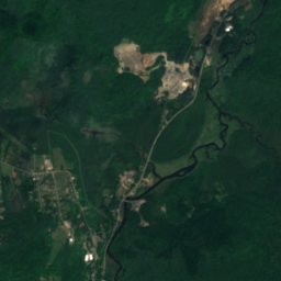
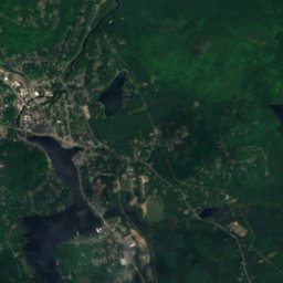
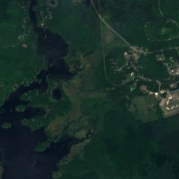
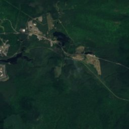
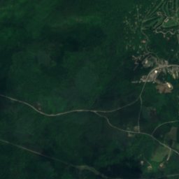
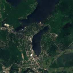
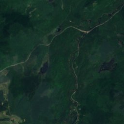
Satellite: Sentinel-2 cloudless 2016 by EOX IT Services GmbH · CC BY 4.0 · Contains modified Copernicus Sentinel data 2016
Lake Placid, New York
Lake · 1,857 ft
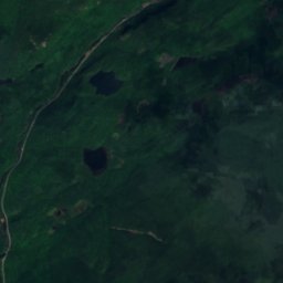
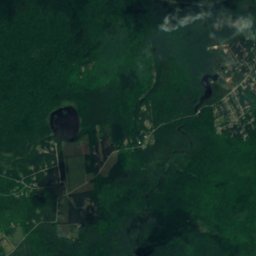
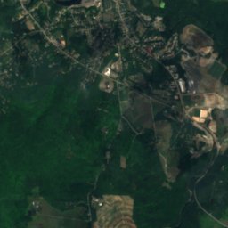
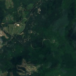
Satellite: Sentinel-2 cloudless 2016 by EOX IT Services GmbH · CC BY 4.0 · Contains modified Copernicus Sentinel data 2016
Holcomb Pond, New York
Lake · 1,677 ft
Mountains
Photo: Sirmont (talk) (Uploads) · Public domain · Wikimedia CommonsReport this photo · linked, not stored
Algonquin Peak
5,115 ft · MacIntyre Mountains
Photo: Mld74 at English Wikipedia · Public domain · Wikimedia CommonsReport this photo · linked, not stored
Mount Skylight
4,925 ft · Adirondack Mountains
Heritage

Photo: Mwanner at English Wikipedia · CC BY-SA 3.0 · Wikimedia CommonsReport this photo · linked, not stored
John Brown Farm State Historic Site
National Historic Landmark






Satellite: Sentinel-2 cloudless 2016 by EOX IT Services GmbH · CC BY 4.0 · Contains modified Copernicus Sentinel data 2016
Mt. Van Hoevenberg Olympic Bobsled Run
National Register of Historic Places listed place · 1930

Will Rogers Memorial Hospital
National Register of Historic Places listed place


