
Photo: Matt Vincent at the English-language Wikipedia · CC BY-SA 3.0 · Wikimedia Commons
Mount BrossReport this photo · linked, not stored
Mount BrossReport this photo · linked, not stored

Photo: Original uploader was Matt Vincent at en.wikipedia · CC BY-SA 3.0 · Wikimedia Commons
Mount Lincoln (Colorado)Report this photo · linked, not stored
Mount Lincoln (Colorado)Mount Lincoln (Colorado)Report this photo · linked, not stored

Photo: Stargazer7121 · Public domain · Wikimedia Commons
Quandary PeakReport this photo · linked, not stored
Quandary PeakQuandary PeakReport this photo · linked, not stored

Photo: Jeremiah LaRocco · CC BY-SA 2.0 · Wikimedia Commons
Mount DemocratReport this photo · linked, not stored
Mount DemocratMount DemocratReport this photo · linked, not stored

Photo: Jeremiah LaRocco · CC BY-SA 2.0 · Wikimedia Commons
Fletcher MountainReport this photo · linked, not stored
Fletcher MountainFletcher MountainReport this photo · linked, not stored
Mosquito Range · Colorado · United StatesSummit weather, forecast and climate
Mount Bross
14,178 ftSnow likely Jan–May · Oct–Dec
Elevation14,178 ftabove sea level
Prominence312 ftindependent height
Isolation1.1 mito a higher summit
Summit, Jul58°average high
39.34° N, 106.11° WElevation 14,178 ftUTC−6 · Mountain Daylight Time
From the valley to the top
- Summit14,178 ft
- Mid-mountain12,205 ft
- Valley · Alma Junction10,256 ft
Freezing level in October: 11,483 ft
iThe mountain
Mount Bross in brief
Mount Bross rises to 14,178 ft in the Mosquito Range, Colorado, United States. Its topographic prominence — the height it stands above the lowest contour enclosing a higher summit — is 312 ft.
At the summit, July is the mildest month with average highs of 58°, while nights stay below freezing all year. Daytime highs climb above zero from May to October.
The nearest town in the atlas is Alma Junction, 5.7 mi to the SE at 10,256 ft.
Facts
- Elevation
- 14,178 ft
- Prominence
- 312 ft
- Range
- Mosquito Range
- Region
- Colorado
- Country
- United States
- Coordinates
- 39.3353, -106.1070
- Nearest airport
- Aspen-Pitkin County Airport (Sardy Field) (ASE) · 42 mi
iiForecast
Weather at three heights
Temperatures are adjusted to each height; summits are usually colder and windier than the valley forecast suggests.
Loading the latest forecast…
Loading the latest forecast…
Loading the latest forecast…
iiiSummit climate
The top of Mount Bross by month
Summit temperatures and precipitation
Climate normals for the summit area (~1 km grid), station-adjusted| Month | Jan | Feb | Mar | Apr | May | Jun | Jul | Aug | Sep | Oct | Nov | Dec |
|---|---|---|---|---|---|---|---|---|---|---|---|---|
| Average high | 14° | 16° | 21° | 28° | 38° | 51° | 58° | 56° | 47° | 34° | 21° | 13° |
| Average low | -10° | -8° | -2° | 5° | 14° | 24° | 31° | 30° | 22° | 11° | -4° | -11° |
| Precipitation | 2.4 in | 2.7 in | 3.7 in | 4.3 in | 3.9 in | 3.0 in | 5.9 in | 6.2 in | 3.7 in | 3.0 in | 2.8 in | 2.7 in |
| Cloud cover | 39% | 44% | 43% | 41% | 35% | 27% | 29% | 31% | 25% | 29% | 36% | 39% |
| Daylight | 9h 42 | 10h 44 | 11h 55 | 13h 14 | 14h 20 | 14h 56 | 14h 41 | 13h 43 | 12h 28 | 11h 12 | 10h 02 | 9h 25 |
| Month score | 37 | 33 | 27 | 24 | 29 | 39 | 50 | 41 | 32 | 37 | 36 | 35 |
Snow and freezing level
Average height of the 0 °C level from the summit normals (6.5 °C per km); snow months have a summit mean at or below +1 °C| Month | Jan | Feb | Mar | Apr | May | Jun | Jul | Aug | Sep | Oct | Nov | Dec |
|---|---|---|---|---|---|---|---|---|---|---|---|---|
| Freezing level | 5,741 ft | 6,234 ft | 7,874 ft | 9,843 ft | 12,467 ft | 15,584 ft | 17,717 ft | 17,224 ft | 15,092 ft | 11,483 ft | 7,546 ft | 5,577 ft |
| Summit | ❄ snow | ❄ snow | ❄ snow | ❄ snow | ❄ snow | above 0 °C | above 0 °C | above 0 °C | above 0 °C | ❄ snow | ❄ snow | ❄ snow |
ivTerrain
Mount Bross in 3D
vNeighbours
Mountains of the United StatesPeaks nearby
| Mountain | Elevation | Prominence | Distance | July summit high |
|---|---|---|---|---|
| Mount Lincoln (Colorado) | 14,285 ft | 3,806 ft | 1.1 mi N | 58° |
| Quandary Peak | 14,272 ft | 1,125 ft | 4.3 mi N | 58° |
| Mount Democrat | 14,155 ft | 768 ft | 1.8 mi W | 59° |
| Mount Sherman | 14,043 ft | 919 ft | 8.3 mi SW | 59° |
| Fletcher Mountain | 13,958 ft | 611 ft | 4.8 mi N | 59° |
| Pacific Peak | 13,957 ft | – | 6.1 mi N | 58° |
| Horseshoe Mountain (Colorado) | 13,905 ft | 758 ft | 11 mi S | 60° |
| Mount Buckskin | 13,872 ft | 679 ft | 2.4 mi SW | 59° |
viBase towns
Where to stay nearby

Photo: Adam Baker from Houston / Moscow / Toulouse (travel a lot) · CC BY 2.0 · Wikimedia CommonsReport this photo · linked, not stored
Blue River
Colorado · 7.3 mi NE
49°Oct high
9wet days
37score


Around here
Alma Junction and around

Alma Junction
Colorado · United States
Jun–Jul · Sepbest months
71°July high
10,256 ftaltitude
Nature

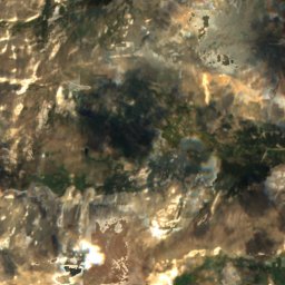
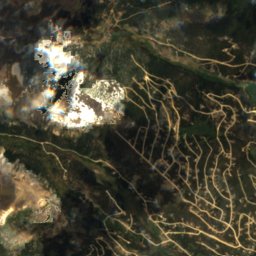
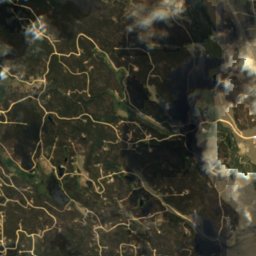
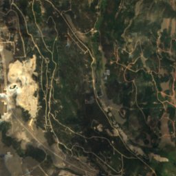
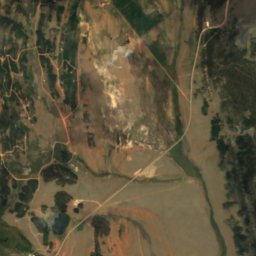
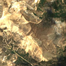
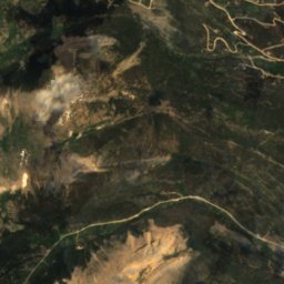
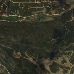
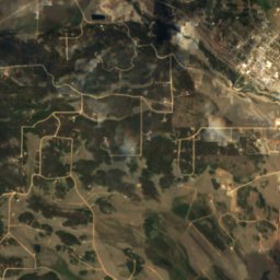
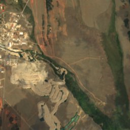
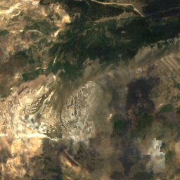
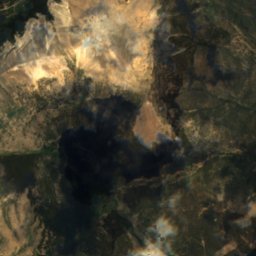
Satellite: Sentinel-2 cloudless 2016 by EOX IT Services GmbH · CC BY 4.0 · Contains modified Copernicus Sentinel data 2016
Thompson Park
Lake

Mountains
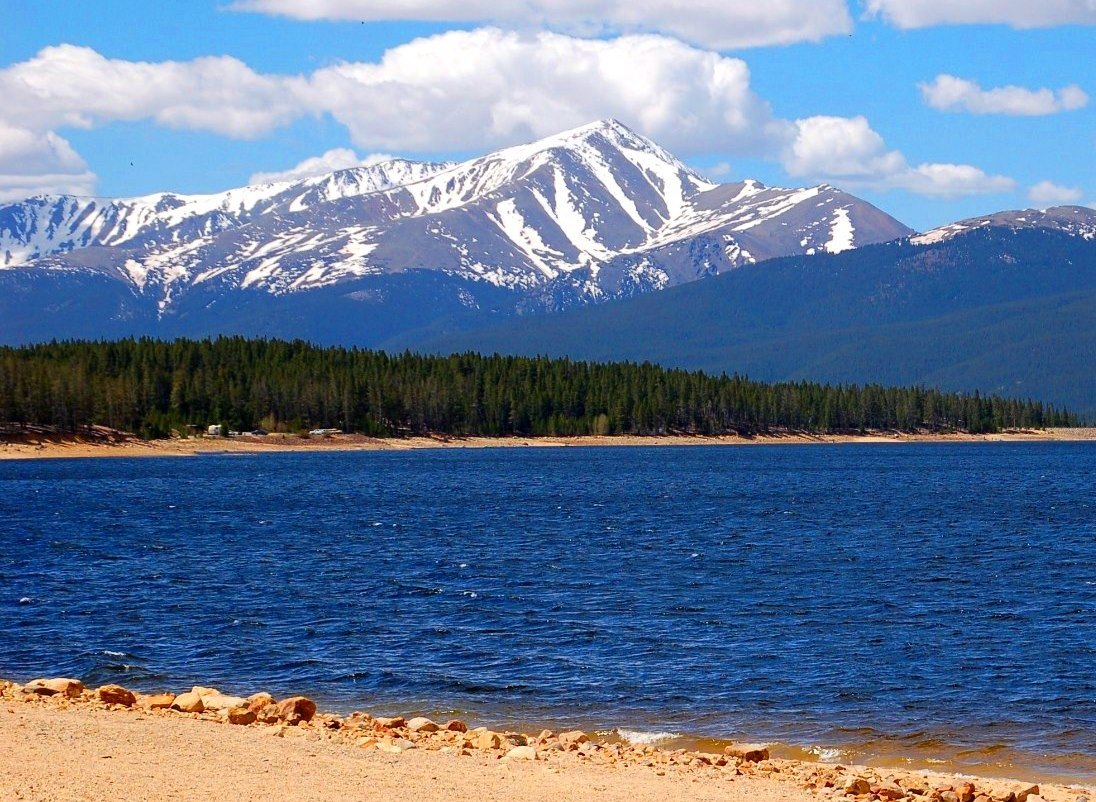
Photo: Hogs555 (talk · contribs) · CC BY-SA 4.0 · Wikimedia CommonsReport this photo · linked, not stored
Mount Elbert
14,439 ft · Sawatch Range

Photo: Gaep13 at en.wikipedia) · Public domain · Wikimedia CommonsReport this photo · linked, not stored
Mount Massive
14,421 ft · Sawatch Range
Photo: Original uploader was Matt Vincent at en.wikipedia · CC BY-SA 3.0 · Wikimedia CommonsReport this photo · linked, not stored
Mount Lincoln (Colorado)
14,285 ft · Mosquito Range
Heritage


Park County Courthouse and Jail
National Register of Historic Places listed place
Museums



Satellite: Sentinel-2 cloudless 2016 by EOX IT Services GmbH · CC BY 4.0 · Contains modified Copernicus Sentinel data 2016