
Photo: User:Washedwithblood7 · Public domain · Wikimedia Commons
Max PatchReport this photo · linked, not stored
Max PatchReport this photo · linked, not stored
Bald Mountains · North Carolina · United StatesSummit weather, forecast and climate
Max Patch
4,629 ftSnow likely Jan
Elevation4,629 ftabove sea level
Prominence787 ftindependent height
Isolation18 mito a higher summit
Summit, Jul75°average high
35.80° N, 82.96° WElevation 4,629 ftUTC−4 · Eastern Daylight Time
From the valley to the top
- Summit4,629 ft
- Mid-mountain2,986 ft
- Valley · Hot Springs1,332 ft
Freezing level in October: above the summit
iThe mountain
Max Patch in brief
Max Patch rises to 4,629 ft in the Bald Mountains, North Carolina, United States. Its topographic prominence — the height it stands above the lowest contour enclosing a higher summit — is 787 ft.
At the summit, July is the mildest month with average highs of 75°, while nights fall below freezing in 5 months of the year.
The nearest town is Hot Springs, 9.6 mi to the NE at 1,332 ft.
Facts
- Elevation
- 4,629 ft
- Prominence
- 787 ft
- Range
- Bald Mountains
- Region
- North Carolina
- Country
- United States
- Coordinates
- 35.7970, -82.9568
- Nearest airport
- Asheville Regional Airport (AVL) · 34 mi
iiForecast
Weather at three heights
Temperatures are adjusted to each height; summits are usually colder and windier than the valley forecast suggests.
Loading the latest forecast…
Loading the latest forecast…
Loading the latest forecast…
iiiSummit climate
The top of Max Patch by month
Summit temperatures and precipitation
Climate normals for the summit area (~1 km grid), station-adjusted| Month | Jan | Feb | Mar | Apr | May | Jun | Jul | Aug | Sep | Oct | Nov | Dec |
|---|---|---|---|---|---|---|---|---|---|---|---|---|
| Average high | 41° | 44° | 51° | 61° | 67° | 72° | 75° | 74° | 70° | 61° | 52° | 45° |
| Average low | 22° | 25° | 30° | 38° | 46° | 54° | 57° | 56° | 51° | 40° | 31° | 26° |
| Precipitation | 5.2 in | 5.6 in | 5.7 in | 5.7 in | 6.3 in | 6.9 in | 7.3 in | 5.9 in | 4.8 in | 3.3 in | 4.6 in | 5.2 in |
| Cloud cover | 53% | 54% | 49% | 43% | 43% | 38% | 38% | 35% | 37% | 37% | 45% | 51% |
| Daylight | 10h 00 | 10h 54 | 11h 56 | 13h 06 | 14h 03 | 14h 34 | 14h 21 | 13h 32 | 12h 26 | 11h 19 | 10h 17 | 9h 45 |
| Month score | 15 | 15 | 21 | 51 | 62 | 64 | 64 | 65 | 64 | 65 | 26 | 16 |
Snow and freezing level
Average height of the 0 °C level from the summit normals (6.5 °C per km); snow months have a summit mean at or below +1 °C| Month | Jan | Feb | Mar | Apr | May | Jun | Jul | Aug | Sep | Oct | Nov | Dec |
|---|---|---|---|---|---|---|---|---|---|---|---|---|
| Freezing level | 4,593 ft | 5,413 ft | 7,054 ft | 9,514 ft | 11,647 ft | 13,287 ft | 14,272 ft | 13,944 ft | 12,631 ft | 10,007 ft | 7,382 ft | 5,577 ft |
| Summit | ❄ snow | above 0 °C | above 0 °C | above 0 °C | above 0 °C | above 0 °C | above 0 °C | above 0 °C | above 0 °C | above 0 °C | above 0 °C | above 0 °C |
ivTerrain
Max Patch in 3D
vNeighbours
Mountains of the United StatesPeaks nearby
| Mountain | Elevation | Prominence | Distance | July summit high |
|---|---|---|---|---|
| Spring Creek Mountain | 4,032 ft | – | 7.3 mi E | 78° |
viBase towns
Where to stay nearby

Photo: Hot Springs Tourism & Welcome Center · CC BY-SA 4.0 · Wikimedia CommonsReport this photo · linked, not stored
Hot Springs
North Carolina · 9.6 mi NE
72°Oct high
10wet days
77score


Around here
Hot Springs and around
Photo: Hot Springs Tourism & Welcome Center · CC BY-SA 4.0 · Wikimedia CommonsReport this photo · linked, not stored
Hot Springs
North Carolina · United States
Apr · Oct–Novbest months
87°July high
1,332 ftaltitude
Nature
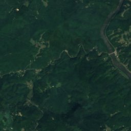
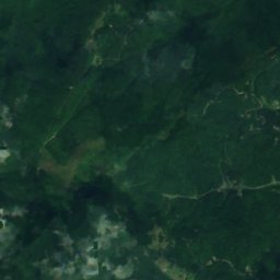
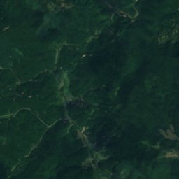
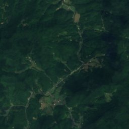
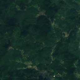
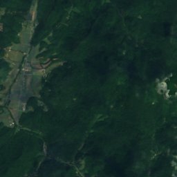
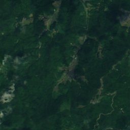
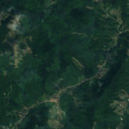
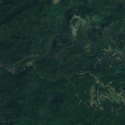
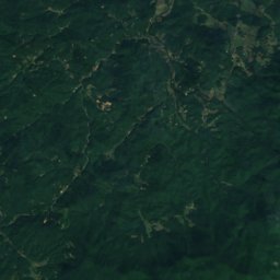
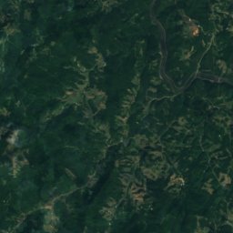
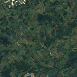
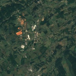
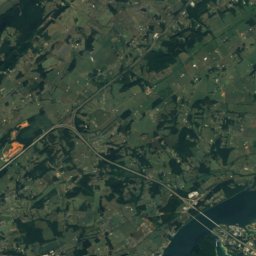
Satellite: Sentinel-2 cloudless 2016 by EOX IT Services GmbH · CC BY 4.0 · Contains modified Copernicus Sentinel data 2016
Spring Creek, North Carolina
River
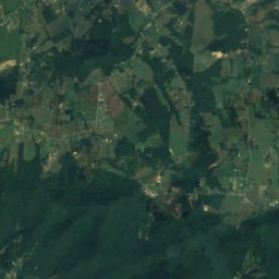
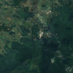
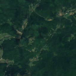
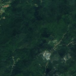
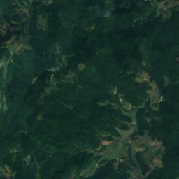
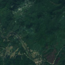
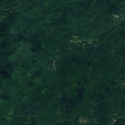
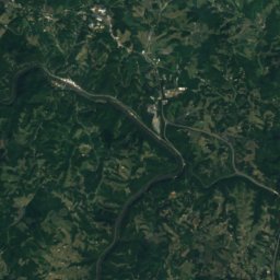
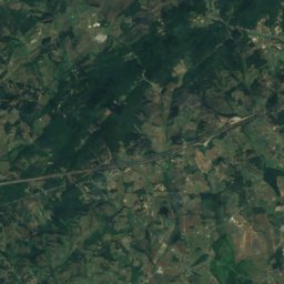
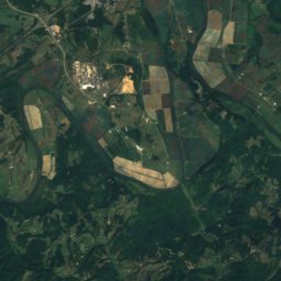
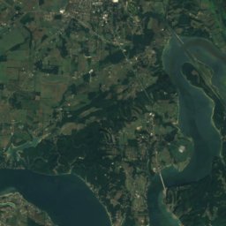
Satellite: Sentinel-2 cloudless 2016 by EOX IT Services GmbH · CC BY 4.0 · Contains modified Copernicus Sentinel data 2016
Waterfall on West Prong Hickey Fork
Waterfall
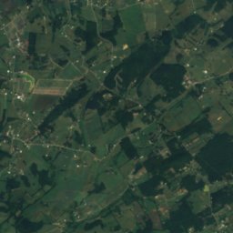
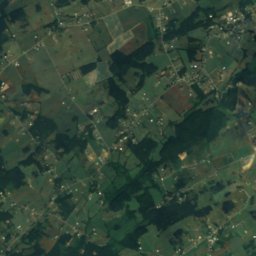
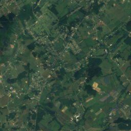
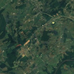
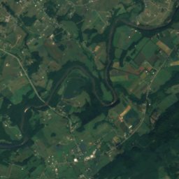
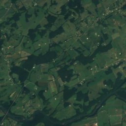
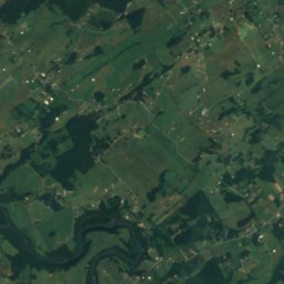
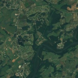
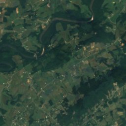
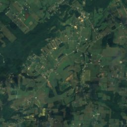
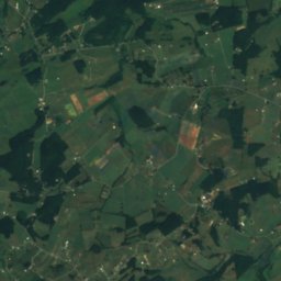
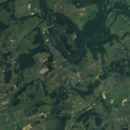
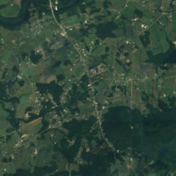
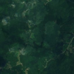
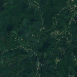
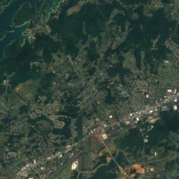
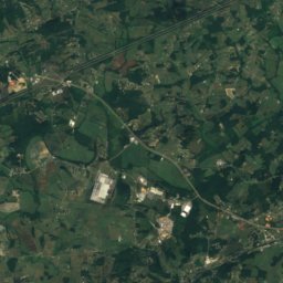
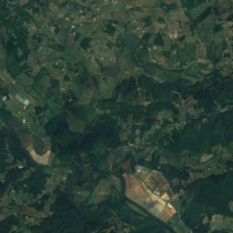
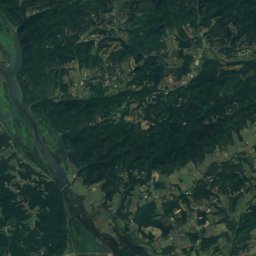
Satellite: Sentinel-2 cloudless 2016 by EOX IT Services GmbH · CC BY 4.0 · Contains modified Copernicus Sentinel data 2016
Davy Crockett Lake (Greene County, Tennessee)
Lake
Mountains
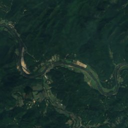
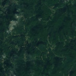
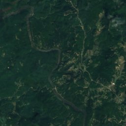
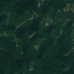
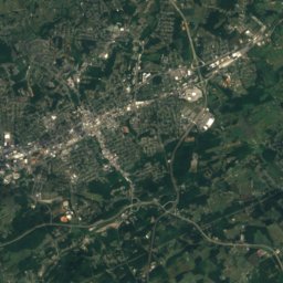
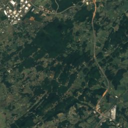
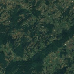
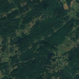
Satellite: Sentinel-2 cloudless 2016 by EOX IT Services GmbH · CC BY 4.0 · Contains modified Copernicus Sentinel data 2016
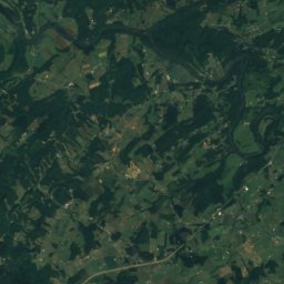
Spring Creek Mountain
4,032 ft
Heritage

Photo: Warren LeMay from Cincinnati, OH, United States · CC0 · Wikimedia CommonsReport this photo · linked, not stored
Dorland Memorial Presbyterian Church
National Register of Historic Places listed place · 1900

Photo: Warren LeMay from Cincinnati, OH, United States · CC0 · Wikimedia CommonsReport this photo · linked, not stored
Sunnybank
National Register of Historic Places listed place · 1875



Satellite: Sentinel-2 cloudless 2016 by EOX IT Services GmbH · CC BY 4.0 · Contains modified Copernicus Sentinel data 2016
Henry Ottinger House
National Register of Historic Places listed place