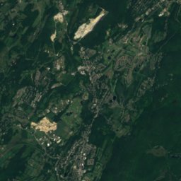
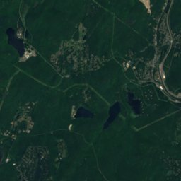
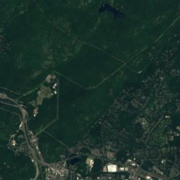
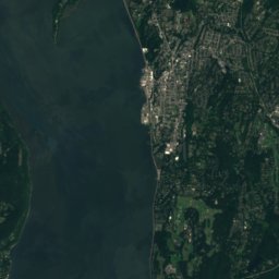
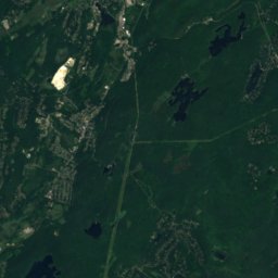
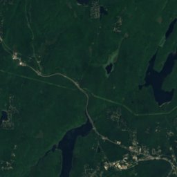
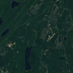
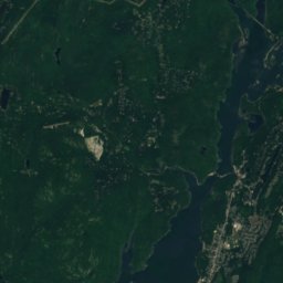
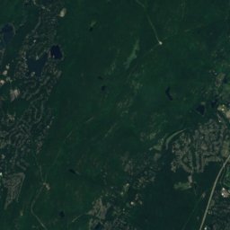
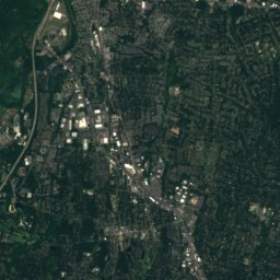
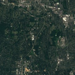
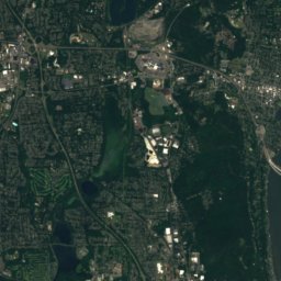
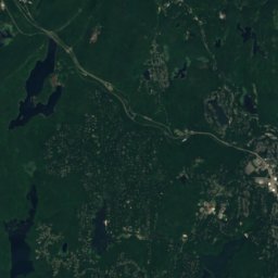
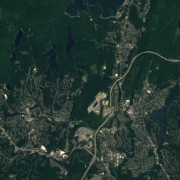
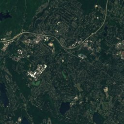
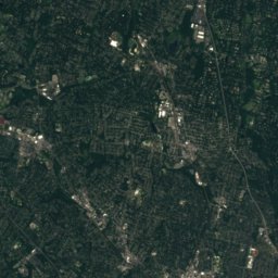
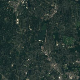
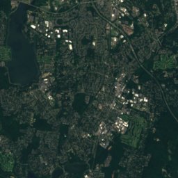
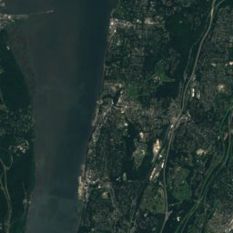
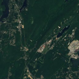
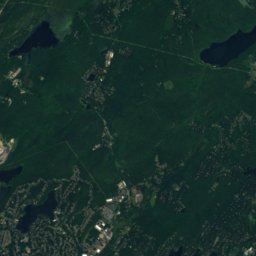
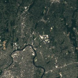
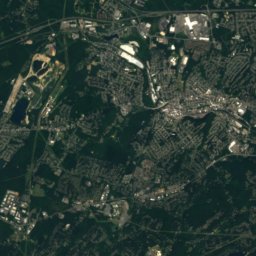
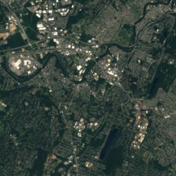
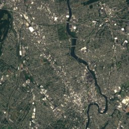
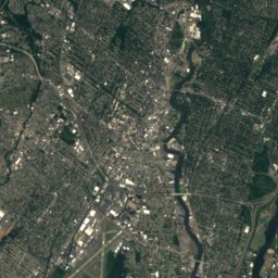
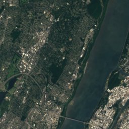
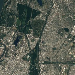
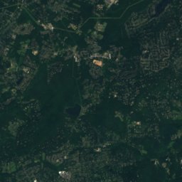
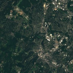
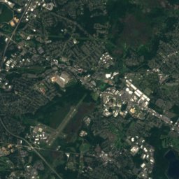
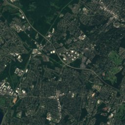
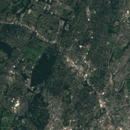
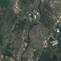
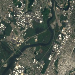
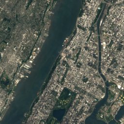
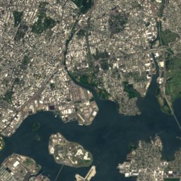
Satellite: Sentinel-2 cloudless 2016 by EOX IT Services GmbH · CC BY 4.0 · Contains modified Copernicus Sentinel data 2016
New Jersey · United StatesSummit weather, forecast and climate
Goffle Hill
602 ftSnow likely Jan–Feb
Elevation602 ftabove sea level
Prominence–independent height
Isolation5.7 mito a higher summit
Summit, Jul85°average high
40.98° N, 74.17° WElevation 602 ftUTC−4 · Eastern Daylight Time
From the valley to the top
- Summit602 ft
- Mid-mountain295 ft
- Valley0 ft
Freezing level in October: above the summit
iThe mountain
Goffle Hill in brief
Goffle Hill rises to 602 ft, New Jersey, United States.
At the summit, July is the mildest month with average highs of 85°, while nights fall below freezing in 4 months of the year.
The nearest town in the atlas is North Haledon, 1.7 mi to the SW at 243 ft.
Facts
- Elevation
- 602 ft
- Region
- New Jersey
- Country
- United States
- Coordinates
- 40.9761, -74.1689
- Nearest airport
- Teterboro Airport (TEB) · 10 mi
iiForecast
Weather at three heights
Temperatures are adjusted to each height; summits are usually colder and windier than the valley forecast suggests.
Loading the latest forecast…
Loading the latest forecast…
Loading the latest forecast…
iiiSummit climate
The top of Goffle Hill by month
Summit temperatures and precipitation
Climate normals for the summit area (~1 km grid), station-adjusted| Month | Jan | Feb | Mar | Apr | May | Jun | Jul | Aug | Sep | Oct | Nov | Dec |
|---|---|---|---|---|---|---|---|---|---|---|---|---|
| Average high | 38° | 41° | 49° | 61° | 71° | 80° | 85° | 83° | 76° | 64° | 53° | 43° |
| Average low | 22° | 23° | 30° | 39° | 49° | 59° | 64° | 63° | 55° | 44° | 35° | 27° |
| Precipitation | 3.7 in | 3.5 in | 4.6 in | 4.8 in | 4.8 in | 4.8 in | 5.3 in | 5.0 in | 4.9 in | 5.0 in | 4.6 in | 4.6 in |
| Cloud cover | 40% | 40% | 41% | 41% | 40% | 36% | 31% | 33% | 34% | 34% | 39% | 41% |
| Daylight | 9h 33 | 10h 39 | 11h 54 | 13h 18 | 14h 28 | 15h 06 | 14h 50 | 13h 50 | 12h 30 | 11h 09 | 9h 55 | 9h 15 |
| Month score | 28 | 29 | 21 | 52 | 63 | 58 | 49 | 52 | 65 | 65 | 30 | 22 |
Snow and freezing level
Average height of the 0 °C level from the summit normals (6.5 °C per km); snow months have a summit mean at or below +1 °C| Month | Jan | Feb | Mar | Apr | May | Jun | Jul | Aug | Sep | Oct | Nov | Dec |
|---|---|---|---|---|---|---|---|---|---|---|---|---|
| Freezing level | -0 ft | 492 ft | 2,625 ft | 5,741 ft | 8,530 ft | 10,991 ft | 12,467 ft | 11,975 ft | 10,007 ft | 6,726 ft | 3,937 ft | 1,476 ft |
| Summit | ❄ snow | ❄ snow | above 0 °C | above 0 °C | above 0 °C | above 0 °C | above 0 °C | above 0 °C | above 0 °C | above 0 °C | above 0 °C | above 0 °C |
ivTerrain
Goffle Hill in 3D
vNeighbours
Mountains of the United StatesPeaks nearby
| Mountain | Elevation | Prominence | Distance | July summit high |
|---|---|---|---|---|
| Bald Mountain (New Jersey) | 1,152 ft | – | 10 mi N | 83° |
| High Mountain | 1,106 ft | – | 8.5 mi NW | 83° |
| Herman Hill | 1,076 ft | – | 9.7 mi N | 82° |
| Drag Hill | 1,060 ft | – | 8.7 mi N | 83° |
| Rocky Mountain | 1,056 ft | – | 8.3 mi N | 83° |
| Mount Defiance (New Jersey) | 1,040 ft | – | 11 mi N | 83° |
| Houvenkopf Mountain | 931 ft | – | 9.0 mi N | 84° |
| Millstone Hill | 912 ft | – | 6.9 mi NW | 83° |
viBase towns
Where to stay nearby

Photo: Mr. Matté (if there is an issue with this image, contact me using this image's C · CC BY-SA 4.0 · Wikimedia CommonsReport this photo · linked, not stored
North Haledon
New Jersey · 1.7 mi SW
65°Oct high
10wet days
75score

Photo: JERRYE & ROY KLOTZ MD · CC BY-SA 4.0 · Wikimedia CommonsReport this photo · linked, not stored
Midland Park
New Jersey · 1.7 mi NE
65°Oct high
10wet days
76score


Around here
North Haledon and around
Photo: Mr. Matté (if there is an issue with this image, contact me using this image's C · CC BY-SA 4.0 · Wikimedia CommonsReport this photo · linked, not stored
North Haledon
New Jersey · United States
May · Sep–Octbest months
85°July high
243 ftaltitude
Nature


Mountains
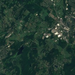
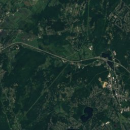
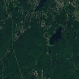
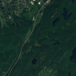
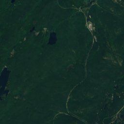
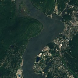
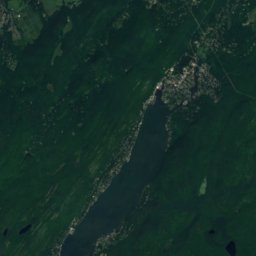
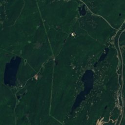
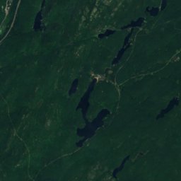
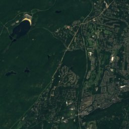
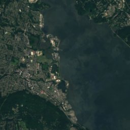
Satellite: Sentinel-2 cloudless 2016 by EOX IT Services GmbH · CC BY 4.0 · Contains modified Copernicus Sentinel data 2016
Fingerboard Mountain
2,966 ft
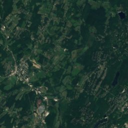
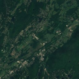
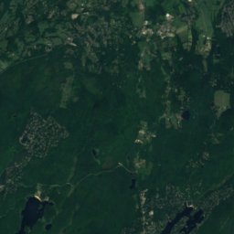
Satellite: Sentinel-2 cloudless 2016 by EOX IT Services GmbH · CC BY 4.0 · Contains modified Copernicus Sentinel data 2016
Bearfort Mountain
1,479 ft

Photo: The original uploader was Kborland at Wikipedia. · CC BY-SA 3.0 · Wikimedia CommonsReport this photo · linked, not stored
Wawayanda Mountain
1,470 ft · Appalachian Mountains
Heritage

Satellite: Sentinel-2 cloudless 2016 by EOX IT Services GmbH · CC BY 4.0 · Contains modified Copernicus Sentinel data 2016
Goffle Brook Park
National Register of Historic Places listed place · 1932
Museums




Satellite: Sentinel-2 cloudless 2016 by EOX IT Services GmbH · CC BY 4.0 · Contains modified Copernicus Sentinel data 2016
Paterson Museum
Local museum · 1925