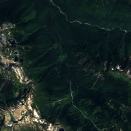
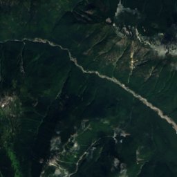
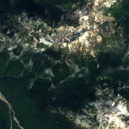
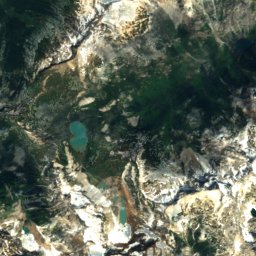
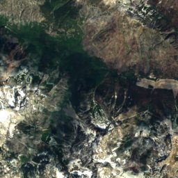
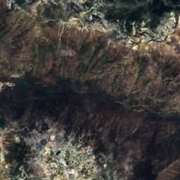
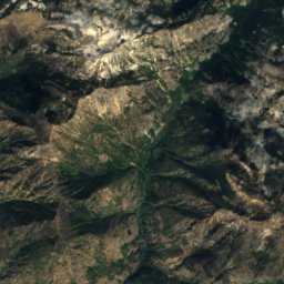
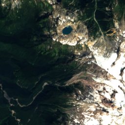
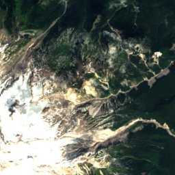
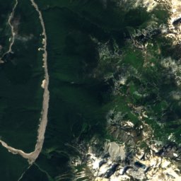
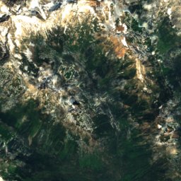
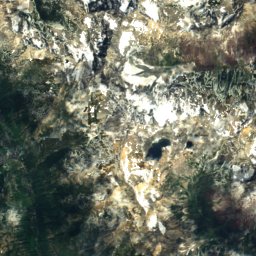
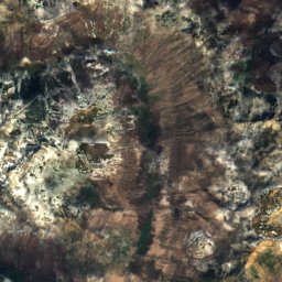
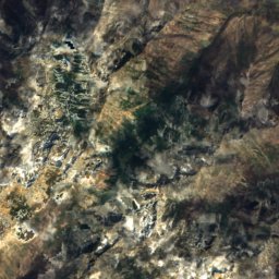
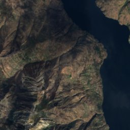
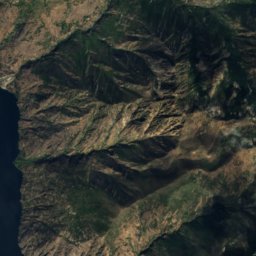
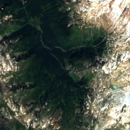
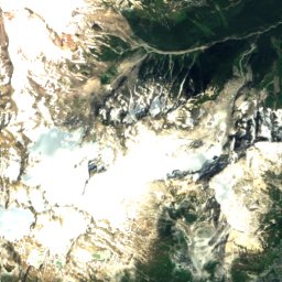
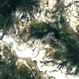
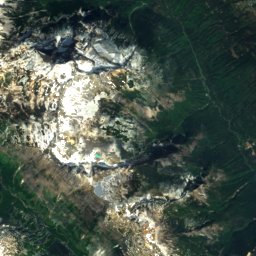
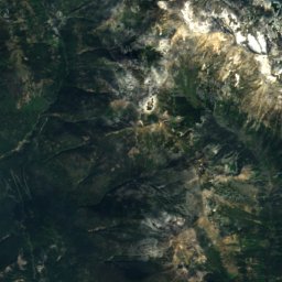
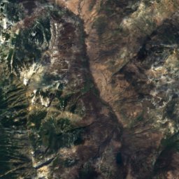
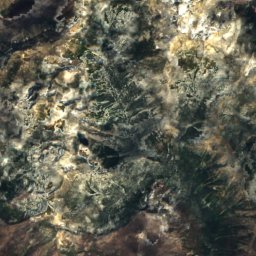
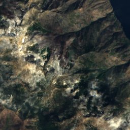
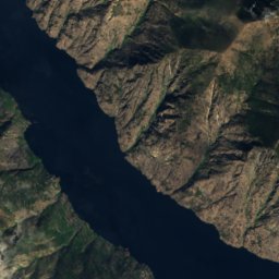
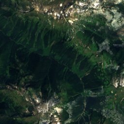
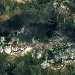
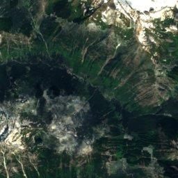
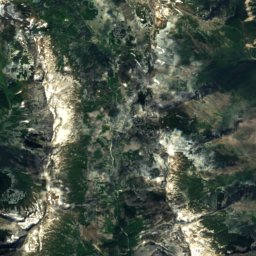
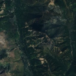
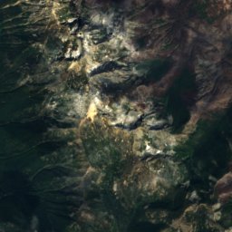
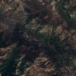
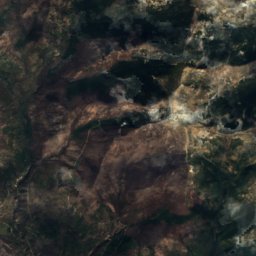
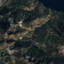
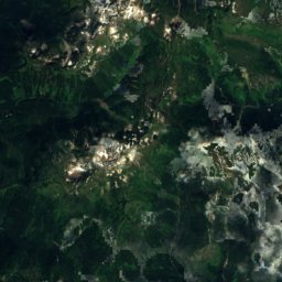
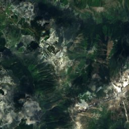
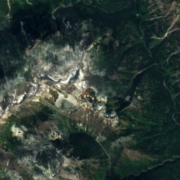
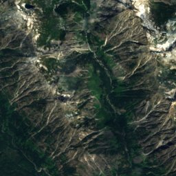
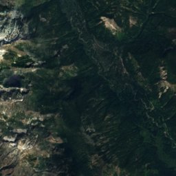
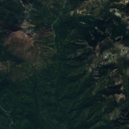
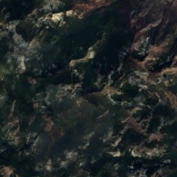
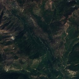
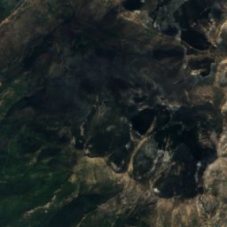
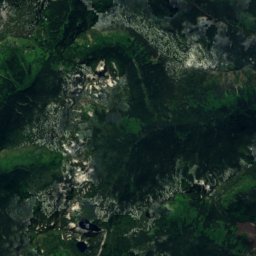
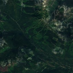
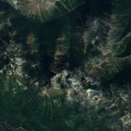
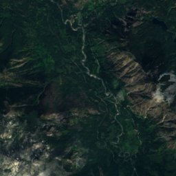
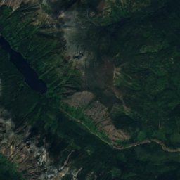
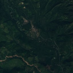
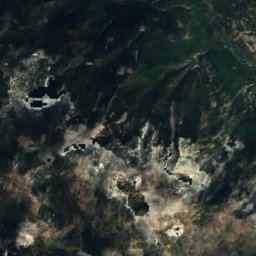
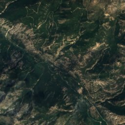
Satellite: Sentinel-2 cloudless 2016 by EOX IT Services GmbH · CC BY 4.0 · Contains modified Copernicus Sentinel data 2016

Photo: Ron Clausen · CC BY-SA 4.0 · Wikimedia Commons
Mount FernowReport this photo · linked, not stored
Mount FernowMount FernowReport this photo · linked, not stored

Photo: Walter Siegmund (talk) · CC BY-SA 3.0 · Wikimedia Commons
Seven Fingered JackReport this photo · linked, not stored
Seven Fingered JackSeven Fingered JackReport this photo · linked, not stored

Photo: Mark Iverson · CC BY-SA 2.0 · Wikimedia Commons
Mount MaudeReport this photo · linked, not stored
Mount MaudeMount MaudeReport this photo · linked, not stored

Photo: Martin Bravenboer · CC BY 2.0 · Wikimedia Commons
Fortress Mountain (Washington)Report this photo · linked, not stored
Fortress Mountain (Washington)Fortress Mountain (Washington)Report this photo · linked, not stored
Entiat Mountains · Washington · United StatesSummit weather, forecast and climate
Devils Smoke Stack
7,600 ftSnow likely Jan–May · Oct–Dec
Elevation7,600 ftabove sea level
Prominence–independent height
Isolation0.6 mito a higher summit
Summit, Jul62°average high
48.03° N, 120.72° WElevation 7,600 ftUTC−7 · Pacific Daylight Time
From the valley to the top
- Summit7,600 ft
- Mid-mountain4,364 ft
- Valley · Stehekin1,148 ft
Freezing level in October: 7,546 ft
iThe mountain
Devils Smoke Stack in brief
Devils Smoke Stack rises to 7,600 ft in the Entiat Mountains, Washington, United States.
At the summit, August is the mildest month with average highs of 62°, while nights fall below freezing in 9 months of the year. Daytime highs climb above zero from April to October.
The nearest town is Stehekin, 19 mi to the N at 1,148 ft.
Facts
- Elevation
- 7,600 ft
- Range
- Entiat Mountains
- Region
- Washington
- Country
- United States
- Coordinates
- 48.0306, -120.7197
- Nearest airport
- Pangborn Memorial Airport (EAT) · 50 mi
iiForecast
Weather at three heights
Temperatures are adjusted to each height; summits are usually colder and windier than the valley forecast suggests.
Loading the latest forecast…
Loading the latest forecast…
Loading the latest forecast…
iiiSummit climate
The top of Devils Smoke Stack by month
Summit temperatures and precipitation
Climate normals for the summit area (~1 km grid), station-adjusted| Month | Jan | Feb | Mar | Apr | May | Jun | Jul | Aug | Sep | Oct | Nov | Dec |
|---|---|---|---|---|---|---|---|---|---|---|---|---|
| Average high | 21° | 24° | 29° | 34° | 43° | 53° | 62° | 62° | 54° | 40° | 25° | 19° |
| Average low | 11° | 11° | 15° | 18° | 24° | 31° | 37° | 38° | 32° | 23° | 14° | 9° |
| Precipitation | 11.8 in | 9.6 in | 6.8 in | 3.7 in | 3.3 in | 2.7 in | 1.4 in | 1.3 in | 2.6 in | 8.1 in | 14.5 in | 14.3 in |
| Cloud cover | 60% | 54% | 55% | 49% | 45% | 39% | 25% | 24% | 30% | 47% | 61% | 60% |
| Daylight | 8h 49 | 10h 15 | 11h 52 | 13h 39 | 15h 11 | 16h 02 | 15h 40 | 14h 19 | 12h 36 | 10h 53 | 9h 16 | 8h 24 |
| Month score | 13 | 15 | 15 | 25 | 28 | 44 | 82 | 85 | 52 | 18 | 12 | 13 |
Snow and freezing level
Average height of the 0 °C level from the summit normals (6.5 °C per km); snow months have a summit mean at or below +1 °C| Month | Jan | Feb | Mar | Apr | May | Jun | Jul | Aug | Sep | Oct | Nov | Dec |
|---|---|---|---|---|---|---|---|---|---|---|---|---|
| Freezing level | 3,117 ft | 3,609 ft | 4,757 ft | 5,906 ft | 8,038 ft | 10,499 ft | 12,467 ft | 12,631 ft | 10,827 ft | 7,546 ft | 4,265 ft | 2,625 ft |
| Summit | ❄ snow | ❄ snow | ❄ snow | ❄ snow | ❄ snow | above 0 °C | above 0 °C | above 0 °C | above 0 °C | ❄ snow | ❄ snow | ❄ snow |
ivTerrain
Devils Smoke Stack in 3D
vNeighbours
Mountains of the United StatesPeaks nearby
| Mountain | Elevation | Prominence | Distance | July summit high |
|---|---|---|---|---|
| Mount Fernow | 9,249 ft | 2,811 ft | 9.9 mi NW | 55° |
| Seven Fingered Jack | 9,101 ft | – | 9.4 mi NW | 56° |
| Mount Maude | 9,081 ft | 882 ft | 8.3 mi NW | 55° |
| Copper Peak | 8,960 ft | – | 11 mi N | 58° |
| Fortress Mountain (Washington) | 8,671 ft | 1,680 ft | 13 mi NW | 57° |
| Clark Mountain (Washington) | 8,602 ft | 1,522 ft | 12 mi W | 58° |
| Cardinal Peak | 8,596 ft | 2,093 ft | 7.0 mi NE | 58° |
| Buck Mountain, Stehekin | 8,533 ft | – | 9.9 mi NW | 60° |
viBase towns
Where to stay nearby

Around here
Stehekin and around
Nature

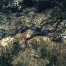
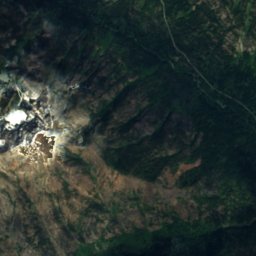
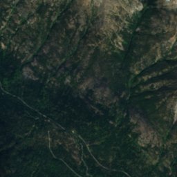
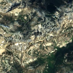
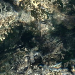
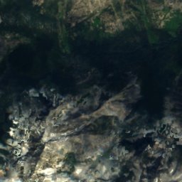
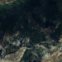
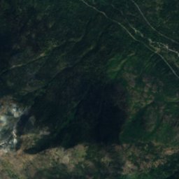
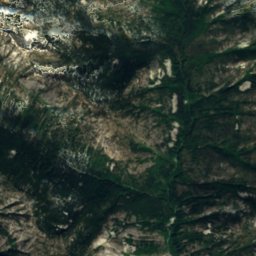
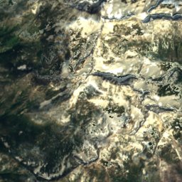
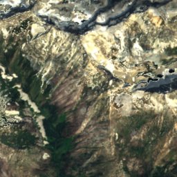
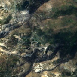
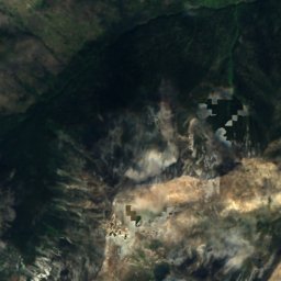
Satellite: Sentinel-2 cloudless 2016 by EOX IT Services GmbH · CC BY 4.0 · Contains modified Copernicus Sentinel data 2016
Louis Lake, Washington
Lake · 5,351 ft
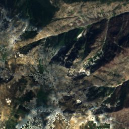
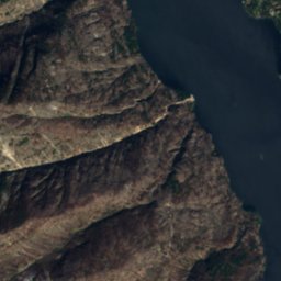
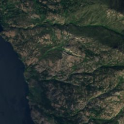
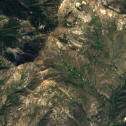
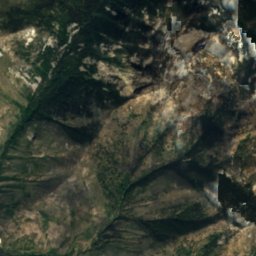
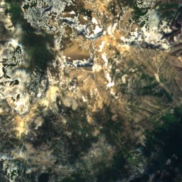
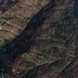
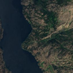
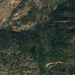
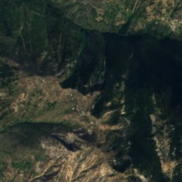
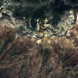
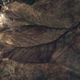
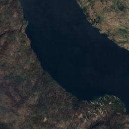
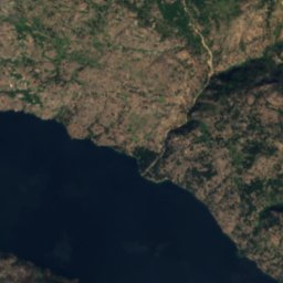
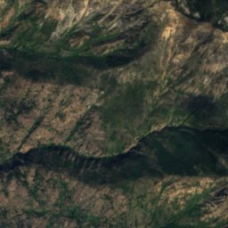
Satellite: Sentinel-2 cloudless 2016 by EOX IT Services GmbH · CC BY 4.0 · Contains modified Copernicus Sentinel data 2016
Round Lake, Stehekin
Lake · 3,196 ft
Mountains
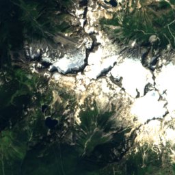
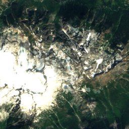
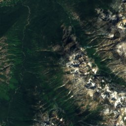
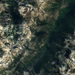
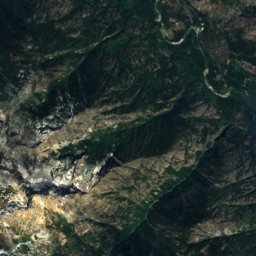
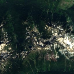
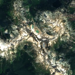
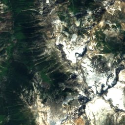
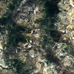
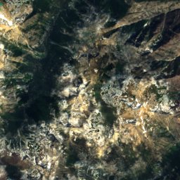
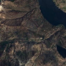
Satellite: Sentinel-2 cloudless 2016 by EOX IT Services GmbH · CC BY 4.0 · Contains modified Copernicus Sentinel data 2016
Bonanza Peak
9,516 ft · North Cascades
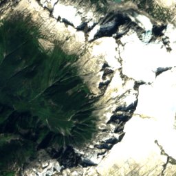
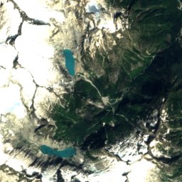
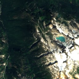
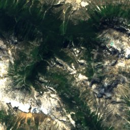
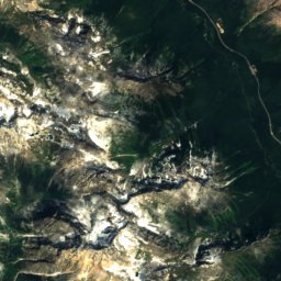
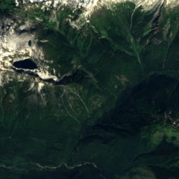
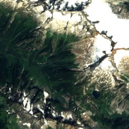
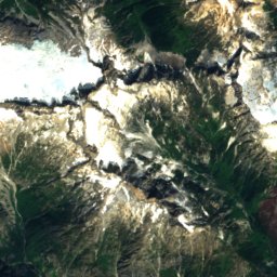
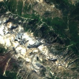
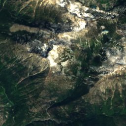
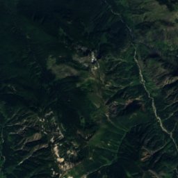
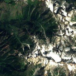
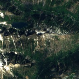
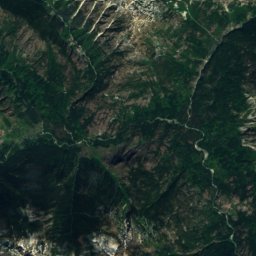
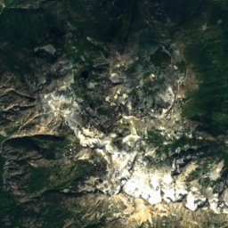
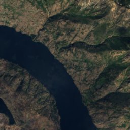
Satellite: Sentinel-2 cloudless 2016 by EOX IT Services GmbH · CC BY 4.0 · Contains modified Copernicus Sentinel data 2016
Goode Mountain
9,206 ft · North Cascades
Heritage


Satellite: Sentinel-2 cloudless 2016 by EOX IT Services GmbH · CC BY 4.0 · Contains modified Copernicus Sentinel data 2016
Purple Point-Stehekin Ranger Station House
National Register of Historic Places listed place · 1926


Satellite: Sentinel-2 cloudless 2016 by EOX IT Services GmbH · CC BY 4.0 · Contains modified Copernicus Sentinel data 2016
George Miller House
National Register of Historic Places listed place
Satellite: Sentinel-2 cloudless 2016 by EOX IT Services GmbH · CC BY 4.0 · Contains modified Copernicus Sentinel data 2016
Golden West Lodge Historic District
National Register of Historic Places listed place
Museums
Satellite: Sentinel-2 cloudless 2016 by EOX IT Services GmbH · CC BY 4.0 · Contains modified Copernicus Sentinel data 2016
Golden West Visitor Center
National Park Service visitor center