

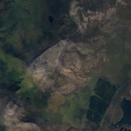
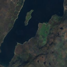
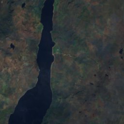


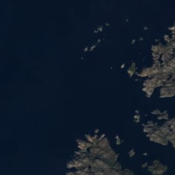
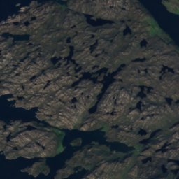
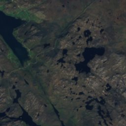
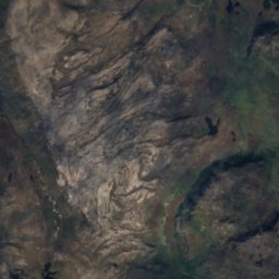
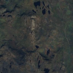
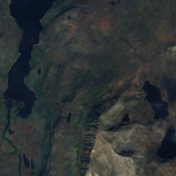

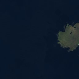
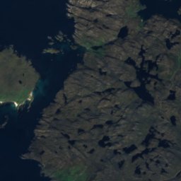
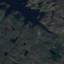
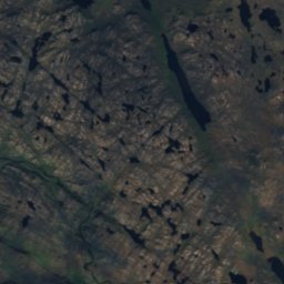
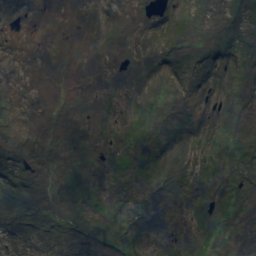
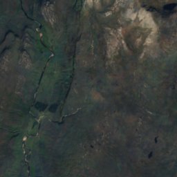


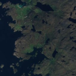
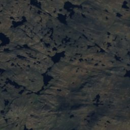
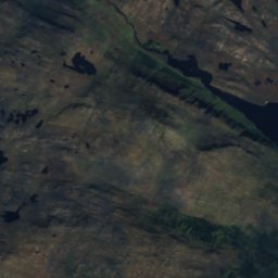
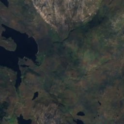
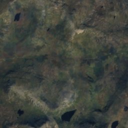
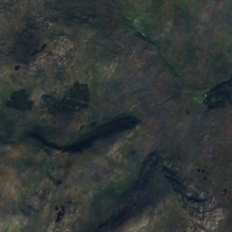

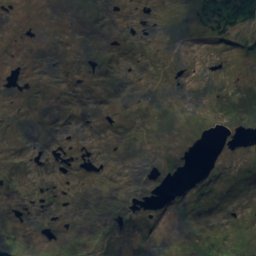
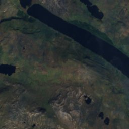
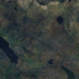
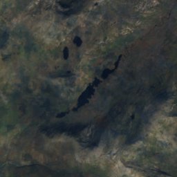
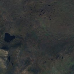
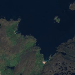
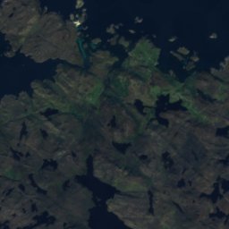
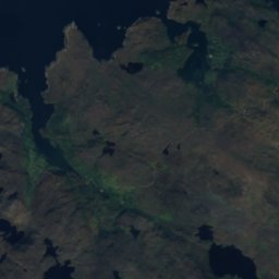
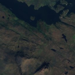
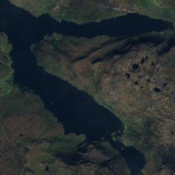
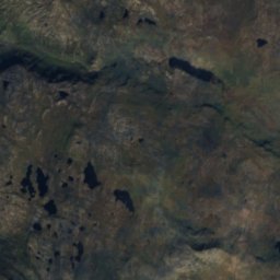
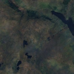
Satellite: Sentinel-2 cloudless 2016 by EOX IT Services GmbH · CC BY 4.0 · Contains modified Copernicus Sentinel data 2016
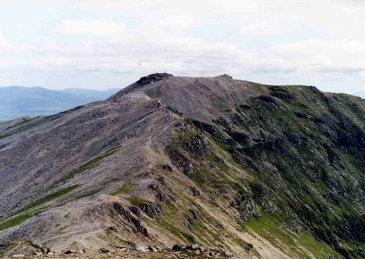
Photo: Mick Knapton at the English-language Wikipedia · CC BY-SA 3.0 · Wikimedia Commons
Ben More AssyntReport this photo · linked, not stored
Ben More AssyntBen More AssyntReport this photo · linked, not stored

Photo: Mick Knapton at the English Wikipedia · CC BY-SA 3.0 · Wikimedia Commons
ConivalReport this photo · linked, not stored
ConivalConivalReport this photo · linked, not stored

Photo: Squiddy at English Wikipedia · Public domain · Wikimedia Commons
Ben HopeReport this photo · linked, not stored
Ben HopeBen HopeReport this photo · linked, not stored
 Ben Hee
Scotland · United KingdomSummit weather, forecast and climate
Ben Stack
721 m
Elevation721 mabove sea level
Prominence532 mindependent height
Isolation5.0 kmto a higher summit
Summit, Jul14°average high
58.33° N, 4.96° WElevation 721 mUTC+0 · Greenwich Mean Time
From the valley to the top
- Summit721 m
- Mid-mountain370 m
- Valley · Kinlochbervie28 m
Freezing level in October: above the summit
iThe mountain
Ben Stack in brief
Ben Stack rises to 721 m, Scotland, United Kingdom. Its topographic prominence — the height it stands above the lowest contour enclosing a higher summit — is 532 m.
At the summit, July is the mildest month with average highs of 14°, while nights fall below freezing in 2 months of the year.
The nearest town is Kinlochbervie, 15 km to the N at 28 m.
Facts
- Elevation
- 721 m · 2,365 ft
- Prominence
- 532 m
- Region
- Scotland
- Country
- United Kingdom
- Coordinates
- 58.3349, -4.9577
- Nearest airport
- Stornoway Airport (SYY) · 81 km
iiForecast
Weather at three heights
Temperatures are adjusted to each height; summits are usually colder and windier than the valley forecast suggests.
Loading the latest forecast…
Loading the latest forecast…
Loading the latest forecast…
iiiSummit climate
The top of Ben Stack by month
Summit temperatures and precipitation
Climate normals for the summit area (~1 km grid), station-adjusted| Month | Jan | Feb | Mar | Apr | May | Jun | Jul | Aug | Sep | Oct | Nov | Dec |
|---|---|---|---|---|---|---|---|---|---|---|---|---|
| Average high | 3° | 3° | 5° | 7° | 10° | 12° | 14° | 13° | 11° | 8° | 6° | 4° |
| Average low | 0° | 0° | 0° | 1° | 4° | 6° | 9° | 9° | 7° | 5° | 2° | 0° |
| Precipitation | 302 mm | 231 mm | 251 mm | 161 mm | 145 mm | 134 mm | 163 mm | 200 mm | 254 mm | 286 mm | 295 mm | 265 mm |
| Cloud cover | 59% | 57% | 58% | 54% | 49% | 56% | 59% | 58% | 56% | 55% | 57% | 57% |
| Daylight | 7h 07 | 9h 22 | 11h 44 | 14h 22 | 16h 45 | 18h 14 | 17h 37 | 15h 27 | 12h 53 | 10h 22 | 7h 54 | 6h 25 |
| Month score | 13 | 14 | 13 | 15 | 17 | 23 | 32 | 31 | 22 | 15 | 14 | 14 |
Snow and freezing level
Average height of the 0 °C level from the summit normals (6.5 °C per km); snow months have a summit mean at or below +1 °C| Month | Jan | Feb | Mar | Apr | May | Jun | Jul | Aug | Sep | Oct | Nov | Dec |
|---|---|---|---|---|---|---|---|---|---|---|---|---|
| Freezing level | 950 m | 950 m | 1,100 m | 1,350 m | 1,750 m | 2,100 m | 2,450 m | 2,400 m | 2,150 m | 1,700 m | 1,300 m | 1,000 m |
| Summit | above 0 °C | above 0 °C | above 0 °C | above 0 °C | above 0 °C | above 0 °C | above 0 °C | above 0 °C | above 0 °C | above 0 °C | above 0 °C | above 0 °C |
ivTerrain
Ben Stack in 3D
vNeighbours
Mountains of the United KingdomPeaks nearby
| Mountain | Elevation | Prominence | Distance | July summit high |
|---|---|---|---|---|
| Ben More Assynt | 998 m | 835 m | 23 km S | 12° |
| Conival | 987 m | 101 m | 23 km S | 12° |
| Ben Hope | 927 m | 772 m | 22 km NE | 12° |
| Foinaven | 911 m | 690 m | 9.6 km NE | 11° |
| Ceann Garbh | 902 m | 63 m | 10 km NE | 12° |
| Ben Hee | 866 m | 600 m | 18 km SE | 13° |
| Canisp | 847 m | 691 m | 24 km S | 13° |
| Cranstackie | 801 m | 560 m | 16 km NE | 11° |
viBase towns
Where to stay nearby

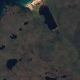
Satellite: Sentinel-2 cloudless 2016 by EOX IT Services GmbH · CC BY 4.0 · Contains modified Copernicus Sentinel data 2016
Kinlochbervie
Scotland · 15 km N
12°Oct high
22wet days
28score

Photo: Timothy A. Gonsalves · CC BY-SA 4.0 · Wikimedia CommonsReport this photo · linked, not stored
Inchnadamph
Scotland · 20 km S
12°Oct high
22wet days
26score

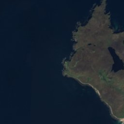


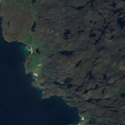


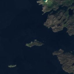
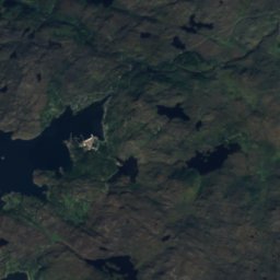
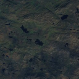
Satellite: Sentinel-2 cloudless 2016 by EOX IT Services GmbH · CC BY 4.0 · Contains modified Copernicus Sentinel data 2016
Lochinver
Scotland · 27 km SW
12°Oct high
22wet days
29score

Around here
Kinlochbervie and around
Satellite: Sentinel-2 cloudless 2016 by EOX IT Services GmbH · CC BY 4.0 · Contains modified Copernicus Sentinel data 2016
Kinlochbervie
Scotland · United Kingdom
Jul–Sepbest months
16°July high
28 maltitude
Nature

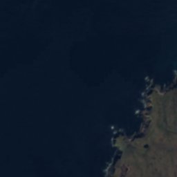
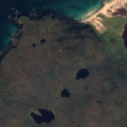
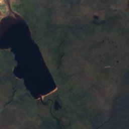


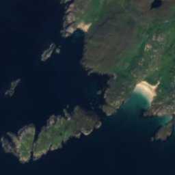
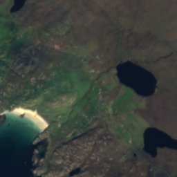
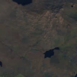
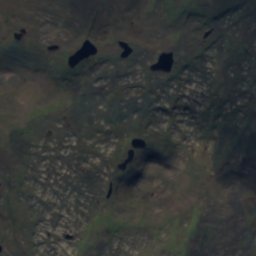
Satellite: Sentinel-2 cloudless 2016 by EOX IT Services GmbH · CC BY 4.0 · Contains modified Copernicus Sentinel data 2016
Loch Aisir Mòr
Lake · 52 m
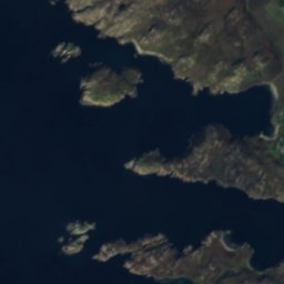
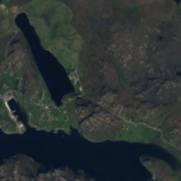
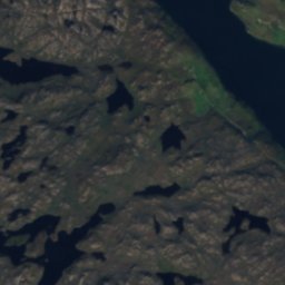
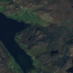
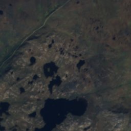
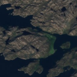
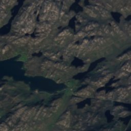
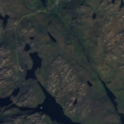
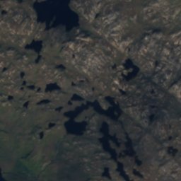
Satellite: Sentinel-2 cloudless 2016 by EOX IT Services GmbH · CC BY 4.0 · Contains modified Copernicus Sentinel data 2016
Easan Garbh
Waterfall
Satellite: Sentinel-2 cloudless 2016 by EOX IT Services GmbH · CC BY 4.0 · Contains modified Copernicus Sentinel data 2016
Eas na Glutachan
Waterfall
Mountains
Photo: Mick Knapton at the English-language Wikipedia · CC BY-SA 3.0 · Wikimedia CommonsReport this photo · linked, not stored
Ben More Assynt
998 m
Photo: Mick Knapton at the English Wikipedia · CC BY-SA 3.0 · Wikimedia CommonsReport this photo · linked, not stored
Conival
987 m
Photo: Squiddy at English Wikipedia · Public domain · Wikimedia CommonsReport this photo · linked, not stored
Ben Hope
927 m
Heritage






Satellite: Sentinel-2 cloudless 2016 by EOX IT Services GmbH · CC BY 4.0 · Contains modified Copernicus Sentinel data 2016
Foinaven
Site of Special Scientific Interest


Satellite: Sentinel-2 cloudless 2016 by EOX IT Services GmbH · CC BY 4.0 · Contains modified Copernicus Sentinel data 2016
Laxford Bridge
category B listed building