



















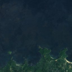
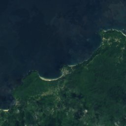
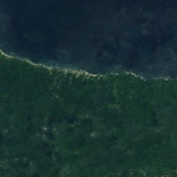
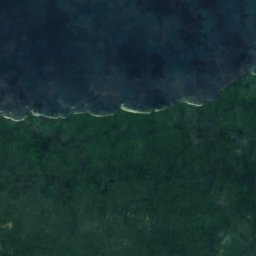
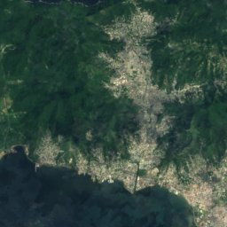
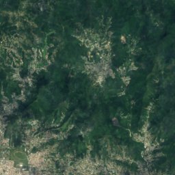
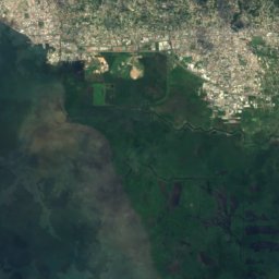
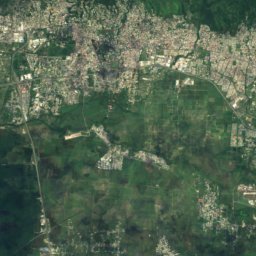
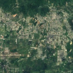
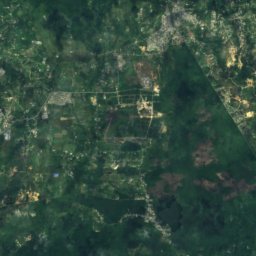



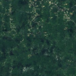
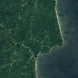

Satellite: Sentinel-2 cloudless 2016 by EOX IT Services GmbH · CC BY 4.0 · Contains modified Copernicus Sentinel data 2016
 El Tucuche
Northern Range · Borough of Arima · Trinidad and TobagoSummit weather, forecast and climate
El Cerro del Aripo
940 mMajor summit
Elevation940 mabove sea level
Prominence940 mindependent height
Isolation151 kmto a higher summit
Summit, Jul24°average high
10.72° N, 61.25° WElevation 940 mUTC−4 · Atlantic Standard Time
From the valley to the top
- Summit940 m
- Mid-mountain500 m
- Valley · Arima62 m
Freezing level in October: above the summit
iThe mountain
El Cerro del Aripo in brief
El Cerro del Aripo rises to 940 m in the Northern Range, Borough of Arima, Trinidad and Tobago. Its topographic prominence — the height it stands above the lowest contour enclosing a higher summit — is 940 m, a major independent summit.
At the summit, September is the mildest month with average highs of 25°, while nights rarely fall below freezing.
The nearest town in the atlas is Arima, 9.5 km to the S at 62 m.
Facts
- Elevation
- 940 m · 3,084 ft
- Prominence
- 940 m
- Range
- Northern Range
- Region
- Borough of Arima
- Country
- Trinidad and Tobago
- Coordinates
- 10.7167, -61.2500
- Nearest airport
- Piarco International Airport (POS) · 17 km
iiForecast
Weather at three heights
Temperatures are adjusted to each height; summits are usually colder and windier than the valley forecast suggests.
Loading the latest forecast…
Loading the latest forecast…
Loading the latest forecast…
iiiSummit climate
The top of El Cerro del Aripo by month
Summit temperatures and precipitation
Climate normals for the summit area (~1 km grid), station-adjusted| Month | Jan | Feb | Mar | Apr | May | Jun | Jul | Aug | Sep | Oct | Nov | Dec |
|---|---|---|---|---|---|---|---|---|---|---|---|---|
| Average high | 22° | 23° | 23° | 24° | 24° | 24° | 24° | 24° | 25° | 24° | 24° | 23° |
| Average low | 20° | 20° | 20° | 21° | 21° | 21° | 21° | 21° | 21° | 21° | 21° | 20° |
| Precipitation | 132 mm | 86 mm | 60 mm | 102 mm | 161 mm | 300 mm | 298 mm | 340 mm | 245 mm | 257 mm | 341 mm | 245 mm |
| Cloud cover | 19% | 22% | 24% | 34% | 39% | 51% | 44% | 43% | 45% | 47% | 39% | 28% |
| Daylight | 11h 34 | 11h 47 | 12h 04 | 12h 22 | 12h 37 | 12h 45 | 12h 42 | 12h 29 | 12h 11 | 11h 54 | 11h 38 | 11h 30 |
| Month score | 67 | 76 | 84 | 70 | 63 | 58 | 61 | 62 | 61 | 60 | 63 | 67 |
Snow and freezing level
Average height of the 0 °C level from the summit normals (6.5 °C per km); snow months have a summit mean at or below +1 °C| Month | Jan | Feb | Mar | Apr | May | Jun | Jul | Aug | Sep | Oct | Nov | Dec |
|---|---|---|---|---|---|---|---|---|---|---|---|---|
| Freezing level | 4,200 m | 4,200 m | 4,250 m | 4,400 m | 4,450 m | 4,400 m | 4,350 m | 4,400 m | 4,500 m | 4,450 m | 4,350 m | 4,250 m |
| Summit | above 0 °C | above 0 °C | above 0 °C | above 0 °C | above 0 °C | above 0 °C | above 0 °C | above 0 °C | above 0 °C | above 0 °C | above 0 °C | above 0 °C |
ivTerrain
El Cerro del Aripo in 3D
vNeighbours
Mountains of Trinidad and TobagoPeaks nearby
| Mountain | Elevation | Prominence | Distance | July summit high |
|---|---|---|---|---|
| El Tucuche | 936 m | 504 m | 18 km W | 24° |
viBase towns
Where to stay nearby
Satellite: Sentinel-2 cloudless 2016 by EOX IT Services GmbH · CC BY 4.0 · Contains modified Copernicus Sentinel data 2016
Arima
Borough of Arima · 9.5 km S
29°Oct high
24wet days
45score

Photo: Andy from Pittsburgh, United States · CC BY 2.0 · Wikimedia CommonsReport this photo · linked, not stored
Blanchisseuse
Tunapuna/Piarco · 11 km NW
28°Oct high
24wet days
51score

Around here
Arima and around
Nature
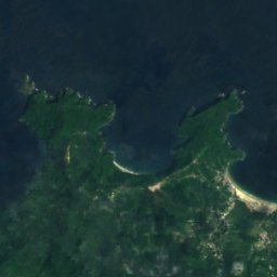
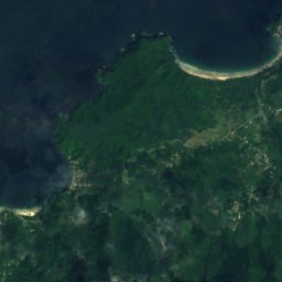
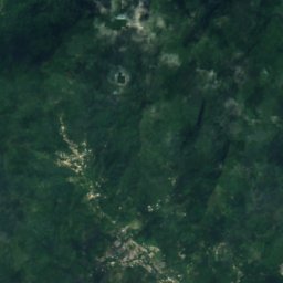
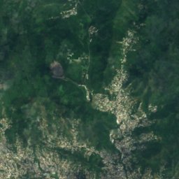
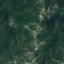
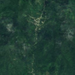
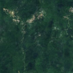
Satellite: Sentinel-2 cloudless 2016 by EOX IT Services GmbH · CC BY 4.0 · Contains modified Copernicus Sentinel data 2016
Caura River
River · 120 m

Photo: Michel-Jean Cazabon · Public domain · Wikimedia CommonsReport this photo · linked, not stored
Caroni River
River · 11 m
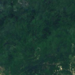
Satellite: Sentinel-2 cloudless 2016 by EOX IT Services GmbH · CC BY 4.0 · Contains modified Copernicus Sentinel data 2016
Hollis Reservoir
Lake
Mountains
Heritage


Satellite: Sentinel-2 cloudless 2016 by EOX IT Services GmbH · CC BY 4.0 · Contains modified Copernicus Sentinel data 2016
Eric Williams Memorial Collection
Memory of the World International Register · 1998